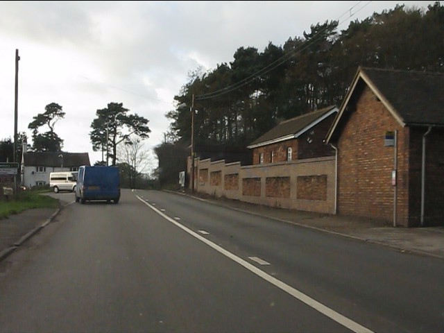
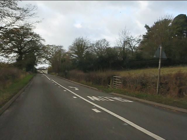
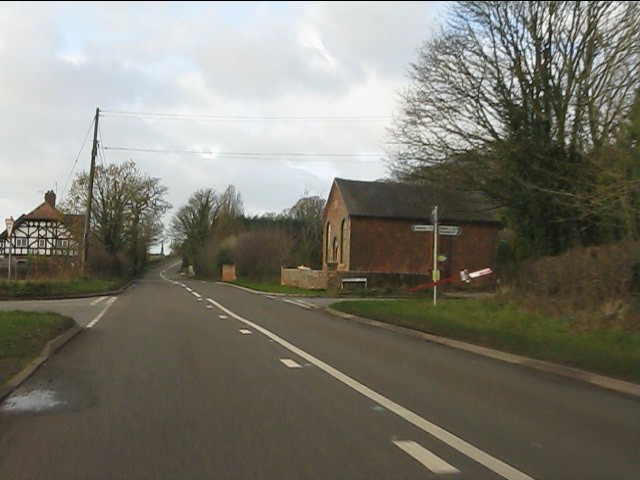
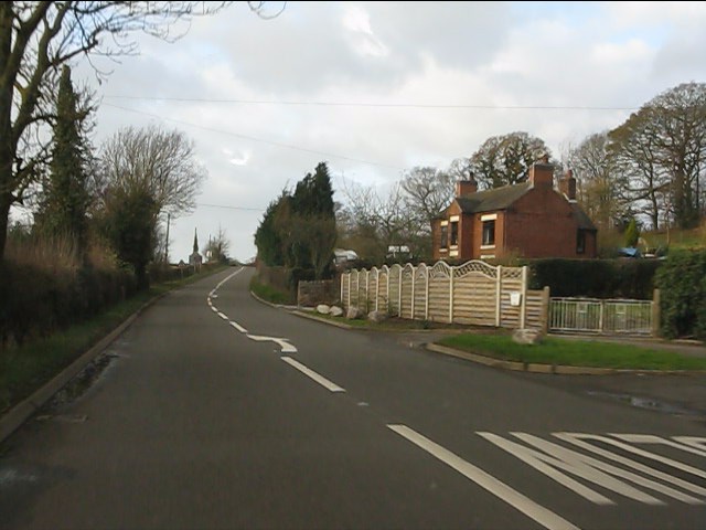
Blackbrook
Settlement in Staffordshire Newcastle-under-Lyme
England
Blackbrook
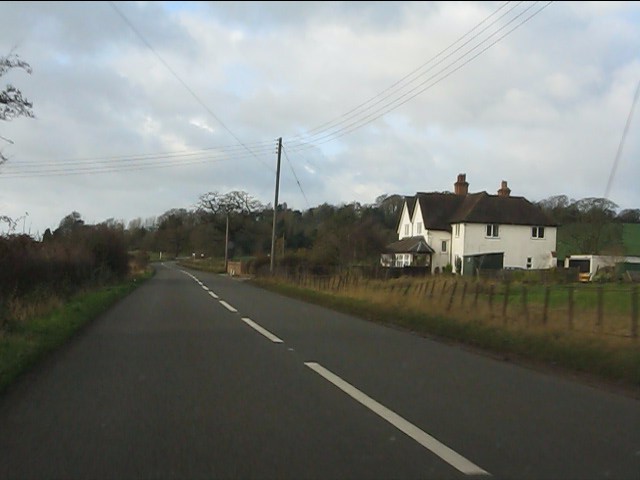
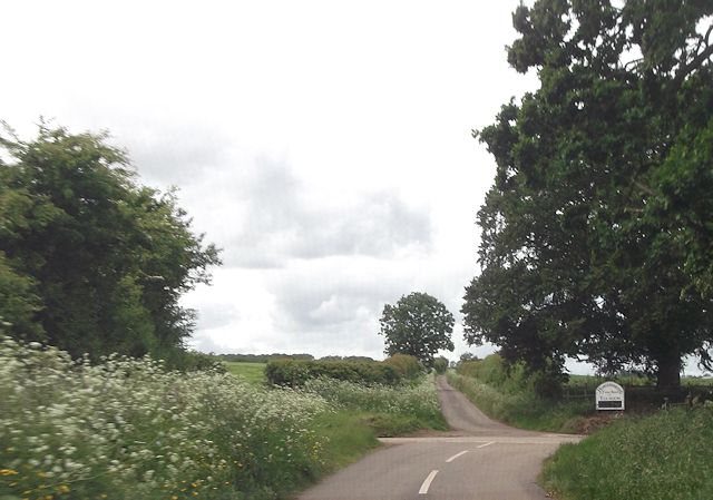
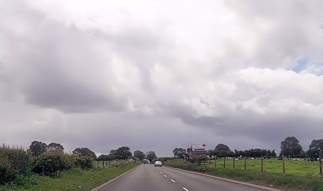
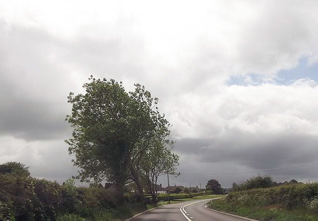
Blackbrook is a small village located in the county of Staffordshire, England. Situated approximately 4 miles north of the town of Newcastle-under-Lyme, it is surrounded by picturesque countryside, providing residents with a peaceful and rural environment.
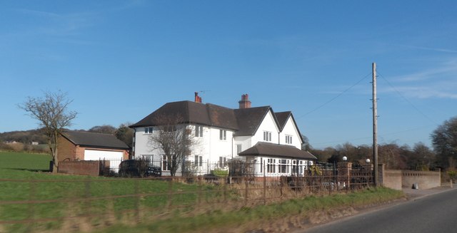
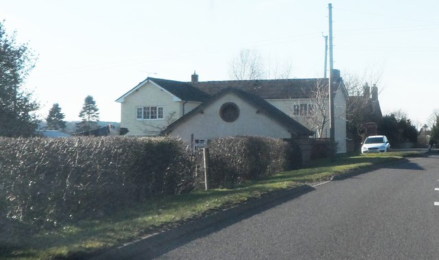
The village is primarily residential, with a population of around 1,200 people. Blackbrook offers a range of housing options, from traditional cottages to more modern properties, attracting a diverse mix of residents. The community is known for being close-knit and friendly, with a strong sense of community spirit.
Blackbrook benefits from its proximity to the nearby town of Newcastle-under-Lyme, which provides residents with a wide range of amenities. Within a short drive, residents can access supermarkets, shops, restaurants, and leisure facilities. The village is also conveniently located for commuting, with good transport links to nearby towns and cities such as Stoke-on-Trent and Stafford.
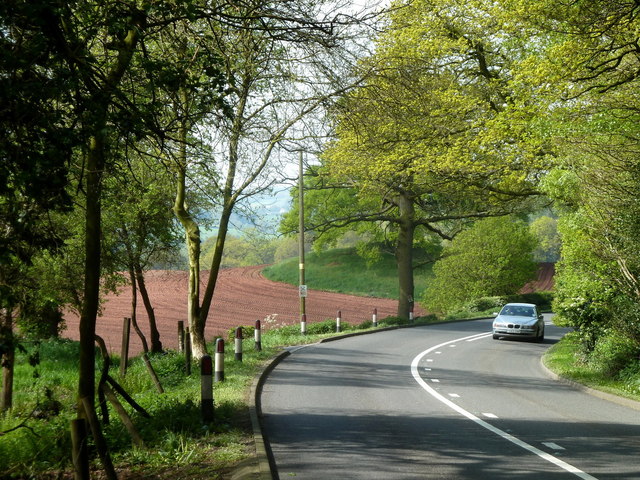
For outdoor enthusiasts, Blackbrook is surrounded by beautiful countryside, offering opportunities for walking, cycling, and exploring nature. The nearby Peak District National Park is within easy reach, providing stunning landscapes and outdoor activities for residents to enjoy.
In terms of education, Blackbrook has a primary school within the village, providing education for local children. Secondary schools and further education colleges are available in the surrounding towns, ensuring educational needs are catered to.
Overall, Blackbrook offers a peaceful and friendly village lifestyle, with access to amenities and beautiful countryside, making it an attractive place to live for individuals and families alike.
If you have any feedback on the listing, please let us know in the comments section below.
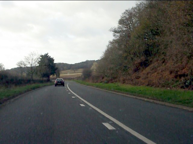
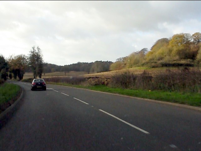
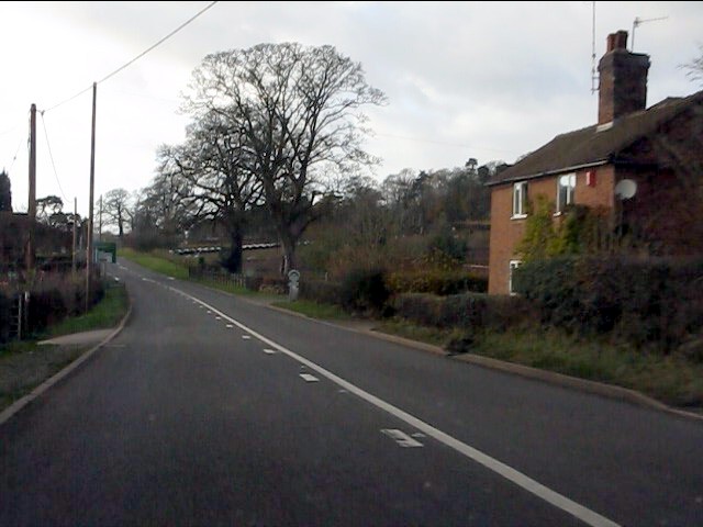
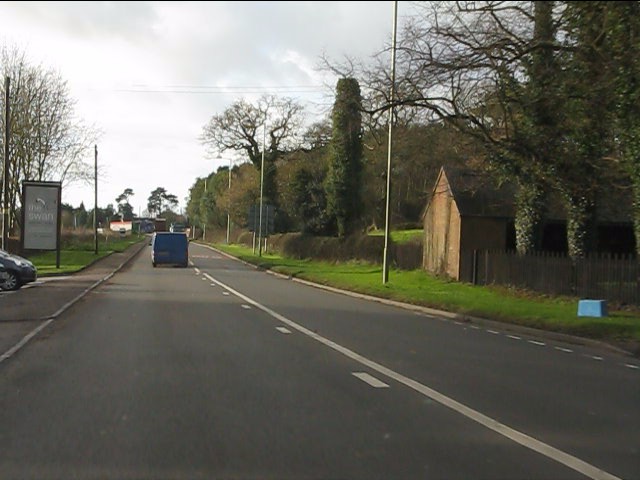
Blackbrook Images
Images are sourced within 2km of 52.94606/-2.346722 or Grid Reference SJ7638. Thanks to Geograph Open Source API. All images are credited.


Blackbrook is located at Grid Ref: SJ7638 (Lat: 52.94606, Lng: -2.346722)
Administrative County: Staffordshire
District: Newcastle-under-Lyme
Police Authority: Staffordshire
What 3 Words
///directors.blanket.padlock. Near Standon, Staffordshire
Nearby Locations
Related Wikis

Newcastle-under-Lyme Rural District
Newcastle-under-Lyme Rural District was a rural district in the county of Staffordshire. It was formed in 1894 with the civil parishes of Ashley, Audley...
Berth Hill
Berth Hill is an Iron Age hillfort in Staffordshire, England, about 5 miles (8.0 km) south-west of Newcastle-under-Lyme, and near the village of Maer....
Maer, Staffordshire
Maer is a rural village and civil parish in the Borough of Newcastle-under-Lyme, Staffordshire, England, to the west of the pottery manufacturing town...

Maer Hall
Maer Hall is a large Grade II listed 17th-century country house in Maer, Staffordshire, set in a park which is listed Grade II in Historic England's Register...

Ashley, Staffordshire
Ashley is a village and former civil parish, now in the parish of Loggerheads, in the Newcastle-under-Lyme district, in the county of Staffordshire, England...
Baldwin's Gate
Baldwin's Gate is a village in the Borough of Newcastle-under-Lyme in Staffordshire. The population details for the 2011 census can be found under Whitmore...
Whitmore railway station
Whitmore was a station serving the village of Whitmore, Staffordshire. == History == The station opened onto the Grand Junction Railway in 1837: 41 when...
Madeley Road railway station
Madeley Road railway station is a disused railway station in Staffordshire, England. The Stoke to Market Drayton Line was opened by the North Staffordshire...
Nearby Amenities
Located within 500m of 52.94606,-2.346722Have you been to Blackbrook?
Leave your review of Blackbrook below (or comments, questions and feedback).