Blackborough End

Settlement in Norfolk King's Lynn and West Norfolk

England

Blackborough End

Looking northwards up Station Road During a great walking week-end in Norfolk with two friends from my school days (1972 - 1979) there were times when I nipped off in the car to look at churches and other historical features: these are they!
Looking northwards up Station Road Credit: Basher Eyre

Blackborough End is a small village located in the county of Norfolk, England. Situated approximately 7 miles west of the town of King's Lynn, it falls under the jurisdiction of the King's Lynn and West Norfolk District Council. The village lies in a rural area, surrounded by picturesque countryside and farmland.

Historically, Blackborough End was primarily an agricultural community, with farming being the main occupation of its residents. Over the years, the village has seen some development, with new housing estates being built to accommodate a growing population. However, it has managed to retain its rural charm and peaceful ambiance.

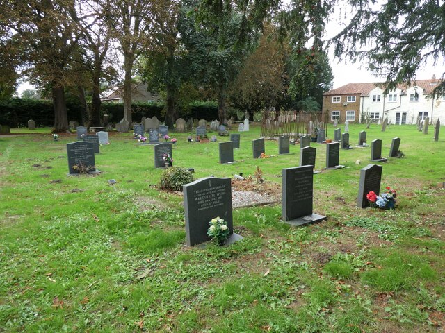
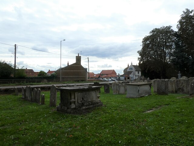
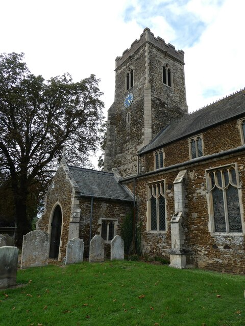
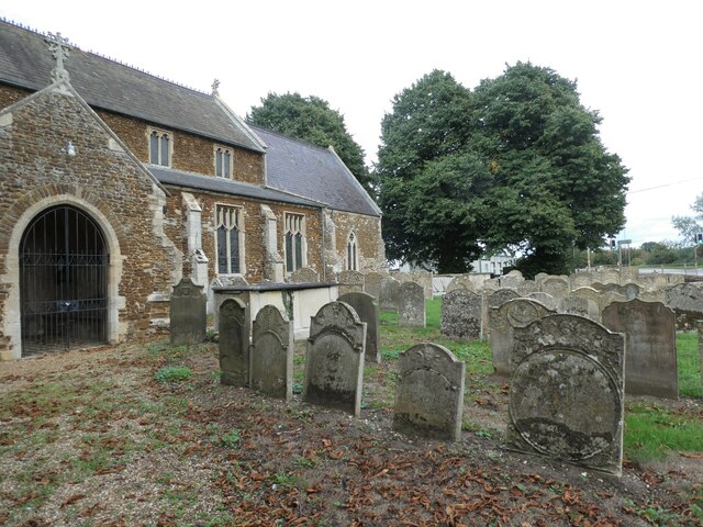
The village is home to St. Mary's Church, a beautiful Grade II listed building that dates back to the 12th century. The church serves as the spiritual center for the local community and is known for its stunning architecture and historical significance.

Blackborough End benefits from its close proximity to the bustling market town of King's Lynn, which offers a wide range of amenities and services, including shops, restaurants, and leisure facilities. The village also enjoys good transport links, with regular bus services connecting it to nearby towns and villages.

Overall, Blackborough End is a quaint and idyllic village that appeals to those seeking a tranquil and close-knit community, while still benefiting from easy access to the amenities and services of the nearby town.

If you have any feedback on the listing, please let us know in the comments section below.

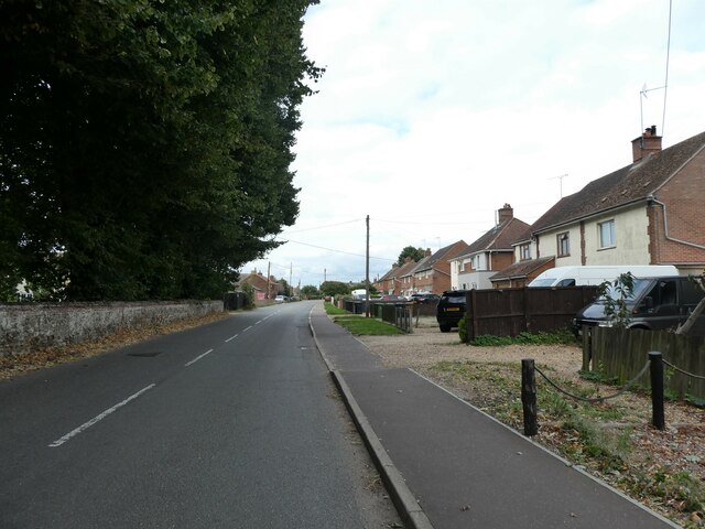
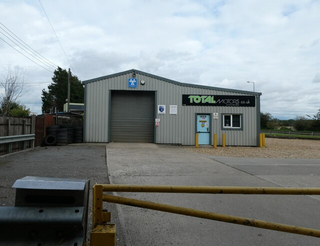
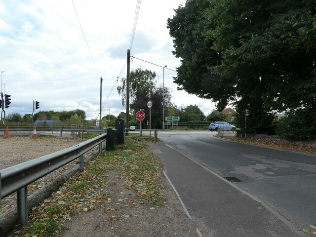
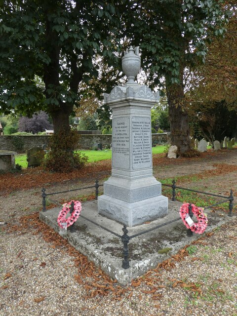
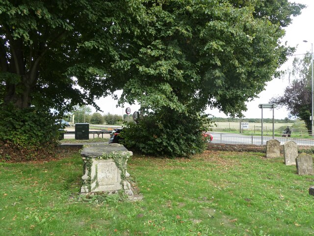
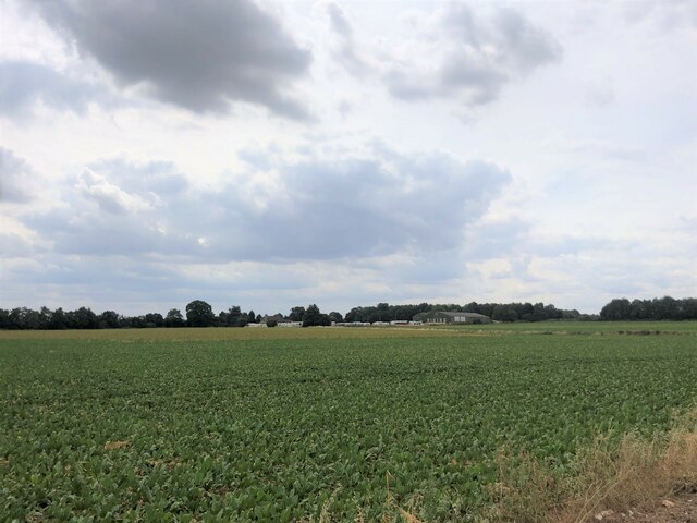
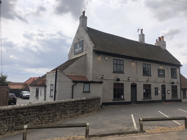
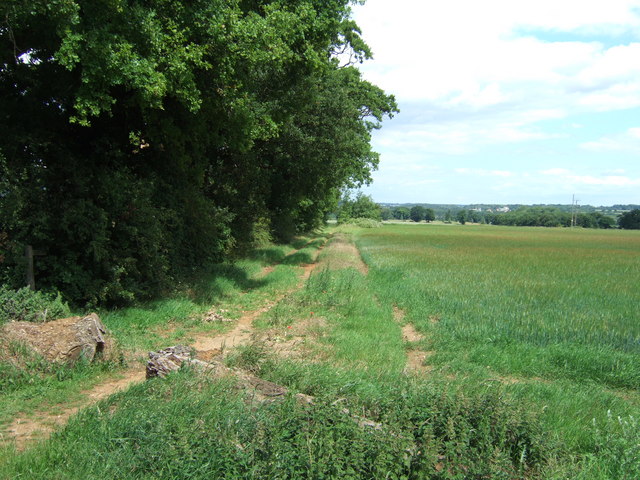
Blackborough End Images

Images are sourced within 2km of 52.703136/0.459891 or Grid Reference TF6614. Thanks to Geograph Open Source API. All images are credited.

Looking northwards up Station Road During a great walking week-end in Norfolk with two friends from my school days (1972 - 1979) there were times when I nipped off in the car to look at churches and other historical features: these are they!
Looking northwards up Station Road
During a great walking week-end in Norfolk with two friends from my school days (1972 - 1979) there were times when I nipped off in the car to look at churches and other historical features: these are they!
Total Motors: mid September 2022
Looking southwards along Station Road towards the A47
St Mary, Middleton: churchyard (a)
St Mary, Middleton: churchyard (b)
St Mary, Middleton: churchyard (c)
St Mary, Middleton: churchyard (d)
St Mary, Middleton: churchyard (e)
St Mary, Middleton: churchyard (f)
Beet field Blackborough End Equestrian Centre on the other side of the field
Beet field
Blackborough End Equestrian Centre on the other side of the field
Middletons Steakhouse and Grill Restaurant on the A47 at Middleton
Middletons Steakhouse and Grill
Restaurant on the A47 at Middleton
Bridleway east of Middleton, King's Lynn
Mound near the reservoir On A47 east of Middleton near King's Lynn
Mound near the reservoir
On A47 east of Middleton near King's Lynn
Communications mast near Middleton, King's Lynn
Sugar beet crop near Blackborough End, King's Lynn This lush looking crop of beet north of East Winch Road is totally surrounded by a chicken wire fence several miles long to stop the local rabbits having a field day
Sugar beet crop near Blackborough End, King's Lynn
This lush looking crop of beet north of East Winch Road is totally surrounded by a chicken wire fence several miles long to stop the local rabbits having a field day
Stubble field south of Lynn Road (A47)
View across stubble field north of West Winch Road The communications mast seen in background (in square) is located near Mill Farm.
View across stubble field north of West Winch Road
The communications mast seen in background (in square) is located near Mill Farm.
East Winch road north of Blackborough End
Show me another place!

Blackborough End is located at Grid Ref: TF6614 (Lat: 52.703136, Lng: 0.459891)

Administrative County: Norfolk

District: King's Lynn and West Norfolk

Police Authority: Norfolk

What 3 Words

///crunches.smashes.skillet. Near King's Lynn, Norfolk

Related Wikis

Blackborough End Pit

Blackborough End Pit is a 13.2-hectare (33-acre) geological Site of Special Scientific Interest south-east of King's Lynn in Norfolk. It is a Geological...

Blackborough Priory

Blackborough Priory was a Benedictine monastic house in Norfolk, England, about 5 miles or 8 km south east of King's Lynn. The Ordnance Survey map shows...

Middleton, Norfolk

Middleton is a village and civil parish in the English county of Norfolk. It covers an area of 5.02 sq mi (13.0 km2) and had a population of 1,516 in 621...

Middleton Mount

Middleton Mount, also called Middleton Motte and Middleton Castle, is the remains of a medieval castle situated in the village of Middleton, in Norfolk...

Nearby Amenities

Located within 500m of 52.703136,0.459891
Blackborough End
Is In: Norfolk
Place: hamlet
Lat/Long: 52.7051397/0.4641327
Green, opp
Naptan AtcoCode: 2900M1615
Naptan Bearing: NE
Naptan BusStopType: CUS
Naptan CommonName: Green
Naptan Indicator: opp
Naptan Locality: Blackborough End
Naptan NaptanCode: nfodgmgm
Naptan Street: East Winch Road
Naptan Verified: no
Source: naptan_import
Lat/Long: 52.7063883/0.4637906
Green, adj
Naptan AtcoCode: 2900M166
Naptan Bearing: SW
Naptan BusStopType: CUS
Naptan CommonName: Green
Naptan Indicator: adj
Naptan Locality: Blackborough End
Naptan NaptanCode: nfodgmjm
Naptan Street: East Winch Road
Naptan Verified: no
Source: naptan_import
Lat/Long: 52.706332/0.4639059
Manor Farm
Addr City: King's Lynn
Addr Housename: Blackborough Manor Farm
Addr Postcode: PE32 1SL
Addr Street: Setch Road
Description: Private Farm
Note Retag: CS #48756035
Place: farm
Lat/Long: 52.7058579/0.4545637
Power: pole
Lat/Long: 52.707371/0.4620856
Power: pole
Lat/Long: 52.706417/0.4625362
Location Transition: yes
Power: pole
Transformer: distribution
Lat/Long: 52.7052762/0.4625872
Bench
Backrest: yes
Inscription: Golden Jubilee
Material: metal
Seats: 4
Lat/Long: 52.7060721/0.4634797
Waste Basket
Lat/Long: 52.7060343/0.4634804
Blackborough End
Man Made: village_sign
Material: concrete
Note: Triangular shrub wrapper
Lat/Long: 52.7062123/0.4635192
Give Way
Lat/Long: 52.7062924/0.4633823
Give Way
Lat/Long: 52.7062967/0.4637446
Give Way
Lat/Long: 52.7058897/0.463424
Give Way
Lat/Long: 52.7050074/0.4629144
The data included in this document is from www.openstreetmap.org. The data is made available under ODbL.

Have you been to Blackborough End?

Leave your review of Blackborough End below (or comments, questions and feedback).