Blackborough

Settlement in Norfolk King's Lynn and West Norfolk

England

Blackborough

Beet field Blackborough End Equestrian Centre on the other side of the field
Beet field Credit: Eirian Evans

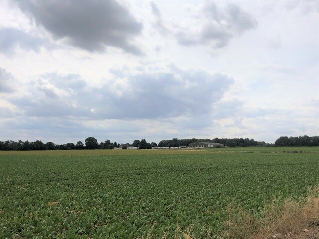
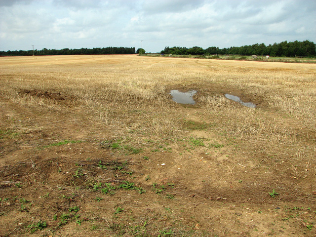
Blackborough is a small village located in the county of Norfolk, England. Situated approximately 13 miles west of the city of Norwich, it falls within the district of Breckland. The village is nestled in the picturesque countryside, surrounded by fields and farmland.

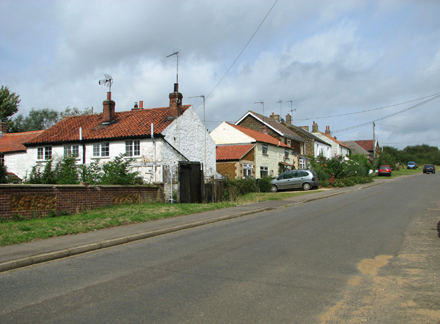
With a population of around 300 residents, Blackborough maintains a close-knit community atmosphere. The village is characterized by its charming traditional cottages, many of which date back several centuries, giving it a quintessential English village feel. The architecture is predominantly red brick, with thatched roofs and beautiful gardens adding to its aesthetic appeal.

Blackborough is home to St. John the Baptist Church, a historic place of worship that stands as a prominent landmark within the village. The church dates back to the 13th century and features intricate stained glass windows and a striking spire.

While Blackborough does not have many amenities of its own, the nearby village of Shipdham offers a range of services, including a primary school, shops, and a pub. The village is also conveniently located for access to the larger towns of Dereham and Watton, which provide additional facilities and amenities.

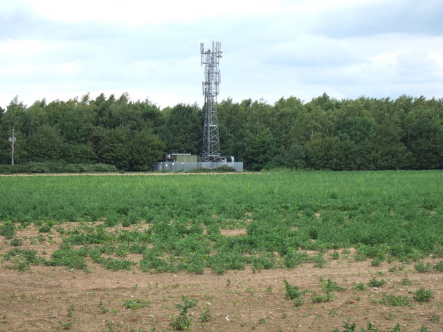
The surrounding countryside offers ample opportunities for outdoor activities, with numerous footpaths and bridleways crisscrossing the area. This makes Blackborough an ideal location for nature enthusiasts, walkers, and cyclists, who can enjoy exploring the scenic landscapes and tranquil surroundings.

If you have any feedback on the listing, please let us know in the comments section below.

Blackborough Images

Images are sourced within 2km of 52.697922/0.46991742 or Grid Reference TF6714. Thanks to Geograph Open Source API. All images are credited.

Beet field Blackborough End Equestrian Centre on the other side of the field
Beet field
Blackborough End Equestrian Centre on the other side of the field
Communications mast near Middleton, King's Lynn
Sugar beet crop near Blackborough End, King's Lynn This lush looking crop of beet north of East Winch Road is totally surrounded by a chicken wire fence several miles long to stop the local rabbits having a field day
Sugar beet crop near Blackborough End, King's Lynn
This lush looking crop of beet north of East Winch Road is totally surrounded by a chicken wire fence several miles long to stop the local rabbits having a field day
Stubble field south of Lynn Road (A47)
View across stubble field north of West Winch Road The communications mast seen in background (in square) is located near Mill Farm.
View across stubble field north of West Winch Road
The communications mast seen in background (in square) is located near Mill Farm.
East Winch road north of Blackborough End
To Blackborough End on East Winch Road
Cottages in Blackborough End
K6 telephone box and pillarbox at bus stop, Blackborough End
Cottages in Blackborough End
Old stone barn at Manor Farm
Setch Road past Manor Farm
Barn at Manor Farm
Barn at Manor Farm
To Setchey on Setch Road The stone barns seen at right belong to Manor Farm.
To Setchey on Setch Road
The stone barns seen at right belong to Manor Farm.
"Country Drain" next to Denton's Farm
Denton's Farm Made of the local "gingerbread" stone or Carrstone. See: <a href="https://www.geograph.org.uk/photo/3673317">TF6834 : Carrstone quarry north of Snettisham: aerial 2013</a>.
Denton's Farm
Made of the local "gingerbread" stone or Carrstone. See: TF6834 : Carrstone quarry north of Snettisham: aerial 2013.
Cockle shells by Denton's Farm Maybe a local building material?
Cockle shells by Denton's Farm
Maybe a local building material?
New pond in the Nar Valley This one is marked only on more recent maps, but is next to a complex of water filled sand pits.
New pond in the Nar Valley
This one is marked only on more recent maps, but is next to a complex of water filled sand pits.
Show me another place!

Blackborough is located at Grid Ref: TF6714 (Lat: 52.697922, Lng: 0.46991742)

Administrative County: Norfolk

District: King's Lynn and West Norfolk

Police Authority: Norfolk

What 3 Words

///cheetahs.depend.joins. Near Narborough, Norfolk

Related Wikis

Blackborough Priory

Blackborough Priory was a Benedictine monastic house in Norfolk, England, about 5 miles or 8 km south east of King's Lynn. The Ordnance Survey map shows...

Blackborough End Pit

Blackborough End Pit is a 13.2-hectare (33-acre) geological Site of Special Scientific Interest south-east of King's Lynn in Norfolk. It is a Geological...

Middleton, Norfolk

Middleton is a village and civil parish in the English county of Norfolk. It covers an area of 5.02 sq mi (13.0 km2) and had a population of 1,516 in 621...

Wormegay

Wormegay is a civil parish in the English county of Norfolk. The village is situated some 9 kilometres (5.6 miles) south of King's Lynn and 60 km (37 mi...

Nearby Amenities

Located within 500m of 52.697922,0.46991742
Power: tower
Ref: 4VV 55
Lat/Long: 52.694428/0.468963
Blackborough
Place: locality
Lat/Long: 52.6996999/0.4750147
Barrier: stile
Bicycle: yes
Foot: yes
Material: wood
Stile: stepover
Lat/Long: 52.6938007/0.4696757
Barrier: kissing_gate
Bicycle: no
Foot: yes
Lat/Long: 52.6938173/0.4692589
Note: Way continues west.
Lat/Long: 52.6939395/0.4685357
The data included in this document is from www.openstreetmap.org. The data is made available under ODbL.

Have you been to Blackborough?

Leave your review of Blackborough below (or comments, questions and feedback).