Rhenetra

Settlement in Inverness-shire

Scotland

Rhenetra

Loch Eyre sunset A spectacular sky seen over Loch Eyre as the sun drops behind Lyndale Point.
Loch Eyre sunset Credit: John Allan

Rhenetra is a small village located in the historic county of Inverness-shire, Scotland. Situated in the picturesque Highlands region, it is nestled between the River Ness and the Great Glen, offering breathtaking natural beauty and a tranquil atmosphere. With a population of around 200 residents, Rhenetra embodies the charm and serenity of rural Scottish life.

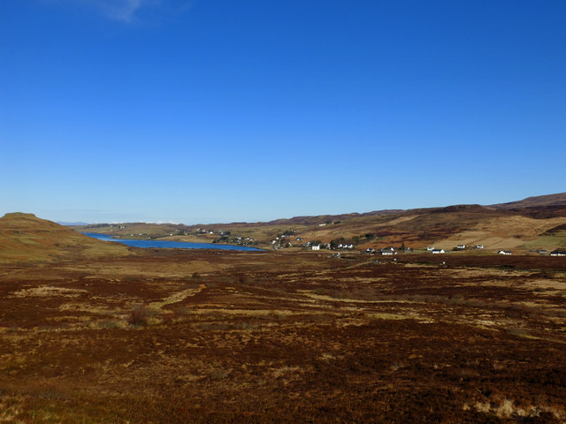
The village is surrounded by lush green landscapes, rolling hills, and expansive forests, making it an ideal destination for outdoor enthusiasts. Visitors can explore the nearby Glen Affric, known for its ancient Caledonian pine forests and stunning lochs, including Loch Beinn a' Mheadhoin and Loch Affric. The region also offers opportunities for hiking, mountain biking, and bird-watching.

Rhenetra is well-connected to the rest of Inverness-shire, with the town of Inverness located just 15 miles to the northeast. Inverness provides a range of amenities, including shopping centers, restaurants, and cultural attractions such as Inverness Castle and the Inverness Museum and Art Gallery.

The village itself has a close-knit community, with a local primary school, a community hall, and a small post office serving as central meeting points. While Rhenetra does not have its own shops or pubs, residents and visitors can easily access these facilities in nearby villages.

Overall, Rhenetra offers a peaceful retreat for those seeking solace in the Scottish Highlands, with its stunning natural surroundings and warm community spirit.

If you have any feedback on the listing, please let us know in the comments section below.
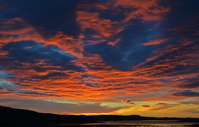
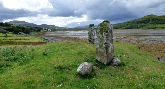
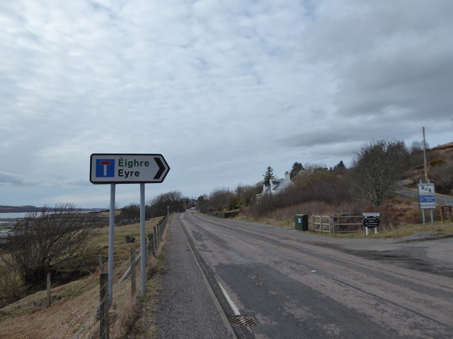
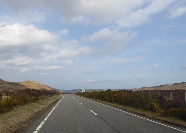
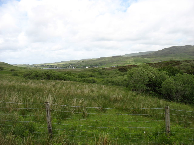
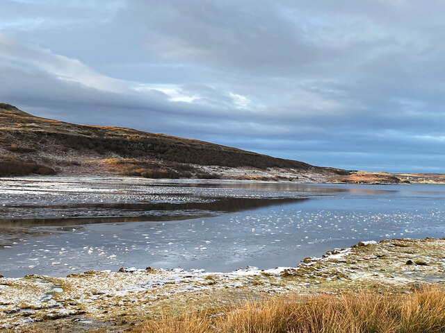
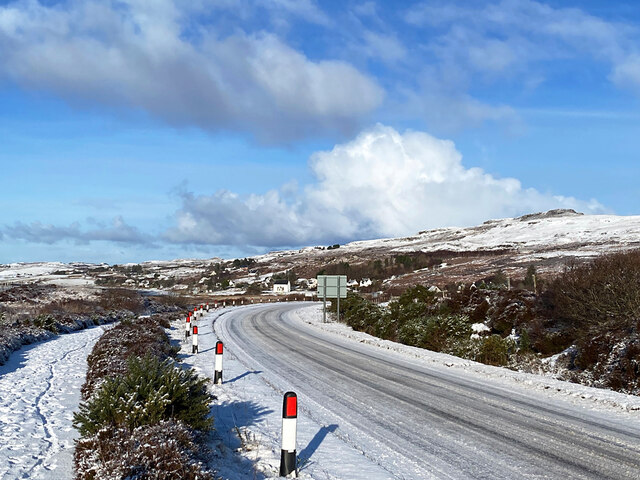
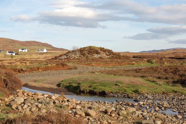
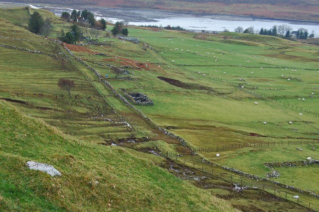
Rhenetra Images

Images are sourced within 2km of 57.480436/-6.2937748 or Grid Reference NG4251. Thanks to Geograph Open Source API. All images are credited.

Loch Eyre sunset A spectacular sky seen over Loch Eyre as the sun drops behind Lyndale Point.
Loch Eyre sunset
A spectacular sky seen over Loch Eyre as the sun drops behind Lyndale Point.
Moorland at Prabost Taken from the high point of this expanse of rough moorland, looking towards Kensaleyre and Loch Eyre.
Moorland at Prabost
Taken from the high point of this expanse of rough moorland, looking towards Kensaleyre and Loch Eyre.
Church of Scotland, Kensaleyre
Snizort Parish Church, Kensaleyre Situated at the head of Loch Eyre, at the south end of the settlement of Kensaleyre, this Church of Scotland building is by James Gillespie Graham and dates from 1801.
Snizort Parish Church, Kensaleyre
Situated at the head of Loch Eyre, at the south end of the settlement of Kensaleyre, this Church of Scotland building is by James Gillespie Graham and dates from 1801.
Croft land at Keistle Rough grazing for sheep in the settlement of Keistle. The far summit is the less familiar western flank of the famous Storr. <a href="https://www.geograph.org.uk/photo/1034984">NG4953 : The Storr over Loch Fada</a>
Croft land at Keistle
Rough grazing for sheep in the settlement of Keistle. The far summit is the less familiar western flank of the famous Storr. NG4953 : The Storr over Loch Fada
Standing stones at Eyre Three stones are said to have once stood here, but only two now remain.
<span class="nowrap"><a title="https://stonerows.wordpress.com/gazetteer/region/western-isles/eyre-alignment/" rel="nofollow ugc noopener" href="https://stonerows.wordpress.com/gazetteer/region/western-isles/eyre-alignment/">Link</a><img style="margin-left:2px;" alt="External link" title="External link - shift click to open in new window" src="https://s1.geograph.org.uk/img/external.png" width="10" height="10"/></span>
Standing stones at Eyre
Three stones are said to have once stood here, but only two now remain. LinkExternal link
Where? Eyre! With apologies to Dave Fergusson who got there first <a title="https://www.geograph.org.uk/photo/2018679" href="https://www.geograph.org.uk/photo/2018679">Link</a>
Where? Eyre!
With apologies to Dave Fergusson who got there first Link
Turning for Prabost
Turning for Prabost
Bridge over the River Haultin
A87 at Eyre
A87 at Eyre
Country south of Eyre
The church at Kensaleyre
Banks of Loch Eyre
Banks of Loch Eyre
Church at Kensaleyre
Ice near the head of Loch Eyre The loch here is shallow and dries at low tide. The River Haultin enters the sea close by, so the water is quite low in salinity and prone to freezing in cold weather.
Ice near the head of Loch Eyre
The loch here is shallow and dries at low tide. The River Haultin enters the sea close by, so the water is quite low in salinity and prone to freezing in cold weather.
The A87 to Uig, approaching the Annishader junction
Moorland near Prabost Moorland beside the A87 Uig road.
Moorland near Prabost
Moorland beside the A87 Uig road.
Show me another place!

Rhenetra is located at Grid Ref: NG4251 (Lat: 57.480436, Lng: -6.2937748)

Unitary Authority: Highland

Police Authority: Highlands and Islands

What 3 Words

///buggy.refusals.exporters. Near Portree, Highland

Related Wikis

Kensaleyre

Kensaleyre (Scottish Gaelic: Ceann Sàil Eighre) is a scattered crofting township, part of a group of settlements clustered around the A87 road on the shore...

Dun Cruinn

Dun Cruinn is a prehistoric site about 10 kilometres (6.2 mi) north-west of Portree, on the Isle of Skye, Scotland. It is on the Skerinish Peninsula, between...

Eyre, Skye

Eyre (Scottish Gaelic: Eighre) is a settlement on the eastern shore of Loch Snizort Beag on the northern coast of Skye in Scotland.The two Eyre standing...

Bernisdale

Bernisdale (Scottish Gaelic: Beàrnasdal) is a small township, near the head of Loch Snizort Beag, Isle of Skye in the Highlands and Islands and is in the...

Nearby Amenities

Located within 500m of 57.480436,-6.2937748
Bus Stop
Keistle Road End
Direction: S
Local Ref: AT
Long Name: Kensaleyre, at Keistle Rd End
Naptan AtcoCode: 6700712857
Naptan Bearing: SE
Naptan CommonName: Keistle Road End
Naptan Indicator: at
Naptan Landmark: Bus Shelter
Naptan NaptanCode: 45328348
Naptan Street: A87
Naptan Verified: no
Source: naptan_import
Lat/Long: 57.4810325/-6.301412
Ardachaidh B&B
Addr City: Snizort
Addr Postcode: IV51 9XF
Addr Street: Rhenetra
Email: evi777@hotmail.co.uk
Phone: +44 1470 532525
Tourism: guest_house
Lat/Long: 57.4802796/-6.2890734
Power: pole
Lat/Long: 57.4823628/-6.299845
Power: pole
Lat/Long: 57.4822513/-6.2983896
Power: pole
Lat/Long: 57.4821615/-6.2971919
Power: pole
Lat/Long: 57.482049/-6.2957647
Power: pole
Lat/Long: 57.4819603/-6.2945046
Power: pole
Lat/Long: 57.4818477/-6.2930431
Power: pole
Lat/Long: 57.481746/-6.2915777
Power: pole
Lat/Long: 57.4813683/-6.2912093
Power: pole
Lat/Long: 57.4807191/-6.2905571
Power: pole
Lat/Long: 57.4803609/-6.2905169
Power: pole
Lat/Long: 57.4795677/-6.2904182
Power: pole
Lat/Long: 57.4786889/-6.2903196
Power: pole
Lat/Long: 57.4778827/-6.2898465
Power: pole
Lat/Long: 57.4773686/-6.2895547
Power: pole
Lat/Long: 57.4767193/-6.2891762
Power: pole
Lat/Long: 57.4822503/-6.2994967
Power: pole
Lat/Long: 57.4821215/-6.2977877
Power: pole
Lat/Long: 57.4819711/-6.2958492
Power: pole
Lat/Long: 57.4818445/-6.2941825
Power: pole
Lat/Long: 57.4817179/-6.2925117
Power: pole
Lat/Long: 57.4812125/-6.2916522
Power: pole
Lat/Long: 57.480679/-6.2907121
Power: pole
Lat/Long: 57.4796845/-6.2905913
Power: pole
Lat/Long: 57.4786662/-6.2904746
Power: pole
Lat/Long: 57.4778426/-6.2900056
Power: pole
Lat/Long: 57.4768816/-6.2894419
Power: pole
Lat/Long: 57.4815464/-6.2996719
Power: pole
Lat/Long: 57.480857/-6.299856
Power: pole
Lat/Long: 57.4814555/-6.290226
Rhenetra
Name En: Rhenetra
Name Gd: Rèineatra
Place: hamlet
Lat/Long: 57.4802055/-6.2924877
The data included in this document is from www.openstreetmap.org. The data is made available under ODbL.

Have you been to Rhenetra?

Leave your review of Rhenetra below (or comments, questions and feedback).