Repps
Settlement in Norfolk Great Yarmouth
England
Repps

Repps is a small village located in the county of Norfolk, England. Situated near the River Thurne, it lies within the district of Great Yarmouth and is part of the civil parish of Bastwick. Repps has a population of only around 200 residents, making it a tight-knit and close community.
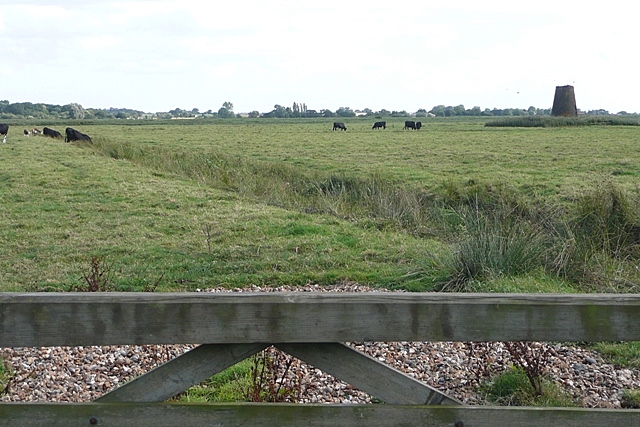
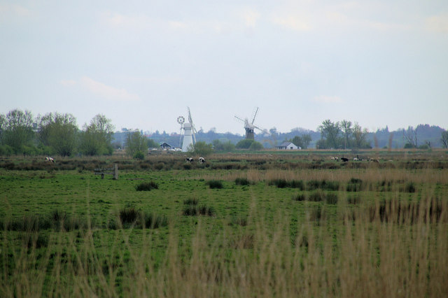
The village is known for its picturesque rural setting and is surrounded by scenic landscapes, including farmlands and marshes. The area is particularly popular with nature enthusiasts and birdwatchers due to its proximity to the Norfolk Broads, a network of rivers and lakes renowned for its diverse wildlife.
Repps boasts a rich history, with evidence of human habitation dating back to the Bronze Age. The village was mentioned in the Domesday Book of 1086, highlighting its long-standing significance. Throughout the years, Repps has been primarily an agricultural community, with farming playing a crucial role in the local economy.
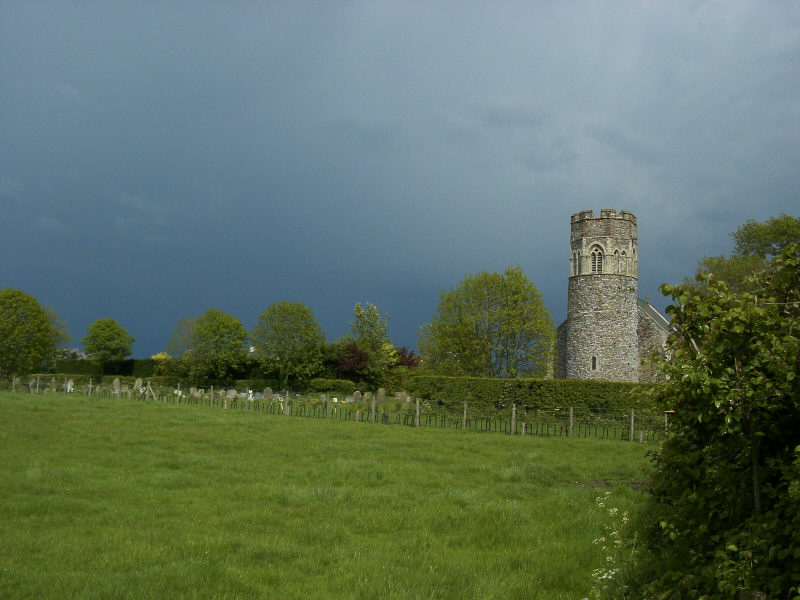
One of the notable landmarks in Repps is the St. Peter's Church, a Grade II listed building that dates back to the 13th century. The church is known for its beautiful architecture and serves as a focal point for religious and community activities.
Although small in size, Repps is well-connected to neighboring towns and villages, with good transport links available. The village offers a peaceful and tranquil setting, ideal for those seeking a quiet retreat in the heart of the Norfolk countryside.
If you have any feedback on the listing, please let us know in the comments section below.
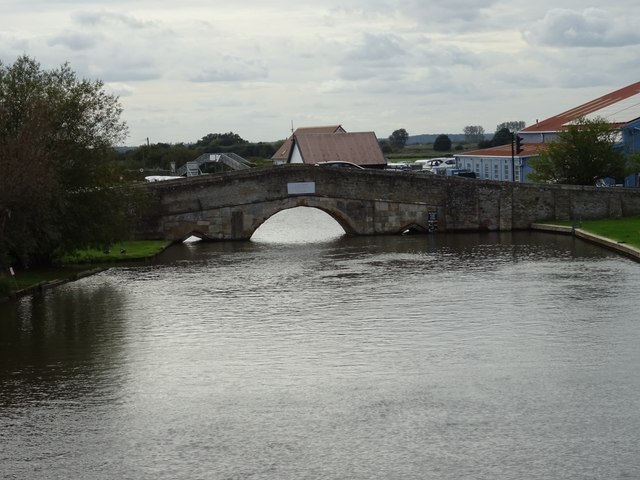
Repps Images
Images are sourced within 2km of 52.696058/1.580783 or Grid Reference TG4216. Thanks to Geograph Open Source API. All images are credited.


Repps is located at Grid Ref: TG4216 (Lat: 52.696058, Lng: 1.580783)
Administrative County: Norfolk
District: Great Yarmouth
Police Authority: Norfolk
What 3 Words
///signal.rewarding.hunk. Near Martham, Norfolk
Nearby Locations
Related Wikis
Repps with Bastwick
Repps with Bastwick is a civil parish in the English county of Norfolk. It comprises the adjacent villages of Bastwick and Repps, which are situated some...

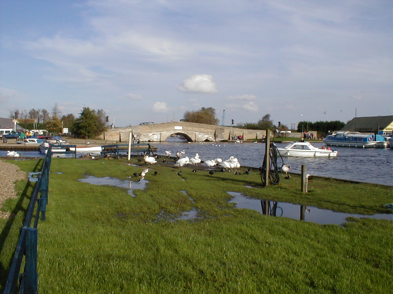
Potter Heigham Bridge Halt railway station
Potter Heigham Bridge Halt was a railway station on the Midland and Great Northern Joint Railway which was opened to serve the boating traffic on the River...
Ludham - Potter Heigham Marshes
Ludham - Potter Heigham Marshes is a 101.5-hectare (251-acre) biological Site of Special Scientific Interest north-east of Norwich in Norfolk. Part of...
Shallam Dyke Marshes, Thurne
Shallam Dyke Marshes, Thurne is a 69.8-hectare (172-acre) biological Site of Special Scientific Interest south-east of Norwich in Norfolk. It is part of...
Thurne
Thurne is a small village and civil parish in the English county of Norfolk. It is located on the River Thurne in The Broads, some 18 km (11 mi) west of...
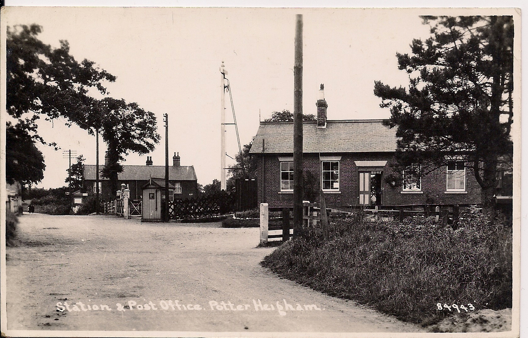
Potter Heigham railway station
Potter Heigham railway station was a railway station in Norfolk. It was on the line between Melton Constable and Great Yarmouth. It closed in 1959. In...
Ashby with Oby
Ashby with Oby is a civil parish in the English county of Norfolk, which is located some 5 km or 3 miles north of Acle and 15 km or 9 miles north-west...
Potter Heigham
Potter Heigham is a village and civil parish on the River Thurne in the English county of Norfolk. It is situated 12 mi (19 km) north-east of the city...
Nearby Amenities
Located within 500m of 52.696058,1.580783Have you been to Repps?
Leave your review of Repps below (or comments, questions and feedback).