Reighton

Settlement in Yorkshire Scarborough

England

Reighton

Entrance  to  Southfield  Farm  on  A165
Entrance to Southfield Farm on A165 Credit: Martin Dawes

Reighton is a small village located in the county of Yorkshire, England. Situated on the east coast, it is part of the East Riding of Yorkshire district. The village is nestled between the towns of Filey and Bridlington, offering residents and visitors easy access to the amenities provided by these larger settlements.

Reighton is renowned for its picturesque rural setting, with stunning views of the surrounding countryside and the nearby North Sea. The village is home to a tight-knit community, with a population of around 500 residents. The local economy is primarily supported by agriculture and tourism, with many visitors attracted to the area's natural beauty and tranquility.

In terms of amenities, Reighton offers a range of essential services for its residents, including a primary school, a village hall, and a local pub. For additional amenities, residents can easily access the nearby towns of Filey and Bridlington, which offer a wider variety of shops, restaurants, and entertainment options.

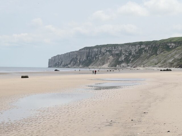
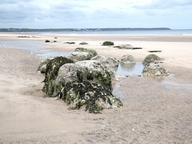
Nature lovers will find plenty to explore in Reighton and its surrounding areas. The village is located near the Flamborough Headland Heritage Coast, which boasts stunning cliffs, hidden coves, and diverse wildlife. Outdoor enthusiasts can enjoy activities such as hiking, cycling, and birdwatching in the nearby nature reserves and coastal areas.

Overall, Reighton is a charming village that offers a peaceful and idyllic lifestyle. With its beautiful natural surroundings and close proximity to larger towns, it provides a perfect balance between rural tranquility and access to modern amenities.

If you have any feedback on the listing, please let us know in the comments section below.
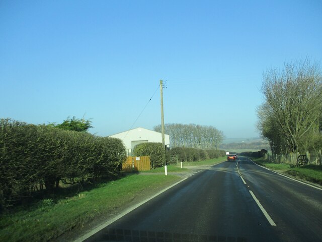
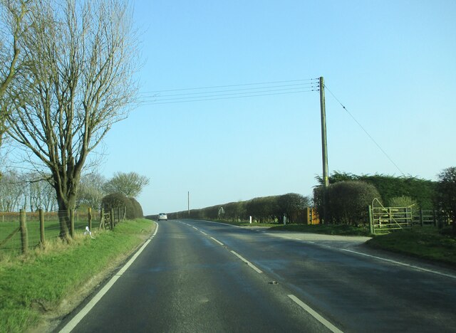
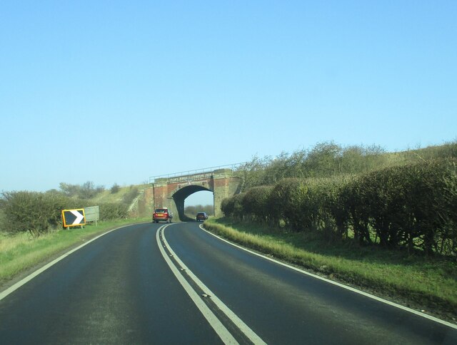
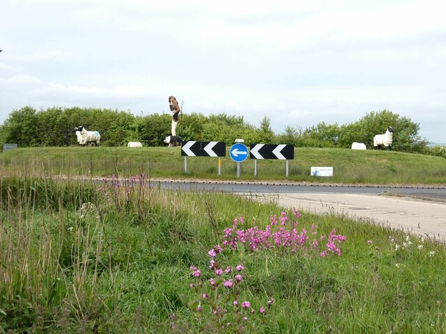
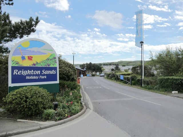
Reighton Images

Images are sourced within 2km of 54.158173/-0.26793 or Grid Reference TA1374. Thanks to Geograph Open Source API. All images are credited.

Entrance  to  Southfield  Farm  on  A165
Entrance to Southfield Farm on A165
Access  to  Southfield  Farm  on  the  right A165 going south toward Bridlington
Access to Southfield Farm on the right
A165 going south toward Bridlington
Hull  to  Scarborough  line  bridges  A165
Hull to Scarborough line bridges A165
The Dotterel Shepherd and his flock Sculptures on the roundabout at the junction of the B1229 with the A165.
The Dotterel Shepherd and his flock
Sculptures on the roundabout at the junction of the B1229 with the A165.
Strollers on Reighton Sands In the distance, the vertical face of the chalk Speeton Cliffs <a href="https://www.geograph.org.uk/gridref/TA1675">TA1675</a>.
Strollers on Reighton Sands
In the distance, the vertical face of the chalk Speeton Cliffs TA1675.
Strollers on Reighton Sands In the foreground the remains of some concrete wartime structure now a long way from the cliff from which it must have fallen. In the distance, the beach gives way to the vertical face of the chalk Speeton Cliffs <a href="https://www.geograph.org.uk/gridref/TA1675">TA1675</a>.
Strollers on Reighton Sands
In the foreground the remains of some concrete wartime structure now a long way from the cliff from which it must have fallen. In the distance, the beach gives way to the vertical face of the chalk Speeton Cliffs TA1675.
Reighton Sands In the foreground the remains of some concrete wartime structure now a long way from the cliff from which it must have fallen.
Reighton Sands
In the foreground the remains of some concrete wartime structure now a long way from the cliff from which it must have fallen.
Reighton Sands In the foreground the remains of some concrete wartime structure now a long way from the cliff from which it must have fallen. Filey Brigg <a href="https://www.geograph.org.uk/gridref/TA1381">TA1381</a> on the horizon.
Reighton Sands
In the foreground the remains of some concrete wartime structure now a long way from the cliff from which it must have fallen. Filey Brigg TA1381 on the horizon.
Entrance to Reighton Sands Huge holiday park on the clifftop.
Entrance to Reighton Sands
Huge holiday park on the clifftop.
A very precisely-defined speed limit In Reighton Sands Holiday Park.
A very precisely-defined speed limit
In Reighton Sands Holiday Park.
Waiting for a lift A tractor and trailer is available to convey holiday-makers at Reighton Sands Holiday Park down the steep bank to the beach.
Waiting for a lift
A tractor and trailer is available to convey holiday-makers at Reighton Sands Holiday Park down the steep bank to the beach.
The tractor bus at Reighton Sands Holiday Park A tractor and trailer is available to convey holiday-makers down (and up!) the steep bank to the beach.
The tractor bus at Reighton Sands Holiday Park
A tractor and trailer is available to convey holiday-makers down (and up!) the steep bank to the beach.
A curious artefact Part of some structure has slipped down the cliff onto the beach at Reighton Sands.
A curious artefact
Part of some structure has slipped down the cliff onto the beach at Reighton Sands.
Speeton Sands The "rocks"  are the remains of World War II anti-tank blocks installed on the beach.
Speeton Sands
The "rocks" are the remains of World War II anti-tank blocks installed on the beach.
End of the beach The beach at Speeton Sands runs out at the foot of the chalk cliffs in <a href="https://www.geograph.org.uk/gridref/TA1675">TA1675</a>.
End of the beach
The beach at Speeton Sands runs out at the foot of the chalk cliffs in TA1675.
Speeton Sands The "rocks"  are the remains of World War II anti-tank blocks installed on the beach.
Speeton Sands
The "rocks" are the remains of World War II anti-tank blocks installed on the beach.
Speeton Sands The "rocks"  are the remains of World War II anti-tank blocks installed on the beach. Filey Brigg <a href="https://www.geograph.org.uk/gridref/TA1381">TA1381</a> on the horizon.
Speeton Sands
The "rocks" are the remains of World War II anti-tank blocks installed on the beach. Filey Brigg TA1381 on the horizon.
Wreck of the "Laura" The Laura was an Austrian-owned ship carrying a cargo of coke from Newcastle to Trieste which went aground in November 1897. It proved impossible to refloat her, and her cargo was offloaded, and much of the vessel was cut up for scrap with just the boiler remaining visible at low tide.
Wreck of the "Laura"
The Laura was an Austrian-owned ship carrying a cargo of coke from Newcastle to Trieste which went aground in November 1897. It proved impossible to refloat her, and her cargo was offloaded, and much of the vessel was cut up for scrap with just the boiler remaining visible at low tide.
Show me another place!

Reighton is located at Grid Ref: TA1374 (Lat: 54.158173, Lng: -0.26793)

Division: East Riding

Administrative County: North Yorkshire

District: Scarborough

Police Authority: North Yorkshire

What 3 Words

///petty.glitter.grapevine. Near Grindale, East Yorkshire

Nearby Locations

West Fields Reighton

Related Wikis

Reighton

Reighton is a village and civil parish, in North Yorkshire, England. From the mediaeval era until the 19th century Reighton was part of Dickering Wapentake...

Speeton

Speeton is a village in the civil parish of Reighton, in North Yorkshire, England. It lies near the edge of the coastal cliffs midway between Filey and...

Speeton railway station

Speeton railway station served the villages of Speeton and Reighton in North Yorkshire, England. It was situated on the Yorkshire Coast Line from Scarborough...

RAF Hunmanby Moor

RAF Hunmanby Moor, (also known as RAF Filey), was a Royal Air Force training camp during the Second World War in Hunmanby, East Riding of Yorkshire, England...

Butlin's Filey

Filey Holiday Camp was a Butlin's holiday camp near Filey, North Yorkshire, England, built for Billy Butlin's holiday organisation. Construction of the...

Filey Holiday Camp railway station

Filey Holiday Camp railway station was a railway station built by the London and North Eastern Railway to serve Butlin's Filey Holiday Camp just south...

Hunmanby railway station

Hunmanby railway station serves the large village of Hunmanby in North Yorkshire, England. It is located on the Yorkshire Coast Line and is operated by...

Primrose Valley

Primrose Valley is a coastal village south of Filey, North Yorkshire, England. It was historically part of the East Riding of Yorkshire until 1974 and...

Nearby Amenities

Located within 500m of 54.158173,-0.26793
Pub
The Dotterel
Addr City: Filey
Addr Postcode: YO14 9RT
Addr Street: Hunmanby Road
Check Date: 2007-11-15
Lat/Long: 54.1550715/-0.2692536
tumulus
Historic: archaeological_site
Mineral: chalk
Source: OS 1:25k
Lat/Long: 54.1591937/-0.2661185
Post Box
Post Box Type: lamp
Ref: YO14 128
Royal Cypher: EIIR
Royal Cypher Wikidata: Q33102113
Lat/Long: 54.1591931/-0.2677712
Shepherd and Flock
Tourism: artwork
Lat/Long: 54.1544727/-0.2690746
Camera Direction: 310
Camera Mount: pole
Camera Type: fixed
Contact Webcam: https://www.northyorks.gov.uk/nycc_weather_cameras/cameras/5887?1675181425158
Man Made: surveillance
Surveillance: traffic
Surveillance Type: camera
Surveillance Zone: traffic
Lat/Long: 54.1544652/-0.2685181
The data included in this document is from www.openstreetmap.org. The data is made available under ODbL.

Have you been to Reighton?

Leave your review of Reighton below (or comments, questions and feedback).