West Fields

Downs, Moorland in Yorkshire Scarborough

England

West Fields

A165  over  Hazelwood  Flat  toward  Filey At the end of the fence on the right is the access road to Greenlands Farm
A165 over Hazelwood Flat toward Filey Credit: Martin Dawes

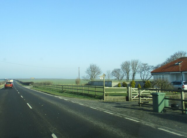
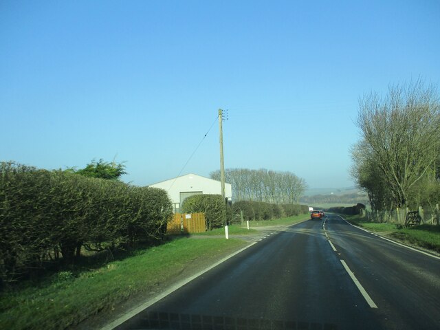
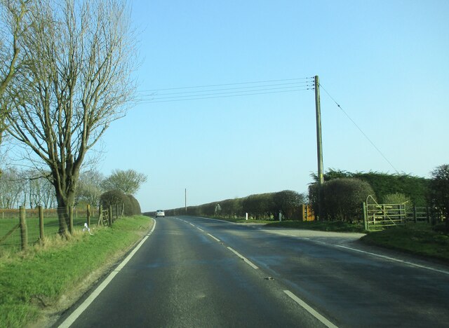
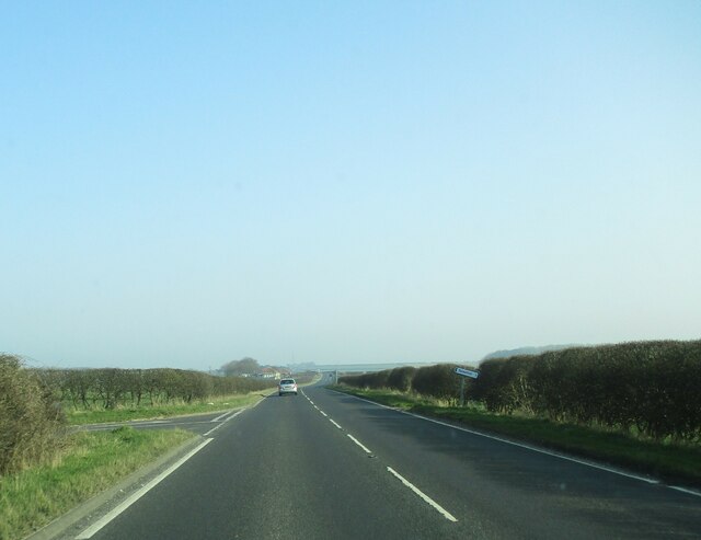
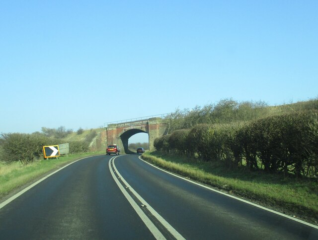
West Fields is a picturesque region located in Yorkshire, England, known for its stunning landscapes encompassing downs and moorland. This area is renowned for its natural beauty, attracting visitors from far and wide.

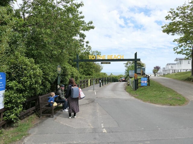
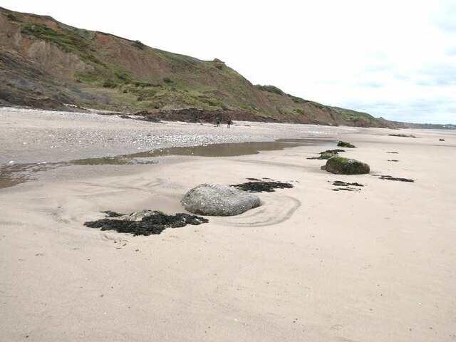
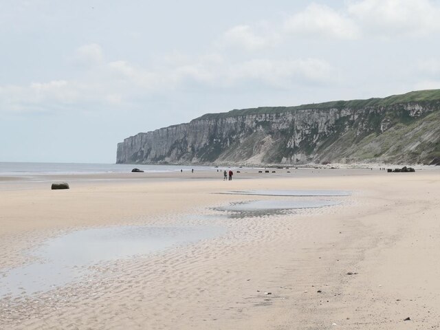
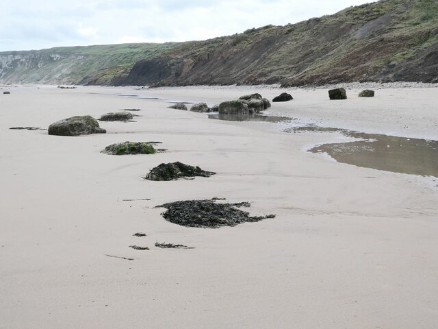
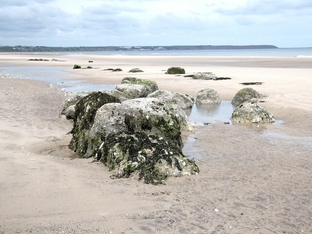
The downs of West Fields offer expansive grasslands with rolling hills and breathtaking views. These downs are characterized by their open spaces, making them ideal for outdoor activities such as hiking, picnicking, and birdwatching. The region boasts a diverse range of flora and fauna, including wildflowers and various species of birds, making it a haven for nature enthusiasts.

In addition to the downs, West Fields is also home to vast moorland areas. These moorlands are characterized by their rugged terrain, heather-covered hills, and peat bogs. Moorland walks are popular among visitors, providing an opportunity to explore the untamed beauty of the region. The moorland also supports a unique ecosystem, with rare species such as curlews, red grouse, and bilberry plants thriving in this environment.

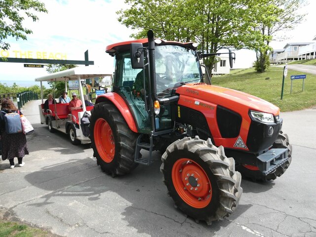
West Fields offers a tranquil escape from the hustle and bustle of city life, with its peaceful and serene surroundings. The region is dotted with charming villages that showcase traditional Yorkshire architecture and offer a glimpse into the local culture and way of life. Visitors can enjoy quaint tearooms, local pubs, and artisanal shops, providing a taste of authentic Yorkshire hospitality.

Overall, West Fields in Yorkshire is a nature lover's paradise, with its downs and moorland providing a diverse range of landscapes to explore. Whether it's a leisurely stroll through the grasslands or an adventurous hike through the rugged moors, West Fields offers a truly immersive experience in the heart of nature.

If you have any feedback on the listing, please let us know in the comments section below.
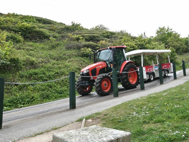
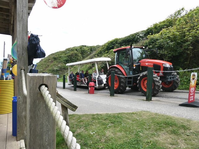
West Fields Images

Images are sourced within 2km of 54.151098/-0.2562083 or Grid Reference TA1374. Thanks to Geograph Open Source API. All images are credited.

A165  over  Hazelwood  Flat  toward  Filey At the end of the fence on the right is the access road to Greenlands Farm
A165 over Hazelwood Flat toward Filey
At the end of the fence on the right is the access road to Greenlands Farm
Entrance  to  Southfield  Farm  on  A165
Entrance to Southfield Farm on A165
Access  to  Southfield  Farm  on  the  right A165 going south toward Bridlington
Access to Southfield Farm on the right
A165 going south toward Bridlington
Junction  of  New  Road  and  A165 When it was a "New" road I dont know, but it goes in a straight line north to Speeton village
Junction of New Road and A165
When it was a "New" road I dont know, but it goes in a straight line north to Speeton village
Hull  to  Scarborough  line  bridges  A165
Hull to Scarborough line bridges A165
The Dotterel Shepherd and his flock Sculptures on the roundabout at the junction of the B1229 with the A165.
The Dotterel Shepherd and his flock
Sculptures on the roundabout at the junction of the B1229 with the A165.
Entrance to Reighton Sands Huge holiday park on the clifftop.
Entrance to Reighton Sands
Huge holiday park on the clifftop.
A very precisely-defined speed limit In Reighton Sands Holiday Park.
A very precisely-defined speed limit
In Reighton Sands Holiday Park.
Waiting for a lift A tractor and trailer is available to convey holiday-makers at Reighton Sands Holiday Park down the steep bank to the beach.
Waiting for a lift
A tractor and trailer is available to convey holiday-makers at Reighton Sands Holiday Park down the steep bank to the beach.
The tractor bus at Reighton Sands Holiday Park A tractor and trailer is available to convey holiday-makers down (and up!) the steep bank to the beach.
The tractor bus at Reighton Sands Holiday Park
A tractor and trailer is available to convey holiday-makers down (and up!) the steep bank to the beach.
A curious artefact Part of some structure has slipped down the cliff onto the beach at Reighton Sands.
A curious artefact
Part of some structure has slipped down the cliff onto the beach at Reighton Sands.
Speeton Sands The "rocks"  are the remains of World War II anti-tank blocks installed on the beach.
Speeton Sands
The "rocks" are the remains of World War II anti-tank blocks installed on the beach.
End of the beach The beach at Speeton Sands runs out at the foot of the chalk cliffs in <a href="https://www.geograph.org.uk/gridref/TA1675">TA1675</a>.
End of the beach
The beach at Speeton Sands runs out at the foot of the chalk cliffs in TA1675.
Speeton Sands The "rocks"  are the remains of World War II anti-tank blocks installed on the beach.
Speeton Sands
The "rocks" are the remains of World War II anti-tank blocks installed on the beach.
Speeton Sands The "rocks"  are the remains of World War II anti-tank blocks installed on the beach. Filey Brigg <a href="https://www.geograph.org.uk/gridref/TA1381">TA1381</a> on the horizon.
Speeton Sands
The "rocks" are the remains of World War II anti-tank blocks installed on the beach. Filey Brigg TA1381 on the horizon.
Wreck of the "Laura" The Laura was an Austrian-owned ship carrying a cargo of coke from Newcastle to Trieste which went aground in November 1897. It proved impossible to refloat her, and her cargo was offloaded, and much of the vessel was cut up for scrap with just the boiler remaining visible at low tide.
Wreck of the "Laura"
The Laura was an Austrian-owned ship carrying a cargo of coke from Newcastle to Trieste which went aground in November 1897. It proved impossible to refloat her, and her cargo was offloaded, and much of the vessel was cut up for scrap with just the boiler remaining visible at low tide.
The tractor bus at Reighton Sands A tractor and trailer is available to convey holiday-makers on the steep bank to the beach. It often travels down empty (as here), but does a lot of business on the way up!
The tractor bus at Reighton Sands
A tractor and trailer is available to convey holiday-makers on the steep bank to the beach. It often travels down empty (as here), but does a lot of business on the way up!
The tractor bus at Reighton Sands A tractor and trailer is available to convey holiday-makers on the steep bank to the beach. It often travels down empty, but (as here) does a lot of business on the way up!
The tractor bus at Reighton Sands
A tractor and trailer is available to convey holiday-makers on the steep bank to the beach. It often travels down empty, but (as here) does a lot of business on the way up!
Show me another place!

West Fields is located at Grid Ref: TA1374 (Lat: 54.151098, Lng: -0.2562083)

Division: East Riding

Administrative County: North Yorkshire

District: Scarborough

Police Authority: North Yorkshire

What 3 Words

///musically.decently.buzzer. Near Grindale, East Yorkshire

Nearby Locations

West Fields Reighton

Related Wikis

Speeton railway station

Speeton railway station served the villages of Speeton and Reighton in North Yorkshire, England. It was situated on the Yorkshire Coast Line from Scarborough...
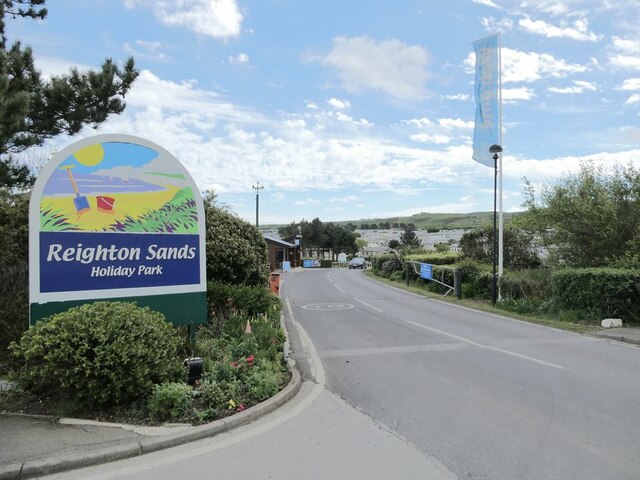
Speeton

Speeton is a village in the civil parish of Reighton, in North Yorkshire, England. It lies near the edge of the coastal cliffs midway between Filey and...

Reighton

Reighton is a village and civil parish, in North Yorkshire, England. From the mediaeval era until the 19th century Reighton was part of Dickering Wapentake...

Grindale

Grindale is a village and civil parish in the East Riding of Yorkshire, England. It is situated approximately 4 miles (6 km) north-west of Bridlington...

RAF Hunmanby Moor

RAF Hunmanby Moor, (also known as RAF Filey), was a Royal Air Force training camp during the Second World War in Hunmanby, East Riding of Yorkshire, England...

Butlin's Filey

Filey Holiday Camp was a Butlin's holiday camp near Filey, North Yorkshire, England, built for Billy Butlin's holiday organisation. Construction of the...

Argam

Argam, or Argham (sometimes Ergam, or Ergham), was a civil parish and village in the East Riding of Yorkshire, England. The site is listed in many historical...

Filey Holiday Camp railway station

Filey Holiday Camp railway station was a railway station built by the London and North Eastern Railway to serve Butlin's Filey Holiday Camp just south...

Have you been to West Fields?

Leave your review of West Fields below (or comments, questions and feedback).