Reed End

Settlement in Hertfordshire North Hertfordshire

England

Reed End

Therfield Chapel Well that's it really.......Therfield Chapel.
Therfield Chapel Credit: Robin Hall

Reed End is a small village located in the county of Hertfordshire, England. Situated in the East Hertfordshire district, it is positioned approximately 2 miles northeast of the town of Hertford. Reed End is nestled in a rural area surrounded by picturesque countryside, offering residents a tranquil and idyllic setting.

The village is primarily residential, with a small population of around 300 people. It consists of a mix of traditional and modern houses, many of which boast stunning views of the surrounding landscape. Reed End is known for its tight-knit community, where residents take pride in maintaining the village's charm and character.

In terms of amenities, Reed End offers limited facilities within the village itself. However, the nearby town of Hertford provides a wider range of services, including shops, supermarkets, schools, and healthcare facilities. The village is well-connected to the surrounding areas via road networks, with easy access to major routes such as the A414 and A10.

Reed End benefits from its proximity to the beautiful Hertfordshire countryside, making it an ideal location for nature enthusiasts and outdoor activities. The village is surrounded by rolling fields, woodlands, and scenic walking trails, providing ample opportunities for exploration and enjoying the great outdoors.

Overall, Reed End offers a peaceful and charming living environment, combining the tranquility of rural living with the convenience of nearby town amenities. Its scenic surroundings and close-knit community make it an attractive place to reside for those seeking a quieter pace of life in the heart of Hertfordshire.

If you have any feedback on the listing, please let us know in the comments section below.
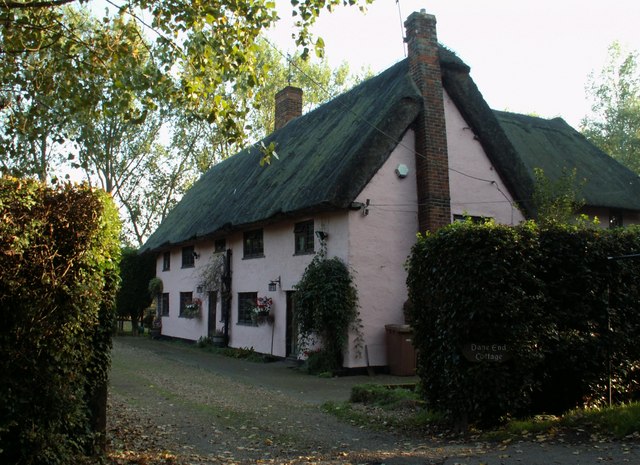
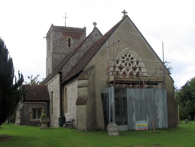
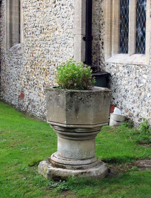
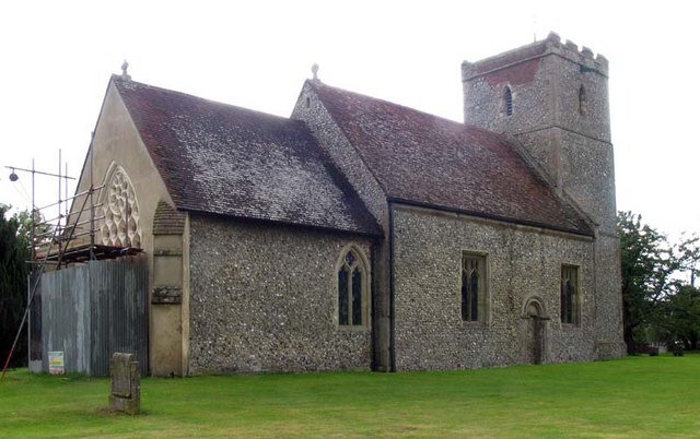
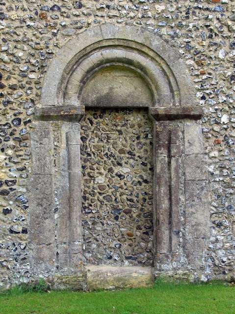
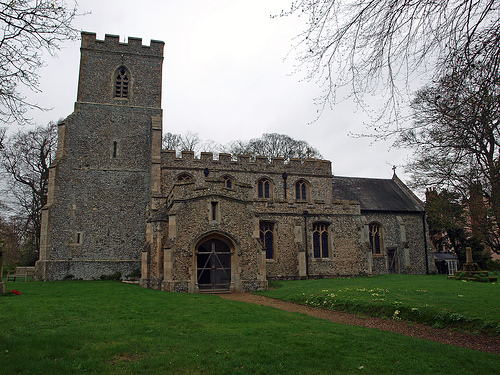
Reed End Images

Images are sourced within 2km of 52.009533/-0.031827 or Grid Reference TL3536. Thanks to Geograph Open Source API. All images are credited.

Therfield Chapel Well that's it really.......Therfield Chapel.
Therfield Chapel
Well that's it really.......Therfield Chapel.
St Mary's, Reed Reed is a small village just off the rural single carriageway part of the A10. The Church is a small affair set some way from the village in a very peaceful location.
St Mary's, Reed
Reed is a small village just off the rural single carriageway part of the A10. The Church is a small affair set some way from the village in a very peaceful location.
Dane End Cottage, close to Dane End, Herts. It looks like this was originally two cottages.
Dane End Cottage, close to Dane End, Herts.
It looks like this was originally two cottages.
Holborn Farm, near to Reed End, Herts.
St Mary, Reed, Herts
St Mary, Reed, Herts - Redundant font
St Mary, Reed, Herts - Under repair
St Mary, Reed, Herts - Blocked doorway
St Mary, Reed, Herts - Holy water stoup in porch
St Mary, Reed, Herts - Rood stairs
St Mary, Reed, Herts - East end
St Mary, Therfield, Herts
St Mary, Therfield, Herts - East end
St Mary, Therfield, Herts - Font
St Mary, Therfield, Herts - Organ
Show me another place!

Reed End is located at Grid Ref: TL3536 (Lat: 52.009533, Lng: -0.031827)

Administrative County: Hertfordshire

District: North Hertfordshire

Police Authority: Hertfordshire

What 3 Words

///mediate.term.diver. Near Royston, Hertfordshire

Related Wikis

Reed, Hertfordshire

Reed is a small village and civil parish in North Hertfordshire. It is situated on a chalk ridge, approximately 3 miles (4.8 km) south of the market town...

Hawkins Wood

Hawkins Wood is a 10 hectare nature reserve south of Therfield in Hertfordshire. It is managed by the Herts and Middlesex Wildlife Trust.The wood is thought...
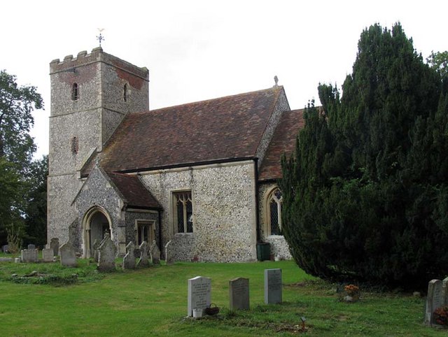
Therfield

Therfield is both a small village of approximately 4,761 acres (19 kmĀ²) and a civil parish which sits upon the chalk range, three miles southwest of Royston...

Kelshall

Kelshall is a small village in North East Hertfordshire, England. It is near the town of Royston. It has a village hall and the local church is St Faith...

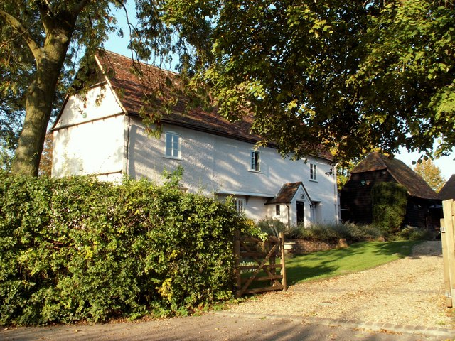
Mile End Farm Mill, Reed

Mile End Farm Mill is a tower mill at Reed, Hertfordshire, England which has been truncated and converted to residential accommodation. == History == The...

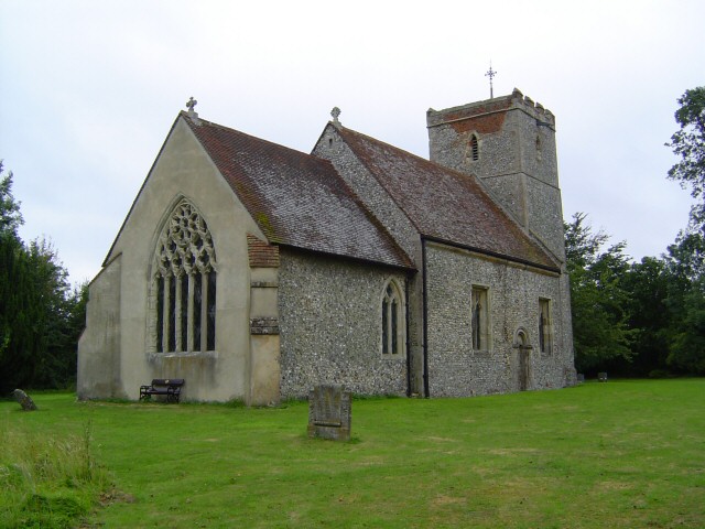
St Andrew's Church, Buckland

St Andrew's Church is a redundant Anglican church in the village of Buckland, Hertfordshire, England. It is recorded in the National Heritage List for...

RAF Barkway

Royal Air Force Barkway or more simply RAF Barkway was one of the smallest Royal Air Force stations in the United Kingdom. It was a Communications Station...

Barkway Chalk Pit

Barkway Chalk Pit is a small (0.3 hectare) nature reserve in Barkway in North Hertfordshire. It was managed by the Herts and Middlesex Wildlife Trust...

Nearby Amenities

Located within 500m of 52.009533,-0.031827
Bus Stop
Silver Ball Cafe
Bench: no
Bin: no
Bus: yes
Lit: no
Naptan AtcoCode: 210021118000
Naptan Bearing: N
Naptan BusStopType: CUS
Naptan CommonName: Silver Ball Cafe
Naptan Crossing: opp Blacksmith's Lane
Naptan Indicator: o/s
Naptan Landmark: opp Blacksmith's Lane
Naptan NaptanCode: hrtgawjp
Naptan ShortCommonName: NA
Naptan Street: Ermine Street
Naptan Verified: no
Public Transport: platform
Shelter: no
Source: naptan_import
Tactile Paving: no
Lat/Long: 52.0090796/-0.0245641
Cafe
The Silver Ball
Addr Postcode: SG8 8BD
Cost Tea: unknown
Fixme: Some opening times might be nice...and an address? How about the cost of a tea?
Opening Hours: unknown
Phone: +44 1763848200
Lat/Long: 52.0089916/-0.0248074
Power: pole
Ref: WPA 47
Source: Bing
Source Ref: interpolation
Lat/Long: 52.0071025/-0.0304
Material: wood
Power: pole
Ref: WPA 50
Source Position: Bing
Lat/Long: 52.0100909/-0.0286888
Power: pole
Ref: WPA 46
Source: Bing
Source Ref: interpolation
Lat/Long: 52.0063727/-0.0315158
Power: pole
Ref: WPA 49
Source: Bing
Source Ref: interpolation
Lat/Long: 52.0091498/-0.0288926
Design: h-frame
Power: tower
Ref: WPA 48
Source: Bing
Source Ref: interpolation
Tower Type: anchor
Lat/Long: 52.0078884/-0.029177
Power: pole
Ref: WPA 45
Source: Bing
Source Ref: interpolation
Lat/Long: 52.0057222/-0.0326209
Power: pole
Source: Bing
Lat/Long: 52.0122238/-0.0264679
Power: pole
Source: Bing
Lat/Long: 52.0115569/-0.0276106
Design: h-frame
Line Attachment: anchor
Power: tower
Source: Bing
Lat/Long: 52.0110286/-0.0284742
Post Box
Ref: SG8 369
Lat/Long: 52.0095658/-0.0245316
Parking
Access: customers
Parking: surface
Lat/Long: 52.008821/-0.0251219
Power: pole
Lat/Long: 52.007256/-0.0353784
Power: pole
Lat/Long: 52.0079577/-0.0357164
Power: pole
Lat/Long: 52.0065001/-0.0357995
Power: pole
Lat/Long: 52.0083889/-0.0383825
Power: pole
Lat/Long: 52.0085045/-0.0372774
Power: pole
Lat/Long: 52.0086497/-0.0360409
Power: pole
Lat/Long: 52.0093184/-0.0363681
Shop: car_repair
Lat/Long: 52.0091723/-0.0247416
Man Made: tower
Tower Type: communication
Lat/Long: 52.0097245/-0.0260003
The data included in this document is from www.openstreetmap.org. The data is made available under ODbL.

Have you been to Reed End?

Leave your review of Reed End below (or comments, questions and feedback).