Black Muir

Settlement in Fife

Scotland

Black Muir

Rumblingwell
Rumblingwell Credit: Richard Webb

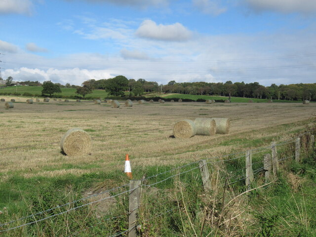
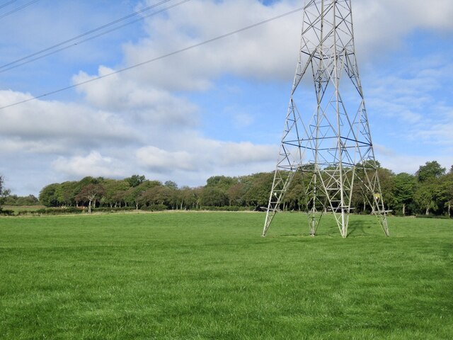
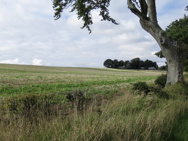
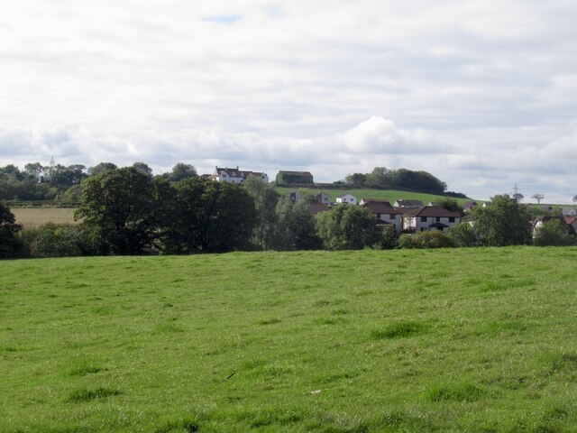
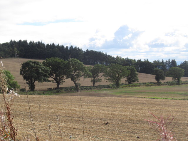
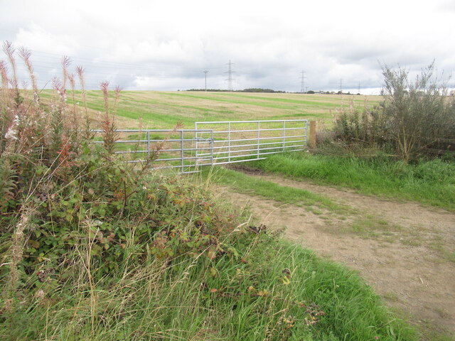
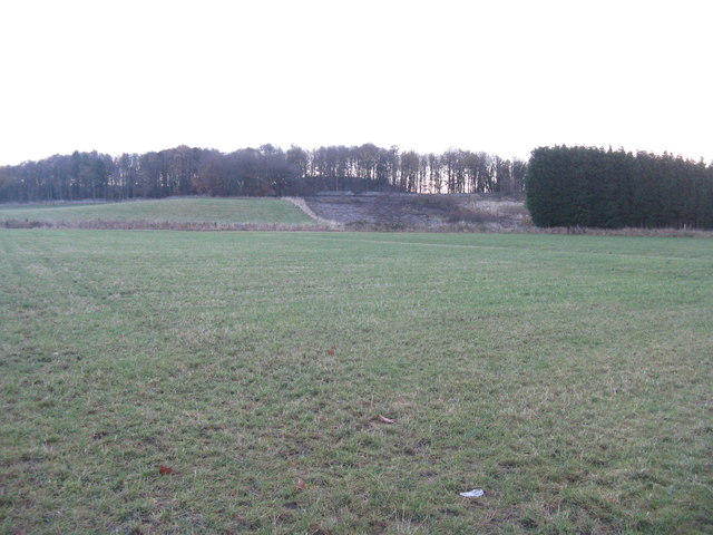
Black Muir is a small village located in the county of Fife, Scotland. Situated approximately 3 miles south-west of the town of Dunfermline, it lies amidst picturesque rolling farmland and offers a tranquil rural setting. The village is nestled in the heart of Fife's countryside, providing residents with stunning views of the surrounding hills and fields.

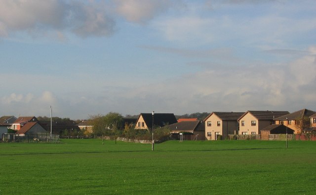
Historically, Black Muir was primarily an agricultural community, with farming activities being the backbone of its economy. However, in recent years, the village has seen a shift towards a more residential focus. Many of the original farmhouses and cottages have been converted into comfortable homes, attracting families and individuals seeking a peaceful countryside lifestyle.

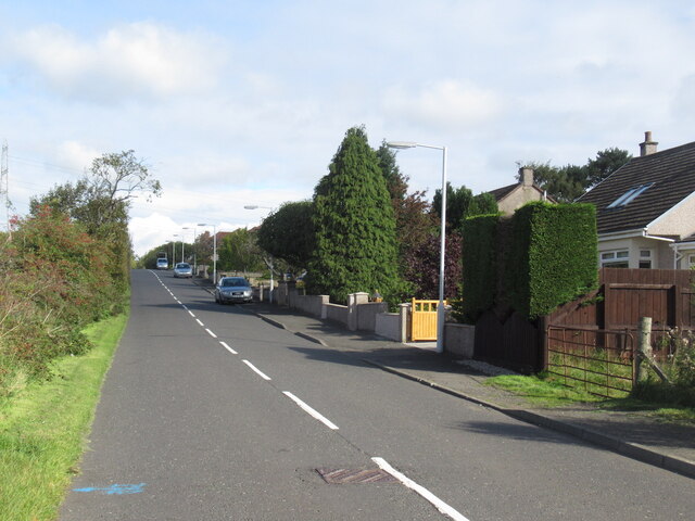
Despite its small size, Black Muir benefits from its proximity to nearby amenities. The town of Dunfermline, with its wide range of shops, restaurants, and schools, is within easy reach. Additionally, the village is well-connected to major road networks, making it convenient for commuters who work in nearby towns and cities.

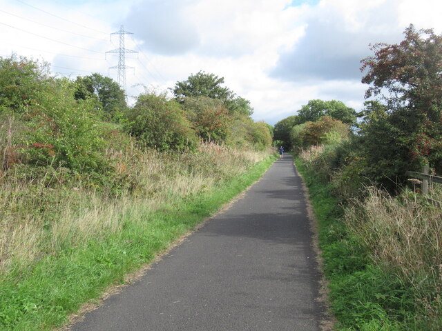
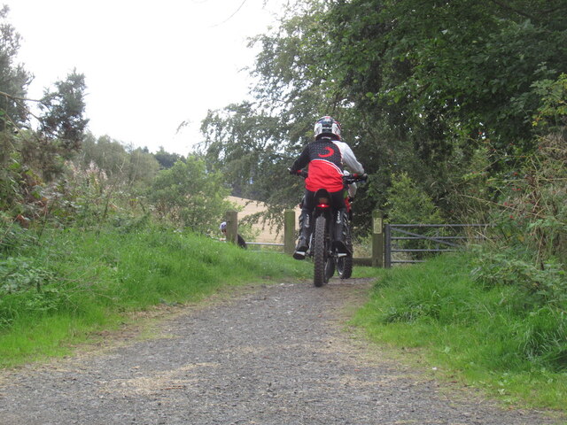
The natural beauty of Black Muir and its surrounding countryside provides ample opportunities for outdoor activities. Residents and visitors can explore the numerous walking and cycling trails that wind through the lush green fields and woodlands. The nearby Loch Fitty is also a popular spot for fishing enthusiasts.

With its tranquil setting, scenic landscapes, and close-knit community, Black Muir offers a charming escape from the bustle of urban life while still providing convenient access to local amenities.

If you have any feedback on the listing, please let us know in the comments section below.

Black Muir Images

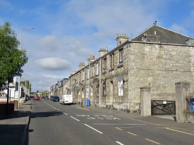
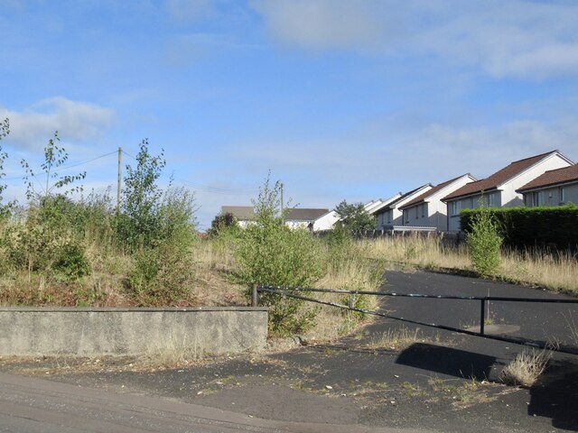
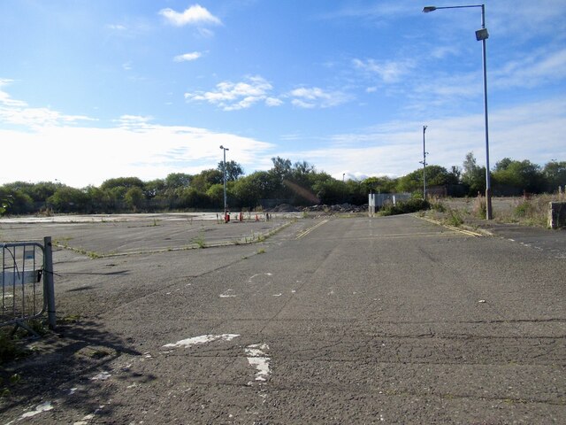
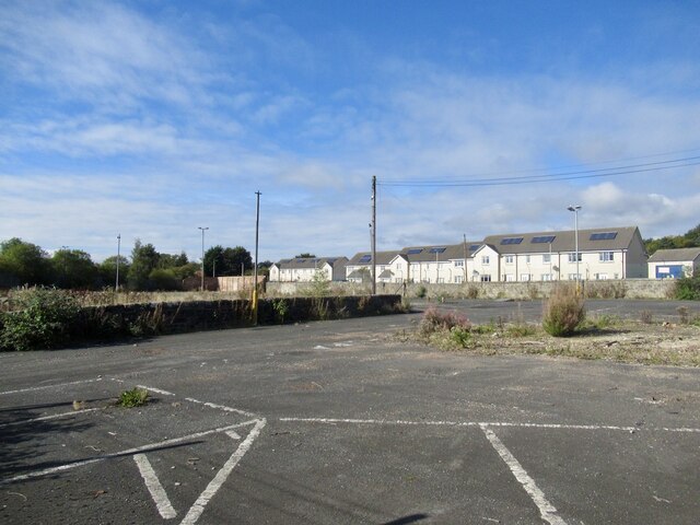
Images are sourced within 2km of 56.075547/-3.5117385 or Grid Reference NT0688. Thanks to Geograph Open Source API. All images are credited.

Rumblingwell
Rumblingwell
Abbey Cars site, Rumblingwell The car showroom has been demolished and the plot is for sale.
Abbey Cars site, Rumblingwell
The car showroom has been demolished and the plot is for sale.
Former Fife Council Depot, Rumblingwell
Round bales, Milesmark
Craigluscar Road, Milesmark
Pylon, Milesmark
Pylon, Milesmark
Stubble, East Luscar
Field near Carnock
Field near Carnock
Rails to trails by Carnock The Dunfermline to Alloa railway trackbed is a long established cycle path.
Rails to trails by Carnock
The Dunfermline to Alloa railway trackbed is a long established cycle path.
Stubble and Dean Plantation View from the old railway trackbed.
Stubble and Dean Plantation
View from the old railway trackbed.
Motor bikes, Dunfermline to Clackmannan cycle path A constant problem keeping a refuge like a cycle and walking path free from motorised traffic. The pests have had a resurgence due to cheaper electric bikes (proper motorbikes, not assisted pedalling).
The path was busy today with families and lots of young children.
Motor bikes, Dunfermline to Clackmannan cycle path
A constant problem keeping a refuge like a cycle and walking path free from motorised traffic. The pests have had a resurgence due to cheaper electric bikes (proper motorbikes, not assisted pedalling). The path was busy today with families and lots of young children.
Stubble, East Cairns Access from the railway trackbed.
Stubble, East Cairns
Access from the railway trackbed.
Crossford Along the A994.
Crossford
Along the A994.
Pasture at Crossford Looking east to Walk Plantation.
Pasture at Crossford
Looking east to Walk Plantation.
Cairneyhill Primary and Community School Looking west from Pitdinnie Road.
Cairneyhill Primary and Community School
Looking west from Pitdinnie Road.
Dunfermline Golf Club Autumn trees from the road to the clubhouse.
Dunfermline Golf Club
Autumn trees from the road to the clubhouse.
Pitfirrane The home of the Halkett family since the 15th.C, but now the home of Dunfermline Golf Club since 1953. It was extended in the 19th.C, but the extension was in disrepair and later demolished.
Pitfirrane
The home of the Halkett family since the 15th.C, but now the home of Dunfermline Golf Club since 1953. It was extended in the 19th.C, but the extension was in disrepair and later demolished.
Show me another place!

Black Muir is located at Grid Ref: NT0688 (Lat: 56.075547, Lng: -3.5117385)

Unitary Authority: Fife

Police Authority: Fife

What 3 Words

///scarecrow.unzipped.pools. Near Crossford, Fife

Related Wikis

Gowkhall

Gowkhall (for a period known as Balclune) is a hamlet in Fife Scotland, 3.6 miles (5.794 km) west of Dunfermline. The nearest village of size is Carnock...

Crossford, Fife

Crossford is a small village located in West Fife, Scotland. Its population was 2,358 in 2011. It is 1 mile (1.6 kilometers) west of the city Dunfermline...

Carnock

Carnock (Scottish Gaelic: A' Chàrnaich) is a village and parish of Fife, Scotland, 4+1⁄4 miles (7 kilometres) west of Dunfermline. It is 1+1⁄4 miles (2...

Cairneyhill

Cairneyhill is a village in West Fife, Scotland. It is 3 miles west of Dunfermline, on the A994, and has a population of around 2,510 (mid-2020 est.)The...

Nearby Amenities

Located within 500m of 56.075547,-3.5117385
Ford: yes
Lat/Long: 56.0726126/-3.5133317
Power: pole
Lat/Long: 56.0787729/-3.5069255
Power: pole
Lat/Long: 56.0783481/-3.5069029
Material: wood
Power: pole
Lat/Long: 56.0795662/-3.5084353
Material: wood
Power: pole
Lat/Long: 56.0795078/-3.5098775
Material: wood
Power: pole
Lat/Long: 56.0794563/-3.5112902
Material: wood
Power: pole
Lat/Long: 56.0794014/-3.5128049
Material: wood
Power: pole
Lat/Long: 56.0793475/-3.5142368
Material: wood
Power: pole
Lat/Long: 56.0792937/-3.5156872
Power: pole
Lat/Long: 56.0790522/-3.5096744
Power: pole
Lat/Long: 56.0786916/-3.5094282
Power: pole
Lat/Long: 56.0783161/-3.509178
Power: pole
Lat/Long: 56.0779852/-3.5089564
Power: pole
Lat/Long: 56.077999/-3.5081748
Power: pole
Lat/Long: 56.0780173/-3.507344
Power: pole
Lat/Long: 56.0780287/-3.5068927
Power: pole
Lat/Long: 56.0772857/-3.5062116
Power: pole
Lat/Long: 56.076774/-3.5056146
Power: pole
Lat/Long: 56.0760985/-3.505629
Power: pole
Lat/Long: 56.0753898/-3.5056597
Power: pole
Lat/Long: 56.0746708/-3.5056946
Power: pole
Lat/Long: 56.0739724/-3.5057274
Power: pole
Lat/Long: 56.0737468/-3.5071532
Power: pole
Lat/Long: 56.07359/-3.5081502
Power: pole
Lat/Long: 56.0728721/-3.5078014
Power: pole
Lat/Long: 56.0721805/-3.5074712
Power: pole
Lat/Long: 56.0772067/-3.505313
Power: pole
Lat/Long: 56.0770281/-3.5041314
Ford: yes
Lat/Long: 56.0729768/-3.5127938
Ford: yes
Lat/Long: 56.0731749/-3.5123367
Ford: yes
Lat/Long: 56.0734741/-3.5117831
Bench
Backrest: no
Material: wood
Lat/Long: 56.0793923/-3.5142898
Generator Method: photovoltaic
Generator Output Electricity: yes
Generator Source: solar
Generator Type: solar_photovoltaic_panel
Power: generator
Lat/Long: 56.0769307/-3.5042457
The data included in this document is from www.openstreetmap.org. The data is made available under ODbL.

Have you been to Black Muir?

Leave your review of Black Muir below (or comments, questions and feedback).