Milesmark
Settlement in Fife
Scotland
Milesmark
Milesmark is a small village located in the region of Fife, Scotland. Situated about 2 miles south of Dunfermline, it is part of the larger community council area of Halbeath and Crossgates. The village is well-connected to nearby towns and cities, with the M90 motorway passing through it, providing easy access to Edinburgh and Perth.
The origins of Milesmark can be traced back to the 19th century when it was primarily an agricultural settlement. Over time, the village has witnessed some development, but it has retained its rural charm. Today, it serves as a residential area, offering a peaceful and tranquil environment for its residents.
Although Milesmark is relatively small, it benefits from several amenities and services in the surrounding areas. Within a short distance, residents can find supermarkets, shops, and leisure facilities. Additionally, the nearby town of Dunfermline offers a wider range of amenities, including schools, healthcare facilities, and a variety of shopping and entertainment options.
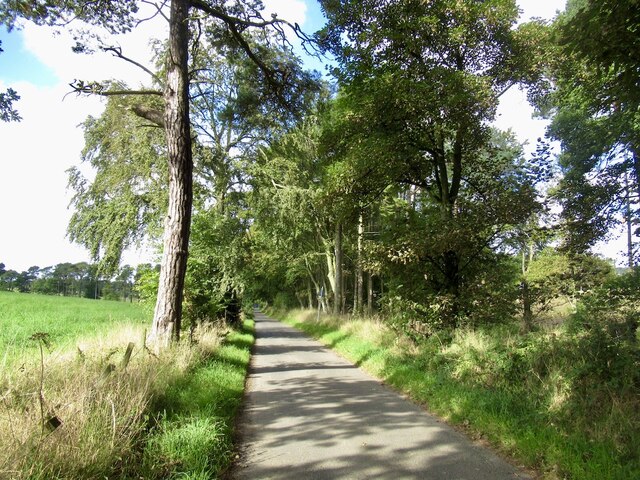
The village's location is also ideal for nature lovers, as it is surrounded by picturesque countryside. There are opportunities for outdoor activities such as hiking, cycling, and fishing in the nearby Loch Fitty. Furthermore, residents can enjoy the beautiful views of the surrounding hills and farmland.
Overall, Milesmark offers a peaceful residential setting with convenient access to larger towns and cities. Its combination of rural charm and access to amenities makes it an attractive place to live for those seeking a balance between tranquility and convenience.
If you have any feedback on the listing, please let us know in the comments section below.
Milesmark Images
Images are sourced within 2km of 56.084679/-3.499324 or Grid Reference NT0688. Thanks to Geograph Open Source API. All images are credited.
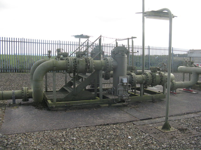
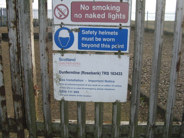
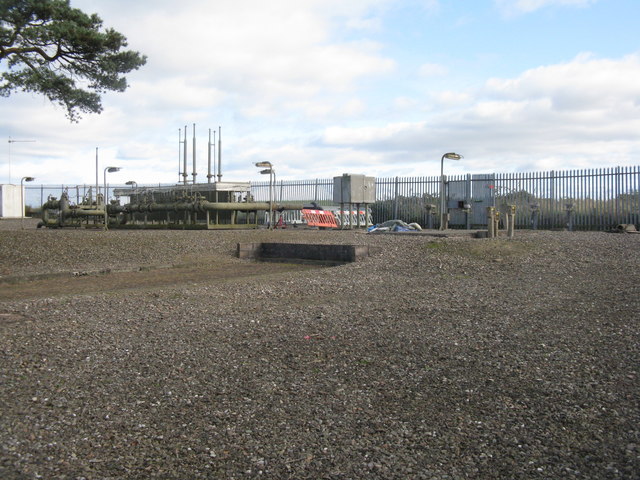
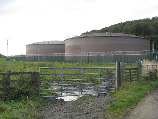
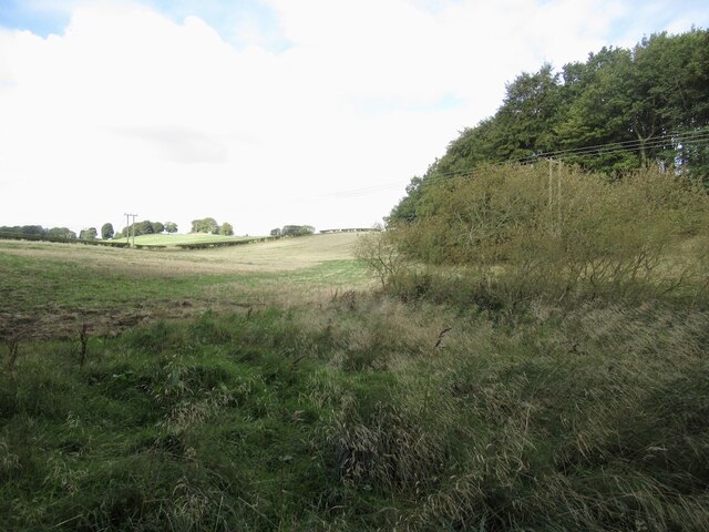
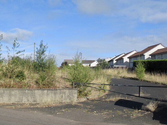
![Farmland near Craigluscar The enclosure contains the Dunfermline [Rosebank] gas installation.](https://s0.geograph.org.uk/geophotos/06/28/62/6286268_89792b4f.jpg)

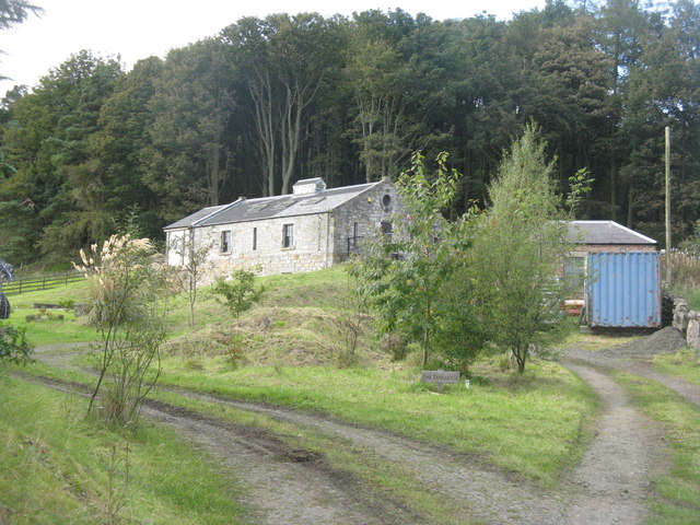
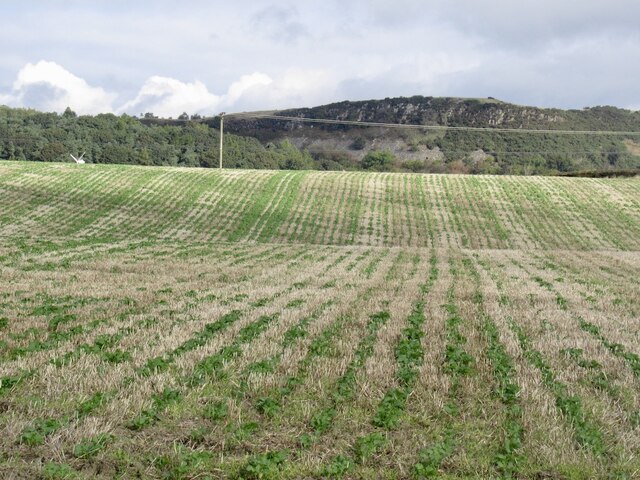
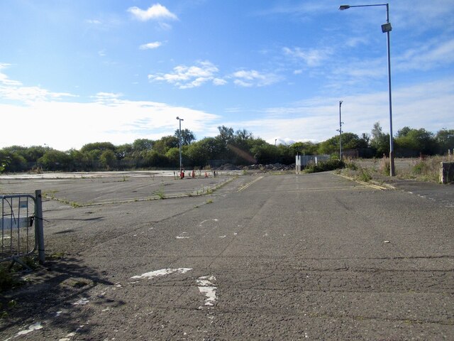
![Lochead Landfill Site A large area [ca 50ha] of old workings.](https://s2.geograph.org.uk/geophotos/06/28/63/6286314_47203e80.jpg)
Milesmark is located at Grid Ref: NT0688 (Lat: 56.084679, Lng: -3.499324)
Unitary Authority: Fife
Police Authority: Fife
What 3 Words
///artist.dare.lock. Near Crossford, Fife
Nearby Locations
Related Wikis

Gowkhall
Gowkhall (for a period known as Balclune) is a hamlet in Fife Scotland, 3.6 miles (5.794 km) west of Dunfermline. The nearest village of size is Carnock...

McLean Primary School
McLean Primary School is located in the centre of Dunfermline, Fife. The head teacher is Gillian Souter Pupils from the school progress onto Queen Anne...

Queen Anne High School, Dunfermline
Queen Anne High School is a large secondary school in the city of Dunfermline in Fife. It is named for Anne of Denmark, the queen of James VI, whose former...

Carnock
Carnock (Scottish Gaelic: A' Chàrnaich) is a village and parish of Fife, Scotland, 4+1⁄4 miles (7 kilometres) west of Dunfermline. It is 1+1⁄4 miles (2...
Nearby Amenities
Located within 500m of 56.084679,-3.499324Have you been to Milesmark?
Leave your review of Milesmark below (or comments, questions and feedback).