Redbridge
Settlement in Essex
England
Redbridge

Redbridge is a suburban district located in the county of Essex, England. Situated in the northeast part of Greater London, it is bordered by the London Boroughs of Waltham Forest, Barking and Dagenham, and Newham. Redbridge covers an area of approximately 21 square miles and has a population of around 300,000 people.
The district is known for its diverse population, with a mix of different cultures and ethnicities, contributing to a vibrant and multicultural atmosphere. Redbridge is characterized by its largely residential nature, with a variety of housing options ranging from Victorian and Edwardian homes to modern developments.
Redbridge offers a range of amenities and facilities for its residents. The area is well-served by several shopping centers, including the Exchange Ilford, which is the largest shopping mall in the borough. The district also boasts numerous parks and green spaces, such as Valentines Park and Hainault Forest Country Park, providing opportunities for outdoor activities and leisure.
Transportation in Redbridge is convenient, with several London Underground stations serving the area, including Gants Hill, Redbridge, and Wanstead. Additionally, the district is well-connected by bus routes and has good road links, including the A12 and A406 North Circular Road.
Redbridge is home to a number of notable landmarks and attractions, including the Valentines Mansion, an 18th-century country house set within a picturesque park, and the Redbridge Museum, which showcases the rich history and heritage of the area.
Overall, Redbridge offers a pleasant suburban environment with a diverse population, a range of amenities, and excellent transport links, making it an attractive place to live and visit.
If you have any feedback on the listing, please let us know in the comments section below.
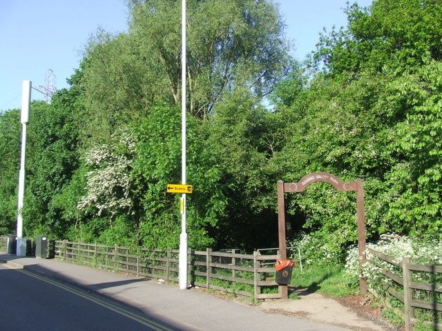
Redbridge Images
Images are sourced within 2km of 51.577502/0.049483 or Grid Reference TQ4288. Thanks to Geograph Open Source API. All images are credited.


Redbridge is located at Grid Ref: TQ4288 (Lat: 51.577502, Lng: 0.049483)
Unitary Authority: Redbridge
Police Authority: Metropolitan
What 3 Words
///monks.grant.loose. Near Ilford, London
Nearby Locations
Related Wikis

Redbridge, London
Redbridge is an area of Ilford in East London, England. It gives its name to (and is part of) the London Borough of Redbridge, a local government district...
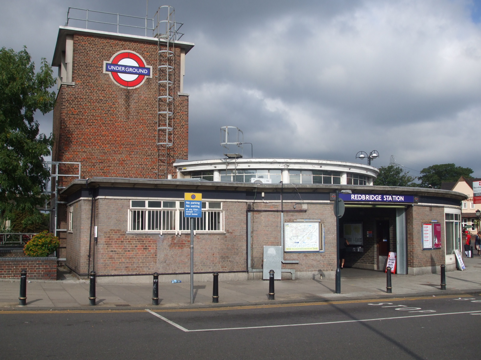
Redbridge tube station
Redbridge is a London Underground station on Eastern Avenue in the Redbridge district of Ilford in North East London, on the Hainault Loop of the Central...
Frenford F.C.
Frenford Football Club is a football club based in Ilford, London, England. Based at the Jack Carter Centre, they are currently members of the Essex Senior...
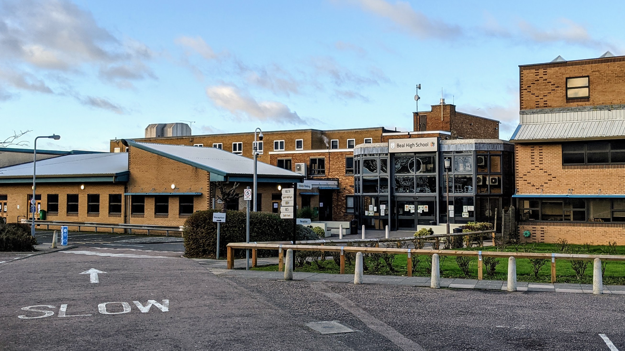
Beal High School
Beal High School is a coeducational secondary school and sixth form with academy status, located in Redbridge, Greater London, England. The school begins...
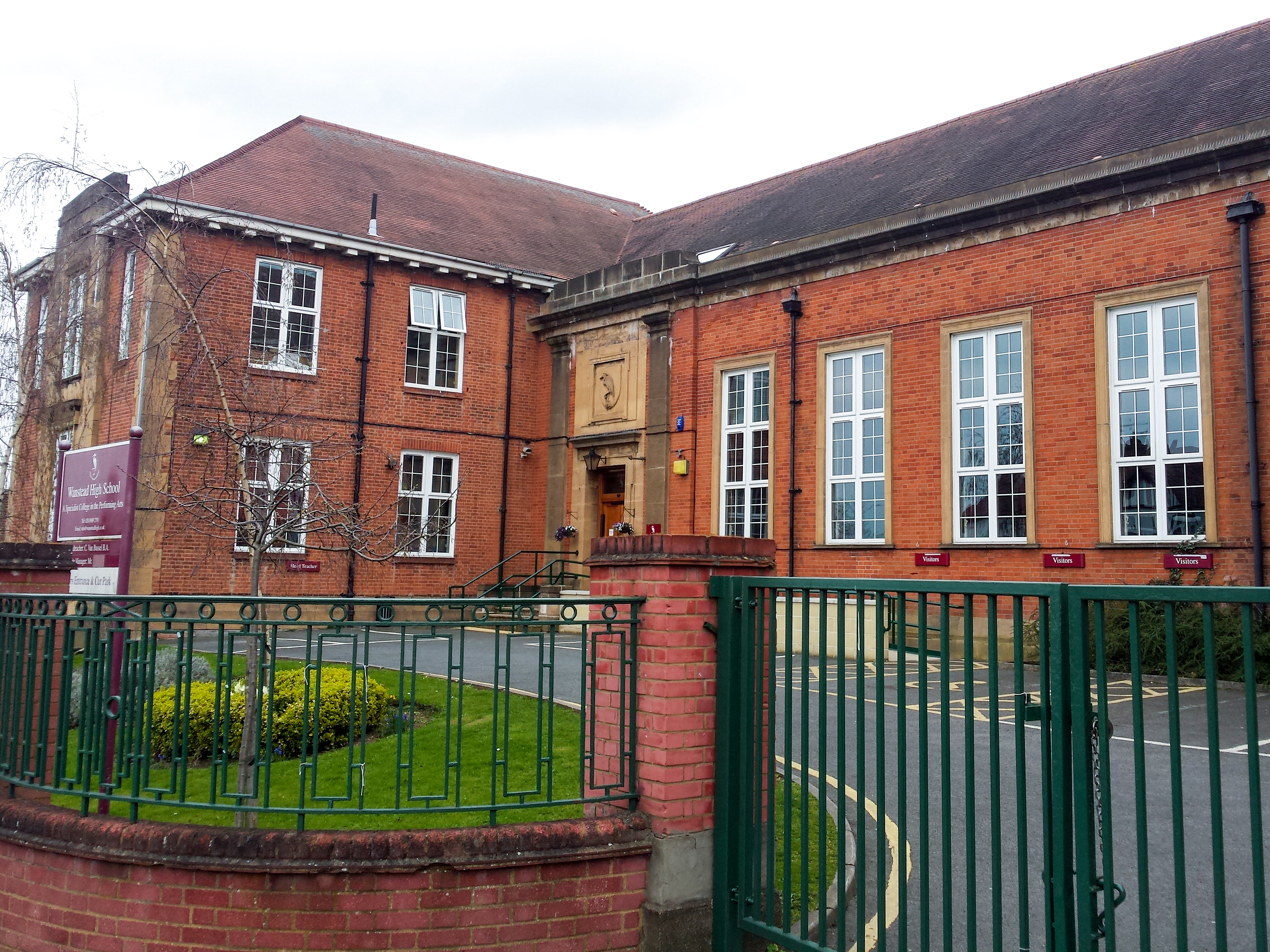
Wanstead High School
Wanstead High School (WHS), formerly Wanstead County High School, is a co-educational, non-denominational, comprehensive secondary school in Wanstead,...
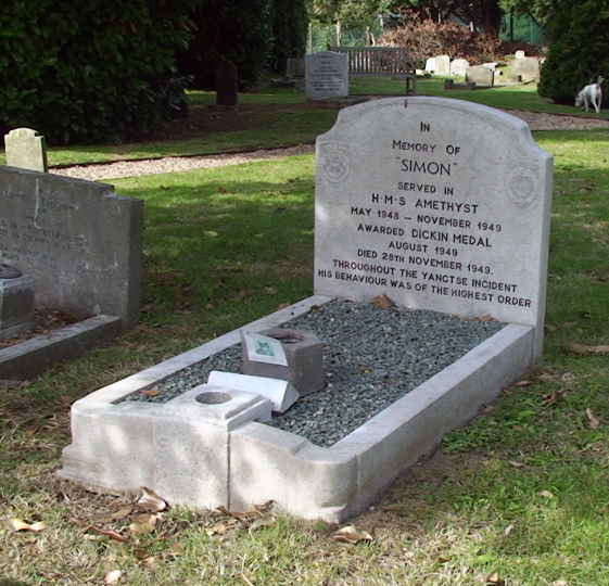
Ilford Animal Cemetery
Ilford Animal Cemetery is an animal cemetery in Ilford in London, England, United Kingdom that contains over three thousand burials. It was founded in...
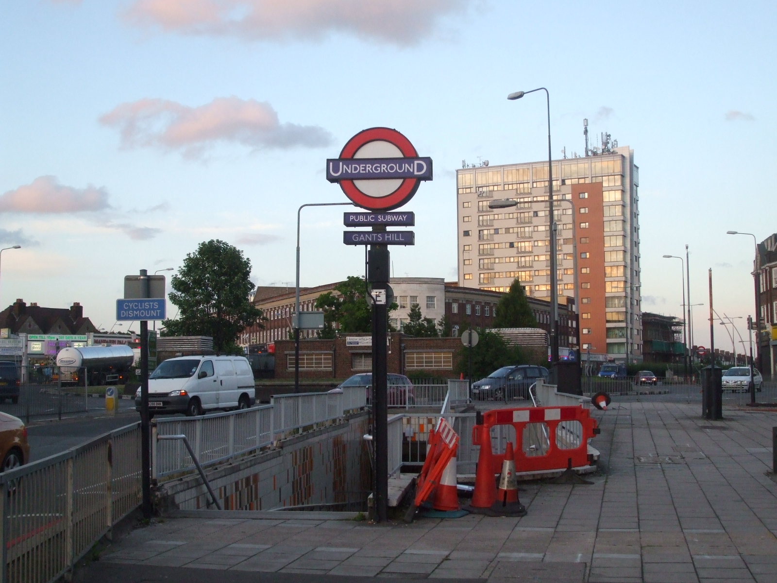
Gants Hill tube station
Gants Hill is a London Underground station in the largely residential Gants Hill district of Ilford in East London. It is served by the Central line and...
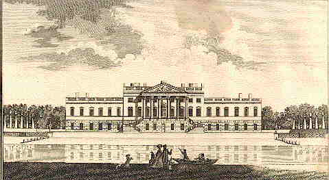
Wanstead House
Wanstead House was a mansion built to replace the earlier Wanstead Hall. It was commissioned in 1715, completed in 1722 and demolished in 1825. Its gardens...
Nearby Amenities
Located within 500m of 51.577502,0.049483Have you been to Redbridge?
Leave your review of Redbridge below (or comments, questions and feedback).