Black Lake
Settlement in Staffordshire
England
Black Lake

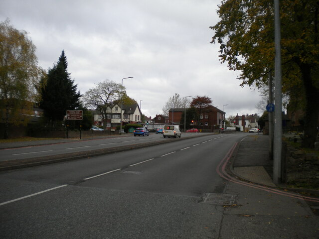
Black Lake is a small village located in the county of Staffordshire, England. Situated approximately 5 miles west of the town of West Bromwich, Black Lake falls within the metropolitan borough of Sandwell. The village is nestled between the bustling urban areas of West Bromwich and Oldbury, yet manages to retain a sense of tranquility and charm.
One of the defining features of Black Lake is, as the name suggests, its picturesque lake. The lake, which covers an area of approximately 2 acres, is a popular spot for fishing enthusiasts and nature lovers. Surrounded by lush greenery and trees, the lake provides a peaceful setting for leisurely walks and picnics.
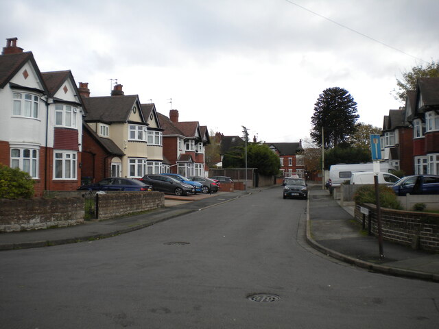
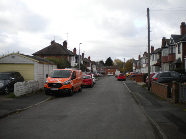
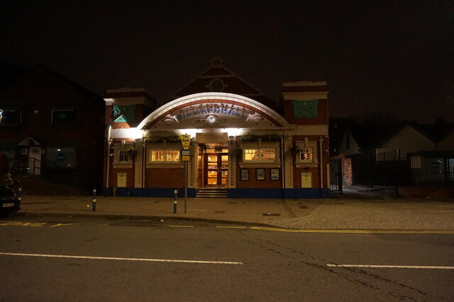
The village itself is primarily residential, with a mix of traditional terraced houses and more modern developments. Amenities in Black Lake are relatively limited, although there are a few local shops and businesses that cater to the needs of the community. Nearby, residents have easy access to larger retail centers and supermarkets in West Bromwich and Oldbury.
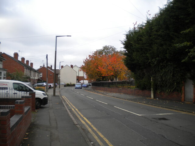
Transport links in the area are well-developed, with several bus routes passing through Black Lake, connecting it to neighboring towns and cities. The village also benefits from its proximity to major road networks, including the M5 motorway, making it a convenient location for commuters.
Overall, Black Lake offers a peaceful and idyllic setting, perfect for those seeking a quieter lifestyle while still enjoying the convenience of nearby urban centers.
If you have any feedback on the listing, please let us know in the comments section below.
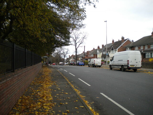
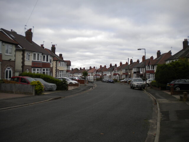
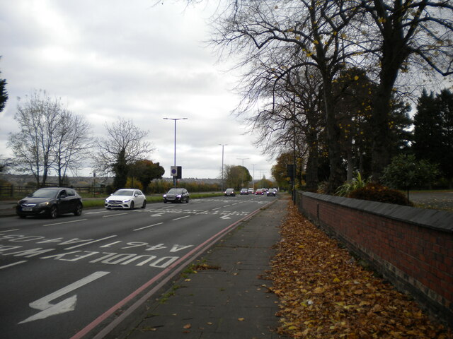
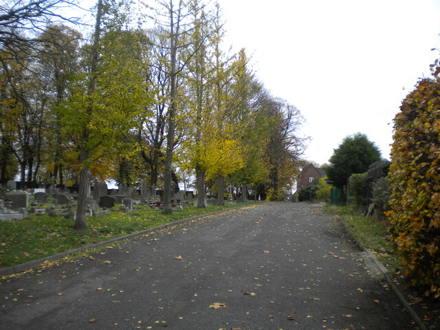
Black Lake Images
Images are sourced within 2km of 52.532857/-2.008076 or Grid Reference SO9992. Thanks to Geograph Open Source API. All images are credited.


Black Lake is located at Grid Ref: SO9992 (Lat: 52.532857, Lng: -2.008076)
Unitary Authority: Sandwell
Police Authority: West Midlands
What 3 Words
///cakes.comical.grin. Near West Bromwich, West Midlands
Nearby Locations
Related Wikis
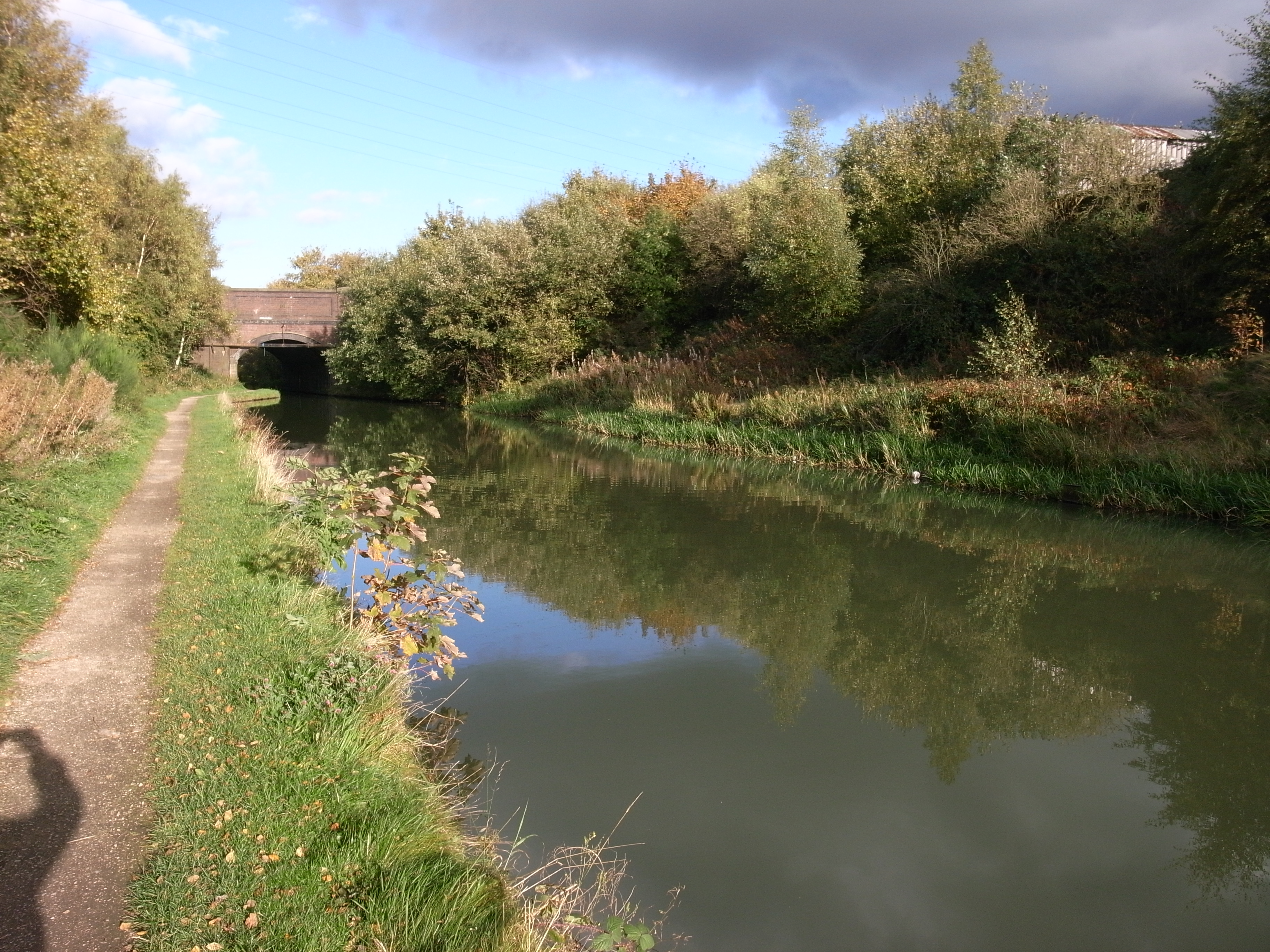
Ridgacre Branch
The Ridgacre Branch is a canal branch of the Wednesbury Old Canal, part of the Birmingham Canal Navigations, in the West Midlands, England. It opened...

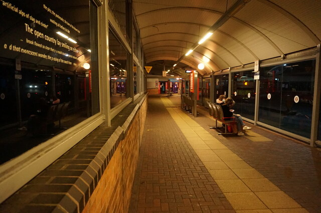
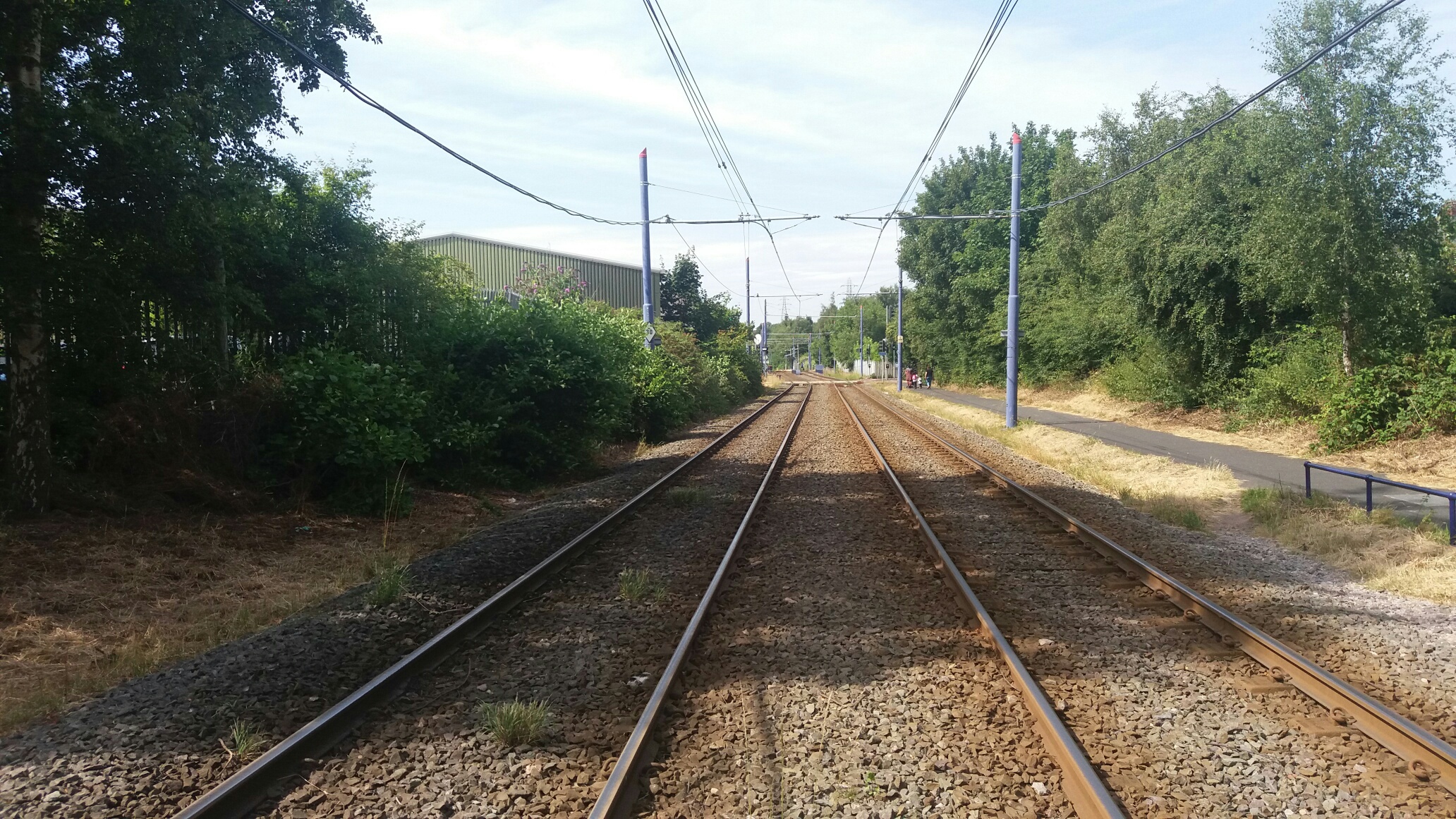
Black Lake tram stop
Black Lake tram stop is a tram stop in the Black Lake area of West Bromwich in the West Midlands, England. It is on the West Midlands Metro that links...
Swan Village railway station
Swan Village railway station was a station on the Great Western Railway's London Paddington to Birkenhead via Birmingham Snow Hill line. It was opened...

Swan Village Gas Works
Swan Village Gas Works, is a historical manufacturing plant in West Bromwich for the production of coal gas, or "town gas". The works are situated in Swan...

Black Lake Tunnel
Black Lake Tunnel is a 412-yard railway tunnel on the West Bromwich and Wednesbury border, in England. == Past == The tunnel was built by the Great Western...
Swan Village
Swan Village is an area of West Bromwich, in the Metropolitan Borough of Sandwell in the West Midlands County of England. It is now divided by the Black...

Dudley Street Guns Village tram stop
Dudley Street Guns Village is a tram stop in West Bromwich in the West Midlands, England. It was opened on 31 May 1999 and is situated on West Midlands...
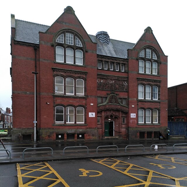
George Salter Academy
George Salter Academy is a coeducational 11-16 secondary school with academy status situated in West Bromwich, West Midlands, England. There are currently...
Nearby Amenities
Located within 500m of 52.532857,-2.008076Have you been to Black Lake?
Leave your review of Black Lake below (or comments, questions and feedback).