Ramnageo

Settlement in Shetland

Scotland

Ramnageo

Ruined crofthouse on the Ness of Ramnageo
Ruined crofthouse on the Ness of Ramnageo Credit: Mike Pennington

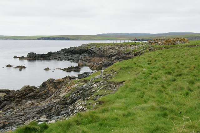
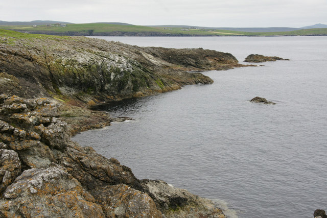
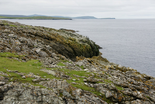
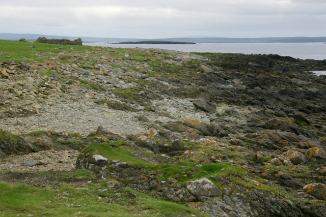
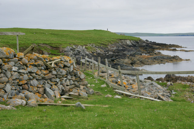
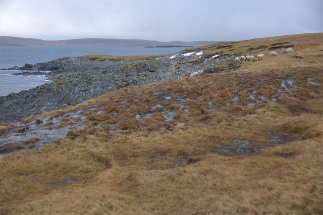
Ramnageo is a small settlement located on the island of Shetland, which lies off the northeastern coast of Scotland. Situated along the A970 road, Ramnageo is approximately 7 miles northeast of the main town of Lerwick. The village is part of the parish of Tingwall and is surrounded by picturesque countryside, offering stunning views of the North Sea.

With a population of around 100 residents, Ramnageo is a tight-knit community known for its tranquility and natural beauty. The area is primarily residential, with traditional stone houses dotting the landscape. While there are no major commercial establishments within the village itself, amenities such as shops, schools, and healthcare facilities can be found in the nearby towns.

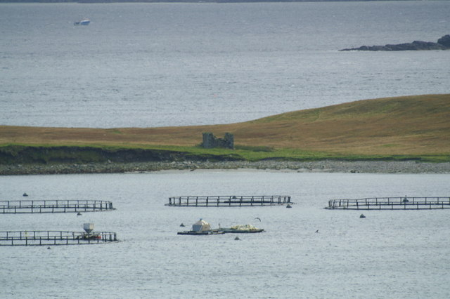
Ramnageo is an ideal location for nature enthusiasts and outdoor adventurers. The surrounding area provides numerous opportunities for hiking, cycling, and birdwatching, with several nature reserves and coastal paths in close proximity. The village is also renowned for its scenic beaches, such as Da Water and Aithsvoe, where visitors can enjoy walks along the shore or engage in water-based activities like fishing and boating.

The community spirit is strong in Ramnageo, with residents actively participating in local events and initiatives. The annual Ramnageo Fair, held in the summer, is a highlight of the village's social calendar, featuring traditional music, games, and festivities that bring together both locals and visitors.

Overall, Ramnageo offers a peaceful and idyllic setting in the heart of Shetland, making it an attractive destination for those seeking a quiet retreat amidst stunning natural landscapes.

If you have any feedback on the listing, please let us know in the comments section below.

Ramnageo Images

Images are sourced within 2km of 60.67937/-0.85455439 or Grid Reference HP6200. Thanks to Geograph Open Source API. All images are credited.

Ruined crofthouse on the Ness of Ramnageo
Ness of Ramnageo A ruined planticrub (shelter for growing crops) on the Ness; Fetlar is in the distance.
Ness of Ramnageo
A ruined planticrub (shelter for growing crops) on the Ness; Fetlar is in the distance.
Beaches on the west of the Ness of Ramnageo The ruined croft at Littlegarth can just be seen in the distance.
Beaches on the west of the Ness of Ramnageo
The ruined croft at Littlegarth can just be seen in the distance.
Coastline below Littlegarth Uyea isle is in the distance.
Coastline below Littlegarth
Uyea isle is in the distance.
Cliffs at Littlegarth Fulmars are beginning to return to ledges left empty for most of the winter.
Cliffs at Littlegarth
Fulmars are beginning to return to ledges left empty for most of the winter.
Wick of Fauld Looking across the wick from Littlegarth towards Ramnageo.
Wick of Fauld
Looking across the wick from Littlegarth towards Ramnageo.
Beach on Ness of Ramnageo Looking towards Fetlar.
Beach on Ness of Ramnageo
Looking towards Fetlar.
Wick of Fauld from Ramnageo Looking towards Littlegarth.
Wick of Fauld from Ramnageo
Looking towards Littlegarth.
Tur Ness, Uyea Isle The ruined building on Tur Ness, with salmon cages in the foreground and a small boat in the background.
Tur Ness, Uyea Isle
The ruined building on Tur Ness, with salmon cages in the foreground and a small boat in the background.
Vailan, Haaf Gruney The landing place for the island.
Vailan, Haaf Gruney
The landing place for the island.
East coast of Haaf Gruney Looking north towards Unst.
East coast of Haaf Gruney
Looking north towards Unst.
Landward Taing, Haaf Gruney Closest to Unst.
Landward Taing, Haaf Gruney
Closest to Unst.
North coast of Haaf Gruney This beach is used as a nursery beach by Grey Seals in autumn. The ruined house at the far end of the beach was a shelter used by chromate miners working at the quarry, but there were no permanent homes on the island.
North coast of Haaf Gruney
This beach is used as a nursery beach by Grey Seals in autumn. The ruined house at the far end of the beach was a shelter used by chromate miners working at the quarry, but there were no permanent homes on the island.
Vailan, Haaf Gruney Small stone shelter above the landing place.
Vailan, Haaf Gruney
Small stone shelter above the landing place.
Ness of Ramnageo Looking out towards Wedder Holm, with Fetlar in the distance.
Ness of Ramnageo
Looking out towards Wedder Holm, with Fetlar in the distance.
Scranklings, Ness of Ramnageo This unusual piece of coastline along the east side of the Ness of Ramnageo has the strangely appropriate-sounding name of Scranklings, according to the 1:10,000 map.
Scranklings, Ness of Ramnageo
This unusual piece of coastline along the east side of the Ness of Ramnageo has the strangely appropriate-sounding name of Scranklings, according to the 1:10,000 map.
Stubbi Geos, Ramnageo I had always assumed that at least one of these geos was the eponymous Ramnageo ('Raven's geo') but according to the map they are named Stubbi Geos.
Stubbi Geos, Ramnageo
I had always assumed that at least one of these geos was the eponymous Ramnageo ('Raven's geo') but according to the map they are named Stubbi Geos.
Wester Stubbi Geo, Ness of Ramnageo Looking south towards Fetlar, with Haaf Gruney on the left and Wedder Hom on the right.
Wester Stubbi Geo, Ness of Ramnageo
Looking south towards Fetlar, with Haaf Gruney on the left and Wedder Hom on the right.
Show me another place!

Ramnageo is located at Grid Ref: HP6200 (Lat: 60.67937, Lng: -0.85455439)

Unitary Authority: Shetland Islands

Police Authority: Highlands and Islands

What 3 Words

///pats.earliest.sunbeam. Near Uyeasound, Shetland Islands

Related Wikis

Muness Castle

Muness Castle is located on Unst, which is one of the Shetland Islands of Scotland. The castle is 3 kilometres (1.9 mi) east of the village of Uyeasound...

Haaf Gruney

Haaf Gruney is a small island in the north east of the Shetland Islands. == Geography and geology == The island is between Unst and Fetlar which are to...

Clivocast

Clivocast is a settlement on the island of Unst in the Shetland Islands, Scotland at 60.67°N 00.90°W / 60.67; -00.90 or grid reference HP6000 and is situated...

Mailand, Shetland

Mailand is a hamlet in the Shetland Islands. It is on the island of Unst, the northernmost of the inhabited British Isles, near its southern coast. �...

Uyea, Unst

Uyea (Scots: Uyea) is an uninhabited island, lying south of Unst in Shetland, Scotland. == History == The island was inhabited as early as the Bronze Age...

Uyeasound

Uyeasound is a village on the Isle of Unst, the northernmost island of the Shetland Islands, Scotland. It takes its name from the neighbouring strait of...

Sound Gruney

For other islands with similar names, see Gruney (disambiguation) Sound Gruney is one of the Shetland islands. It lies about 1.5 kilometres (0.93 mi)...

Belmont, Shetland

Belmont is a settlement and ferry terminal in southern Unst in the Shetland Islands. The ferry crosses from here to Gutcher in Yell and to Hamars Ness...

Nearby Amenities

Located within 500m of 60.67937,-0.85455439
Ramnageo
Is In: Scotland, GB
Place: hamlet
Lat/Long: 60.6795167/-0.8551921
Power: pole
Lat/Long: 60.6795042/-0.8570285
Power: pole
Lat/Long: 60.6799455/-0.8580933
Power: pole
Lat/Long: 60.6803947/-0.858906
Power: pole
Lat/Long: 60.6811982/-0.8605459
Power: pole
Lat/Long: 60.6807788/-0.8596423
Power: pole
Lat/Long: 60.68158/-0.8613509
The data included in this document is from www.openstreetmap.org. The data is made available under ODbL.

Have you been to Ramnageo?

Leave your review of Ramnageo below (or comments, questions and feedback).