Noust of Littlegarth

Coastal Feature, Headland, Point in Shetland

Scotland

Noust of Littlegarth

Sunset beyond the Hall on Uyea, from Muness
Sunset beyond the Hall on Uyea, from Muness Credit: Mike Pennington

Noust of Littlegarth is a prominent coastal feature located in the southern part of Shetland, Scotland. It is classified as a headland, also known as a point, and is situated on the eastern coast of the Mainland, the largest island in the Shetland archipelago.

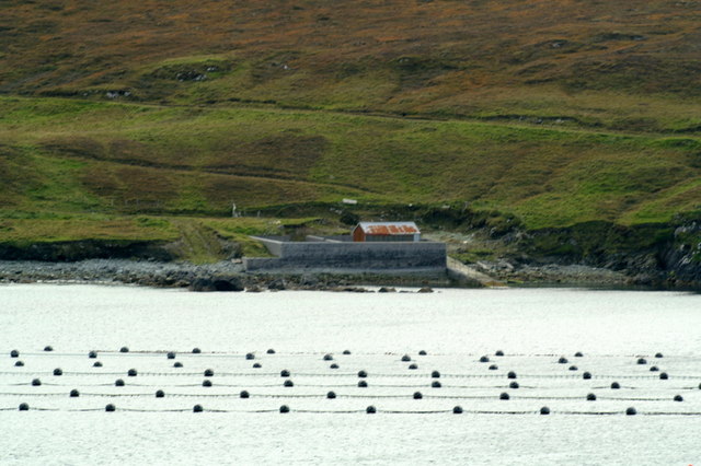
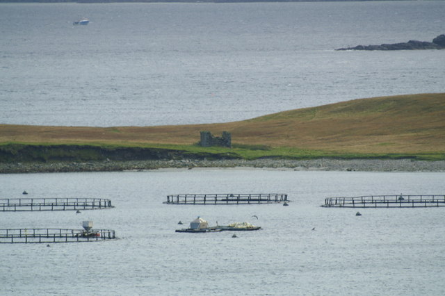
The Noust of Littlegarth stands out due to its distinctive geographical characteristics. It is characterized by its rugged cliffs, which rise steeply from the surrounding sea. The headland is composed mainly of sedimentary rocks, such as sandstone and shale, which provide a unique geological backdrop.

The Noust of Littlegarth also serves as an important landmark for navigational purposes. Its elevated position and exposed location make it easily visible from the sea, aiding mariners in determining their position and navigation along the coast.

The headland is also home to a diverse array of flora and fauna. The surrounding cliffs provide nesting sites for various seabird species, including puffins, fulmars, and guillemots. The coastal waters around the Noust of Littlegarth attract marine life such as seals and seabirds, making it a popular spot for wildlife enthusiasts and birdwatchers.

Visitors to Noust of Littlegarth can enjoy breathtaking views of the surrounding coastline and the North Sea. The headland offers opportunities for coastal walks and exploration, allowing visitors to appreciate the natural beauty and ruggedness of the Shetland landscape.

In summary, Noust of Littlegarth is a notable headland located on the eastern coast of Shetland's Mainland. With its striking cliffs, diverse wildlife, and scenic views, it offers a unique and captivating experience for visitors and locals alike.

If you have any feedback on the listing, please let us know in the comments section below.

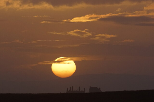
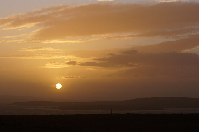
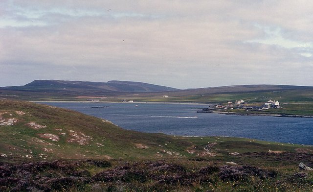
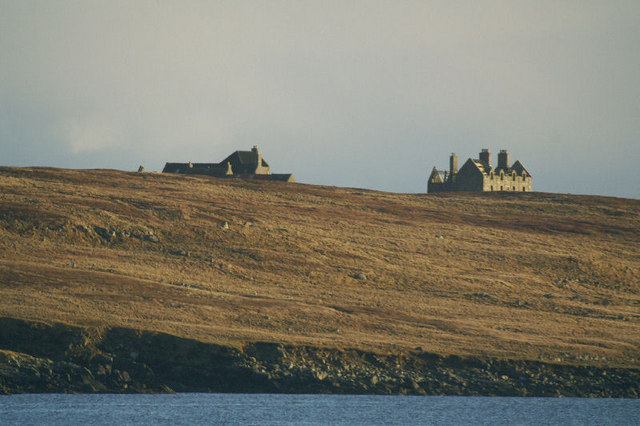
Noust of Littlegarth Images

Images are sourced within 2km of 60.678861/-0.86551943 or Grid Reference HP6200. Thanks to Geograph Open Source API. All images are credited.

Sunset beyond the Hall on Uyea, from Muness
Sunset over Uyea
Sunset over Uyea
Uyea Isle Looking from Uyea Isle towards Uyeasound.
Uyea Isle
Looking from Uyea Isle towards Uyeasound.
Uyea Hall The hall is no longer inhabitable, but the farm buildings are. Fetlar is in the distance.
Uyea Hall
The hall is no longer inhabitable, but the farm buildings are. Fetlar is in the distance.
Ruined crofthouse on the Ness of Ramnageo
Ness of Ramnageo A ruined planticrub (shelter for growing crops) on the Ness; Fetlar is in the distance.
Ness of Ramnageo
A ruined planticrub (shelter for growing crops) on the Ness; Fetlar is in the distance.
Beaches on the west of the Ness of Ramnageo The ruined croft at Littlegarth can just be seen in the distance.
Beaches on the west of the Ness of Ramnageo
The ruined croft at Littlegarth can just be seen in the distance.
Coastline below Littlegarth Uyea isle is in the distance.
Coastline below Littlegarth
Uyea isle is in the distance.
Cliffs at Littlegarth Fulmars are beginning to return to ledges left empty for most of the winter.
Cliffs at Littlegarth
Fulmars are beginning to return to ledges left empty for most of the winter.
Wick of Fauld Looking across the wick from Littlegarth towards Ramnageo.
Wick of Fauld
Looking across the wick from Littlegarth towards Ramnageo.
Beach on Ness of Ramnageo Looking towards Fetlar.
Beach on Ness of Ramnageo
Looking towards Fetlar.
Wick of Fauld from Ramnageo Looking towards Littlegarth.
Wick of Fauld from Ramnageo
Looking towards Littlegarth.
Uyea Hall The hall on the right was the home of the Neven-Spence family, most notably Sir Basil Hamilton Hebden Neven-Spence, who was elected as Conservative MP for the constituency of Orkney & Shetland in 1935, a position he held until 1950 when he was replaced by the Liberal MP Jo Grimond. The buildings on the left are still habitable and were used by the shepherd who live on the island into the 1960s, and are still used by the current owners of the island when they are in lambing. The photo was taken from the Point of Burkwell on the Unst mainland.
Uyea Hall
The hall on the right was the home of the Neven-Spence family, most notably Sir Basil Hamilton Hebden Neven-Spence, who was elected as Conservative MP for the constituency of Orkney & Shetland in 1935, a position he held until 1950 when he was replaced by the Liberal MP Jo Grimond. The buildings on the left are still habitable and were used by the shepherd who live on the island into the 1960s, and are still used by the current owners of the island when they are in lambing. The photo was taken from the Point of Burkwell on the Unst mainland.
The pier on Uyea Isle The lines in the foreground are mussel rafts.
The pier on Uyea Isle
The lines in the foreground are mussel rafts.
Tur Ness, Uyea Isle The ruined building on Tur Ness, with salmon cages in the foreground and a small boat in the background.
Tur Ness, Uyea Isle
The ruined building on Tur Ness, with salmon cages in the foreground and a small boat in the background.
Abandoned salmon cage ring on Uyea Isle At one time quite a few of these rings were pulled up on the island for repair; this one was presumably beyond rescue.
Abandoned salmon cage ring on Uyea Isle
At one time quite a few of these rings were pulled up on the island for repair; this one was presumably beyond rescue.
Uyea Isle from Clivocast Uyea Hall protrudes above the horizon. The TV mast on Lambhoga on Fetlar is in the background.
Uyea Isle from Clivocast
Uyea Hall protrudes above the horizon. The TV mast on Lambhoga on Fetlar is in the background.
Uyea isle from Ramnageo The ruined haa on the left and the farmhouse on the right are just over the top of the hill and in the adjoining gridsquare.
Uyea isle from Ramnageo
The ruined haa on the left and the farmhouse on the right are just over the top of the hill and in the adjoining gridsquare.
Show me another place!

Noust of Littlegarth is located at Grid Ref: HP6200 (Lat: 60.678861, Lng: -0.86551943)

Unitary Authority: Shetland Islands

Police Authority: Highlands and Islands

What 3 Words

///pigs.butterfly.rally. Near Uyeasound, Shetland Islands

Related Wikis

Muness Castle

Muness Castle is located on Unst, which is one of the Shetland Islands of Scotland. The castle is 3 kilometres (1.9 mi) east of the village of Uyeasound...

Clivocast

Clivocast is a settlement on the island of Unst in the Shetland Islands, Scotland at 60.67°N 00.90°W / 60.67; -00.90 or grid reference HP6000 and is situated...

Uyea, Unst

Uyea (Scots: Uyea) is an uninhabited island, lying south of Unst in Shetland, Scotland. == History == The island was inhabited as early as the Bronze Age...

Haaf Gruney

Haaf Gruney is a small island in the north east of the Shetland Islands. == Geography and geology == The island is between Unst and Fetlar which are to...

Mailand, Shetland

Mailand is a hamlet in the Shetland Islands. It is on the island of Unst, the northernmost of the inhabited British Isles, near its southern coast. �...

Uyeasound

Uyeasound is a village on the Isle of Unst, the northernmost island of the Shetland Islands, Scotland. It takes its name from the neighbouring strait of...

Sound Gruney

For other islands with similar names, see Gruney (disambiguation) Sound Gruney is one of the Shetland islands. It lies about 1.5 kilometres (0.93 mi)...

Belmont, Shetland

Belmont is a settlement and ferry terminal in southern Unst in the Shetland Islands. The ferry crosses from here to Gutcher in Yell and to Hamars Ness...

Nearby Amenities

Located within 500m of 60.678861,-0.86551943
Passing Place
Lat/Long: 60.678806/-0.865563
Power: pole
Lat/Long: 60.6795042/-0.8570285
Power: pole
Lat/Long: 60.6799455/-0.8580933
Power: pole
Lat/Long: 60.6803947/-0.858906
Power: pole
Lat/Long: 60.6811982/-0.8605459
Power: pole
Lat/Long: 60.6807788/-0.8596423
Power: pole
Lat/Long: 60.68158/-0.8613509
Power: pole
Lat/Long: 60.6819451/-0.8620912
Power: pole
Lat/Long: 60.6823969/-0.8630621
Power: pole
Lat/Long: 60.683005/-0.8633813
The data included in this document is from www.openstreetmap.org. The data is made available under ODbL.

Have you been to Noust of Littlegarth?

Leave your review of Noust of Littlegarth below (or comments, questions and feedback).