Radmore Wood

Settlement in Staffordshire East Staffordshire

England

Radmore Wood

St Nicholas's Church Grade II* listed building of about 1300 - see <span class="nowrap"><a title="https://historicengland.org.uk/listing/the-list/list-entry/1374461" rel="nofollow ugc noopener" href="https://historicengland.org.uk/listing/the-list/list-entry/1374461">Link</a><img style="margin-left:2px;" alt="External link" title="External link - shift click to open in new window" src="https://s1.geograph.org.uk/img/external.png" width="10" height="10"/></span>
St Nicholas's Church Credit: Bob Harvey

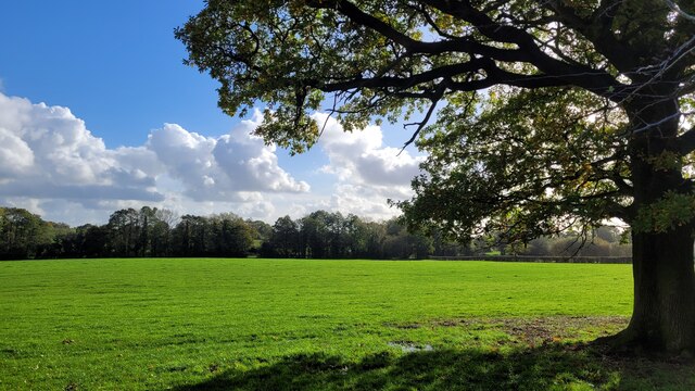
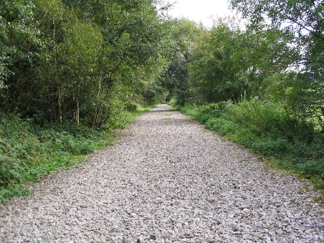
Radmore Wood is a small woodland area located in Staffordshire, England. Covering an area of approximately 20 hectares, it is situated near the village of Abbots Bromley and lies within the Cannock Chase Area of Outstanding Natural Beauty.

The wood is predominantly made up of broadleaf trees, including oak, beech, and birch, creating a diverse and picturesque landscape. It is home to a variety of wildlife, such as deer, foxes, and numerous bird species, making it a popular destination for nature enthusiasts and birdwatchers.

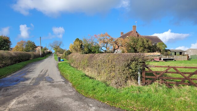
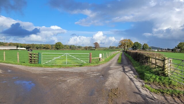
Radmore Wood offers visitors several walking trails, providing the opportunity to explore its tranquil surroundings and enjoy the peaceful ambiance. The paths are well-maintained and suitable for all abilities, making it an ideal place for a leisurely stroll or a family outing.

In addition to its natural beauty, Radmore Wood holds historical significance. It is believed to have been part of the ancient Needwood Forest, which was once a royal hunting ground. Remnants of the forest's past can still be seen, with some areas displaying evidence of ancient woodbanks and ditches.

The wood is managed by the Forestry Commission, ensuring its conservation and protection. The commission periodically carries out maintenance work, including tree thinning and path maintenance, to preserve the wood's ecological balance and enhance visitor experience.

Overall, Radmore Wood offers a peaceful retreat for those seeking solace in nature. Its combination of scenic beauty, walking trails, and historical significance make it a hidden gem within Staffordshire's natural landscape.

If you have any feedback on the listing, please let us know in the comments section below.
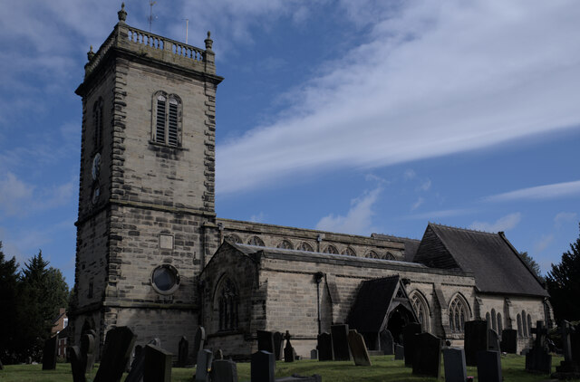
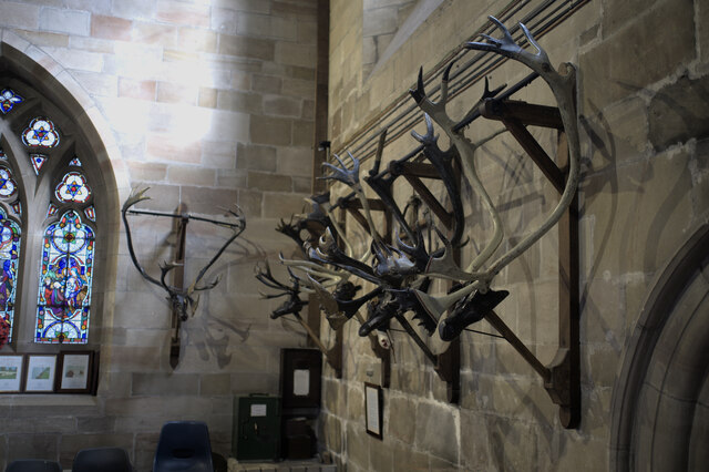
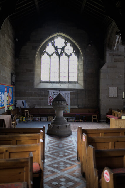
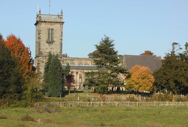
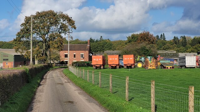
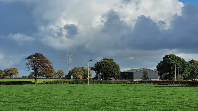
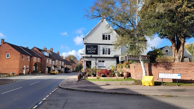
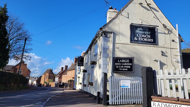
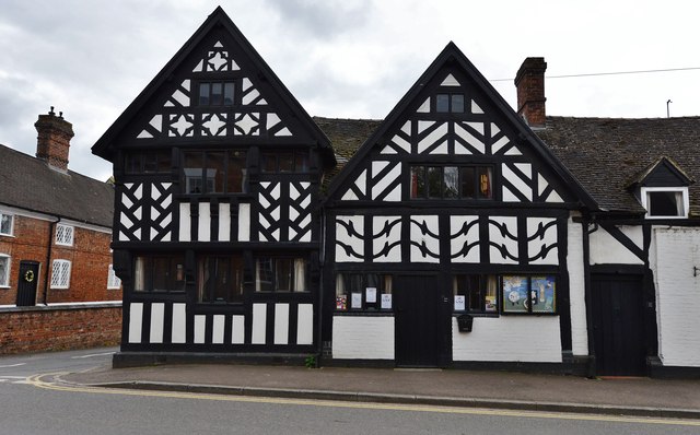
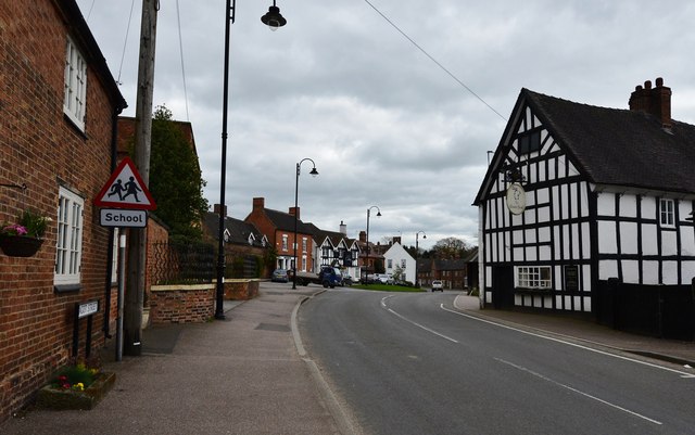
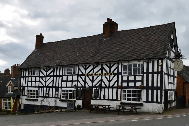
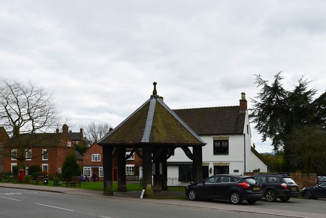
Radmore Wood Images

Images are sourced within 2km of 52.823428/-1.86967 or Grid Reference SK0825. Thanks to Geograph Open Source API. All images are credited.

St Nicholas's Church Grade II* listed building of about 1300 - see <span class="nowrap"><a title="https://historicengland.org.uk/listing/the-list/list-entry/1374461" rel="nofollow ugc noopener" href="https://historicengland.org.uk/listing/the-list/list-entry/1374461">Link</a><img style="margin-left:2px;" alt="External link" title="External link - shift click to open in new window" src="https://s1.geograph.org.uk/img/external.png" width="10" height="10"/></span>
St Nicholas's Church
Grade II* listed building of about 1300 - see LinkExternal link
Horn dance headgear Preserved in <a href="https://www.geograph.org.uk/photo/6983789">SK0724 : St Nicholas's Church</a>. one of the reindeer horn headgear used in the ancient Abbots Bromley Horn Dance.  See <span class="nowrap"><a title="https://abbotsbromley.com/information/horn_dance/" rel="nofollow ugc noopener" href="https://abbotsbromley.com/information/horn_dance/">Link</a><img style="margin-left:2px;" alt="External link" title="External link - shift click to open in new window" src="https://s1.geograph.org.uk/img/external.png" width="10" height="10"/></span>
Horn dance headgear
Preserved in SK0724 : St Nicholas's Church. one of the reindeer horn headgear used in the ancient Abbots Bromley Horn Dance. See LinkExternal link
Horn dance headgear Preserved in <a href="https://www.geograph.org.uk/photo/6983789">SK0724 : St Nicholas's Church</a>.Several of the reindeer horn headgear used in the ancient Abbots Bromley Horn Dance.  See <span class="nowrap"><a title="https://abbotsbromley.com/information/horn_dance/" rel="nofollow ugc noopener" href="https://abbotsbromley.com/information/horn_dance/">Link</a><img style="margin-left:2px;" alt="External link" title="External link - shift click to open in new window" src="https://s1.geograph.org.uk/img/external.png" width="10" height="10"/></span>
Horn dance headgear
Preserved in SK0724 : St Nicholas's Church.Several of the reindeer horn headgear used in the ancient Abbots Bromley Horn Dance. See LinkExternal link
Walking Together A sculpture designed and commissioned by the parishioners to celebrate a thousand years of church history in the village of Abbots Bromley, made by Neil Wood from Stafford College.

See <span class="nowrap"><a title="https://media.acny.uk/media/venues/page/attachment/2018/03/Walking_Together_-_Celebrating_1000_years_of_St_Nicholas.pdf" rel="nofollow ugc noopener" href="https://media.acny.uk/media/venues/page/attachment/2018/03/Walking_Together_-_Celebrating_1000_years_of_St_Nicholas.pdf">Link</a><img style="margin-left:2px;" alt="External link" title="External link - shift click to open in new window" src="https://s1.geograph.org.uk/img/external.png" width="10" height="10"/></span>
Walking Together
A sculpture designed and commissioned by the parishioners to celebrate a thousand years of church history in the village of Abbots Bromley, made by Neil Wood from Stafford College. See LinkExternal link
St Nicholas's Church: The Font The font, at the Western end.
St Nicholas's Church: The Font
The font, at the Western end.
St Nicholas' Church, Abbots Bromley, Staffordshire View taken from a public footpath south of the church.  St Nicholas is the Parish Church of Abbots Bromley. It dates from about 1300, with a clerestorey added about 1500 and the west tower rebuilt in about 1700. The church is a Grade II*-listed building. Inside the church are a number of items related to the Abbots Bromley Horn Dance
St Nicholas' Church, Abbots Bromley, Staffordshire
View taken from a public footpath south of the church. St Nicholas is the Parish Church of Abbots Bromley. It dates from about 1300, with a clerestorey added about 1500 and the west tower rebuilt in about 1700. The church is a Grade II*-listed building. Inside the church are a number of items related to the Abbots Bromley Horn Dance
Hart's Farm Flat, fertile East Staffordshire.
The patches of woodland form a backdrop along with a sunny early November sky.
Hart's Farm
Flat, fertile East Staffordshire. The patches of woodland form a backdrop along with a sunny early November sky.
Park Farm Two large farm units one field apart. This is Park Farm photographed from the same spot as <a href="https://www.geograph.org.uk/photo/7331944">SK1026 : Hart's Farm</a> was taken.
Park Farm
Two large farm units one field apart. This is Park Farm photographed from the same spot as SK1026 : Hart's Farm was taken.
Bagot Arms, Abbot's Bromley On Bagot Street, B5234.
Bagot Arms, Abbot's Bromley
On Bagot Street, B5234.
The Coach and Horses One of several pubs in Abbot's Bromley.
The Coach and Horses
One of several pubs in Abbot's Bromley.
Flat pasture land View to the east of Radmore Lane.
Flat pasture land
View to the east of Radmore Lane.
Radmore Wood A small hamlet to the north east of Abbot's Bromley.
Radmore Wood
A small hamlet to the north east of Abbot's Bromley.
Farm tracks To the left to Hart's Farm, to the right to Park Farm.
Both are public rights of way.
Farm tracks
To the left to Hart's Farm, to the right to Park Farm. Both are public rights of way.
Abbots Bromley: St. Nicholas' Church
Abbots Bromley: Half timbered building in Bagot Street
Abbots Bromley: East along Bagot Street
Abbots Bromley: The Goat's Head PH
Abbots Bromley: The Butter Cross Records show that a Butter Cross has stood here since the 14th century; the present one is most probably a 17th century replacement.
Abbots Bromley: The Butter Cross
Records show that a Butter Cross has stood here since the 14th century; the present one is most probably a 17th century replacement.
Show me another place!

Radmore Wood is located at Grid Ref: SK0825 (Lat: 52.823428, Lng: -1.86967)

Administrative County: Staffordshire

District: East Staffordshire

Police Authority: Staffordshire

What 3 Words

///solder.rebounder.cutaway. Near Abbots Bromley, Staffordshire

Related Wikis

Abbots Bromley School

Abbots Bromley School (previously the School of S. Mary and S. Anne, Abbots Bromley before becoming Abbots Bromley School for Girls) was a coeducational...

Abbots Bromley

Abbots Bromley is a village and civil parish in the East Staffordshire district of Staffordshire and lies approximately 9.8 miles (15.8 km) east of Stafford...

RAF Abbots Bromley

RAF Abbots Bromley is a former Royal Air Force Relief Landing Ground (RLG) located 0.7 miles (1.1 km) north-west of the village of Abbots Bromley, Staffordshire...

Staffordshire Way

The Staffordshire Way is a long-distance walk in Staffordshire, England. The path links with the Cheshire Gritstone Trail, the Heart of England Way and...

Bagot's Wood

Bagot's Wood is the largest extant piece of the ancient Needwood Forest, located near to Abbots Bromley, in Staffordshire, England. The forest derives...

Blithfield Reservoir

Blithfield Reservoir is a large raw water reservoir in Staffordshire, England, owned by South Staffordshire Water. Some 800 acres (324 hectares) of reservoir...
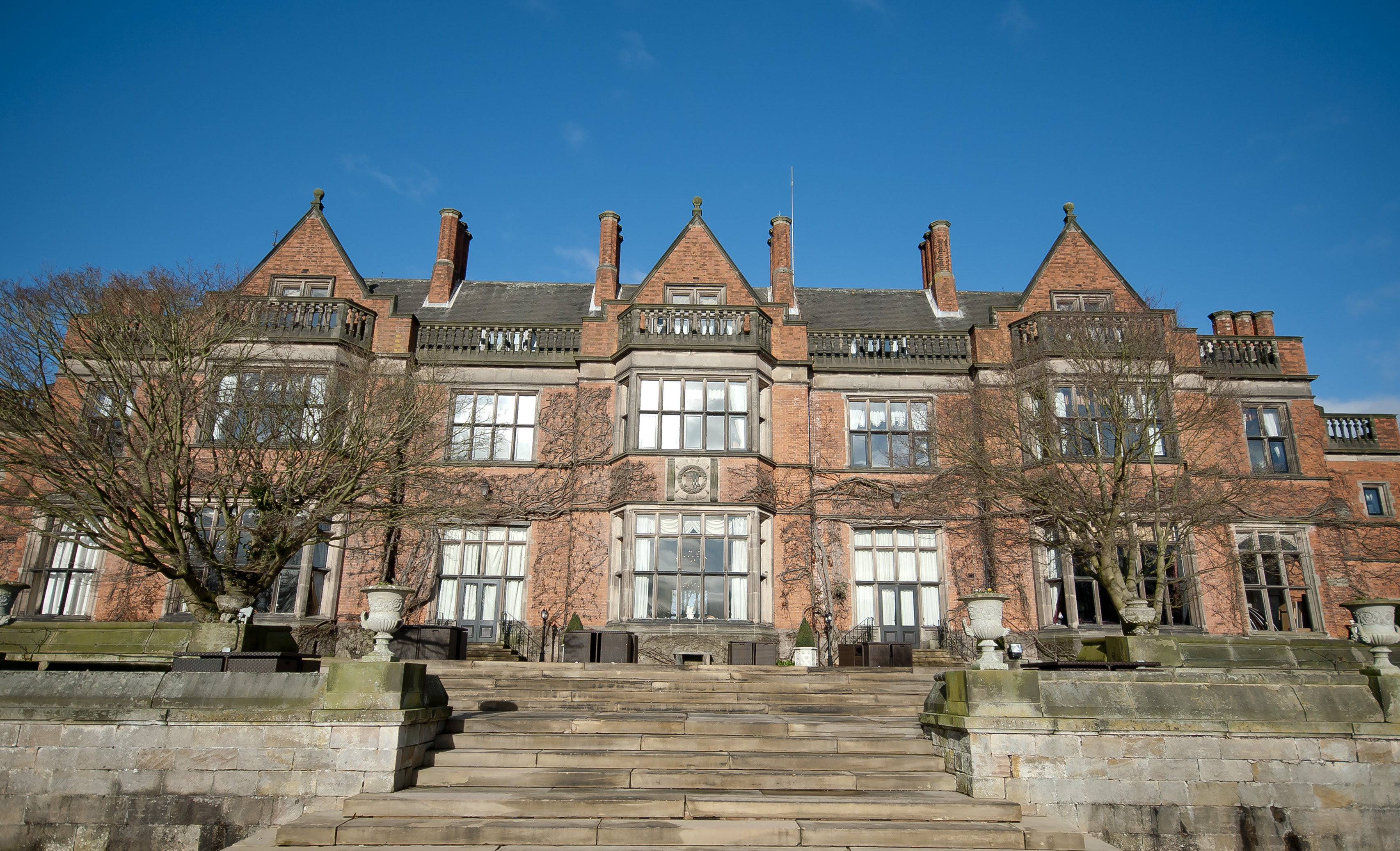
Hoar Cross Hall

Hoar Cross Hall is a 19th-century country mansion near the villages of Hoar Cross and Hamstall Ridware, Staffordshire. England. The Grade II listed building...

Church of the Holy Angels, Hoar Cross

The Church of the Holy Angels is an Anglican church in Hoar Cross, Staffordshire, England. It is a Grade I listed building. == History == It was built...

Nearby Amenities

Located within 500m of 52.823428,-1.86967
Barrier: stile
Steps: 1
Stile: stepover
Lat/Long: 52.8228481/-1.8716531
Barrier: stile
Steps: 2
Stile: stepover
Lat/Long: 52.8243283/-1.8703836
Barrier: stile
Steps: 1
Stile: stepover
Lat/Long: 52.8216196/-1.8721645
Barrier: stile
Steps: 2
Stile: stepover
Lat/Long: 52.826538/-1.867289
Barrier: stile
Steps: 1
Stile: stepover
Lat/Long: 52.8228189/-1.8716664
Note: It's not obvious from the road how water gets to here. Presumably piped from northwest somehow
Lat/Long: 52.8236996/-1.8766762
Barrier: stile
Steps: 1
Stile: stepover
Lat/Long: 52.8240082/-1.8713982
Barrier: stile
Steps: 1
Stile: stepover
Lat/Long: 52.8238649/-1.8711428
Barrier: stile
Steps: 1
Stile: stepover
Lat/Long: 52.823799/-1.8710986
Barrier: stile
Steps: 2
Stile: stepover
Lat/Long: 52.8210677/-1.8735767
Radmore Wood
Place: locality
Source: OS_OpenData_StreetView
Lat/Long: 52.8234629/-1.8703251
Barrier: stile
Steps: 2
Stile: stepover
Lat/Long: 52.8240042/-1.8738118
Barrier: stile
Steps: 1
Stile: stepover
Lat/Long: 52.8258663/-1.8681804
Barrier: stile
Steps: 1
Stile: stepover
Lat/Long: 52.8254379/-1.8687532
Barrier: stile
Steps: 2
Stile: stepover
Lat/Long: 52.8199222/-1.8653196
Barrier: stile
Steps: 1
Stile: stepover
Lat/Long: 52.8214511/-1.8665459
Passing Place
Lat/Long: 52.819674/-1.8714899
Man Made: pipeline_marker
Operator: UKOP
Source: survey
Substance: oil
Lat/Long: 52.8235902/-1.863454
The data included in this document is from www.openstreetmap.org. The data is made available under ODbL.

Have you been to Radmore Wood?

Leave your review of Radmore Wood below (or comments, questions and feedback).