Bissom

Settlement in Cornwall

England

Bissom

Fine art deco apartments Facing the marina on North Parade.
Fine art deco apartments Credit: Jonathan Billinger

Bissom is a small village located in Cornwall, England. It is situated near the coast, offering residents and visitors stunning views of the sea. The village is known for its quaint charm and peaceful atmosphere, making it a popular destination for those looking to escape the hustle and bustle of city life.

Bissom is home to a tight-knit community, with a population of around 500 residents. The village has a primary school, a church, and a few small shops and cafes. There are also several walking trails and green spaces in the area, making it a great spot for outdoor enthusiasts.

The architecture in Bissom is predominantly traditional, with many historic buildings dating back to the 18th and 19th centuries. The village is surrounded by lush countryside, providing plenty of opportunities for hiking, cycling, and exploring the natural beauty of the area.

Overall, Bissom is a charming and picturesque village that offers a peaceful retreat for those looking to relax and unwind in the heart of the Cornwall countryside.

If you have any feedback on the listing, please let us know in the comments section below.
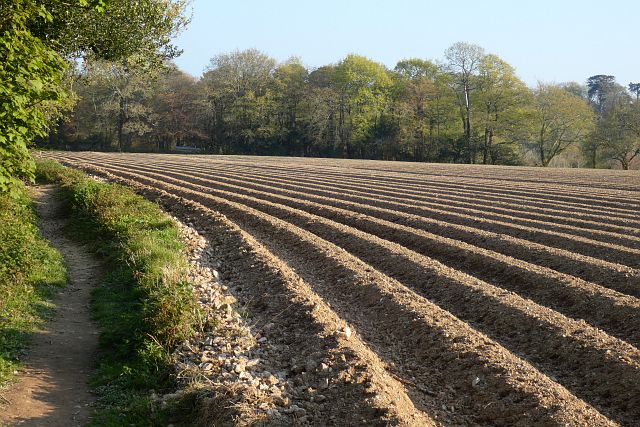
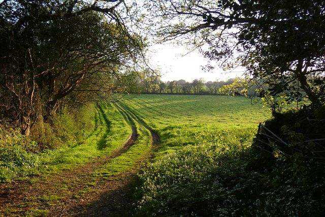
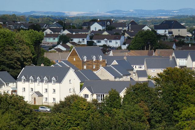
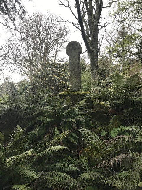
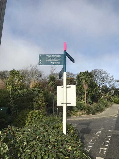
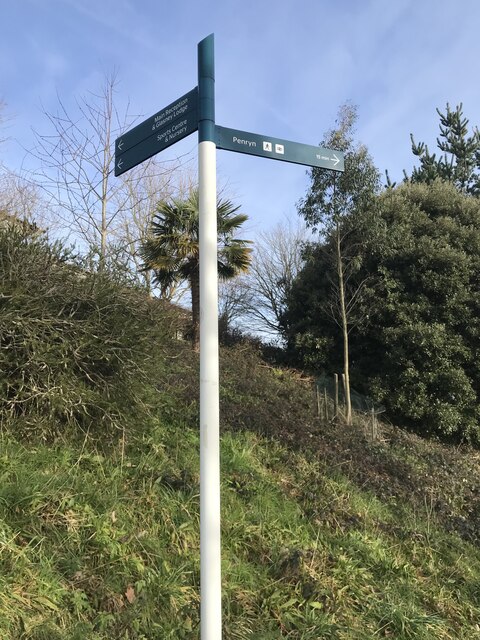
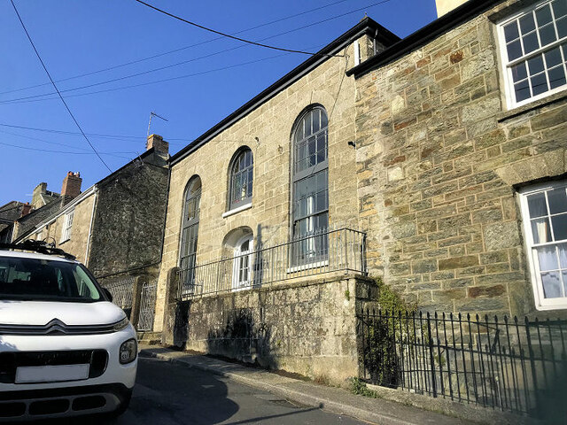
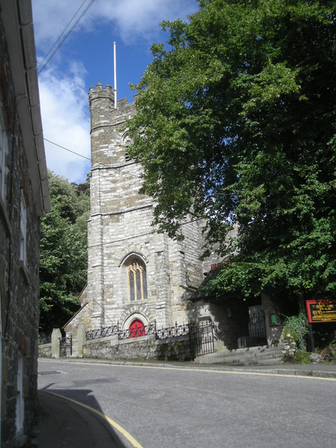
Bissom Images

Images are sourced within 2km of 50.172265/-5.095296 or Grid Reference SW7934. Thanks to Geograph Open Source API. All images are credited.

Fine art deco apartments Facing the marina on North Parade.
Fine art deco apartments
Facing the marina on North Parade.
Falmouth Marina Viewed from North Parade.
Falmouth Marina
Viewed from North Parade.
Farmland, Mylor Beside Tregew Road, a crop of, perhaps, broccoli given the protection of plastic.
Farmland, Mylor
Beside Tregew Road, a crop of, perhaps, broccoli given the protection of plastic.
Farmland, Mylor The footpath north of Rekedjack Cottages follows the edge of this furrowed potato field.
Farmland, Mylor
The footpath north of Rekedjack Cottages follows the edge of this furrowed potato field.
Pasture, Ponsanooth A footpath to the west of Gwarder approaches Penryn.
Pasture, Ponsanooth
A footpath to the west of Gwarder approaches Penryn.
Houses, Penryn The recently developed Trelowen Drive is seen from the footpath below Tregonhaye.
Houses, Penryn
The recently developed Trelowen Drive is seen from the footpath below Tregonhaye.
Estuary, Penryn An inlet below Bissom on the northern side of the Penryn River at high tide.
Estuary, Penryn
An inlet below Bissom on the northern side of the Penryn River at high tide.
Cross In Enys Gardens there is a Cornish Cross, which, according to this Wikipedia article, originally stood at Sancreed in Kerrier and was set up at Enys in 1848.
<span class="nowrap"><a title="https://en.m.wikipedia.org/wiki/Stone_crosses_in_Cornwall" rel="nofollow ugc noopener" href="https://en.m.wikipedia.org/wiki/Stone_crosses_in_Cornwall">Link</a><img style="margin-left:2px;" alt="External link" title="External link - shift click to open in new window" src="https://s1.geograph.org.uk/img/external.png" width="10" height="10"/></span>

Milestone Society National ID: CWKE_SGL02
Cross
In Enys Gardens there is a Cornish Cross, which, according to this Wikipedia article, originally stood at Sancreed in Kerrier and was set up at Enys in 1848. LinkExternal link Milestone Society National ID: CWKE_SGL02
Surveyor’s rivet
Surveyor’s rivet
Pedestrian fingerpost
Surveyor’s rivet
Surveyor’s rivet
Pedestrian fingerpost
Church of the Holy Spirit
Wesley Court
Wesley Court
Former Congregational Chapel
Highway church
Highway church
Show me another place!

Bissom is located at Grid Ref: SW7934 (Lat: 50.172265, Lng: -5.095296)

Unitary Authority: Cornwall

Police Authority: Devon and Cornwall

What 3 Words

///flow.bath.backtrack. Near Penryn, Cornwall

Nearby Locations

Bissom Gorrangorras Creek

Related Wikis

Bissom

Bissom is a hamlet in south Cornwall, England, United Kingdom situated half-a-mile east of Penryn.Most of Bissom falls within the civil parish of Penryn...

Penryn Town Hall

Penryn Town Hall is a municipal building in Higher Market Street, Penryn, Cornwall, England. The structure, which is used as an events venue and also incorporates...

St Gluvias

St Gluvias is a settlement in Cornwall, England, United Kingdom. The village is now a suburb on the northern edge of Penryn which is two miles (3.2 km...

Glasney College

Glasney College (Cornish: Kolji Glasneth) was founded in 1265 at Penryn, Cornwall, by Bishop Bronescombe and was a centre of ecclesiastical power in medieval...

Nearby Amenities

Located within 500m of 50.172265,-5.095296
Source: PGS
Lat/Long: 50.1685698/-5.0990817
Source: PGS
Lat/Long: 50.1688578/-5.0996024
Source: PGS
Lat/Long: 50.1689365/-5.0997708
Source: PGS
Lat/Long: 50.1697405/-5.100088
Source: PGS
Lat/Long: 50.1694591/-5.0986964
Source: PGS
Lat/Long: 50.168958/-5.097496
Source: PGS
Lat/Long: 50.1684756/-5.0968836
Source: PGS
Lat/Long: 50.1682554/-5.096412
Source: PGS
Lat/Long: 50.1679225/-5.0953349
Source: PGS
Lat/Long: 50.1678638/-5.0949928
Source: PGS
Lat/Long: 50.1682816/-5.0921557
Source: PGS
Lat/Long: 50.1685332/-5.091877
Source: PGS
Lat/Long: 50.169082/-5.0917145
Source: PGS
Lat/Long: 50.1693999/-5.0919773
Source: PGS
Lat/Long: 50.1702318/-5.0918653
Source: PGS
Lat/Long: 50.1702921/-5.0909143
Source: PGS
Lat/Long: 50.1699422/-5.0905276
Created By: almien_coastlines
Source: PGS
Lat/Long: 50.169481/-5.090391
Barrier: stile
Material: stone
Stile: stepover
Lat/Long: 50.1680817/-5.0954562
Source: PGS
Lat/Long: 50.1703161/-5.0919414
WW2 Searchlight (site of)
Building: bunker
Bunker Type: searchlight
Military: bunker
Lat/Long: 50.170564/-5.0965276
Bissom
Name En: Bissom
Name Kw: Musyn
Place: hamlet
Wikidata: Q4918481
Wikipedia: en:Bissom
Lat/Long: 50.1719567/-5.0951721
Grit Bin
Lat/Long: 50.1727168/-5.1019592
Waste Basket
Lat/Long: 50.1702053/-5.100363
Barrier: stile
Material: stone
Stile: stepover
Lat/Long: 50.1698411/-5.0903955
Post Box
Brand: Royal Mail
Brand Wikidata: Q638098
Collection Times: Mo-Fr 09:00; Sa 07:00; Su off
Drive Through: no
Operator: Royal Mail
Operator Wikidata: Q638098
Post Box Mounting: stone_wall
Post Box Type: lamp
Ref: TR10 113D
Royal Cypher: EIIR
Royal Cypher Wikidata: Q33102113
Source: survey;streetlevel imagery;aerial imagery
Lat/Long: 50.1722259/-5.0952932
Generator Method: photovoltaic
Generator Output Electricity: yes
Generator Source: solar
Generator Type: solar_photovoltaic_panel
Location: roof
Power: generator
Lat/Long: 50.1715539/-5.1002258
Generator Method: photovoltaic
Generator Output Electricity: yes
Generator Source: solar
Generator Type: solar_photovoltaic_panel
Location: roof
Power: generator
Lat/Long: 50.1715574/-5.1001614
Generator Method: photovoltaic
Generator Output Electricity: yes
Generator Source: solar
Generator Type: solar_photovoltaic_panel
Location: roof
Power: generator
Lat/Long: 50.1719972/-5.1020014
Generator Method: photovoltaic
Generator Output Electricity: yes
Generator Source: solar
Generator Type: solar_photovoltaic_panel
Location: roof
Power: generator
Lat/Long: 50.1718219/-5.1005101
Generator Method: photovoltaic
Generator Output Electricity: yes
Generator Source: solar
Generator Type: solar_photovoltaic_panel
Location: roof
Power: generator
Lat/Long: 50.1722016/-5.1006657
Generator Method: photovoltaic
Generator Output Electricity: yes
Generator Source: solar
Generator Type: solar_photovoltaic_panel
Location: roof
Power: generator
Lat/Long: 50.1721999/-5.1008132
Generator Method: photovoltaic
Generator Output Electricity: yes
Generator Source: solar
Generator Type: solar_photovoltaic_panel
Location: roof
Power: generator
Lat/Long: 50.1720315/-5.1006389
Generator Method: photovoltaic
Generator Output Electricity: yes
Generator Source: solar
Generator Type: solar_photovoltaic_panel
Location: roof
Power: generator
Lat/Long: 50.1720023/-5.101473
Generator Method: photovoltaic
Generator Output Electricity: yes
Generator Source: solar
Generator Type: solar_photovoltaic_panel
Location: roof
Power: generator
Lat/Long: 50.1721243/-5.1014972
Bus Stop
Bohelland Rise (N-Bound)
Bus: yes
Departures Board: no
Description: Request Stop- Currently No Sign. On Timetable
Naptan AtcoCode: 0800COC30640
Naptan Bearing: N
Naptan BusStopType: CUS
Naptan CommonName: Bohelland Rise
Naptan Indicator: N-bound
Naptan NaptanCode: coratdwa
Naptan PlusbusZoneRef: FALMTHT
Naptan Street: Bohelland Rise
Naptan Verified: no
Operator: Go Cornwall
Public Transport: platform
Shelter: no
Source: naptan;bing;naptan_compare_tool
Website: https://www.gocornwallbus.co.uk/stops/0800COC30640
Lat/Long: 50.1723835/-5.1019763
Bus Stop
Bohelland Rise (S-Bound)
Bus: yes
Naptan AtcoCode: 0800COC30641
Naptan Bearing: S
Naptan BusStopType: CUS
Naptan CommonName: Bohelland Rise
Naptan Indicator: S-bound
Naptan NaptanCode: coratdwg
Naptan PlusbusZoneRef: FALMTHT
Naptan Street: Bohelland Rise
Naptan Verified: no
Public Transport: platform
Shelter: no
Source: naptan;bing;naptan_compare_tool
Website: https://www.gocornwallbus.co.uk/stops/0800COC30641
Lat/Long: 50.1724076/-5.1018734
The data included in this document is from www.openstreetmap.org. The data is made available under ODbL.

Have you been to Bissom?

Leave your review of Bissom below (or comments, questions and feedback).