Quarry Heath

Settlement in Staffordshire South Staffordshire

England

Quarry Heath

Filance Lock near Penkridge in Staffordshire Filance Lock is No 37 on the Staffordshire and Worcestershire Canal near Penkridge, by Templars Way. It proviseds a fall (or rise) of 10ft 3in (about 3·1 metres).
Filance Lock near Penkridge in Staffordshire Credit: Roger D Kidd

Quarry Heath is a small village located in the county of Staffordshire, England. Situated approximately 4 miles southeast of the town of Stafford, this rural community is known for its picturesque landscapes and tranquil atmosphere.

The village takes its name from the large quarry that was once a prominent feature of the area. Quarrying of sandstone was a significant industry in the past, but today the quarry has been decommissioned and reclaimed by nature, providing a unique backdrop for the village.

Quarry Heath is home to a close-knit community of around 400 residents. Most of the village's properties are traditional cottages and farmhouses, giving it a charming and traditional English countryside feel. The residents are friendly, and there is a strong sense of community spirit.

Despite its small size, Quarry Heath has a few local amenities to serve its residents. There is a village hall that hosts various community events, meetings, and social gatherings. Additionally, there is a small primary school that provides education for the local children.

The village is surrounded by beautiful countryside, making it an ideal location for nature lovers and outdoor enthusiasts. There are plenty of walking and cycling trails in the area, allowing residents and visitors to explore the stunning Staffordshire countryside.

In conclusion, Quarry Heath is a peaceful and idyllic village in Staffordshire, offering a quiet and rural lifestyle in a picturesque setting.

If you have any feedback on the listing, please let us know in the comments section below.
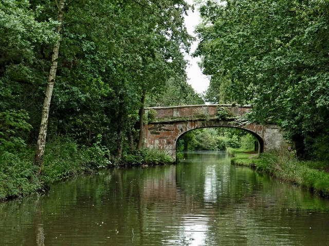
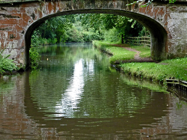
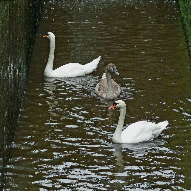
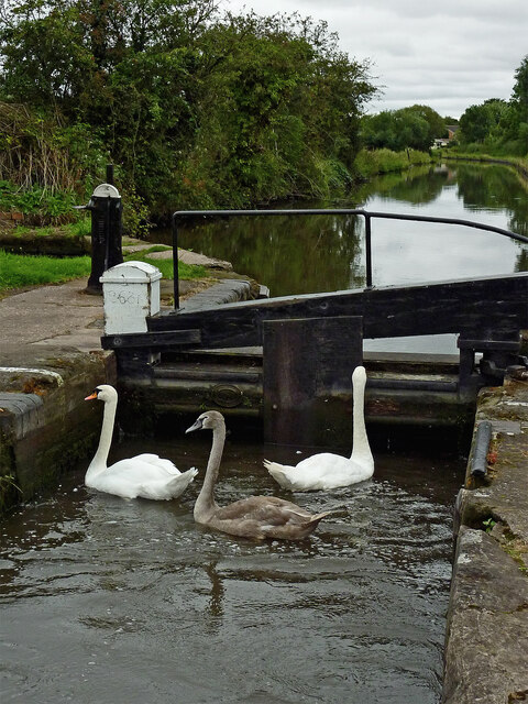
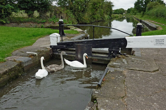
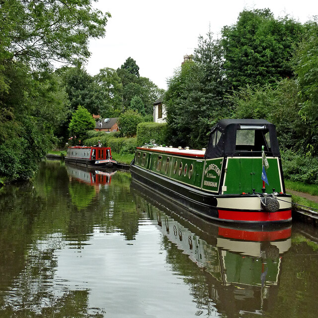
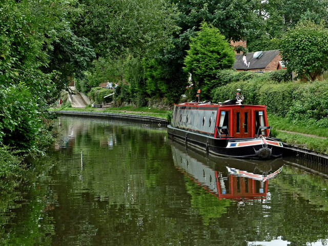
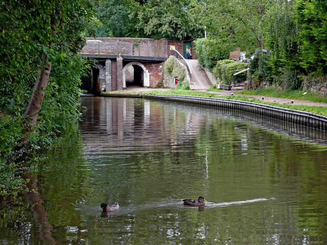
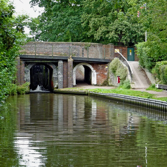
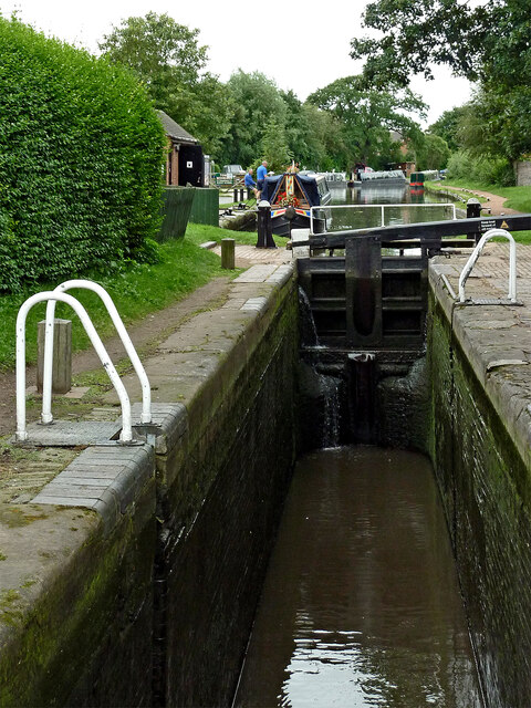
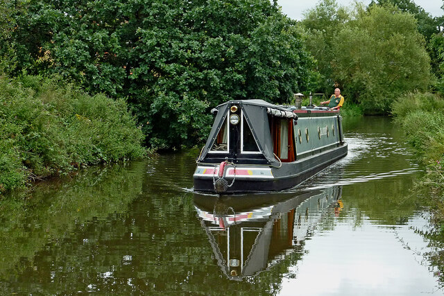
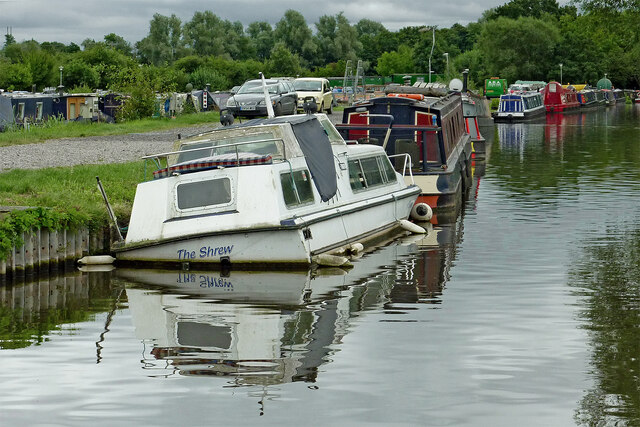
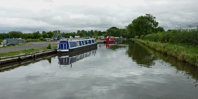
Quarry Heath Images

Images are sourced within 2km of 52.722243/-2.088062 or Grid Reference SJ9413. Thanks to Geograph Open Source API. All images are credited.

Filance Lock near Penkridge in Staffordshire Filance Lock is No 37 on the Staffordshire and Worcestershire Canal near Penkridge, by Templars Way. It proviseds a fall (or rise) of 10ft 3in (about 3·1 metres).
Filance Lock near Penkridge in Staffordshire
Filance Lock is No 37 on the Staffordshire and Worcestershire Canal near Penkridge, by Templars Way. It proviseds a fall (or rise) of 10ft 3in (about 3·1 metres).
Canal cruising near Penkridge in Staffordshire This is the Staffordshire and Worcestershire Canal meandering southwards towards Penkridge and Wolverhampton. The narrowboat is called "Beeston Castle".
Canal cruising near Penkridge in Staffordshire
This is the Staffordshire and Worcestershire Canal meandering southwards towards Penkridge and Wolverhampton. The narrowboat is called "Beeston Castle".
Teddesley Park Bridge near Penkridge in Staffordshire Looking south-south-east towards Penkridge and Wolverhampton.
Teddesley Park Bridge is No 89 across the Staffordshire and Worcestershire Canal. The accommodation bridge carries a farm track and public footpath.
Teddesley Park Bridge near Penkridge in Staffordshire
Looking south-south-east towards Penkridge and Wolverhampton. Teddesley Park Bridge is No 89 across the Staffordshire and Worcestershire Canal. The accommodation bridge carries a farm track and public footpath.
Swans in Longford Lock near Penkridge, Staffordshire These three wanted a free lift up to the next water level.

<a href="https://www.geograph.org.uk/photo/7049547">SJ9314 : Swans using Longford Lock near Penkridge, Staffordshire</a>
Swans in Longford Lock near Penkridge, Staffordshire
These three wanted a free lift up to the next water level. SJ9314 : Swans using Longford Lock near Penkridge, Staffordshire
Mixed usage of Longord Lock near Penkridge The three swans swam into the lock chamber in front of the narrowboat. Despite the turbulence of the water entering the lock through the gate paddles, they showed little sign of distress or concern.

Longford Lock is No 39 on the Staffordshire and Worcestershire Canal, providing a rise (or fall) of ten feet (three metres).


<a href="https://www.geograph.org.uk/photo/7049572">SJ9314 : Longford Lock with swans, north of Penkridge</a>
Mixed usage of Longord Lock near Penkridge
The three swans swam into the lock chamber in front of the narrowboat. Despite the turbulence of the water entering the lock through the gate paddles, they showed little sign of distress or concern. Longford Lock is No 39 on the Staffordshire and Worcestershire Canal, providing a rise (or fall) of ten feet (three metres). SJ9314 : Longford Lock with swans, north of Penkridge
Swans using Longford Lock near Penkridge, Staffordshire Looking south towards Penkridge and Wolverhampton.
The three swans swam into the lock chamber in front of a narrowboat. Despite the turbulence of the water entering the lock through the gate paddles, they showed little sign of distress or concern, and waited patiently for me to open the gate.

Longford Lock is No 39 on the Staffordshire and Worcestershire Canal, providing a rise (or fall) of ten feet (three metres).
Swans using Longford Lock near Penkridge, Staffordshire
Looking south towards Penkridge and Wolverhampton. The three swans swam into the lock chamber in front of a narrowboat. Despite the turbulence of the water entering the lock through the gate paddles, they showed little sign of distress or concern, and waited patiently for me to open the gate. Longford Lock is No 39 on the Staffordshire and Worcestershire Canal, providing a rise (or fall) of ten feet (three metres).
Longford Lock with swans, north of Penkridge Looking south towards Penkridge and Wolverhampton.
The three swans swam into the lock chamber in front of a narrowboat. Despite the initial turbulence of the water entering the lock through the gate paddles, they showed little sign of distress or concern, and are waiting patiently for me to open the gate.

<a href="https://www.geograph.org.uk/photo/7049535">SJ9314 : Mixed usage of Longord Lock near Penkridge</a>

Longford Lock is No 39 on the Staffordshire and Worcestershire Canal, providing a rise (or fall) of ten feet (three metres).
Longford Lock with swans, north of Penkridge
Looking south towards Penkridge and Wolverhampton. The three swans swam into the lock chamber in front of a narrowboat. Despite the initial turbulence of the water entering the lock through the gate paddles, they showed little sign of distress or concern, and are waiting patiently for me to open the gate. SJ9314 : Mixed usage of Longord Lock near Penkridge Longford Lock is No 39 on the Staffordshire and Worcestershire Canal, providing a rise (or fall) of ten feet (three metres).
Housing by the canal near Penkridge in Staffordshire This is the Staffordshire and Worcestershire Canal, looking south-west towards Penkridge Lock. The mobile homes are in Little Marsh Grove.
Housing by the canal near Penkridge in Staffordshire
This is the Staffordshire and Worcestershire Canal, looking south-west towards Penkridge Lock. The mobile homes are in Little Marsh Grove.
Moored narrowboats near Penkridge in Staffordshire This is the Staffordshire and Worcestershire Canal, looking south-west towards Penkridge Lock (just past the bend). There are plenty of visitor moorings here north of Penkridge Lock.
Moored narrowboats near Penkridge in Staffordshire
This is the Staffordshire and Worcestershire Canal, looking south-west towards Penkridge Lock (just past the bend). There are plenty of visitor moorings here north of Penkridge Lock.
Staffordshire and Worcestershire Canal at Penkridge in Staffordshire This is the Staffordshire and Worcestershire Canal, looking south-west towards Penkridge Lock (just past the bend). There are plenty of visitor moorings here north of Penkridge Bridge and Lock.
Staffordshire and Worcestershire Canal at Penkridge in Staffordshire
This is the Staffordshire and Worcestershire Canal, looking south-west towards Penkridge Lock (just past the bend). There are plenty of visitor moorings here north of Penkridge Bridge and Lock.
Canal by Penkridge Bridge, Staffordshire This is the Staffordshire and Worcestershire Canal at Penkridge Bridge (No 86) and Lock (No 38 (just visible). There are plenty of visitor moorings behind the camera. The popular Boat Inn is off to the right.
Canal by Penkridge Bridge, Staffordshire
This is the Staffordshire and Worcestershire Canal at Penkridge Bridge (No 86) and Lock (No 38 (just visible). There are plenty of visitor moorings behind the camera. The popular Boat Inn is off to the right.
Penkridge Bridge and Lock in Staffordshire This is the Staffordshire and Worcestershire Canal at Penkridge Bridge (No 86) and Lock (No 38). There are plenty of visitor moorings behind the camera. The bridge carries Cannock Road. The lock provides a rise of 9ft 3in (2·8 metres), and its tail gates are leaking badly. The popular Boat Inn is off to the right.
Penkridge Bridge and Lock in Staffordshire
This is the Staffordshire and Worcestershire Canal at Penkridge Bridge (No 86) and Lock (No 38). There are plenty of visitor moorings behind the camera. The bridge carries Cannock Road. The lock provides a rise of 9ft 3in (2·8 metres), and its tail gates are leaking badly. The popular Boat Inn is off to the right.
Penkridge Lock in Staffordshire Looking south towards Wolverhampton and Stourport.
Penkridge Lock is No 38 on the Staffordshire and Worcestershire Canal. The lock provides a rise of 9ft 3in (2·8 metres), and has been drained in this image in anticipation of a narrowboat approaching from behind the camera. Contrasting with the bottom gates, the top gate is leaking minimally.
Penkridge Lock in Staffordshire
Looking south towards Wolverhampton and Stourport. Penkridge Lock is No 38 on the Staffordshire and Worcestershire Canal. The lock provides a rise of 9ft 3in (2·8 metres), and has been drained in this image in anticipation of a narrowboat approaching from behind the camera. Contrasting with the bottom gates, the top gate is leaking minimally.
Wading heron south of Penkridge, Staffordshire Unusually this bird decided not to fly off as we passed it on the Staffordshire and Worcestershire Canal. Teveray Drive housing is by the canal, above.
Wading heron south of Penkridge, Staffordshire
Unusually this bird decided not to fly off as we passed it on the Staffordshire and Worcestershire Canal. Teveray Drive housing is by the canal, above.
Canal cruising south of Penkridge in Staffordshire This is the Staffordshire and Worcestershire Canal at the southern edge of Penkridge, looking south-east as the canal meanders towards Wolverhampton and Stourport.
Canal cruising south of Penkridge in Staffordshire
This is the Staffordshire and Worcestershire Canal at the southern edge of Penkridge, looking south-east as the canal meanders towards Wolverhampton and Stourport.
Sunken boat by Otherton Marina near Penkridge A notice on the boat stated that it had been hit by a passing hire boat. Staffordshire and Worcestershire Canal.
Sunken boat by Otherton Marina near Penkridge
A notice on the boat stated that it had been hit by a passing hire boat. Staffordshire and Worcestershire Canal.
Staffordshire and Worcestershire Canal south of Penkridge Looking south-east towards Wolverhampton and Stourport. Otherton Marina is on the left.
Staffordshire and Worcestershire Canal south of Penkridge
Looking south-east towards Wolverhampton and Stourport. Otherton Marina is on the left.
Show me another place!

Quarry Heath is located at Grid Ref: SJ9413 (Lat: 52.722243, Lng: -2.088062)

Administrative County: Staffordshire

District: South Staffordshire

Police Authority: Staffordshire

What 3 Words

///winemaker.camper.cultivation. Near Penkridge, Staffordshire

Nearby Locations

Quarry Heath Pillaton

Related Wikis

Pillaton, Staffordshire

Pillaton is a small village in Staffordshire, England, nearby to Penkridge and lying on the B5012 road between Cannock and Penkridge. It falls under the...

Wolgarston High School

Wolgarston High School is a coeducational upper school and sixth form located in Penkridge, Staffordshire, England. Wolgarston High School is an age 13...
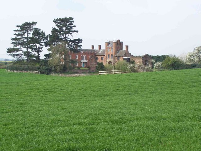
Pillaton Hall

Pillaton Hall was an historic house located in Pillaton, Staffordshire, near Penkridge, England. For more than two centuries it was the seat of the Littleton...

History of Penkridge

Penkridge is a village and parish in Staffordshire with a history stretching back to the Anglo-Saxon period. A religious as well as a commercial centre...

Nearby Amenities

Located within 500m of 52.722243,-2.088062
The data included in this document is from www.openstreetmap.org. The data is made available under ODbL.

Have you been to Quarry Heath?

Leave your review of Quarry Heath below (or comments, questions and feedback).