Pillaton
Settlement in Staffordshire South Staffordshire
England
Pillaton

Pillaton is a small village located in the county of Staffordshire, England. Situated approximately six miles southeast of the town of Stafford, it falls within the Staffordshire Moorlands district. The village is nestled amidst picturesque countryside, with rolling hills and meandering streams adding to its scenic beauty.
With a population of around 500 residents, Pillaton retains its small and close-knit community feel. The village is primarily residential, consisting of a cluster of traditional stone houses and cottages. These properties showcase the charm and character of rural English architecture and are surrounded by well-maintained gardens.
Pillaton benefits from its idyllic location, offering residents and visitors ample opportunities for outdoor activities. The nearby Cannock Chase Area of Outstanding Natural Beauty provides miles of walking and cycling trails through woodland and heathland. Additionally, the River Penk flows nearby, offering angling enthusiasts a chance to relax and enjoy their hobby.
Despite its relatively small size, Pillaton has some essential amenities for its residents. These include a local pub, which serves as a social hub for the village, as well as a village hall that hosts community events and gatherings. The village is also served by a primary school, ensuring that families have access to education within the immediate vicinity.
Overall, Pillaton is a serene and picturesque village, offering residents a peaceful and rural lifestyle while still being within a short distance of the larger towns and cities in Staffordshire. Its natural beauty and strong sense of community make it an appealing place to live for those seeking a quintessential English village experience.
If you have any feedback on the listing, please let us know in the comments section below.
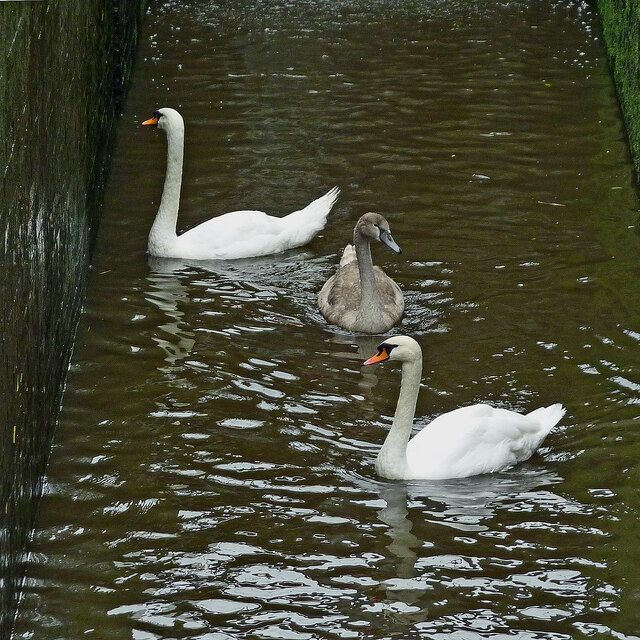
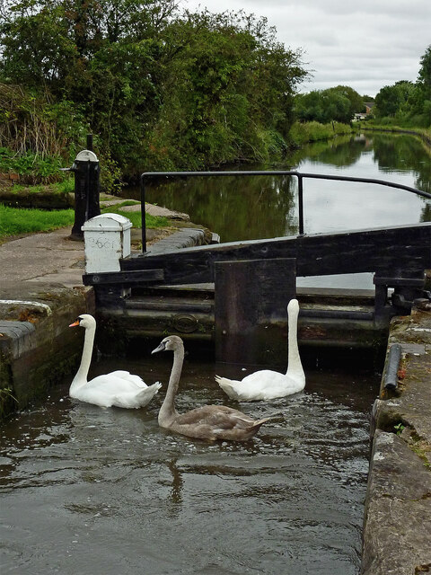
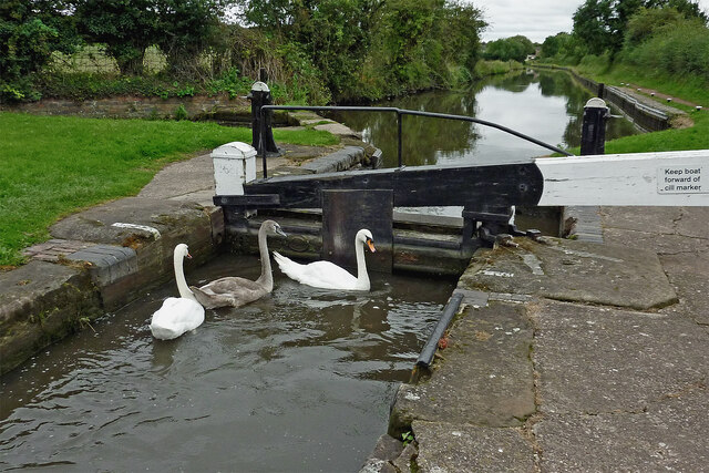
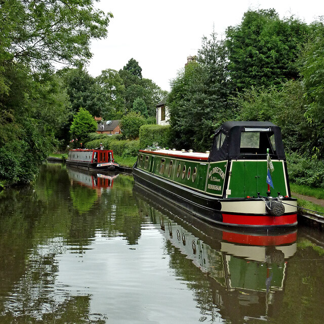
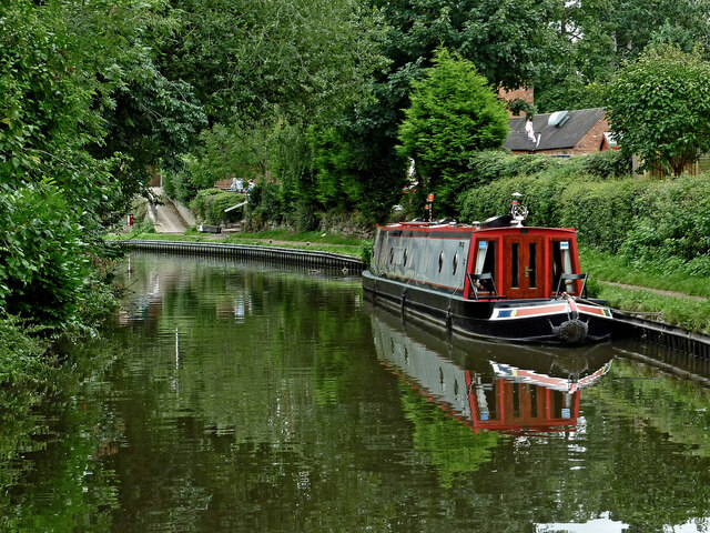
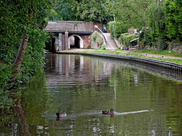
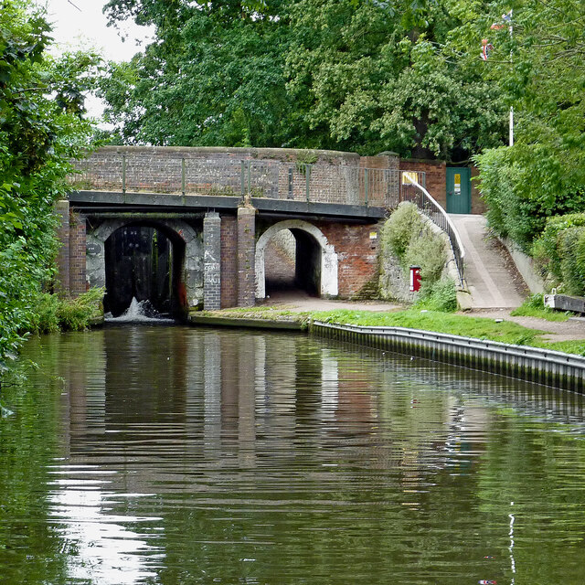
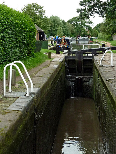
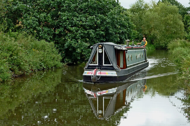
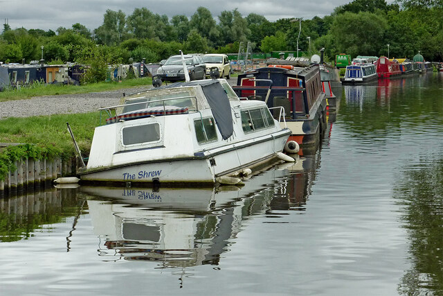
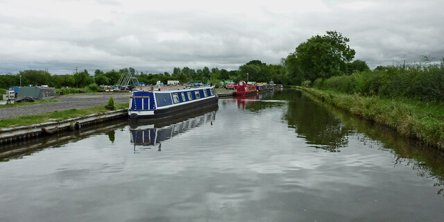
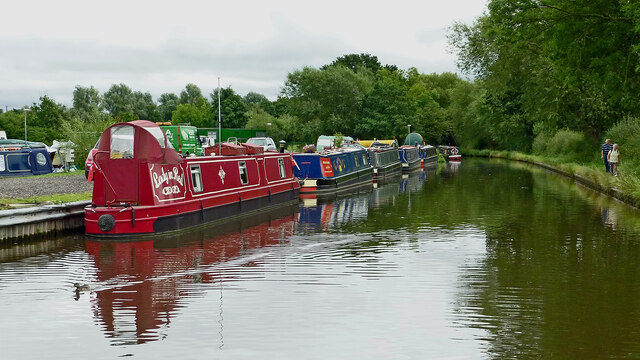
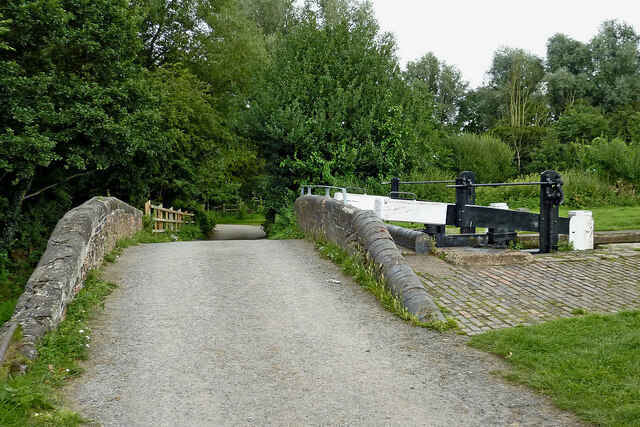
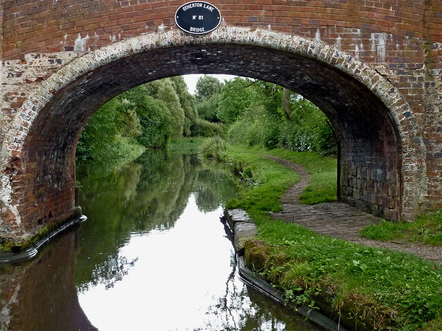
Pillaton Images
Images are sourced within 2km of 52.715051/-2.087308 or Grid Reference SJ9413. Thanks to Geograph Open Source API. All images are credited.


Pillaton is located at Grid Ref: SJ9413 (Lat: 52.715051, Lng: -2.087308)
Administrative County: Staffordshire
District: South Staffordshire
Police Authority: Staffordshire
What 3 Words
///resort.fixture.developed. Near Penkridge, Staffordshire
Nearby Locations
Related Wikis
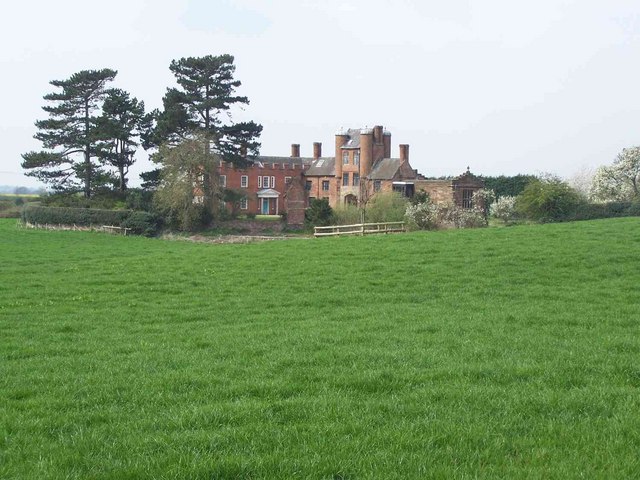
Pillaton Hall
Pillaton Hall was an historic house located in Pillaton, Staffordshire, near Penkridge, England. For more than two centuries it was the seat of the Littleton...

Pillaton, Staffordshire
Pillaton is a small village in Staffordshire, England, nearby to Penkridge and lying on the B5012 road between Cannock and Penkridge. It falls under the...
Wolgarston High School
Wolgarston High School is a coeducational upper school and sixth form located in Penkridge, Staffordshire, England. Wolgarston High School is an age 13...

Cuttleston
Cuttleston or Cuttlestone is a hundred in the county of Staffordshire, England, located in the centre of that county, south of Stafford. Cuttleston was...
Nearby Amenities
Located within 500m of 52.715051,-2.087308Have you been to Pillaton?
Leave your review of Pillaton below (or comments, questions and feedback).