Quadring Eaudike

Settlement in Lincolnshire South Holland

England

Quadring Eaudike

Earthworks on site in Quadring Eaudike: (1)
Earthworks on site in Quadring Eaudike: (1) Credit: Simon Tomson

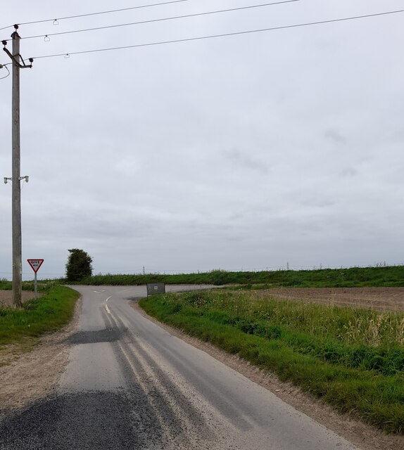
Quadring Eaudike is a small village located in the county of Lincolnshire, England. Situated approximately 5 miles south of the town of Spalding, it lies on the eastern bank of the River Welland.

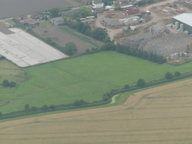
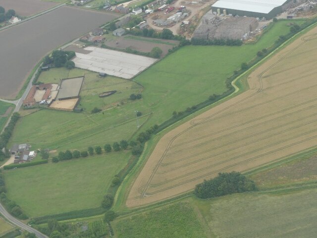
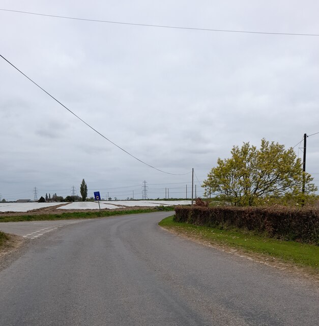
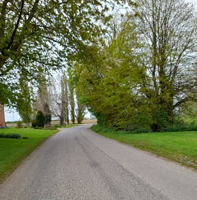
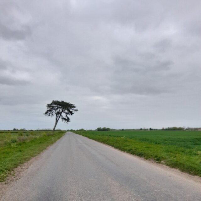
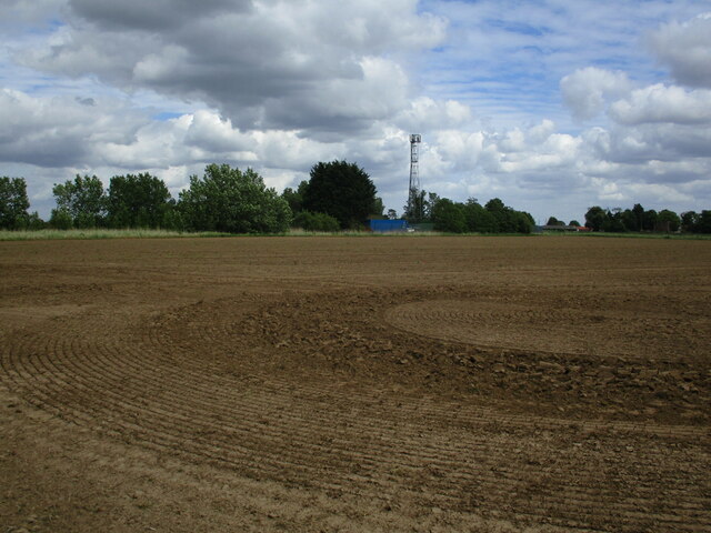
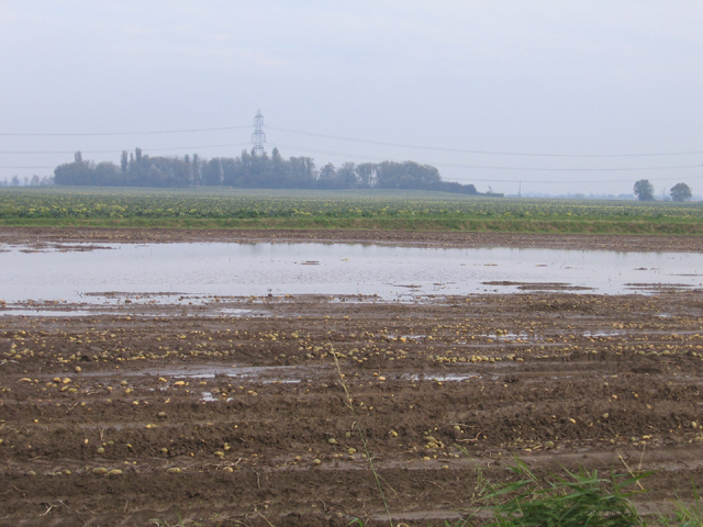
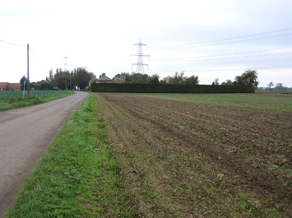
The village is surrounded by picturesque countryside, characterized by flat farmland and drainage ditches. The name "Quadring" is derived from the Old English word "cwead" meaning "a place where four roads meet." Eaudike is believed to be a combination of the Old English word "ea" meaning "river" and "dike" referring to the drainage channels in the area.

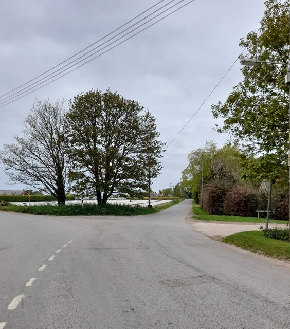
The village has a population of around 500 residents, and it retains a rural charm with a close-knit community feel. The architecture in Quadring Eaudike is predominantly traditional, with a mix of thatched cottages, red-brick houses, and farm buildings.

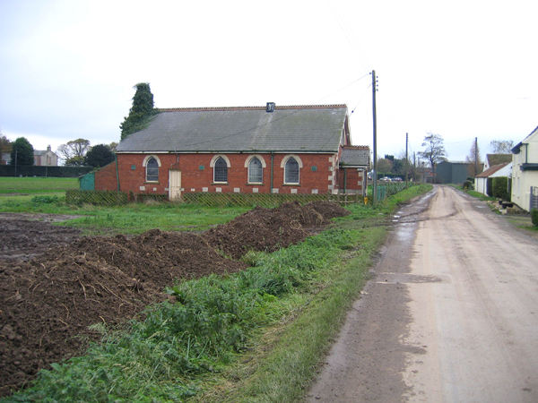
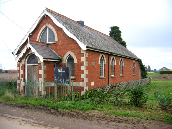
A notable feature of the village is the Parish Church of St. Margaret, which dates back to the 13th century. This historic church, with its impressive tower and stained glass windows, serves as a focal point for the community and holds regular services.

The village offers a limited range of amenities, including a primary school, a pub, and a village hall. However, for more extensive facilities, residents have easy access to nearby towns such as Spalding and Boston.

Quadring Eaudike provides a peaceful countryside setting, making it an attractive place for those seeking a quieter, rural lifestyle while still enjoying the convenience of nearby towns and amenities.

If you have any feedback on the listing, please let us know in the comments section below.

Quadring Eaudike Images

Images are sourced within 2km of 52.885395/-0.148896 or Grid Reference TF2433. Thanks to Geograph Open Source API. All images are credited.

Earthworks on site in Quadring Eaudike: (1)
Earthworks on site in Quadring Eaudike: (2)
Road junction
Road junction
Road junction
Road junction
Road junction
Road junction
Road junction
Road junction
Rushy Drove
Rushy Drove
Rushy Drove
Rushy Drove
Quadring Road, Gosberton Looking towards Quadring.
Quadring Road, Gosberton
Looking towards Quadring.
The Bell Inn, Gosberton Dates from the early nineteenth century <span class="nowrap"><a title="https://historicengland.org.uk/listing/the-list/list-entry/1146579?section=official-list-entry" rel="nofollow ugc noopener" href="https://historicengland.org.uk/listing/the-list/list-entry/1146579?section=official-list-entry">Link</a><img style="margin-left:2px;" alt="External link" title="External link - shift click to open in new window" src="https://s1.geograph.org.uk/img/external.png" width="10" height="10"/></span>
The Bell Inn, Gosberton
Dates from the early nineteenth century LinkExternal link
Prepared field and communications mast near Quadring
Gosberton Church The parish church of Gosberton is dedicated to Saints Peter and Paul.
Gosberton Church
The parish church of Gosberton is dedicated to Saints Peter and Paul.
Sodden tates, Quadring Eaudike, Lincs Undulations in an otherwise flat silt fenland are salterns or salt hills; localised flooding in the intervening hollows has occurred after heavy autumn rainfall on a harvested potato field.
Sodden tates, Quadring Eaudike, Lincs
Undulations in an otherwise flat silt fenland are salterns or salt hills; localised flooding in the intervening hollows has occurred after heavy autumn rainfall on a harvested potato field.
Quadring Eaudike, Lincs View S along Watergate with the United Methodist Church; soil gathered with the potato harvest is being returned to the field.
Quadring Eaudike, Lincs
View S along Watergate with the United Methodist Church; soil gathered with the potato harvest is being returned to the field.
United Methodist Church, Quadring Eaudike, Lincs In Watergate, fronted by the curious sign 'Welcome to the Chapel of Unrest'!
United Methodist Church, Quadring Eaudike, Lincs
In Watergate, fronted by the curious sign 'Welcome to the Chapel of Unrest'!
Rushy Drove, Quadring Eaudike, Lincs View N towards Pond Farm along the sea bank of the former tidal inlet, Bicker Haven (on the right).
Rushy Drove, Quadring Eaudike, Lincs
View N towards Pond Farm along the sea bank of the former tidal inlet, Bicker Haven (on the right).
Large field of broccoli, Quadring Eaudike, Lincs Appearing at a supermarket near you soon.
Large field of broccoli, Quadring Eaudike, Lincs
Appearing at a supermarket near you soon.
Rushy Drove–Wykes Road junction, Donington, Lincs Local landmark of leaning trees and cauliflower fields near Redhouse Farm.
Rushy Drove–Wykes Road junction, Donington, Lincs
Local landmark of leaning trees and cauliflower fields near Redhouse Farm.
Show me another place!

Quadring Eaudike is located at Grid Ref: TF2433 (Lat: 52.885395, Lng: -0.148896)

Division: Parts of Holland

Administrative County: Lincolnshire

District: South Holland

Police Authority: Lincolnshire

What 3 Words

///encroach.retrieves.bronze. Near Gosberton, Lincolnshire

Nearby Locations

Quadring Eaudike

Related Wikis

Quadring Eaudike

Quadring Eaudike is a hamlet in the South Holland district of Lincolnshire, England. It lies approximately 1 mile (2 km) east from the A152 road, and 2...

A152 road

The A152 is a small non-primary A-road in Lincolnshire, from Donington to Surfleet linking the A52 and the A16, two major primary routes. Between Donington...

Burtoft

Burtoft is a hamlet in the civil parish of Wigtoft, Lincolnshire, England, approximately 7 miles (11 km) southwest of the market town of Boston.Burtoft...

Quadring

Quadring is a small village and civil parish in the South Holland district of Lincolnshire. It lies on the A152, 2 miles (3.2 km) north-east of Gosberton...

Wigtoft

Wigtoft is a village and civil parish in Lincolnshire, England. It is situated on the A17 road, 6 miles (10 km) geographically south-west from Boston,...

Asperton

Asperton is a village in Lincolnshire, England. == External links == Media related to Asperton at Wikimedia Commons

Westhorpe, Lincolnshire

Westhorpe is a hamlet in the civil parish of Gosberton and the South Holland district of Lincolnshire, England. It is 30 miles (50 km) south-east from...

Donington, Lincolnshire

Donington is a large village and civil parish in the South Holland district of Lincolnshire, England. It is 8 miles (13 km) north from the market town...

Nearby Amenities

Located within 500m of 52.885395,-0.148896
Eaudike Farm
Place: farm
Source: Bing
Lat/Long: 52.8841016/-0.1497754
Quadring Eaudike
Place: hamlet
Source: Bing
Wikidata: Q18161915
Lat/Long: 52.8851438/-0.1490845
Willow Farm
Place: farm
Source: Bing
Lat/Long: 52.887085/-0.1545252
Yew Tree Farm
Place: farm
Source: Bing
Lat/Long: 52.8857171/-0.1472277
The Laurels
Place: isolated_dwelling
Lat/Long: 52.888627/-0.1532972
The data included in this document is from www.openstreetmap.org. The data is made available under ODbL.

Have you been to Quadring Eaudike?

Leave your review of Quadring Eaudike below (or comments, questions and feedback).