Bishopsworth
Settlement in Somerset
England
Bishopsworth
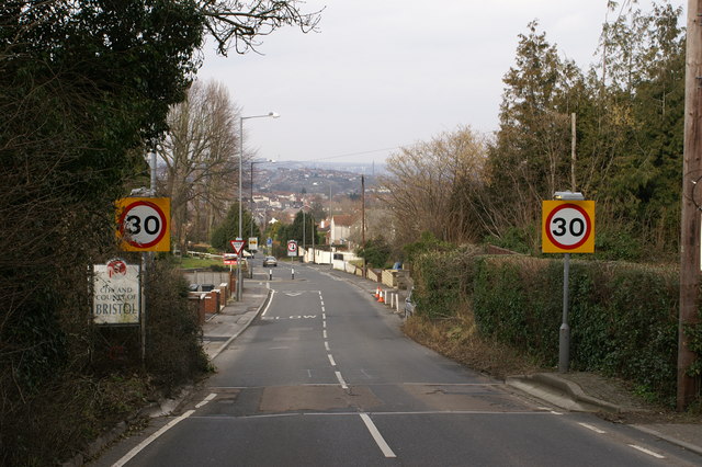
Bishopsworth is a small village located in the county of Somerset, England. Situated approximately 4 miles south of the city of Bristol, it falls within the Bristol City Council local authority area. The village is surrounded by picturesque countryside, offering residents and visitors a tranquil escape from the bustling city life.
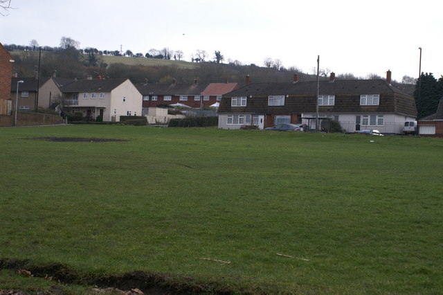
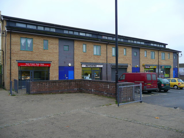
Bishopsworth is a close-knit community with a population of around 8,000 people. The village boasts a range of amenities, including a primary school, a community center, and a few shops and local businesses that cater to the daily needs of its residents. Additionally, there are several pubs and restaurants that provide a friendly atmosphere for locals and tourists alike.
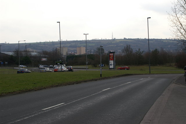
Transportation links in Bishopsworth are well-developed, with regular bus services connecting the village to nearby towns and cities. The village also benefits from its proximity to the A38 road, which provides easy access to Bristol and the wider region.
For nature enthusiasts, Bishopsworth offers ample opportunities to explore the beautiful countryside. There are several walking and cycling routes in the area, allowing visitors to enjoy the stunning landscapes and wildlife that Somerset is known for. Additionally, the nearby Chew Valley Lake provides a popular spot for water-based activities such as fishing, sailing, and bird-watching.
In summary, Bishopsworth is a peaceful village nestled in the heart of Somerset. With its friendly community, convenient amenities, and natural beauty, it offers a desirable living environment for its residents and a charming destination for visitors.
If you have any feedback on the listing, please let us know in the comments section below.
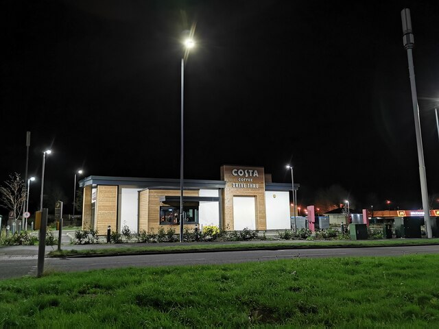
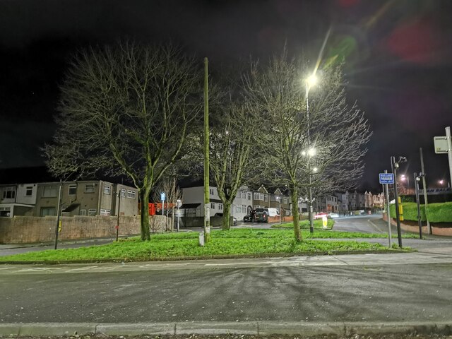
Bishopsworth Images
Images are sourced within 2km of 51.415846/-2.6165115 or Grid Reference ST5768. Thanks to Geograph Open Source API. All images are credited.
Bishopsworth is located at Grid Ref: ST5768 (Lat: 51.415846, Lng: -2.6165115)
Unitary Authority: Bristol
Police Authority: Avon and Somerset
What 3 Words
///family.acid.dress. Near Bishopsworth, Bristol
Nearby Locations
Related Wikis

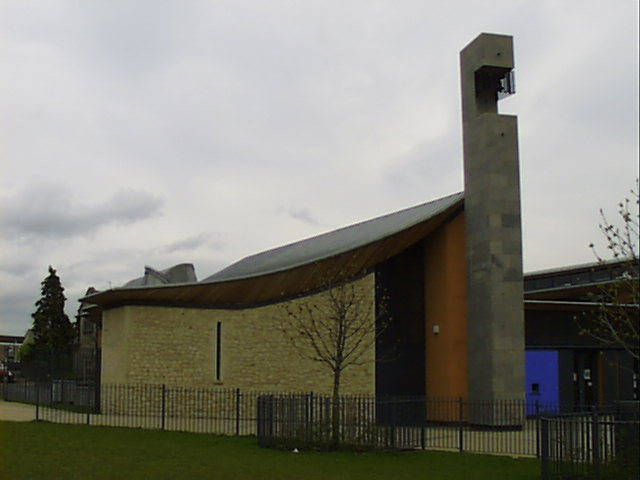
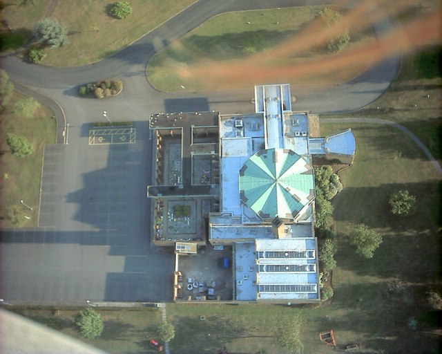
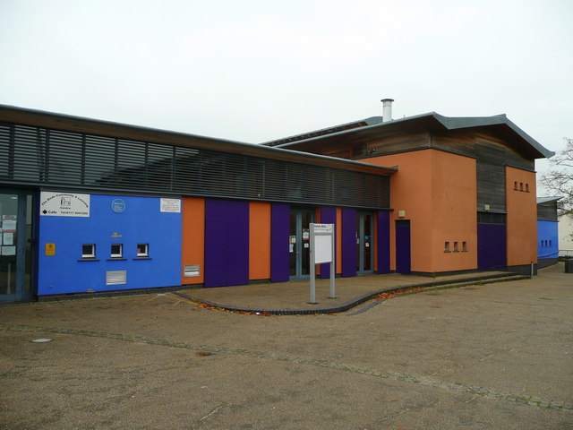
Campus Pool
Campus Pool is a skatepark and former swimming pool in Bishopsworth, Bristol, UK. == History == The former Bishopsworth Swimming Pool closed in 2012, following...

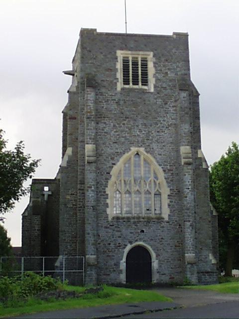
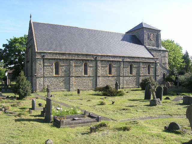
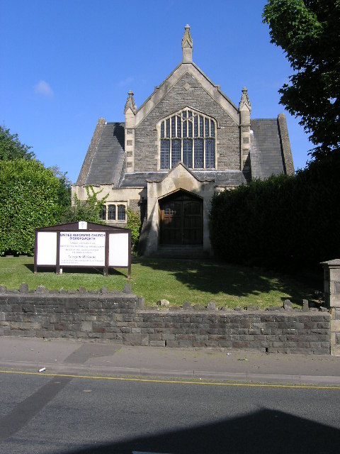
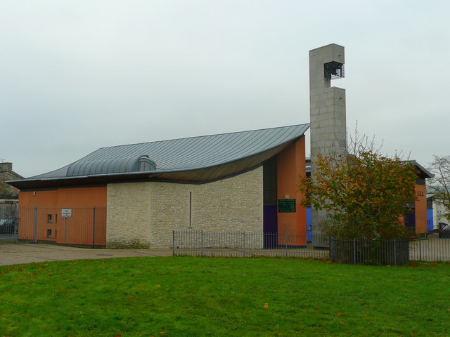
St Peter's Church, Bishopsworth
St Peter's (grid reference ST570686) is a Neo Norman style church in Bishopsworth, Bristol, England. == History == The first church in Bishopsworth was...

Bishopsworth
Bishopsworth is the name of both a council ward of the city of Bristol in the United Kingdom, and a suburb of the city which lies within that ward. Bishopsworth...
Merchants' Academy
Merchants' Academy is an independent academy in Withywood, Bristol, England. The school is funded by Bristol City Council and sponsored by the Society...

Bedminster Down School
Bedminster Down School is a mixed gender secondary school with academy status, located in the Bishopsworth area of Bristol, England. == History == The...

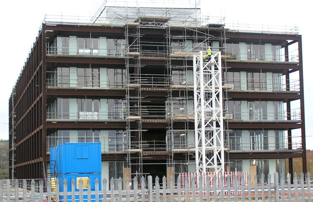
Lakeshore, Bristol
Lakeshore is a development of flats in the Bishopsworth area of south Bristol, England. It is a Grade II listed building. The building uses a structure...

Hartcliffe
Hartcliffe is the name of both a council ward and an Outer Suburb of the city of Bristol in the United Kingdom which lies within that ward. The ward contains...
Holy Cross Inns Court Vicarage
The Holy Cross Inns Court Vicarage (grid reference ST587691) is in the Knowle West area of Bristol, England. It was built in the 15th century. The surviving...
Nearby Amenities
Located within 500m of 51.415846,-2.6165115Have you been to Bishopsworth?
Leave your review of Bishopsworth below (or comments, questions and feedback).