Bishopstone
Settlement in Herefordshire
England
Bishopstone

Bishopstone is a small village located in the county of Herefordshire, England. It is situated approximately 9 miles south of the city of Hereford and lies within the Golden Valley, surrounded by picturesque countryside. The village is part of the civil parish of Dorstone.
The history of Bishopstone can be traced back to medieval times, with evidence of human settlement in the area dating back to the Roman era. The village is named after its former association with the bishops of Hereford, who owned land in the region.
Today, Bishopstone is a peaceful and charming village with a population of around 200 residents. It has retained much of its rural character, with a mix of traditional stone cottages and newer residential properties. The village is known for its idyllic setting, offering stunning views of the surrounding hills and valleys.
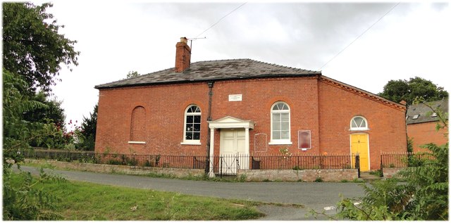
While Bishopstone is primarily a residential community, it does offer some amenities for its residents. These include a village hall, where various community events and activities take place, and a local pub that serves as a social hub for villagers and visitors alike.
The village is also conveniently located for outdoor enthusiasts, with an abundance of walking and cycling trails in the nearby countryside. Additionally, the larger town of Hereford is within easy reach, providing access to a wider range of amenities, including shops, restaurants, and leisure facilities.
In summary, Bishopstone is a tranquil village in Herefordshire, known for its natural beauty, rich history, and close-knit community.
If you have any feedback on the listing, please let us know in the comments section below.
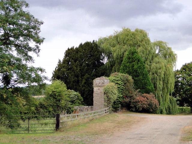
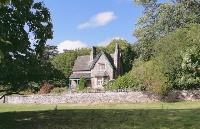
Bishopstone Images
Images are sourced within 2km of 52.08334/-2.8485426 or Grid Reference SO4143. Thanks to Geograph Open Source API. All images are credited.


Bishopstone is located at Grid Ref: SO4143 (Lat: 52.08334, Lng: -2.8485426)
Unitary Authority: County of Herefordshire
Police Authority: West Mercia
What 3 Words
///earphones.parks.helps. Near Bridge Sollers, Herefordshire
Nearby Locations
Related Wikis

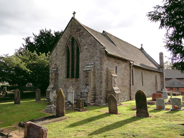
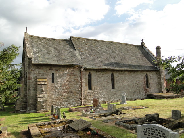
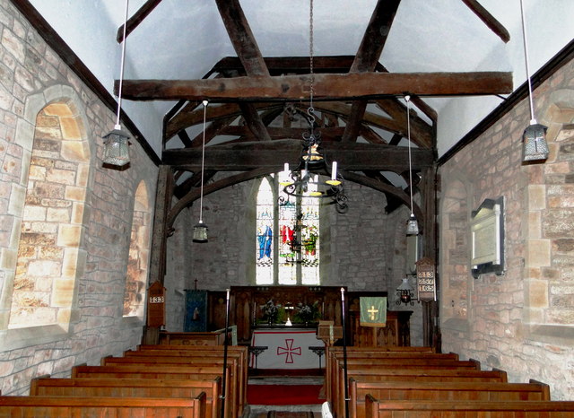
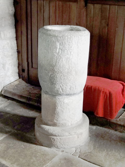
Bishopstone, Herefordshire
Bishopstone is a village and civil parish in Herefordshire, England, 10 km (6.2 mi) west of Hereford, near the River Wye and the Roman town of Magnis....

Bridge Sollers
Bridge Sollers is a village and civil parish in Herefordshire, England, 10 km (6.2 mi) west of Hereford, on the River Wye. The village consists of 12 households...

Mansel Lacy
Mansel Lacy (alternatively spelled Mansell Lacy) is a small village and civil parish in Herefordshire, England. It is 7 miles (11 km) north west of Hereford...
Kenchester
Kenchester is a parish in Herefordshire, England. It is about 5.5 miles (9 km) west-northwest of Hereford. Kenchester is near the Romano-British town of...

The Weir Garden
The Weir Garden is a National Trust property near Swainshill (see Stretton Sugwas), Herefordshire, lying alongside the River Wye 5 mi (8.0 km) west of...

Magnis (Kenchester)
Magnae, sometimes Magnae Dobunnorum (Latin for "The Greats of the Dobunni") to distinguish it from the Magnae of the Carvetii on Hadrian's Wall in northern...

Byford
Byford is a village and civil parish on the River Wye in Herefordshire, England, about 11 km (7 mi) west of Hereford. According to the 2001 census, it...
Westmoor Flag railway station
Westmoor Flag railway station was a private station to the west of Mansel Lacy, Herefordshire, England. The station was opened in 1863 and may have closed...
Related Videos
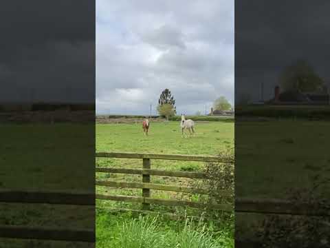
Horsey Hello
Making one of my deliveries today and the horses in the front field came over to say hello.

How to replace Vacuum hoses on a 1997 Volvo V70 T5
As part of the restoration of his Volvo V70 t5 in a series called 'Sams T5 story' , 14 year old Sam replaces the vacuums hoses on ...
Parrot Disco flight and crash.
Conditions looked pretty good during setup. As soon as the aircraft had left my hand the wind came up. Started gusting quite hard.
Nearby Amenities
Located within 500m of 52.08334,-2.8485426Have you been to Bishopstone?
Leave your review of Bishopstone below (or comments, questions and feedback).