Pound Green
Settlement in Sussex Wealdon
England
Pound Green

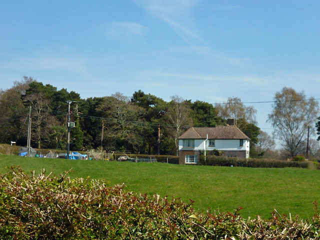
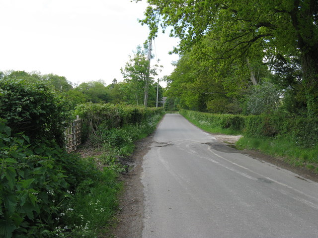
Pound Green is a picturesque village located in the county of Sussex, England. Situated in the South East region of the country, it lies approximately 7 miles south of the historic town of Lewes. The village is nestled amidst the beautiful South Downs National Park, offering residents and visitors access to stunning natural landscapes.
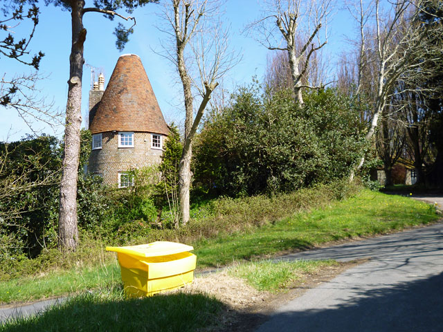
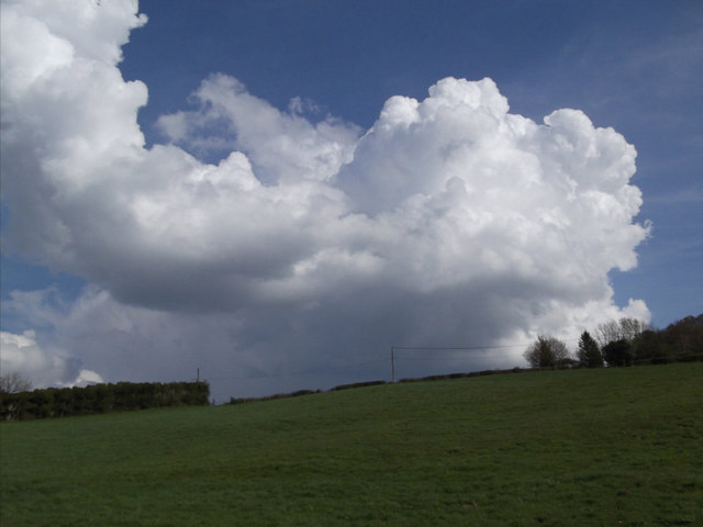
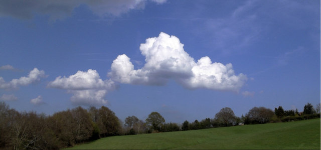
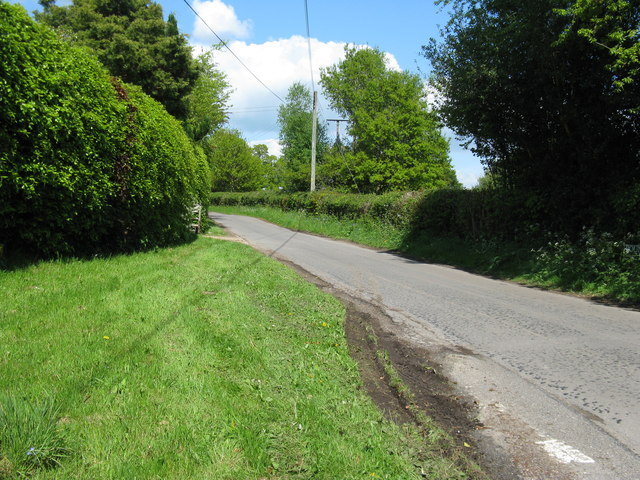
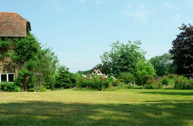
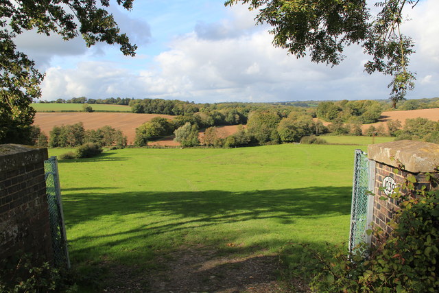
Known for its idyllic rural setting, Pound Green boasts a charming collection of traditional cottages and farmhouses, many of which date back several centuries. The village is surrounded by rolling hills, verdant fields, and lush woodland, providing ample opportunities for outdoor activities such as hiking, cycling, and horse riding.
Despite its tranquil ambiance, Pound Green is well-connected to larger towns and cities in the area. The nearby A27 road offers easy access to Brighton, which is approximately 12 miles to the southeast, and the vibrant city of London is just over 50 miles away. This accessibility makes Pound Green an attractive place to live for those seeking a peaceful countryside lifestyle while remaining within commuting distance of urban amenities.
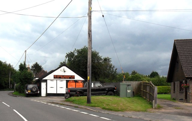
The village itself has limited amenities, with a small local pub and a village hall serving as the focal points of community life. However, a wider range of services and facilities can be found in the surrounding towns and villages, ensuring that residents have access to essentials such as shops, schools, and healthcare.
In summary, Pound Green is a quintessential Sussex village, offering a tranquil and picturesque escape from the hustle and bustle of city life. With its stunning natural surroundings and convenient location, it is an attractive place to live for those seeking a balance between rural charm and accessibility to larger towns and cities.
If you have any feedback on the listing, please let us know in the comments section below.
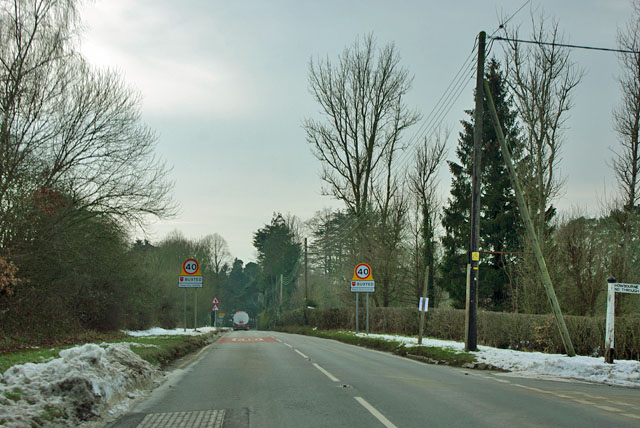
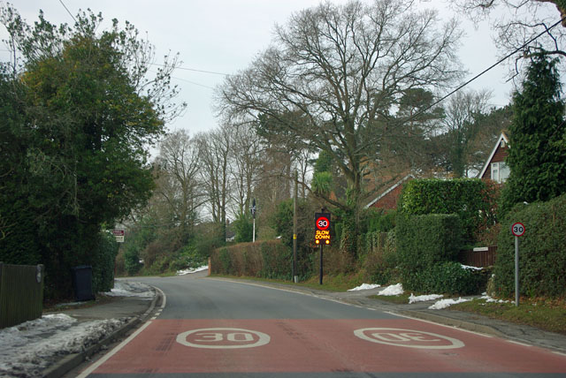
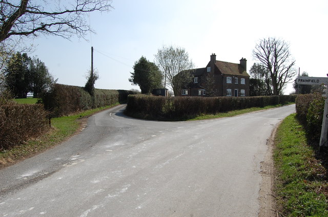
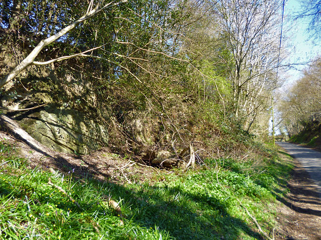
Pound Green Images
Images are sourced within 2km of 50.992182/0.14892391 or Grid Reference TQ5023. Thanks to Geograph Open Source API. All images are credited.
Pound Green is located at Grid Ref: TQ5023 (Lat: 50.992182, Lng: 0.14892391)
Administrative County: East Sussex
District: Wealdon
Police Authority: Sussex
What 3 Words
///imparts.sugar.defrost. Near Buxted, East Sussex
Nearby Locations
Related Wikis

Vanguard Way
The Vanguard Way is a long-distance walk of 66.2 mi (106.5 km) from East Croydon station in outer London (OS grid reference TQ328658), travelling from...
Etchingwood
Etchingwood is a small cluster of mostly detached properties and farms within the civil parish of Buxted in the Wealden district of East Sussex, England...

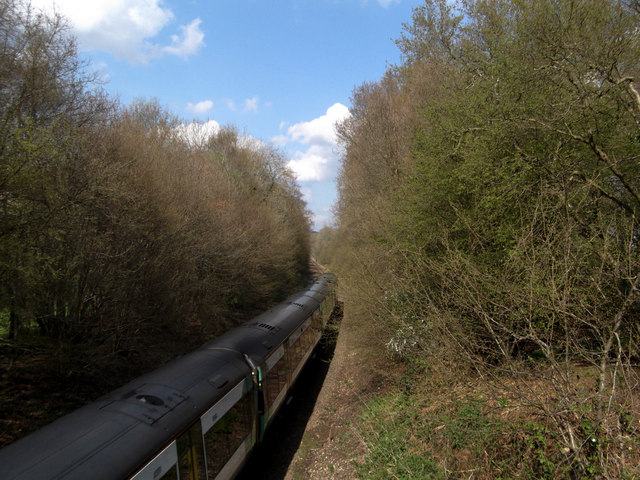
Buxted railway station
Buxted railway station is on the Uckfield branch of the Oxted Line in England, serving the village of Buxted, East Sussex. It is 43 miles 68 chains (70...

Buxted
Buxted is a village and civil parish in the Wealden district of East Sussex in England. The parish is situated on the Weald, north of Uckfield; the settlements...

St Mark's Church, Hadlow Down
St Mark's Church (dedicated to St Mark the Evangelist) is an Anglican church in the village of Hadlow Down in the district of Wealden, one of six local...

Stockland Farm Meadows
Stockland Farm Meadows is a 5.8-hectare (14-acre) biological Site of Special Scientific Interest south of Crowborough in East Sussex.These two species...

Five Ash Down Independent Chapel
Five Ash Down Independent Chapel is an independent Evangelical church in the Reformed (Calvinist) tradition in the hamlet of Five Ash Down, East Sussex...

Providence Chapel, Hadlow Down
Providence Chapel is a former independent Calvinistic place of worship in the village of Hadlow Down in Wealden, one of six local government districts...
Nearby Amenities
Located within 500m of 50.992182,0.14892391Have you been to Pound Green?
Leave your review of Pound Green below (or comments, questions and feedback).