Potterhanworth Booths

Settlement in Lincolnshire North Kesteven

England

Potterhanworth Booths

Country road near Potterhanworth The road ends shortly.
Country road near Potterhanworth Credit: Stephen Richards

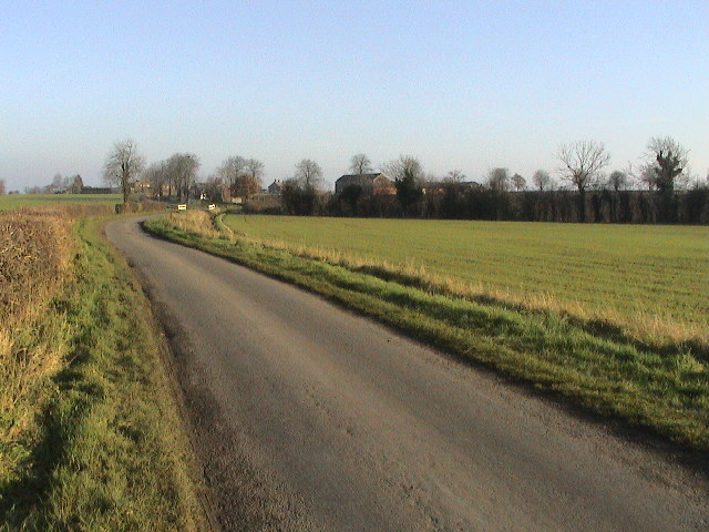
Potterhanworth Booths is a small village located in the county of Lincolnshire, England. Situated approximately 10 miles southeast of the city of Lincoln, it is part of the North Kesteven district. The village is surrounded by picturesque countryside and offers a peaceful and idyllic setting.

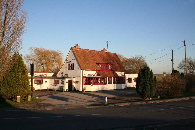
The history of Potterhanworth Booths can be traced back to medieval times when it was a thriving agricultural community. Today, it retains much of its rural charm and is known for its beautiful landscapes and traditional architecture. The village is home to a mix of old cottages and newer houses, with a small population of around 400 residents.

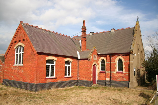
Despite its small size, Potterhanworth Booths has a strong sense of community, with a village hall that hosts a variety of events and activities throughout the year. The village also has a primary school, which serves the local children and provides a central hub for families in the area.

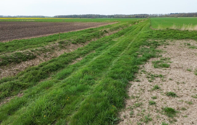
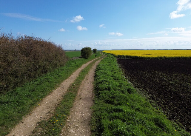
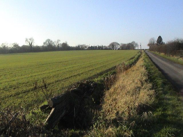
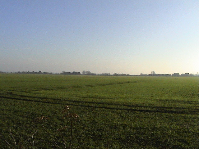
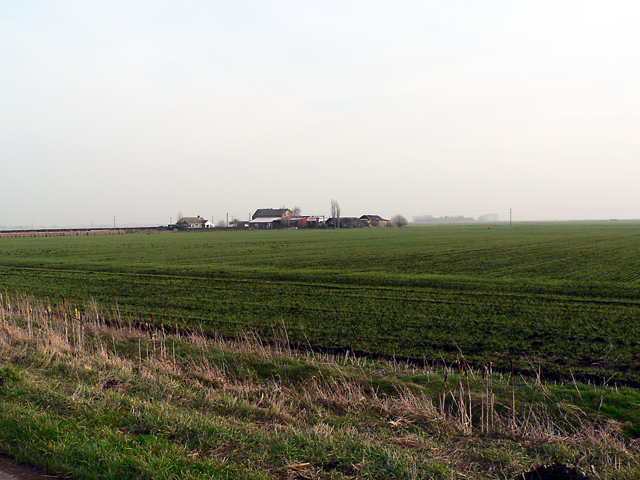
Surrounding the village are several farms, where agriculture still plays a significant role in the local economy. The fertile land surrounding Potterhanworth Booths is used for growing crops and raising livestock, contributing to the region's agricultural heritage.

For those seeking outdoor pursuits, the village is located near several nature reserves and walking trails, offering opportunities for exploration and enjoying the natural beauty of the Lincolnshire countryside. With its peaceful atmosphere, rich history, and stunning landscapes, Potterhanworth Booths is a charming destination for those looking to escape the hustle and bustle of city life.

If you have any feedback on the listing, please let us know in the comments section below.

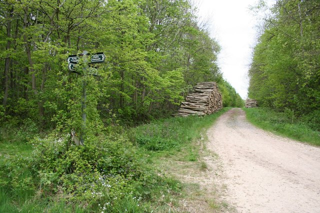
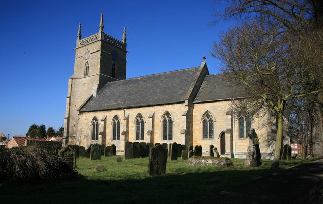
Potterhanworth Booths Images

Images are sourced within 2km of 53.197274/-0.395215 or Grid Reference TF0767. Thanks to Geograph Open Source API. All images are credited.

Country road near Potterhanworth The road ends shortly.
Country road near Potterhanworth
The road ends shortly.
Bridge over Fox's drain, Potterhanworth Fen
Drain and Track, Potterhanworth Fen Potterhanworth Wood in the distance.
Drain and Track, Potterhanworth Fen
Potterhanworth Wood in the distance.
Drain with reeds, Potterhanworth Fen
Track to Potterhanworth Fen
Partly harvested field, Branston Fen
Branston Booths Looking E on Moor Lane. The road crosses a white-railed bridge over a drain, with the hamlet of Branston Booths in the background.
Branston Booths
Looking E on Moor Lane. The road crosses a white-railed bridge over a drain, with the hamlet of Branston Booths in the background.
Branston Moor Looking WSW up Moor Lane, with Moorland Farm in the trees on the skyline.
Branston Moor
Looking WSW up Moor Lane, with Moorland Farm in the trees on the skyline.
Flat Screen Looking E across virtually the entire grid square. Roofs of White House Farm, Branston Booths can be seen on the right horizon.
Flat Screen
Looking E across virtually the entire grid square. Roofs of White House Farm, Branston Booths can be seen on the right horizon.
Branston Fen Red House Farm from North Causeway
Branston Fen
Red House Farm from North Causeway
The Plough Inn At the foot of the hill at Potterhanworth Booths, the Plough Inn is the only pub for miles
The Plough Inn
At the foot of the hill at Potterhanworth Booths, the Plough Inn is the only pub for miles
Branston Booths Wesleyan Chapel Built in 1911, now redundant and for sale
Branston Booths Wesleyan Chapel
Built in 1911, now redundant and for sale
The B1190 - "Bardney Causeway" The road runs for 4 kilometres across the fenland - almost dead straight. Raised above the surrounding land, there are deep drains on each side. Subsidence has caused slight undulations. High speed is tempting, but quite a few cars have ended up in the fields or the drains.
The B1190 - "Bardney Causeway"
The road runs for 4 kilometres across the fenland - almost dead straight. Raised above the surrounding land, there are deep drains on each side. Subsidence has caused slight undulations. High speed is tempting, but quite a few cars have ended up in the fields or the drains.
POW camp Potterhanworth prisoner of war camp, a relic of WW2 that once housed German and Italian POWs
POW camp
Potterhanworth prisoner of war camp, a relic of WW2 that once housed German and Italian POWs
Potterhanworth Camp POW camp, disused since WW2 near Potterhanworth
Potterhanworth Camp
POW camp, disused since WW2 near Potterhanworth
Moor Lane near Potterhanworth
Moor Lane
near Potterhanworth
Branston Moor
Branston Moor
Branston Moor Lane View west near Moor Farm
Branston Moor Lane
View west near Moor Farm
Show me another place!

Potterhanworth Booths is located at Grid Ref: TF0767 (Lat: 53.197274, Lng: -0.395215)

Division: Parts of Kesteven

Administrative County: Lincolnshire

District: North Kesteven

Police Authority: Lincolnshire

What 3 Words

///cherish.this.situation. Near Heighington, Lincolnshire

Nearby Locations

Potterhanworth Booths

Related Wikis

Potterhanworth Booths

Potterhanworth Booths is a hamlet in the North Kesteven district of Lincolnshire, England. It is situated 6 miles (10 km) south-east from Lincoln, and...

Potterhanworth Wood

Potterhanworth Wood (grid reference TF070670) is a 32.0 hectare woodland, close to the village of Potterhanworth in North Kesteven, Lincolnshire, England...

Branston Booths

Branston Booths is a small village in the North Kesteven district of Lincolnshire, England. The village is situated approximately 5 miles (8 km) east from...

Potterhanworth

Potterhanworth is a village and civil parish in the North Kesteven district of Lincolnshire, England. The population of the civil parish at the 2011 census...

Nearby Amenities

Located within 500m of 53.197274,-0.395215
Potterhanworth Booths
Is In: Lincolnshire, England, UK
Place: hamlet
Source: NPE
Lat/Long: 53.1977182/-0.395363
Bus Stop
The Plough Inn
Naptan AtcoCode: 270000009998
Naptan Bearing: NW
Naptan CommonName: The Plough Inn
Naptan Indicator: opp
Naptan Landmark: The Plough Inn
Naptan NaptanCode: linjgmtj
Naptan Street: B1190
Naptan Verified: no
Source: naptan_import
Lat/Long: 53.1975771/-0.3949998
Bus Stop
The Plough Inn
Naptan AtcoCode: 2700LPB01220
Naptan Bearing: SE
Naptan CommonName: The Plough Inn
Naptan Indicator: adj
Naptan Landmark: The Plough Inn
Naptan NaptanCode: linajgpj
Naptan Street: B1190
Naptan Verified: no
Source: naptan_import
Lat/Long: 53.1976384/-0.3948777
Power: pole
Source: Bing
Lat/Long: 53.1961982/-0.391514
Power: pole
Lat/Long: 53.1952156/-0.3972405
Power: pole
Lat/Long: 53.1962801/-0.3985923
Power: pole
Source: Bing
Lat/Long: 53.1966932/-0.3887271
Power: pole
Lat/Long: 53.1957033/-0.3943947
Power: pole
Lat/Long: 53.1957708/-0.3979392
Power: pole
Source: Bing
Lat/Long: 53.1959557/-0.3929461
Power: pole
Lat/Long: 53.1945535/-0.3999455
Power: pole
Source: Bing
Lat/Long: 53.196444/-0.3900924
Power: pole
Lat/Long: 53.1954622/-0.3958082
Power: pole
Lat/Long: 53.1949633/-0.398713
Power: pole
Lat/Long: 53.1936594/-0.3996598
Power: pole
Lat/Long: 53.1975752/-0.3892368
Power: pole
Lat/Long: 53.1971189/-0.3889699
Power: pole
Lat/Long: 53.1979882/-0.3894728
Willow Farm
Place: farm
Source: Bing
Lat/Long: 53.1987964/-0.3894851
Poplar Farm
Place: farm
Source: Bing
Lat/Long: 53.1962599/-0.3967425
Wood Houses
Place: isolated_dwelling
Source: Bing
Lat/Long: 53.1937802/-0.3991603
Power: pole
Lat/Long: 53.1986678/-0.4016018
Power: pole
Lat/Long: 53.1978901/-0.4005933
Power: pole
Lat/Long: 53.1970867/-0.3996062
The data included in this document is from www.openstreetmap.org. The data is made available under ODbL.

Have you been to Potterhanworth Booths?

Leave your review of Potterhanworth Booths below (or comments, questions and feedback).