Potter Street
Settlement in Essex Harlow
England
Potter Street
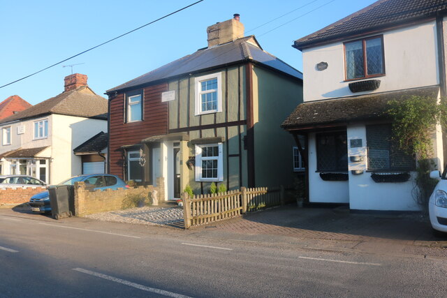
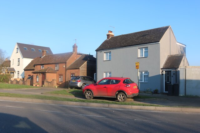
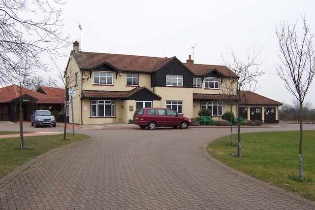
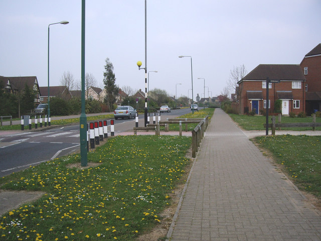
Potter Street is a bustling neighborhood located in Harlow, Essex, England. Situated approximately 30 miles northeast of London, it offers a mix of residential, commercial, and industrial areas. The street itself runs through the heart of the neighborhood, connecting various local amenities and serving as a major thoroughfare.
Residential properties in Potter Street primarily consist of terraced and semi-detached houses, offering a range of housing options for families and individuals alike. The neighborhood benefits from its proximity to Harlow Town Centre, which provides residents with access to a wide variety of amenities, including shops, restaurants, and leisure facilities.
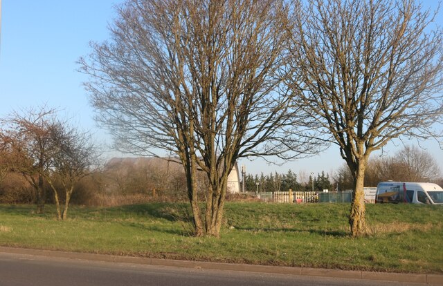
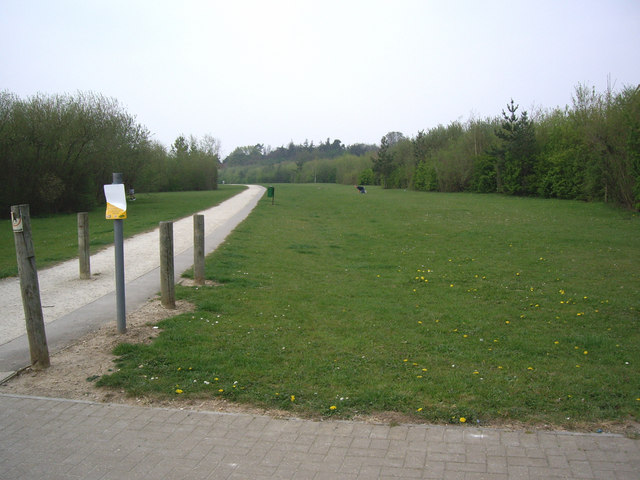
One notable feature of Potter Street is its strong sense of community. Local initiatives and events, such as street parties and community clean-up days, are common occurrences, fostering a friendly and welcoming atmosphere. The neighborhood also boasts several green spaces, such as the nearby Harlow Town Park, providing residents with opportunities for outdoor activities and relaxation.
In addition to its residential character, Potter Street is home to a number of businesses and industrial estates, contributing to the local economy. These establishments range from small independent shops and services to larger warehouses and distribution centers.
Transportation in Potter Street is well-served by several bus routes, offering convenient access to nearby towns and cities. The neighborhood is also situated near major road links, including the M11 and A414, providing easy access to London, Cambridge, and other destinations.
Overall, Potter Street offers a vibrant and diverse living environment, combining residential charm with commercial opportunities, making it an attractive place to call home in Essex.
If you have any feedback on the listing, please let us know in the comments section below.
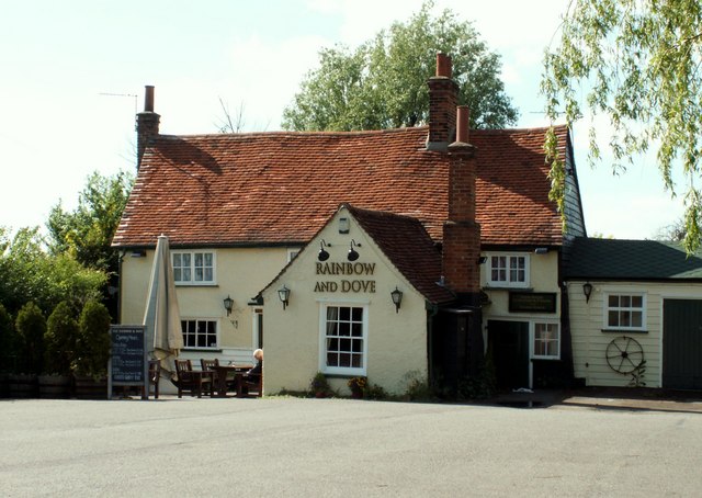
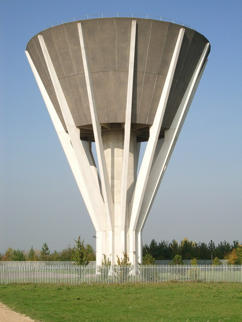
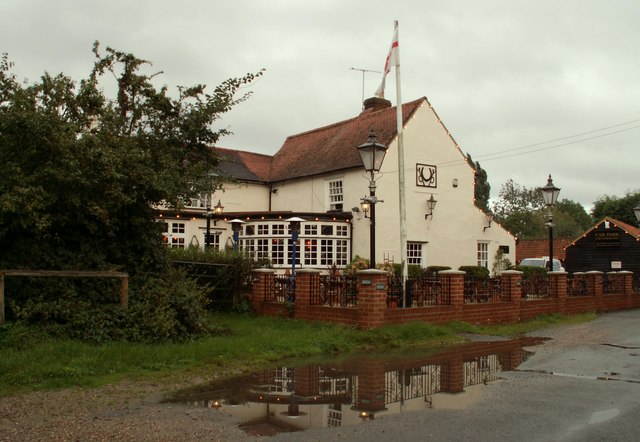
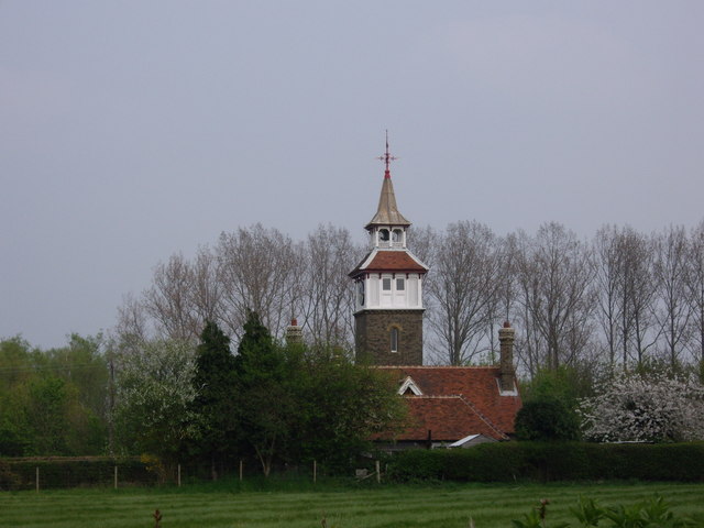
Potter Street Images
Images are sourced within 2km of 51.759362/0.133339 or Grid Reference TL4708. Thanks to Geograph Open Source API. All images are credited.


Potter Street is located at Grid Ref: TL4708 (Lat: 51.759362, Lng: 0.133339)
Administrative County: Essex
District: Harlow
Police Authority: Essex
What 3 Words
///loops.scrap.follow. Near Harlow, Essex
Nearby Locations
Related Wikis

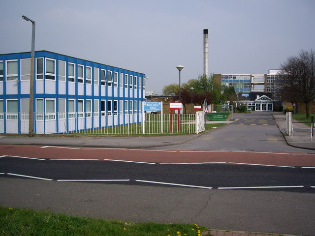
Brays Grove Community School
Brays Grove Community School was a mixed secondary school located within the town of Harlow in Essex, England. The school was closed in 2008 due to falling...

Passmores Academy
Passmores Academy is a 11-16 secondary school in Harlow, Essex.The academy has an annual intake of 240 pupils in Year 7, and approximately 1,000 pupils...

Church Langley
Church Langley is part of Harlow, Essex, England.Church Langley was built from 1992 and was originally named Brenthall Park, consisting of three developers...

A414 road
The A414 is a major road in England, which connects the towns of Hemel Hempstead in Hertfordshire and Maldon in Essex. The road commences at the A41, at...
Nearby Amenities
Located within 500m of 51.759362,0.133339Have you been to Potter Street?
Leave your review of Potter Street below (or comments, questions and feedback).