Chapel Fields
Urban Greenspace in Essex Harlow
England
Chapel Fields
Chapel Fields is an urban greenspace located in Essex, England. It is a public park that offers various recreational activities and amenities for visitors to enjoy.
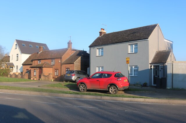
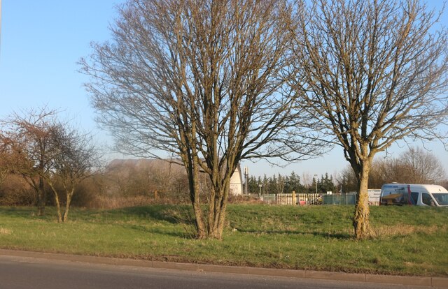
Covering an area of approximately 10 acres, Chapel Fields is a well-maintained and vibrant greenspace that serves as a popular destination for local residents and tourists alike. The park features a diverse range of flora and fauna, including beautiful flower beds, trees, and grassy areas. These elements contribute to the park's aesthetic appeal and create a peaceful and relaxing atmosphere.
Chapel Fields offers several amenities to cater to the needs of its visitors. There are well-maintained walking paths that provide opportunities for leisurely strolls or jogging. Additionally, the park features a playground area equipped with modern play equipment, making it an ideal spot for families with young children. The park also provides open spaces for recreational activities such as picnics, ball games, and kite flying.
Furthermore, Chapel Fields offers a range of facilities to enhance visitors' experience. There are benches strategically placed throughout the park, providing ample seating for visitors to rest and take in the surroundings. The park also has public toilets and ample parking spaces, ensuring convenience for its visitors.
Chapel Fields is managed and maintained by the local council, ensuring that it remains clean, safe, and accessible to all. Regular events such as community gatherings and seasonal celebrations are also organized in the park, fostering a sense of community and promoting social interaction.
Overall, Chapel Fields in Essex is a well-designed and well-maintained urban greenspace that offers a variety of amenities and recreational activities for visitors of all ages. Whether it's a leisurely walk, a family outing, or simply enjoying the beauty of nature, Chapel Fields provides an inviting and enjoyable environment for all who visit.
If you have any feedback on the listing, please let us know in the comments section below.
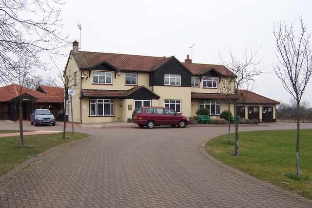
Chapel Fields Images
Images are sourced within 2km of 51.755909/0.13108963 or Grid Reference TL4708. Thanks to Geograph Open Source API. All images are credited.

Chapel Fields is located at Grid Ref: TL4708 (Lat: 51.755909, Lng: 0.13108963)
Administrative County: Essex
District: Harlow
Police Authority: Essex
What 3 Words
///torn.stews.facing. Near Harlow, Essex
Nearby Locations
Related Wikis

Passmores Academy
Passmores Academy is a 11-16 secondary school in Harlow, Essex.The academy has an annual intake of 240 pupils in Year 7, and approximately 1,000 pupils...

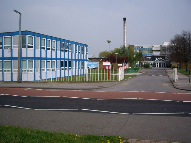
Brays Grove Community School
Brays Grove Community School was a mixed secondary school located within the town of Harlow in Essex, England. The school was closed in 2008 due to falling...

A414 road
The A414 is a major road in England, which connects the towns of Hemel Hempstead in Hertfordshire and Maldon in Essex. The road commences at the A41, at...

Church Langley
Church Langley is part of Harlow, Essex, England.Church Langley was built from 1992 and was originally named Brenthall Park, consisting of three developers...

Hastingwood
Hastingwood is a hamlet in the North Weald Bassett civil parish of the Epping Forest district of Essex, England. The hamlet is centred on the junction...
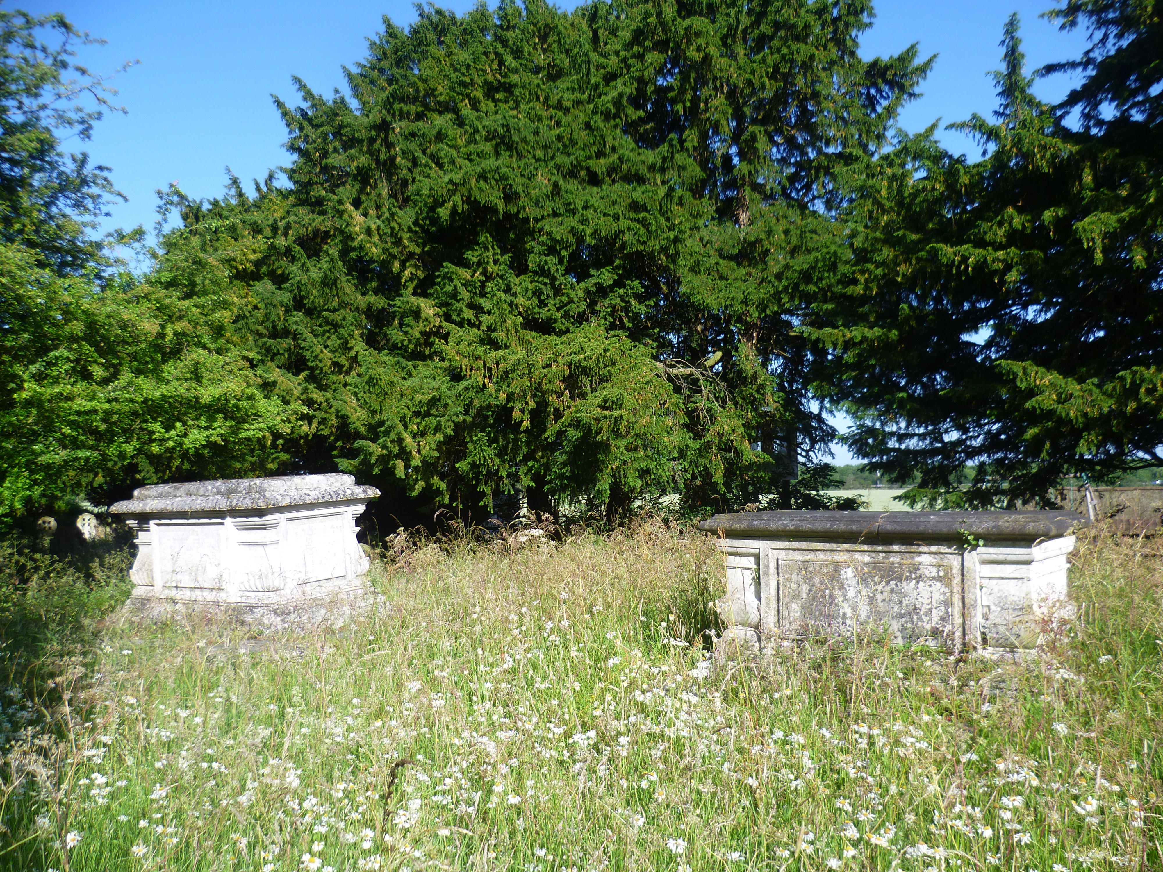
Foster Street
Foster Street is a hamlet in the North Weald Bassett civil parish of the Epping Forest district in the English county of Essex. A non-conformist burying...

Newhall, Essex
Newhall is a new housing estate within Harlow, Essex, England. In 2009, it was being built on land originally forming part of Soper Farm. A landowner led...

Latton Priory
Latton Priory was a small priory in Essex, England. Its site is about 1 km south of the outskirts of the modern town of Harlow. The priory was founded...
Nearby Amenities
Located within 500m of 51.755909,0.13108963Have you been to Chapel Fields?
Leave your review of Chapel Fields below (or comments, questions and feedback).