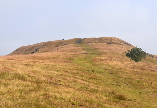
Pontesbury Hill
Settlement in Shropshire
England
Pontesbury Hill
The requested URL returned error: 429 Too Many Requests
If you have any feedback on the listing, please let us know in the comments section below.
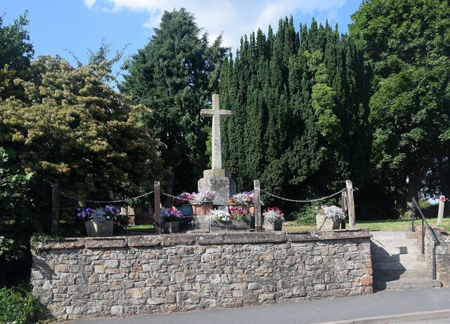
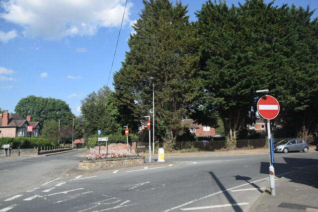
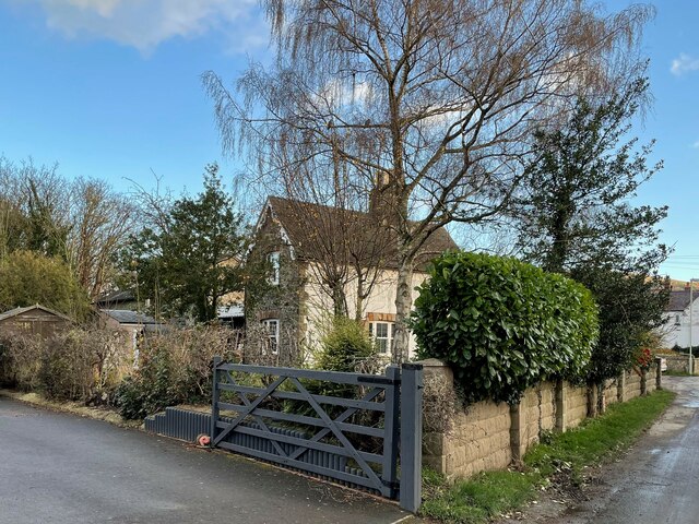
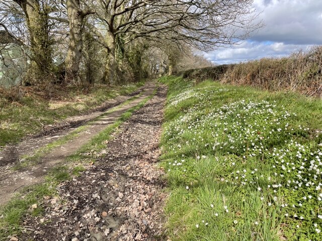
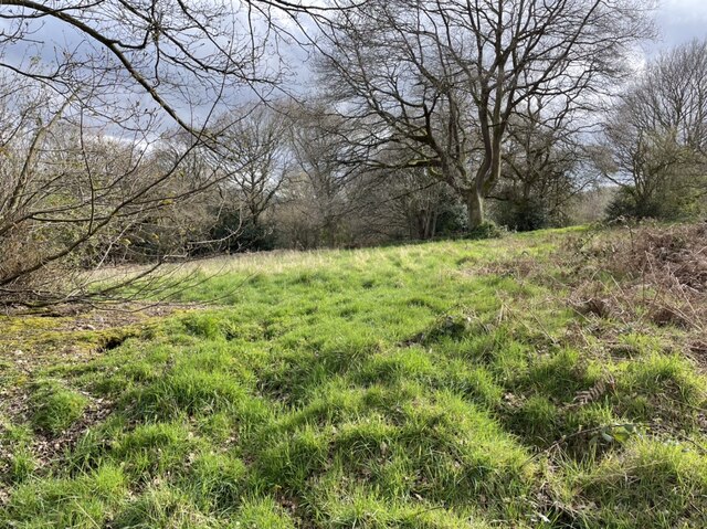
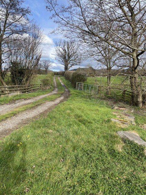
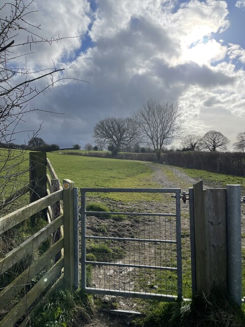
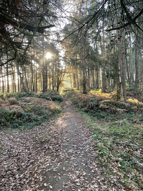
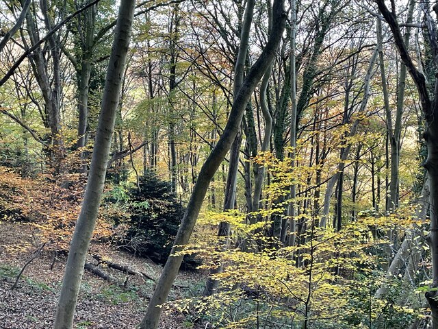
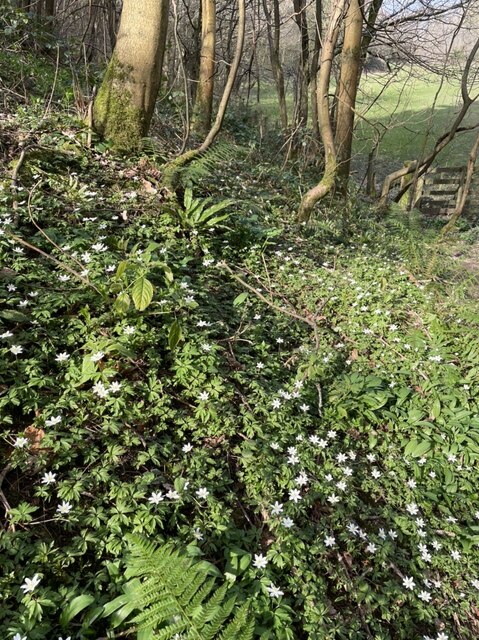
Pontesbury Hill Images
Images are sourced within 2km of 52.644435/-2.894643 or Grid Reference SJ3905. Thanks to Geograph Open Source API. All images are credited.
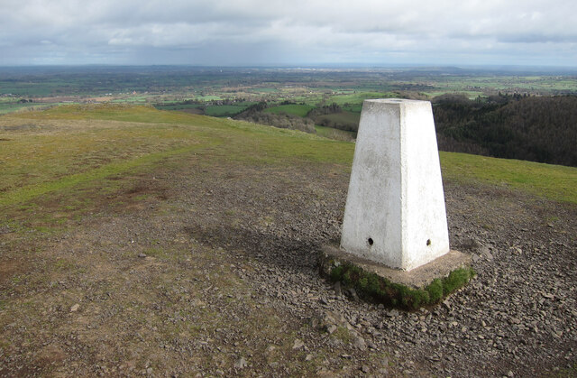


Pontesbury Hill is located at Grid Ref: SJ3905 (Lat: 52.644435, Lng: -2.894643)
Unitary Authority: Shropshire
Police Authority: West Mercia
What 3 Words
///hovered.haggling.winemaker. Near Pontesbury, Shropshire
Nearby Locations
Related Wikis

Pontesbury
Pontesbury ( PONTS-bər-ee) is a village and civil parish in Shropshire, and is approximately eight miles southwest of Shrewsbury. In the 2011 census, the...

Pontesbury railway station
Pontesbury railway station was a station in Pontesbury, Shropshire, England. The station was opened in 1861 and closed in 1951. == References == ��2�...

Mary Webb School and Science College
Mary Webb School and Science College is a coeducational secondary school located in Pontesbury, Shropshire, England. Founded in 1957, it was originally...

Poles Coppice countryside site
Poles Coppice countryside site is an area of ancient oak woodland with disused quarry workings, located around 0.5 miles (1 km) south of Pontesbury, Shropshire...
Nearby Amenities
Located within 500m of 52.644435,-2.894643Have you been to Pontesbury Hill?
Leave your review of Pontesbury Hill below (or comments, questions and feedback).