Pool Bank

Settlement in Shropshire

England

Pool Bank

Minsterley businesses The village butcher, the former village shop and Little Efe's kebab house.
Minsterley businesses Credit: Bill Harrison

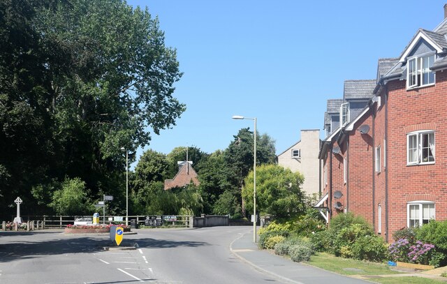
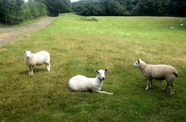
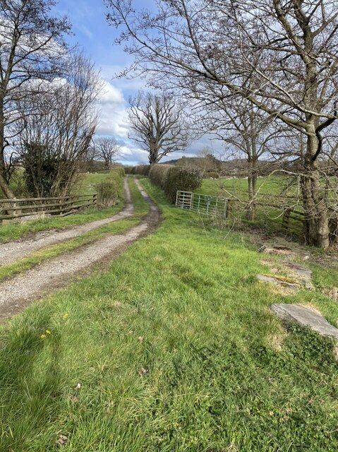
Pool Bank is a small village located in the county of Shropshire, England. Situated in the picturesque countryside, it is surrounded by rolling hills and lush green fields, offering a tranquil and idyllic setting. The village is part of the larger civil parish of Condover and is located approximately 8 miles south of the county town of Shrewsbury.

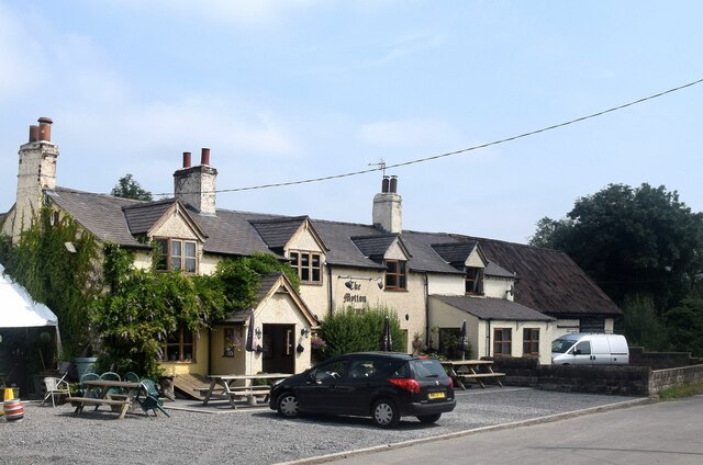
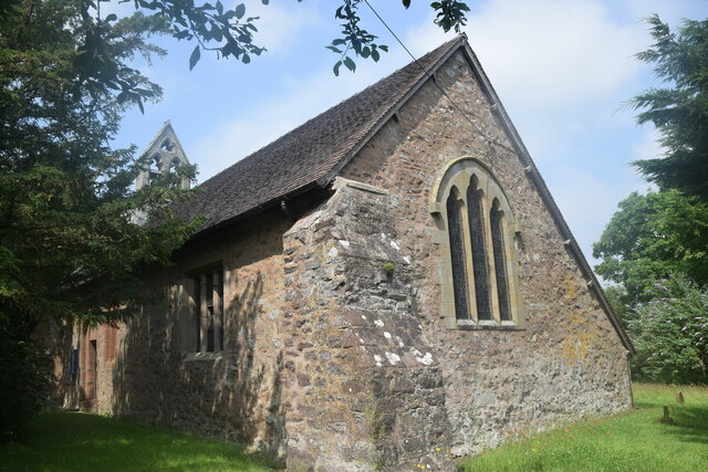
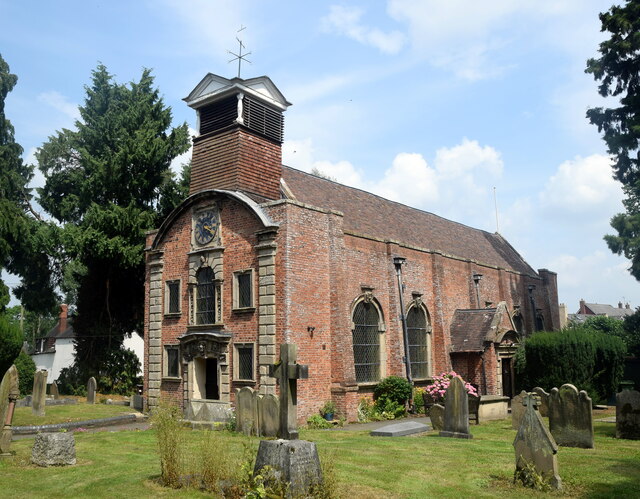
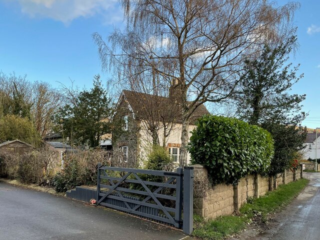
Pool Bank is a close-knit community with a small population, making it a peaceful and friendly place to reside. The village consists mainly of traditional stone cottages and houses, giving it a charming and rustic feel. The architecture reflects the historical significance of the area, with some buildings dating back several centuries.

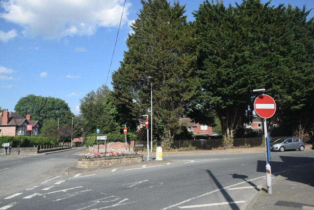
The village is well-connected to the surrounding areas by road, with easy access to nearby towns and cities. Despite its rural location, there are amenities available within a short distance, including shops, schools, and recreational facilities. The nearby town of Shrewsbury offers a wider range of amenities, including shopping centers, restaurants, and entertainment venues.

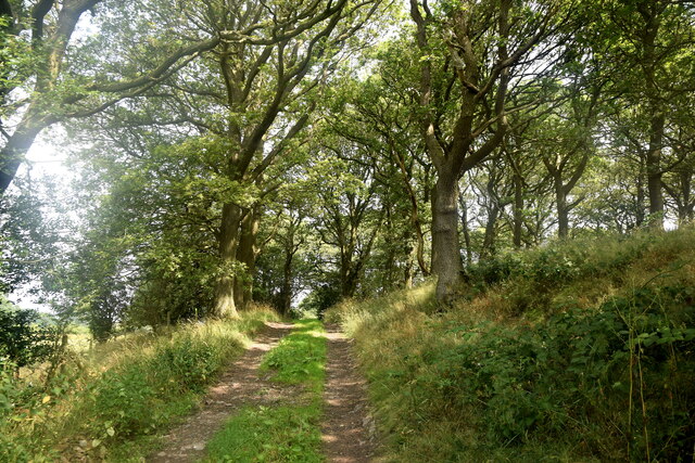
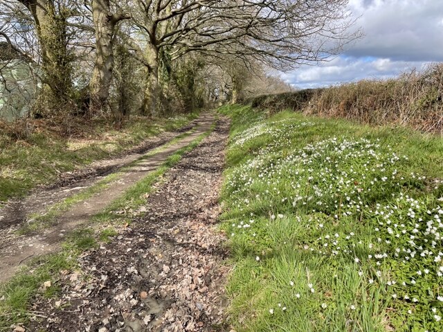
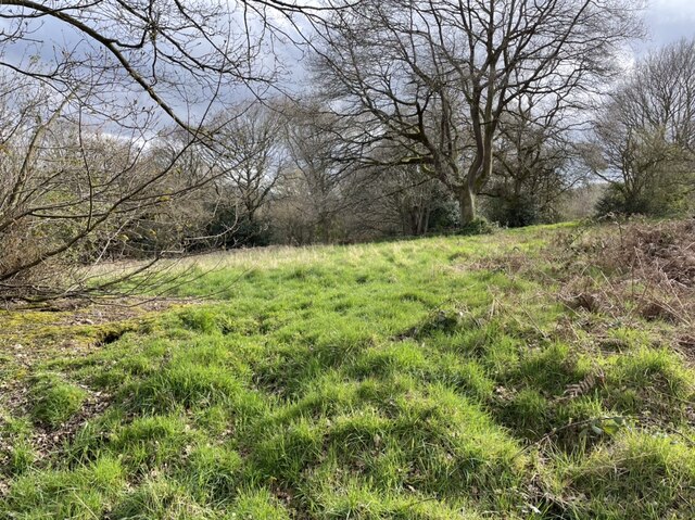
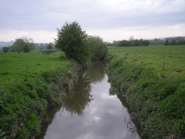
For nature enthusiasts, Pool Bank offers plenty of opportunities to explore the countryside. There are numerous walking and cycling routes that wind through the picturesque landscape, allowing residents and visitors to enjoy the beauty of the area. The nearby Shropshire Hills, an Area of Outstanding Natural Beauty, provide further opportunities for outdoor activities such as hiking and wildlife spotting.

Overall, Pool Bank is a charming village in the heart of the Shropshire countryside, offering a peaceful and picturesque place to live or visit. Its rural location, combined with its close proximity to amenities and natural beauty spots, make it an attractive destination for those seeking a quieter way of life.

If you have any feedback on the listing, please let us know in the comments section below.
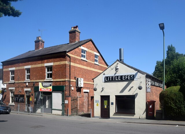
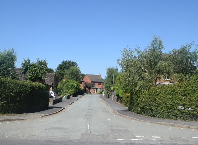
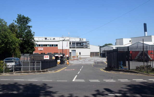
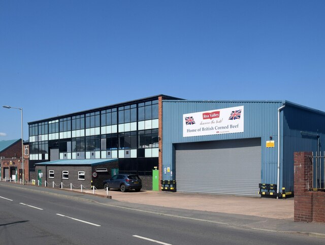
Pool Bank Images

Images are sourced within 2km of 52.640419/-2.8975175 or Grid Reference SJ3905. Thanks to Geograph Open Source API. All images are credited.

Minsterley businesses The village butcher, the former village shop and Little Efe's kebab house.
Minsterley businesses
The village butcher, the former village shop and Little Efe's kebab house.
Willow Park, Minsterley new builds to the west of the A488 road.
Willow Park, Minsterley
new builds to the west of the A488 road.
Mueller Dairy, Minsterley
Rea Valley corned beef processing plant, Minsterley
Village centre, Minsterley The small roundabout where the B4499 diverges from the A488.  The end of Minsterley parish church can be seen beyond the bridge.
Village centre, Minsterley
The small roundabout where the B4499 diverges from the A488. The end of Minsterley parish church can be seen beyond the bridge.
The Mytton Arms, Habberley Named after John "Mad Jack" Mytton, a debauched 19th Century rake: <span class="nowrap"><a title="https://en.wikipedia.org/wiki/John_Mytton" rel="nofollow ugc noopener" href="https://en.wikipedia.org/wiki/John_Mytton">Link</a><img style="margin-left:2px;" alt="External link" title="External link - shift click to open in new window" src="https://s1.geograph.org.uk/img/external.png" width="10" height="10"/></span> .
The Mytton Arms, Habberley
Named after John "Mad Jack" Mytton, a debauched 19th Century rake: LinkExternal link .
St Mary's Church, Habberley The grade-II (LB1177028 <span class="nowrap"><a title="https://historicengland.org.uk/listing/the-list/list-entry/1177028" rel="nofollow ugc noopener" href="https://historicengland.org.uk/listing/the-list/list-entry/1177028">Link</a><img style="margin-left:2px;" alt="External link" title="External link - shift click to open in new window" src="https://s1.geograph.org.uk/img/external.png" width="10" height="10"/></span> ) church is thought to date from the 12th Century but was heavily rebuilt in the 19th Century.  Note the asymmetrical roofline and the gigantic buttress in the foreground.
St Mary's Church, Habberley
The grade-II (LB1177028 LinkExternal link ) church is thought to date from the 12th Century but was heavily rebuilt in the 19th Century. Note the asymmetrical roofline and the gigantic buttress in the foreground.
Forest walk... ...to Poles Coppice.
Forest walk...
...to Poles Coppice.
Shropshire sheep... ...taking it easy on a blisteringly hot summer day in July 2021.
Shropshire sheep...
...taking it easy on a blisteringly hot summer day in July 2021.
Holy Trinity Church, Minsterley The striking red-brick church dates from 1689 and is grade-II* listed (LB1055228 <span class="nowrap"><a title="https://historicengland.org.uk/listing/the-list/list-entry/1055228" rel="nofollow ugc noopener" href="https://historicengland.org.uk/listing/the-list/list-entry/1055228">Link</a><img style="margin-left:2px;" alt="External link" title="External link - shift click to open in new window" src="https://s1.geograph.org.uk/img/external.png" width="10" height="10"/></span> ), where its architecture and history are described in detail.
Holy Trinity Church, Minsterley
The striking red-brick church dates from 1689 and is grade-II* listed (LB1055228 LinkExternal link ), where its architecture and history are described in detail.
Pontesbury takeaways Chinese or Indian... ?
Pontesbury takeaways
Chinese or Indian... ?
Pontesbury war memorial
Village road junction The A488 bifurcates into a one-way system here and merges back into one the other side of the church.  There are plenty of no entry signs and road markings to keep traffic on the right road.
Village road junction
The A488 bifurcates into a one-way system here and merges back into one the other side of the church. There are plenty of no entry signs and road markings to keep traffic on the right road.
Pontesbury railway station (site), Shropshire Opened in 1861 by the London & North Western Railway on the short branch line from Hanwood to Minsterley, this station closed to passengers in 1951 and completely in 1967.
View north east towards Plealey Road and Shrewsbury. The single railway line crossed left to right in front of the house, now a private residence, and across the road by a level crossing. The single platform was in front of the house, hidden from view. The former goods shed was still extant when this image was taken, and can just be seen behind the trees.
Pontesbury railway station (site), Shropshire
Opened in 1861 by the London & North Western Railway on the short branch line from Hanwood to Minsterley, this station closed to passengers in 1951 and completely in 1967. View north east towards Plealey Road and Shrewsbury. The single railway line crossed left to right in front of the house, now a private residence, and across the road by a level crossing. The single platform was in front of the house, hidden from view. The former goods shed was still extant when this image was taken, and can just be seen behind the trees.
Minsterley railway station (site), Shropshire Opened in 1861 by the London & North Western Railway as the terminus of the short branch line from Hanwood, this station closed to passengers in 1951 and completely in 1967.
View north from the road at the station forecourt, now a private residence. The platform was behind and to the right of the house, at a right-angle to this viewpoint. It is now under a car park and factory buildings.
Minsterley railway station (site), Shropshire
Opened in 1861 by the London & North Western Railway as the terminus of the short branch line from Hanwood, this station closed to passengers in 1951 and completely in 1967. View north from the road at the station forecourt, now a private residence. The platform was behind and to the right of the house, at a right-angle to this viewpoint. It is now under a car park and factory buildings.
Track and footpath heading north into Poles Coppice Footpath beautifully lined with wood anemones.
Track and footpath heading north into Poles Coppice
Footpath beautifully lined with wood anemones.
The Ring by Nills Farm on the fringe of Poles Coppice This is a medieval animal pound, which was used to enclose stray or illegally pastured stock. It may have been in use in the fifteenth century onwards. The raised earthworks of this Ring are clearly visible, and provide an atmospheric feel to this green space just off the nearby footpath.
The Ring by Nills Farm on the fringe of Poles Coppice
This is a medieval animal pound, which was used to enclose stray or illegally pastured stock. It may have been in use in the fifteenth century onwards. The raised earthworks of this Ring are clearly visible, and provide an atmospheric feel to this green space just off the nearby footpath.
Footpath north of Poles Coppice Gentle rolling track behind Polesgate
Footpath north of Poles Coppice
Gentle rolling track behind Polesgate
Show me another place!

Pool Bank is located at Grid Ref: SJ3905 (Lat: 52.640419, Lng: -2.8975175)

Unitary Authority: Shropshire

Police Authority: West Merica

What 3 Words

///unravel.operation.fruits. Near Pontesbury, Shropshire

Related Wikis

Poles Coppice countryside site

Poles Coppice countryside site is an area of ancient oak woodland with disused quarry workings, located around 0.5 miles (1 km) south of Pontesbury, Shropshire...

Pontesbury

Pontesbury ( PONTS-bər-ee) is a village and civil parish in Shropshire, and is approximately eight miles southwest of Shrewsbury. In the 2011 census, the...

Mary Webb School and Science College

Mary Webb School and Science College is a coeducational secondary school located in Pontesbury, Shropshire, England. Founded in 1957, it was originally...

Pontesbury railway station

Pontesbury railway station was a station in Pontesbury, Shropshire, England. The station was opened in 1861 and closed in 1951. == References == ��2�...

Malehurst

Malehurst is a hamlet in Shropshire, England between the large villages of Pontesbury and Minsterley and north of the small village of Asterley. It is...

Habberley, Shropshire

Habberley is a small village and former civil parish, now in the parish of Pontesbury, in the Shropshire district, in the ceremonial county of Shropshire...

Minsterley railway station

Minsterley railway station was a terminus station in Minsterley, Shropshire, England. The station was opened in 1861 and closed in 1951. == References... ==

Minsterley

Minsterley is a village and civil parish in Shropshire, England. In the 2011 census, its population was 1,777. Minsterley lies one mile south-west of Pontesbury...

Nearby Amenities

Located within 500m of 52.640419,-2.8975175
Post Box
Post Box Type: lamp
Royal Cypher: EIIR
Source: survey
Lat/Long: 52.6444758/-2.8947909
Telephone
Booth: KX100
Covered: booth
Phone: +44 1743 790231
Source: survey
Lat/Long: 52.6421573/-2.8972199
Grit Bin
Lat/Long: 52.6428807/-2.8964394
Addr Postcode: SY5 0YJ
Source: survey: planning notice adjacent
Lat/Long: 52.6381361/-2.8983239
Grit Bin
Source: survey
Lat/Long: 52.6421046/-2.8972592
Barrier: cattle_grid
Lat/Long: 52.640315/-2.8980246
Grit Bin
Lat/Long: 52.6437376/-2.8943777
Incline: steep
Lat/Long: 52.6428748/-2.8937819
Barrier: kissing_gate
Fixme: needs resurvey
Lat/Long: 52.6418133/-2.8931677
Incline: steep
Lat/Long: 52.6429871/-2.8939421
Barrier: stile
Lat/Long: 52.6421035/-2.892321
Barrier: stile
Step Count: 2
Stile: stepover
Lat/Long: 52.6376911/-2.8947855
Description: Picnic table without benches
Leisure: picnic_table
Source: survey
Lat/Long: 52.6369999/-2.8976721
Incline: steep
Lat/Long: 52.6360636/-2.89798
Bench
Description: Picnic table with benches
Leisure: picnic_table
Source: survey
Lat/Long: 52.6369774/-2.8980068
Tourism: picnic_site
Lat/Long: 52.6369787/-2.8979363
Barrier: stile
Lat/Long: 52.6418175/-2.8931296
Note: Waymark here for Red route, Black route and Chris Bagley way
Lat/Long: 52.6378217/-2.8948362
Ele: 174.928
Lat/Long: 52.6374649/-2.8962503
Ele: 127.542
Lat/Long: 52.644223/-2.896173
Polesgate
Is In: Shropshire
Place: hamlet
Source: Signs on many properties (e.g., 12, Polesgate)
Lat/Long: 52.6390632/-2.8972331
Bench
Lat/Long: 52.6388592/-2.8951698
Note: tree obstructs path
Lat/Long: 52.6411907/-2.8944209
Note: fallen tree
Lat/Long: 52.6418829/-2.8940629
Bench
Lat/Long: 52.6406799/-2.8935765
Bench
Lat/Long: 52.6406047/-2.8935012
Barrier: stile
Stile: stepover
Lat/Long: 52.6442681/-2.9011434
The data included in this document is from www.openstreetmap.org. The data is made available under ODbL.

Have you been to Pool Bank?

Leave your review of Pool Bank below (or comments, questions and feedback).