Ponsworthy

Settlement in Devon Teignbridge

England

Ponsworthy

Dartmoor looking towards Sharp Tor, Yartor Down This view is from near Rowbrook Hill car park on the road between Dartmeet and Ponsworthy.
Dartmoor looking towards Sharp Tor, Yartor Down Credit: Richard Rogerson

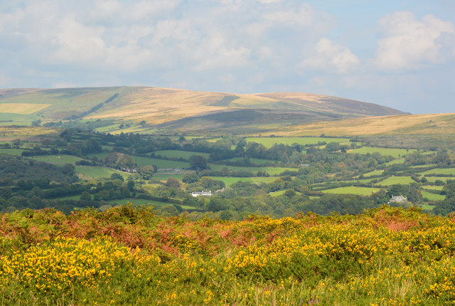
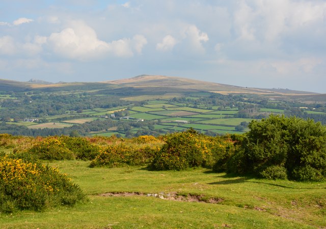
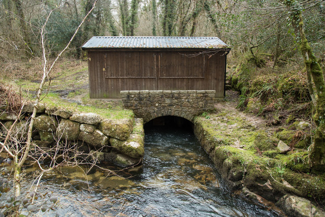
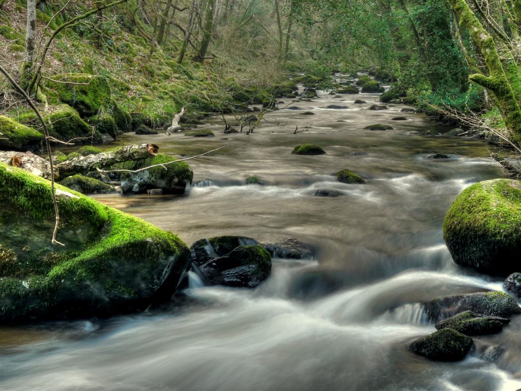
Ponsworthy is a small picturesque village nestled in the heart of Dartmoor National Park, located in the county of Devon, England. With a population of just over 100 residents, this rural village is known for its tranquil and idyllic setting, surrounded by rolling hills, dense woodlands, and the sparkling River Dart.

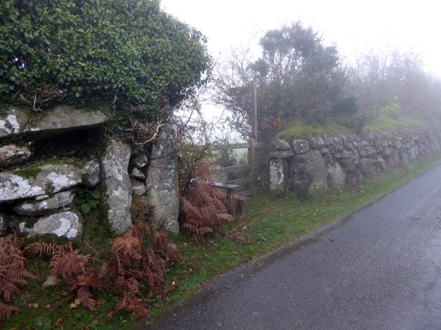
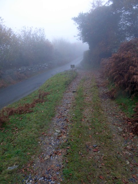
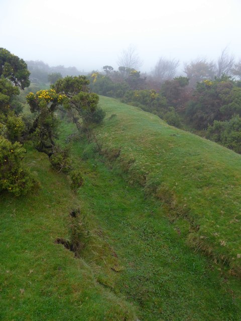
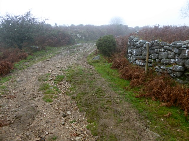
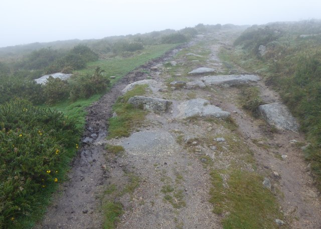
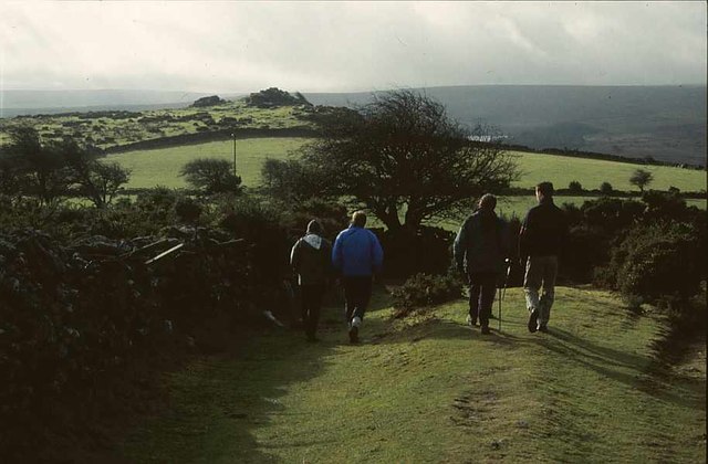
The village is characterized by its traditional stone cottages and thatched roofs, which give it a charming and timeless appeal. Ponsworthy is a popular destination for nature lovers and outdoor enthusiasts, offering an abundance of walking and hiking trails that showcase the stunning natural beauty of Dartmoor.

One of the main attractions in Ponsworthy is the famous Dartmoor Pony Heritage Trust, which is dedicated to conserving and promoting the iconic Dartmoor ponies. Visitors can learn about the history and significance of these ponies through informative exhibitions and even have the opportunity to meet and interact with them.

The village does not have its own amenities such as shops or pubs, but it is within close proximity to neighboring towns and villages where residents and visitors can access a range of services. The nearest town, Ashburton, is just a short drive away and offers a variety of shops, cafes, and restaurants.

Ponsworthy is a haven for those seeking a peaceful retreat in the midst of stunning natural beauty. Its untouched landscapes, rich wildlife, and welcoming community make it a hidden gem within Dartmoor National Park.

If you have any feedback on the listing, please let us know in the comments section below.
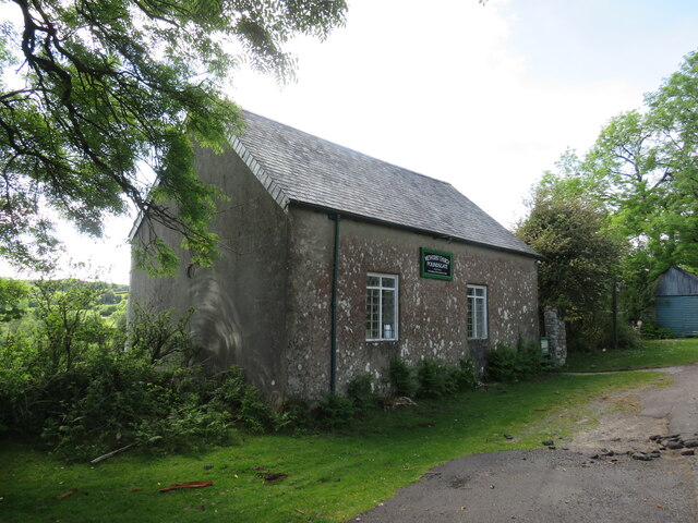
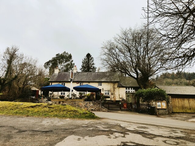
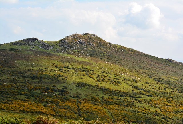
Ponsworthy Images

Images are sourced within 2km of 50.549896/-3.83356 or Grid Reference SX7073. Thanks to Geograph Open Source API. All images are credited.

Dartmoor looking towards Sharp Tor, Yartor Down This view is from near Rowbrook Hill car park on the road between Dartmeet and Ponsworthy.
Dartmoor looking towards Sharp Tor, Yartor Down
This view is from near Rowbrook Hill car park on the road between Dartmeet and Ponsworthy.
St Peter's Church, Buckland in the Moor
Poundsgate Chapel, Dartmoor This is a well-known landmark for those crossing Dartmoor from Ashburton to Princetown or Tavistock. It was built as a place of worship in 1833 and has been in regular use ever since.
Poundsgate Chapel, Dartmoor
This is a well-known landmark for those crossing Dartmoor from Ashburton to Princetown or Tavistock. It was built as a place of worship in 1833 and has been in regular use ever since.
Tavistock Inn, Poundsgate
Cairn, Corndon Down
Cairn, Corndon Down
Sharp Tor, near Dartmeet, Devon There are four tors called Sharp Tor, this is the one between Dartmeet and Poundsgate.

Atop the granite peak of the tor is a couple (at the right) and a single walker. Another walker can be spotted walking up the hill just above the gorse.

The Dartmoor tors and clitter slopes have been formed through the weathering of the granite over at least the last ten million years.
Sharp Tor, near Dartmeet, Devon
There are four tors called Sharp Tor, this is the one between Dartmeet and Poundsgate. Atop the granite peak of the tor is a couple (at the right) and a single walker. Another walker can be spotted walking up the hill just above the gorse. The Dartmoor tors and clitter slopes have been formed through the weathering of the granite over at least the last ten million years.
Moorland in autumn, Ponsworthy, Devon
Sherbeton Common, Dartmoor, Devon
Stile and gate at the start of a footpath to Ponsworthy From one of the minor roads on Bel Tor; the walls are granite
Stile and gate at the start of a footpath to Ponsworthy
From one of the minor roads on Bel Tor; the walls are granite
Track in the mist on Sherberton Common A track onto the common land from a minor road north-east of Bel Tor
Track in the mist on Sherberton Common
A track onto the common land from a minor road north-east of Bel Tor
Ditch and earth wall on Mel Tor The Two Moors Way runs beside this feature on the moor <a href="https://www.geograph.org.uk/photo/1542980">SX6972 : Two Moors Way, Mel Tor</a>
Ditch and earth wall on Mel Tor
The Two Moors Way runs beside this feature on the moor SX6972 : Two Moors Way, Mel Tor
Two Moors Way in the mist on Mel Tor
Two Moors Way on Dr Blackall's Drive in the mist The "Drive" is often rough, with rocky outcrops
Two Moors Way on Dr Blackall's Drive in the mist
The "Drive" is often rough, with rocky outcrops
Old Walls Turbine Building For description of the Hydro-electric power installation see <span class="nowrap"><a title="https://www.widecombe-in-the-moor.com/history/minutes/2002/old_walls_hydroelectrics.php" rel="nofollow ugc noopener" href="https://www.widecombe-in-the-moor.com/history/minutes/2002/old_walls_hydroelectrics.php">Link</a><img style="margin-left:2px;" alt="External link" title="External link - shift click to open in new window" src="https://s1.geograph.org.uk/img/external.png" width="10" height="10"/></span>

See <a href="https://www.geograph.org.uk/photo/2022229">SX7074 : West Webburn River; the weir for Old Walls</a> and <a href="https://www.geograph.org.uk/photo/1318620">SX7074 : Widecombe in the Moor: Old Walls leat 1</a> for pictures of the weir and leat that supply the water to the turbines.
Old Walls Turbine Building
For description of the Hydro-electric power installation see LinkExternal link See SX7074 : West Webburn River; the weir for Old Walls and SX7074 : Widecombe in the Moor: Old Walls leat 1 for pictures of the weir and leat that supply the water to the turbines.
Old Walls disused turbine building Now superseded by the installation shown in <a href="https://www.geograph.org.uk/photo/4872137">SX6974 : Old Walls Turbine Building</a>. For a description of the Old Walls hydro-electric scheme see <span class="nowrap"><a title="https://www.widecombe-in-the-moor.com/history/minutes/2002/old_walls_hydroelectrics.php" rel="nofollow ugc noopener" href="https://www.widecombe-in-the-moor.com/history/minutes/2002/old_walls_hydroelectrics.php">Link</a><img style="margin-left:2px;" alt="External link" title="External link - shift click to open in new window" src="https://s1.geograph.org.uk/img/external.png" width="10" height="10"/></span>
Old Walls disused turbine building
Now superseded by the installation shown in SX6974 : Old Walls Turbine Building. For a description of the Old Walls hydro-electric scheme see LinkExternal link
Moorland and road north of Sharp Tor At a minor road junction; the speed limit on Dartmoor is 40mph, painted on the tarmac
Moorland and road north of Sharp Tor
At a minor road junction; the speed limit on Dartmoor is 40mph, painted on the tarmac
Sharp Tor, Dartmoor
Sharp Tor, Dartmoor
Two Moors Way near Bel Tor, 2001 A party of walkers sets off for Dr Blackall's Drive and the two Moors Way to Holne. Mel Tor is visible ahead, and the gleam across the Dart valley is Venford Reservoir.
Two Moors Way near Bel Tor, 2001
A party of walkers sets off for Dr Blackall's Drive and the two Moors Way to Holne. Mel Tor is visible ahead, and the gleam across the Dart valley is Venford Reservoir.
Show me another place!

Ponsworthy is located at Grid Ref: SX7073 (Lat: 50.549896, Lng: -3.83356)

Administrative County: Devon

District: Teignbridge

Police Authority: Devon and Cornwall

What 3 Words

///offers.outwards.dusted. Near Ashburton, Devon

Related Wikis

Ponsworthy

Ponsworthy is a hamlet on the eastern side of Dartmoor, Devon, England. It lies in the steep valley of the West Webburn River about 3.5 km (2.2 mi) southwest...

Leusdon

Leusdon is a parish in the southern part of Dartmoor in the county of Devon, UK. It is near Poundsgate and Ponsworthy. The village church is St John the...

East Webburn River

The East Webburn is a stream in the Dartmoor moors in Devon in south-west England. It rises on the western side of the moors flowing off the west side...

West Webburn River

The West Webburn is a stream on Dartmoor in Devon in south-west England. It rises on the eastern side of the moors flowing off the east side of Hameldown...

Related Videos

Dartmoor - A Walk At Dunnabridge And Sharps Tor!

I walk around Dartmoor. Please Like And Subscribe!

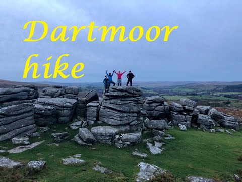
Dartmoor Day Hike, Tors, Rivers and Bridges! Dartmoor National Park

Dartmoor 20.4 mile circular, November 2019. Group walk around some of the best spots in Dartmoor. Start: New Bridge postcode ...

Dartmoor Walks: Corndon, Yar and Sharp Tor

From our Mother's Day walk 2022 - a nice circular family hike starting at Bel Tor car park near Dartmeet, in central Dartmoor.

A family hike to Sharp Tor, Corndon Tor and Yar Tor

A lovely 6k walk in the heart of Dartmoor. The walk starts at a small lay-by close to Sharp Tor. Upon reaching its pointy summit we ...

Nearby Amenities

Located within 500m of 50.549896,-3.83356
Access: yes
Bicycle: yes
Ford: yes
Goods: yes
Horse: yes
Motor Vehicle: yes
Motorcar: yes
Motorcycle: yes
Vehicle: yes
Lat/Long: 50.5494188/-3.8358902
Ponsworthy
Is In: Devon, England, UK
Place: hamlet
Source: NPE
Wikidata: Q7227984
Wikipedia: en:Ponsworthy
Lat/Long: 50.5494888/-3.8354197
Sweaton
Place: locality
Lat/Long: 50.5479934/-3.8354811
West Webburn River
Source: OS_OpenData_StreetView
Lat/Long: 50.5472146/-3.8302024
Grit Bin
Source: survey
Lat/Long: 50.5484382/-3.8356958
Grit Bin
Source: survey
Lat/Long: 50.5505179/-3.8378314
Uphill
Place: isolated_dwelling
Source: Bing
Lat/Long: 50.5520533/-3.8381066
Give Way
Direction: backward
Lat/Long: 50.5494209/-3.8358397
Generator Method: photovoltaic
Generator Output Electricity: yes
Generator Source: solar
Generator Type: solar_photovoltaic_panel
Location: roof
Power: generator
Lat/Long: 50.5525262/-3.8376414
Generator Method: photovoltaic
Generator Output Electricity: yes
Generator Source: solar
Generator Type: solar_photovoltaic_panel
Location: roof
Power: generator
Lat/Long: 50.5524939/-3.8376629
Generator Method: photovoltaic
Generator Output Electricity: yes
Generator Source: solar
Generator Type: solar_photovoltaic_panel
Location: roof
Power: generator
Lat/Long: 50.5524649/-3.837675
Post Box
Brand: Royal Mail
Brand Wikidata: Q638098
Brand Wikipedia: en:Royal Mail
Collection Times: Mo-Fr 12:00; Sa 11:45; Su off
Drive Through: no
Operator: Royal Mail
Operator Wikidata: Q638098
Post Box Mounting: building
Post Box Type: lamp
Ref: TQ13 16
Royal Cypher: EIIR
Royal Cypher Wikidata: Q33102113
Source: survey;streetlevel imagery;aerial imagery
Lat/Long: 50.5505993/-3.834075
Telephone
Booth: K6
Colour: red
Covered: booth
Listed Status: Grade II
Lat/Long: 50.5503571/-3.8342997
The data included in this document is from www.openstreetmap.org. The data is made available under ODbL.

Have you been to Ponsworthy?

Leave your review of Ponsworthy below (or comments, questions and feedback).