Birsemore
Settlement in Aberdeenshire
Scotland
Birsemore

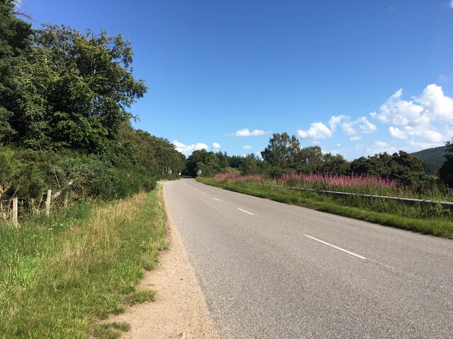
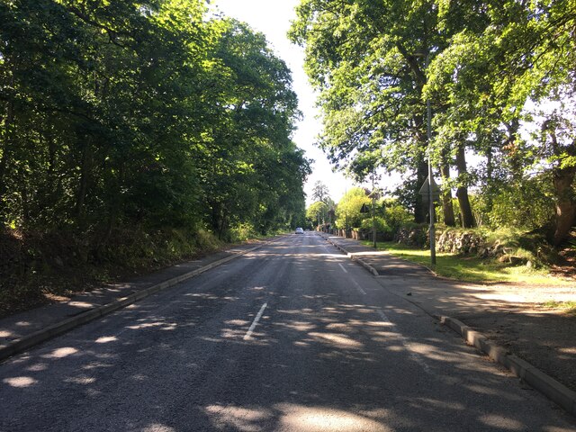
Birsemore is a small rural village located in Aberdeenshire, Scotland. Situated in the eastern part of the country, it is surrounded by picturesque landscapes and is known for its natural beauty. The village is nestled amidst rolling hills and lush greenery, offering stunning views of the countryside.
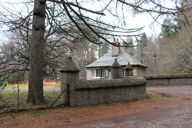
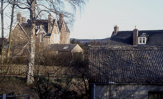
With a population of around 300 residents, Birsemore is a close-knit community where people enjoy a peaceful and serene lifestyle. The village primarily consists of traditional stone houses, which add to its charm and character. Many of these homes have been well-preserved and showcase the local architectural style.
Birsemore is surrounded by numerous walking trails and hiking routes, making it a popular destination for outdoor enthusiasts and nature lovers. The nearby Cairngorms National Park offers a wide range of activities, such as mountain biking, birdwatching, and skiing during the winter months. The village is also in close proximity to the famous River Dee, which attracts anglers from far and wide.
In terms of amenities, Birsemore has a small community center, a local primary school, and a village hall, which serves as a hub for social gatherings and events. While there are limited shopping facilities within the village itself, the nearby town of Aboyne provides residents with a wider range of amenities, including supermarkets, shops, and restaurants.
Overall, Birsemore is a tranquil and scenic village, known for its breathtaking landscapes and strong sense of community. It offers a peaceful retreat for those seeking a slower pace of life in the beautiful Scottish countryside.
If you have any feedback on the listing, please let us know in the comments section below.
Birsemore Images
Images are sourced within 2km of 57.067832/-2.78643 or Grid Reference NO5297. Thanks to Geograph Open Source API. All images are credited.


Birsemore is located at Grid Ref: NO5297 (Lat: 57.067832, Lng: -2.78643)
Unitary Authority: Aberdeenshire
Police Authority: North East
What 3 Words
///springing.mental.shortage. Near Aboyne, Aberdeenshire
Nearby Locations
Related Wikis

Birsemore
Birsemore is a village in Aberdeenshire, Scotland opposite Aboyne on the River Dee. == References ==
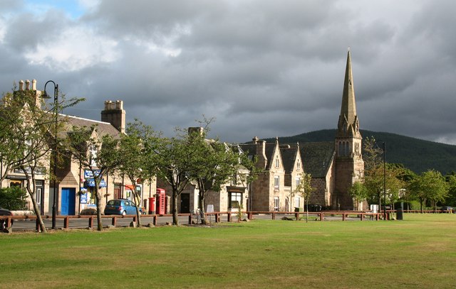
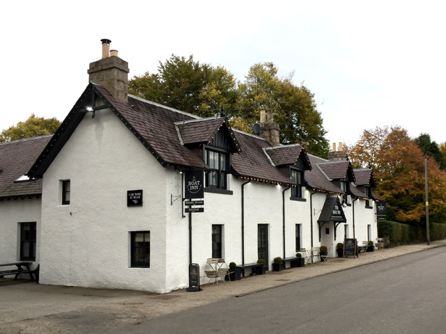
Aboyne
Aboyne (Scots: Abyne, Scottish Gaelic: Abèidh) is a village on the edge of the Highlands in Aberdeenshire, Scotland, on the River Dee, approximately 30...

Aboyne Academy
Aboyne Academy is a secondary school in Aboyne, Aberdeenshire, Scotland. The school is located on the Western side of the village and serves many other...

Water of Tanar
Water of Tanar is a river of the Grampian Mountains of Aberdeenshire, Scotland. It flows through Glen Tanar to join the River Dee at the mouth of the glen...
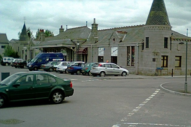
Aboyne railway station
Aboyne railway station was a station which served Aboyne in the Scottish county of Aberdeenshire. It was served by trains on the line from Aberdeen to...

Aboyne Hospital
Aboyne Hospital is a community hospital in Bellwood Road, Aboyne, Scotland. It is managed by NHS Grampian. == History == The facility, which was designed...
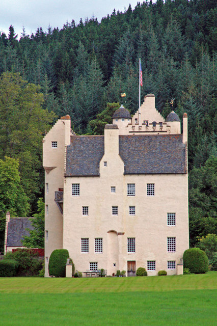
Aboyne Castle
Aboyne Castle (historical name: castrum de Obeyn; alternate names: Castle Of Aboyne or Aboyne Castle Policies; also Bonty Castle or Bunty Castle) is a...
Aboyne Golf Club
Aboyne Golf Club is the oldest golf course in Royal Deeside, Scotland. It lies southwest of the Loch of Aboyne.The golf club was originally a nine-hole...
Related Videos
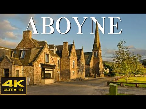
Aboyne Scotland Walking Tour 4K, May 2023
Aboyne Scotland Walking Tour 4K, May 2023. Join me on an enchanting exploration of Aboyne Village in Scotland.

Explore the Enchanting Glen Tanar: Discover Knockie Viewpoint
Donations much appreciated https://www.paypal.com/paypalme/larrybees Glen Tanar (Scottish Gaelic: Gleann Tanar) is a glen in ...
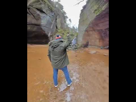
Burn o Vat
The Burn o Vat near Aboyne Aberdeenshire.

Nearby Amenities
Located within 500m of 57.067832,-2.78643Have you been to Birsemore?
Leave your review of Birsemore below (or comments, questions and feedback).