Birlingham

Settlement in Worcestershire Wychavon

England

Birlingham

Bluebells beside the A4104 Every springtime there is a magnificent display of bluebells in this extended garden beside the A4104 to the west of Pershore.
Bluebells beside the A4104 Credit: Philip Halling

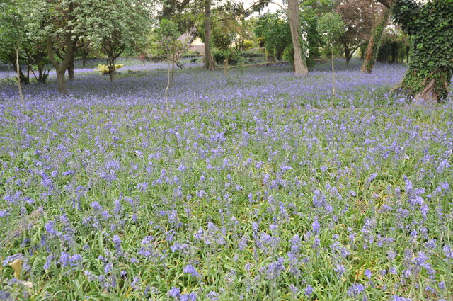
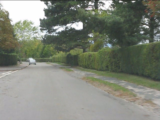
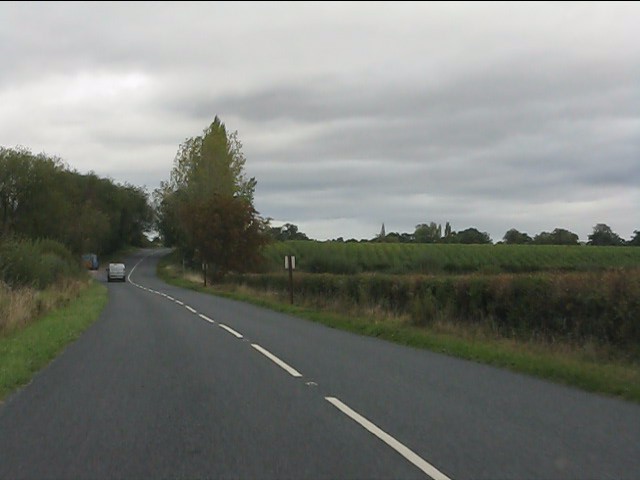
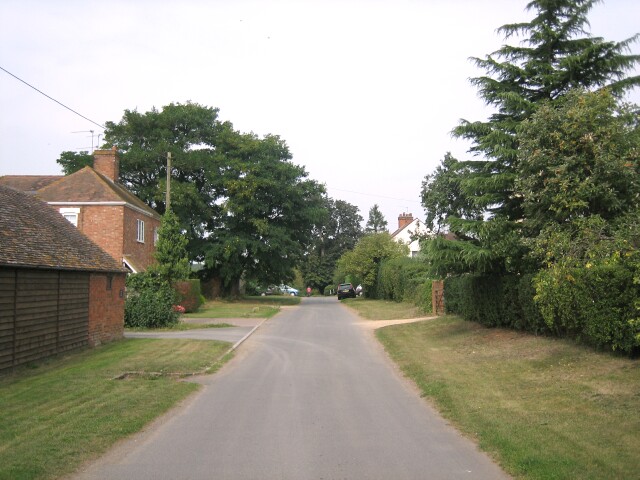
Birlingham is a small village located in the county of Worcestershire, England. Situated approximately 4 miles east of Pershore and 10 miles south of Worcester, it lies on the banks of the River Avon. The village is nestled amidst picturesque countryside and is surrounded by lush green fields, providing a tranquil setting for its residents.

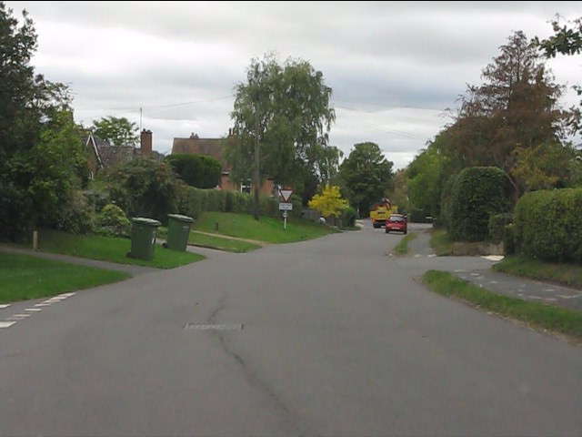
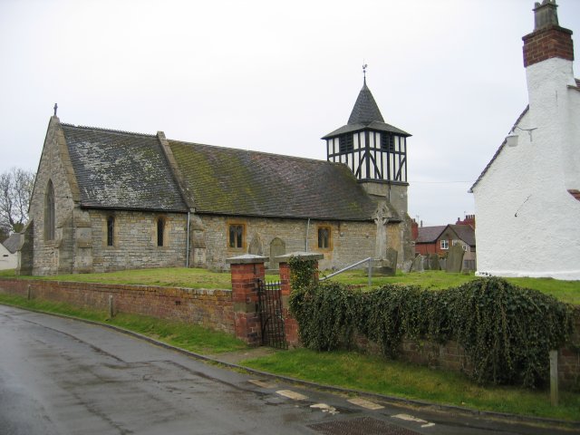
With a population of around 500 people, Birlingham is known for its close-knit community and friendly atmosphere. The village features a mix of traditional and modern architecture, with charming cottages, farmhouses, and more contemporary homes. The historic St. James' Church, dating back to the 12th century, is a prominent landmark within the village.

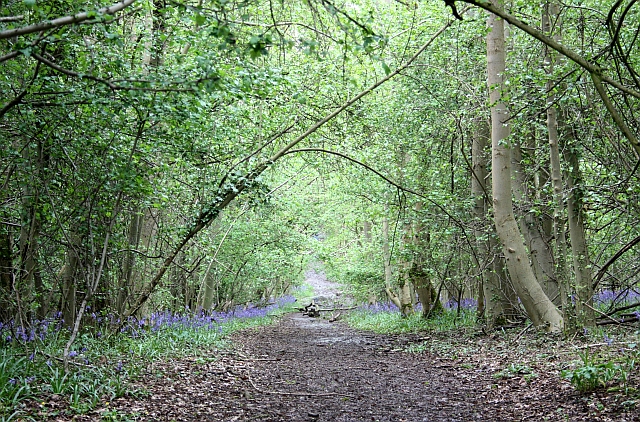
Although a small village, Birlingham boasts a few amenities for its residents. The village hall serves as a hub for community events and gatherings, while the local pub, The Swan Inn, offers a cozy spot for locals and visitors to enjoy a drink or a meal. The surrounding countryside provides ample opportunities for outdoor activities such as walking, cycling, and fishing along the river.

Birlingham is conveniently located near several larger towns and cities, making it an ideal place for those seeking a peaceful rural lifestyle with access to urban amenities. The village is well-connected by road, with easy access to the A44 and A4104, providing links to Worcester, Pershore, and beyond.

Overall, Birlingham is a charming village that offers a tranquil escape from the hustle and bustle of city life, with its beautiful surroundings, close community, and convenient location.

If you have any feedback on the listing, please let us know in the comments section below.

Birlingham Images

Images are sourced within 2km of 52.086604/-2.099415 or Grid Reference SO9343. Thanks to Geograph Open Source API. All images are credited.

Bluebells beside the A4104 Every springtime there is a magnificent display of bluebells in this extended garden beside the A4104 to the west of Pershore.
Bluebells beside the A4104
Every springtime there is a magnificent display of bluebells in this extended garden beside the A4104 to the west of Pershore.
Farm track near Defford Heading east with Bredon Hill on the right. The landowner here kindly allows access along several permitted pathways, not just the public rights of ways like this one.
Farm track near Defford
Heading east with Bredon Hill on the right. The landowner here kindly allows access along several permitted pathways, not just the public rights of ways like this one.
Glowering sky over Nafford Road
Nafford Road at Nafford Bank
Nafford Road enters Eckington
Nafford Road, Eckington
Eckington - western end of Nafford Road
Eckington - crossroads and war memorial
Eckington Bridge A close-up of this old structure.  Pleasing to the eye, but woefully inadequate for modern traffic.
Eckington Bridge
A close-up of this old structure. Pleasing to the eye, but woefully inadequate for modern traffic.
View north from Eckington Bridge
B4080 north of Eckington Bridge
B4080 at the junction for Birlingham
Lane to Birlingham
Lane to Birlingham
Birlingham crossroads
Birlingham - the lane to Nafford
Lane junction near The Grange
Lane scene near Lower End Farm
Open country near Lower End Farm
Show me another place!

Birlingham is located at Grid Ref: SO9343 (Lat: 52.086604, Lng: -2.099415)

Administrative County: Worcestershire

District: Wychavon

Police Authority: West Mercia

What 3 Words

///origin.inkjet.attitudes. Near Eckington, Worcestershire

Related Wikis

Birlingham

Birlingham is a village and civil parish in the Wychavon district of Worcestershire. The village is south of Pershore, located in a bend of the River Avon...

Pensham

Pensham is a small village located a mile or so from Pershore in Worcestershire, England. Pensham is surrounded on three sides by a loop of the River Avon...

Eckington Bridge

Eckington Bridge is a stone bridge over the River Avon in Eckington in the English county of Worcestershire. It is a Grade II* listed building and has...

Defford

Defford is a small village in the county of Worcestershire, England, located between the towns of Pershore and Upton-upon-Severn. It was once part of...

Bow Brook

The Bow Brook is a substantial brook that flows for 28.8 miles (46.3 km) through Worcestershire, England. It is a lower tributary of the River Avon which...

Defford railway station

Defford railway station was a station in Defford, Worcestershire, England. The station was opened in 1840 and closed in 1965. == References == == Further... ==

Tiddesley Wood – the Harry Green Reserve

Tiddesley Wood – the Harry Green Reserve is a nature reserve of the Worcestershire Wildlife Trust. It is situated about 1 mile west of Pershore and 7 miles...

Eckington, Worcestershire

Eckington is a small village near to the southern border of the English county of Worcestershire, according to the 2001 census it had a population of 1...

Related Videos

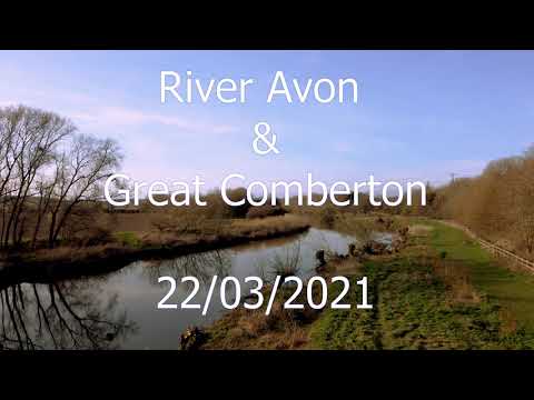
The River Avon and Great Comberton 22/03/2021

A lovely sunny evening in late March, flying over the River Avon and the village of Great Comberton, near Pershore in ...

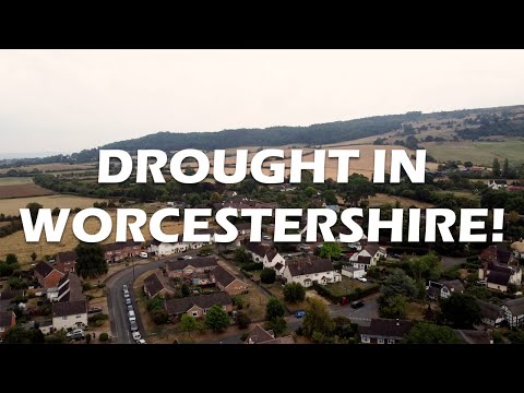
A flight over the PARCHED and DROUGHT STRICKEN Worcestershire countryside

djimini2 #worcestershire #GreatComberton #drone #drought #uk #pershore Following a prolonged dry spell and two major ...

Flying over the River Avon near Great Comberton

A shaky, brief, drone flight with my HS510 drone by HolyStone over the river Avon near Great Comberton, Worcestershire.

Walking in the flowers! The Confetti Flower Field on the Wyke Manor Estate

Wandering through the rows of delphiniums in The Confetti Flower Field - www.confettidirect.co.uk/flowerfields/

Nearby Amenities

Located within 500m of 52.086604,-2.099415
Birlingham
Place: hamlet
Wikidata: Q2288372
Lat/Long: 52.0878108/-2.100311
Booth: K6
Colour: red
Description: old red phone box with village information inside
Disused Amenity: telephone
Information: board
Man Made: telephone_box
Tourism: information
Lat/Long: 52.0866529/-2.0994447
Bus Stop
St James
Bus: yes
Naptan AtcoCode: 2000G064000
Naptan Bearing: W
Naptan BusStopType: CUS
Naptan CommonName: Church
Naptan Indicator: Adj
Naptan Landmark: opp Cricket Ground
Naptan NaptanCode: wocdjpat
Naptan Street: Church Lane
Naptan Verified: no
Public Transport: platform
Source: naptan_import
Lat/Long: 52.0871597/-2.0999785
Romanesque sculpture
Historic: monument
Lat/Long: 52.0864429/-2.0998794
Post Box
Collection Times: Mo-Fr 16:15; Sa 07:00
Post Box Mounting: pier
Post Box Type: lamp
Ref: WR10 461
Source: survey
Lat/Long: 52.0866443/-2.099481
Historic: memorial
Lat/Long: 52.0861774/-2.0999671
Post Box
Post Box Type: lamp
Ref: WR10 303
Source: memory
Source Ref: conjecture
Lat/Long: 52.0904667/-2.1015033
Entrance: main
Lat/Long: 52.086474/-2.0994171
Defibrillator
Defibrillator Location: On exterior wall of Birlingham Village Hall, facing The Avenue, just to the right of the main entrance.
Emergency: defibrillator
Ref: 4302
Ref GB The Circuit: 2D8FEB9F-BAC4-4C7F-8767-F81132121DB0
Lat/Long: 52.0864557/-2.0994305
Waste Basket
Lat/Long: 52.0866438/-2.099471
Power: pole
Lat/Long: 52.0841303/-2.0936076
Power: pole
Lat/Long: 52.0848152/-2.093322
Power: pole
Lat/Long: 52.0853385/-2.0930806
Power: pole
Lat/Long: 52.0856302/-2.0942554
Power: pole
Lat/Long: 52.0854143/-2.0955241
Power: pole
Lat/Long: 52.085329/-2.0960089
Power: pole
Lat/Long: 52.085273/-2.0963133
Swan Inn
Power: pole
Transformer: distribution
Voltage Primary: 11000
Lat/Long: 52.0860035/-2.097816
Birlingham
Location Transition: yes
Power: pole
Transformer: distribution
Voltage Primary: 11000
Lat/Long: 52.0851568/-2.0969899
Power: pole
Lat/Long: 52.0849957/-2.0981513
Power: pole
Lat/Long: 52.0821829/-2.1001978
Birlingham Moors
Power: pole
Transformer: distribution
Voltage Primary: 11000
Lat/Long: 52.0828323/-2.0992228
Power: pole
Lat/Long: 52.0832197/-2.0986207
Power: pole
Lat/Long: 52.0840727/-2.0989332
Power: pole
Lat/Long: 52.0848432/-2.0992228
Birlingham Rectory
Power: pole
Transformer: distribution
Voltage Primary: 11000
Lat/Long: 52.0846467/-2.1003111
Power: pole
Lat/Long: 52.0849709/-2.1013096
Power: pole
Lat/Long: 52.0853583/-2.1026427
Power: pole
Lat/Long: 52.08561/-2.1038771
Birlingham Cricket Ground
Power: pole
Transformer: distribution
Voltage Primary: 11000
Lat/Long: 52.0873253/-2.0993757
Birlingham Firs
Power: pole
Transformer: distribution
Voltage Primary: 11000
Lat/Long: 52.0867905/-2.1026413
Location Transition: yes
Power: pole
Lat/Long: 52.0873641/-2.1033675
Birlingham Court
Power: pole
Transformer: distribution
Voltage Primary: 11000
Lat/Long: 52.0902086/-2.1022537
Power: pole
Lat/Long: 52.0899482/-2.1024321
Power: pole
Lat/Long: 52.0897027/-2.1031187
Power: pole
Lat/Long: 52.0894349/-2.1039677
Power: pole
Lat/Long: 52.0886586/-2.104205
Power: pole
Lat/Long: 52.0878659/-2.1044639
Power: pole
Lat/Long: 52.0875231/-2.1045712
Power: pole
Lat/Long: 52.0871514/-2.1046704
Power: pole
Lat/Long: 52.086662/-2.1048246
Power: pole
Lat/Long: 52.085856/-2.1050808
Power: pole
Lat/Long: 52.0859953/-2.106375
The data included in this document is from www.openstreetmap.org. The data is made available under ODbL.

Have you been to Birlingham?

Leave your review of Birlingham below (or comments, questions and feedback).