Rhiw Saeson

Settlement in Montgomeryshire

Wales

Rhiw Saeson

Glyndwr's Way near Llanbrynmair Glyndwr's Way has been re-routed and no longer passes through Llanbrynmair.
Glyndwr's Way near Llanbrynmair Credit: Dave Kelly

The requested URL returned error: 429 Too Many Requests

If you have any feedback on the listing, please let us know in the comments section below.
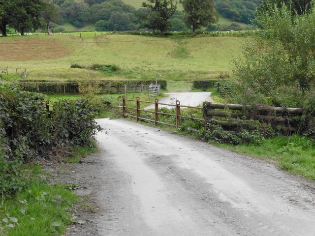
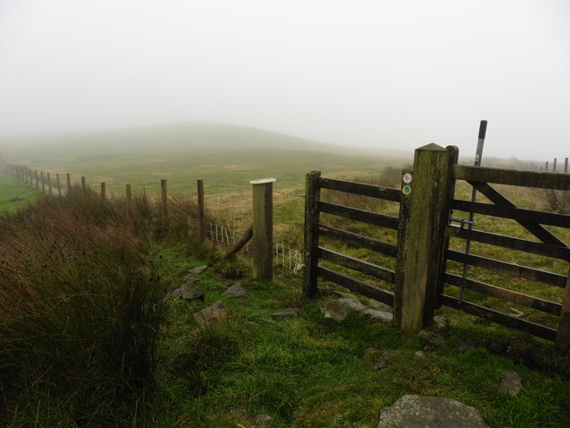
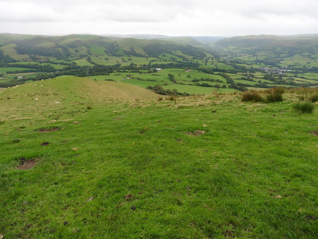
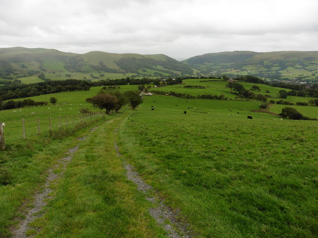
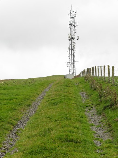
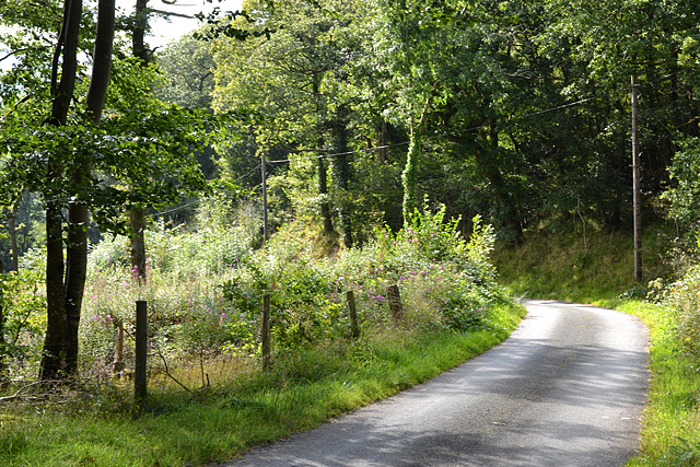
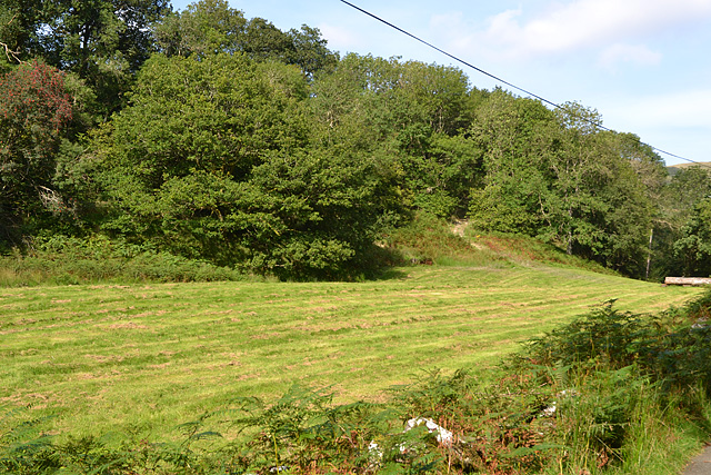
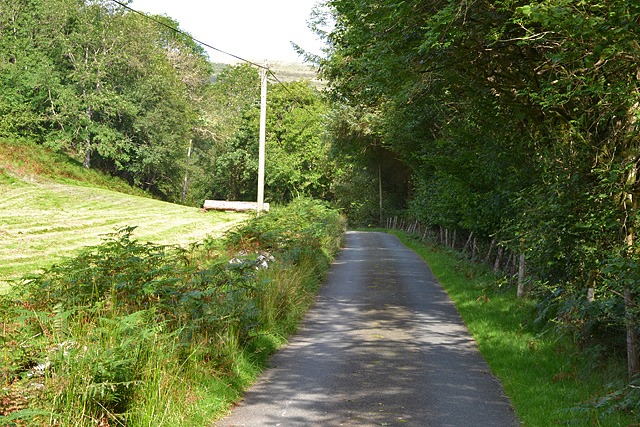
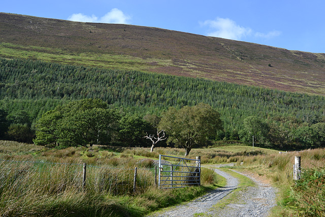
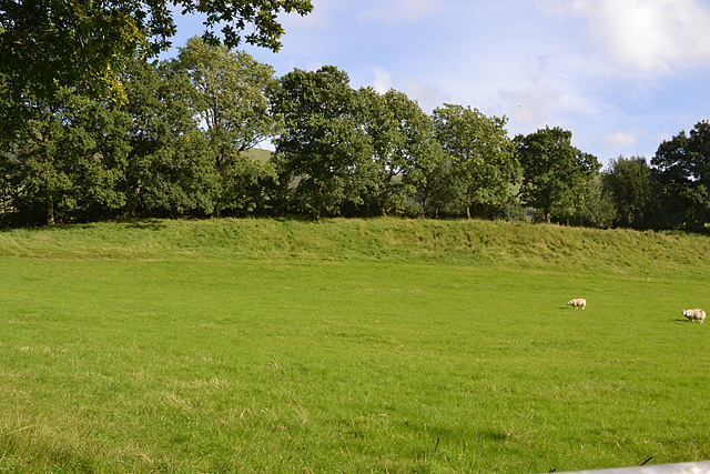
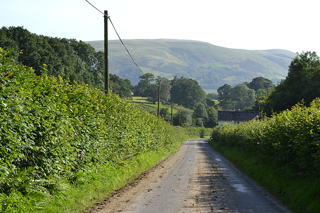
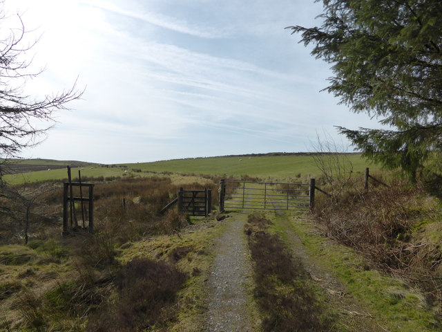
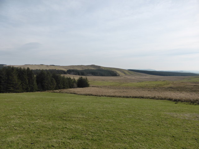
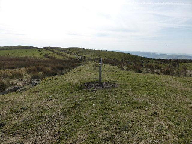
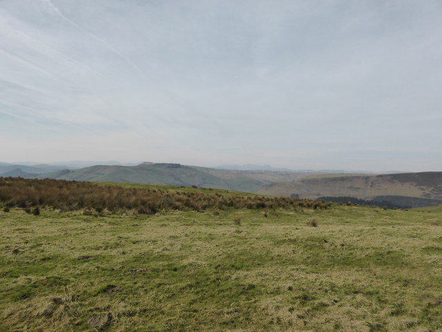
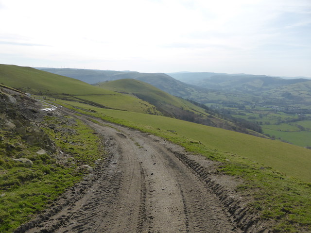
Rhiw Saeson Images

Images are sourced within 2km of 52.634543/-3.624671 or Grid Reference SH9005. Thanks to Geograph Open Source API. All images are credited.

Glyndwr's Way near Llanbrynmair Glyndwr's Way has been re-routed and no longer passes through Llanbrynmair.
Glyndwr's Way near Llanbrynmair
Glyndwr's Way has been re-routed and no longer passes through Llanbrynmair.
Glyndwr's Way near Cerrig y Tan
Glyndwr's Way near Llanbrynmair
Glyndwr's Way near Llanbrynmair Looking up the hill towards the communication mast. The path passes by the side of the mast.
Glyndwr's Way near Llanbrynmair
Looking up the hill towards the communication mast. The path passes by the side of the mast.
Minor road descending the Clegyrnant valley Passing through woodland surrounding the stream.
Minor road descending the Clegyrnant valley
Passing through woodland surrounding the stream.
Gate into woodland Despite being not that old, the gate is buried in undergrowth and clearly hasn't been opened for some time.
Gate into woodland
Despite being not that old, the gate is buried in undergrowth and clearly hasn't been opened for some time.
Mown field Obviously being brought back into use from the state seen in <a href="https://www.geograph.org.uk/photo/520613">SH9106 : Fallow Land</a>.
Mown field
Obviously being brought back into use from the state seen in SH9106 : Fallow Land.
Minor road heading up Cwm Clegyrnant In quite a good state, despite serving only a few farms and dwellings up the valley.
Minor road heading up Cwm Clegyrnant
In quite a good state, despite serving only a few farms and dwellings up the valley.
The southern flanks of Mynydd Rhiw-Saeson Grazing land in the foreground, forestry on the lower slopes and rough hill grazing on the very steep slopes higher up.
The southern flanks of Mynydd Rhiw-Saeson
Grazing land in the foreground, forestry on the lower slopes and rough hill grazing on the very steep slopes higher up.
Field south of Pandy Good grazing land.
Field south of Pandy
Good grazing land.
Road heading south from Pandy The principal access to the Rhiw-Saeson valley. The muck on the road is due to stuff being carted between fields.
Road heading south from Pandy
The principal access to the Rhiw-Saeson valley. The muck on the road is due to stuff being carted between fields.
Gateway at the forest edge on Glyndwr's Way At last we are nearly out of the plantation and onto open uplands - with views!
Gateway at the forest edge on Glyndwr's Way
At last we are nearly out of the plantation and onto open uplands - with views!
Upland section of Glyndwr's Way A mix of sheep pasture and moorland and marsh, but as always on GW, an interesting section.
Upland section of Glyndwr's Way
A mix of sheep pasture and moorland and marsh, but as always on GW, an interesting section.
View to forestry blocks from Glyndwr's Way Yes again the landscape through which this excellent long-distance waymarked path passes changes - the forestry plantation giving way to open moorland and some sheep pasture.
View to forestry blocks from Glyndwr's Way
Yes again the landscape through which this excellent long-distance waymarked path passes changes - the forestry plantation giving way to open moorland and some sheep pasture.
An upland section of Glyndwr's Way High above Llanbrynmair.
An upland section of Glyndwr's Way
High above Llanbrynmair.
View from part of Glyndwr's Way near Cerrig y Tan Looking north-west towards the Cadair Idris range on the horizon in the distance.
View from part of Glyndwr's Way near Cerrig y Tan
Looking north-west towards the Cadair Idris range on the horizon in the distance.
On Glyndwr's Way above Llanbrynmair in early spring A lovely section contouring around these hilltops above Llanbrynmair.
On Glyndwr's Way above Llanbrynmair in early spring
A lovely section contouring around these hilltops above Llanbrynmair.
Show me another place!

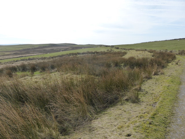
Rhiw Saeson is located at Grid Ref: SH9005 (Lat: 52.634543, Lng: -3.624671)

Unitary Authority: Powys

Police Authority: Dyfed Powys

Also known as: Plas rhiw-saeson

What 3 Words

///scowls.fellow.shuttling. Near Cwm-Llinau, Powys

Related Wikis

Pandy, Powys

Pandy is a small village in Powys, Wales located off the main A470 road near Llanbrynmair.

Llanbrynmair railway station

Llanbrynmair railway station was a railway station on the Newtown and Machynlleth Railway (N&MR) in Mid-Wales, serving the village of Llanbrynmair. After...

Llanbrynmair

Llanbrynmair or Llanbryn-mair () is a village, community and electoral ward in Montgomeryshire, Powys, on the A470 road between Caersws and Machynlleth...

Domen Fawr, Tafolwern

Domen Fawr, or Tafolwern Castle was a motte-and-bailey castle of the Middle Ages. It is situated in Tafolwern, near Llanbrynmair in Powys. It is registered...

Have you been to Rhiw Saeson?

Leave your review of Rhiw Saeson below (or comments, questions and feedback).