Birkhill

Settlement in Angus

Scotland

Birkhill

Old trees Particularly stunning tree in Camperdown Country Park.
Old trees Credit: Aleks Scholz

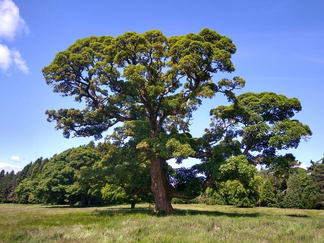
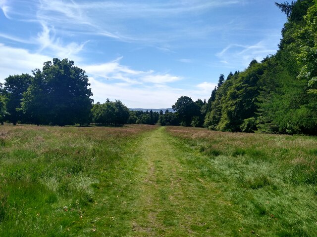
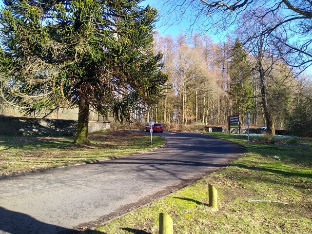
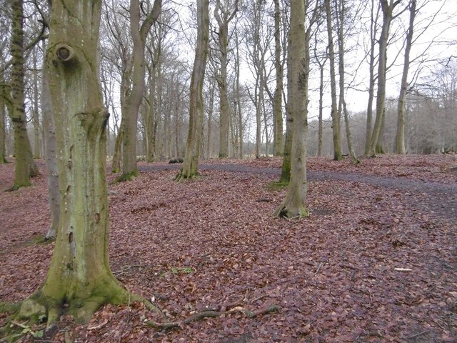
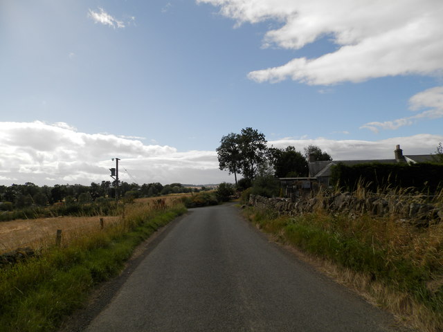
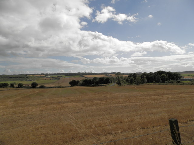
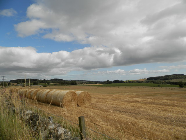
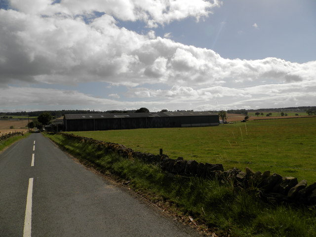
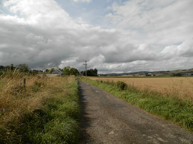
Birkhill is a small village located in the county of Angus, Scotland. Situated about 6 miles northwest of Dundee, it is nestled in the beautiful rolling countryside that characterizes this region. The village is surrounded by picturesque landscapes, with farmland, woodlands, and hills serving as the backdrop.

Birkhill is a quaint and peaceful community, known for its sense of tranquility and close-knit atmosphere. The village is home to approximately 1,500 residents who enjoy the rural lifestyle and strong community spirit. The local amenities include a village hall, a primary school, a post office, and a few shops, providing the essentials for its residents.

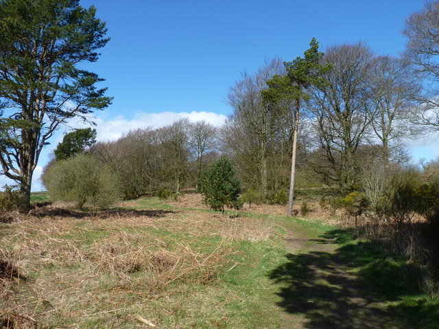
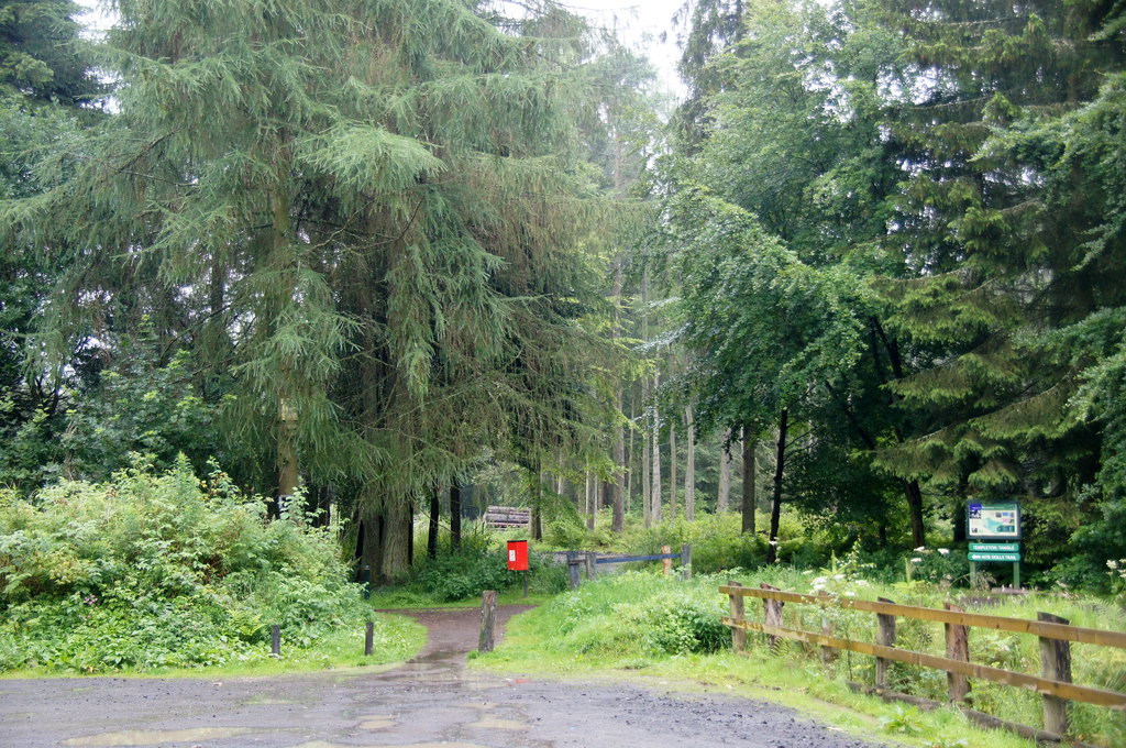
One of the notable features of Birkhill is its proximity to the famous Balgavies Loch, a freshwater loch renowned for its rich biodiversity. The loch attracts a wide variety of bird species, making it a popular spot for birdwatching enthusiasts and nature lovers. Additionally, the surrounding area offers several nature trails, allowing visitors to explore the stunning landscapes and enjoy outdoor activities such as hiking and cycling.

The village is well-connected to nearby towns and cities, with regular bus services providing transportation links to Dundee and other surrounding areas. Birkhill's location also benefits from being close to major road networks, including the A90, making it easily accessible for those commuting or exploring the wider region.

Overall, Birkhill offers a serene and idyllic setting for those seeking a tranquil lifestyle amidst the natural beauty of Angus.

If you have any feedback on the listing, please let us know in the comments section below.
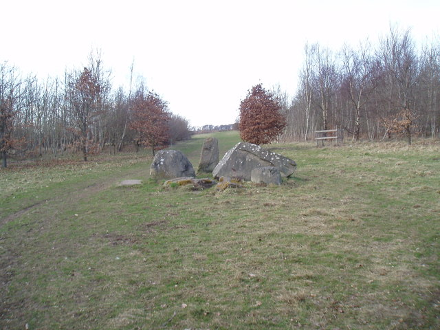
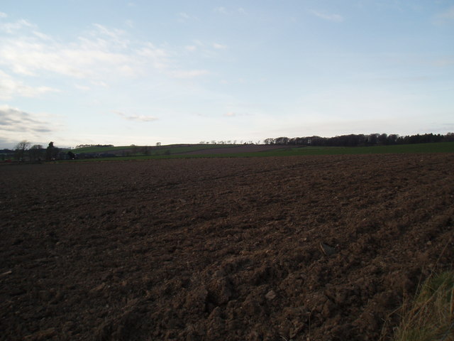
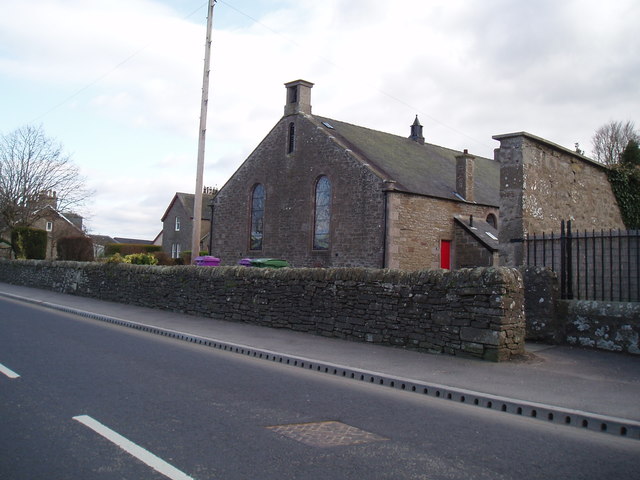
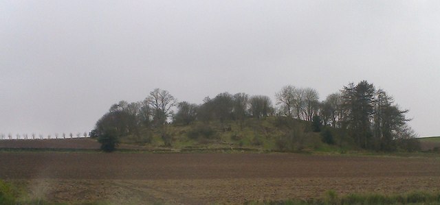
Birkhill Images

Images are sourced within 2km of 56.496028/-3.054916 or Grid Reference NO3534. Thanks to Geograph Open Source API. All images are credited.

Old trees Particularly stunning tree in Camperdown Country Park.
Old trees
Particularly stunning tree in Camperdown Country Park.
Walking in Camperdown Camperdown Country Park used to be a golf course. Now the former greens are wild meadows with narrow paths mown into them for convenient walking. Over and over again one encounters these green lanes between tall trees. Lots of dog walkers around, but also lots of space to get lost.
Walking in Camperdown
Camperdown Country Park used to be a golf course. Now the former greens are wild meadows with narrow paths mown into them for convenient walking. Over and over again one encounters these green lanes between tall trees. Lots of dog walkers around, but also lots of space to get lost.
Camperdown, north entry This is the entry or exit on the north side of Camperdown Country Park.
Camperdown, north entry
This is the entry or exit on the north side of Camperdown Country Park.
Woodland, Downfield Golf Club Woods between the road and course.
Woodland, Downfield Golf Club
Woods between the road and course.
Hanging timber warning After a couple of storms (now given silly names) there is a fair bit of timber up there awaiting its turn to fly around.
Hanging timber warning
After a couple of storms (now given silly names) there is a fair bit of timber up there awaiting its turn to fly around.
Birkhill Cemetery
Birkhill Cemetery
Path, Templeton Woods Towards the carpark.
Path, Templeton Woods
Towards the carpark.
Edge of Templeton Woods A field entrance and path in the direction of Birkhill.
Edge of Templeton Woods
A field entrance and path in the direction of Birkhill.
Standing stone at Woodside of Stoneygroves Situated at an entrance to Backmuir Wood, the standing stone is surrounded by large stones and some recumbent stones.
Standing stone at Woodside of Stoneygroves
Situated at an entrance to Backmuir Wood, the standing stone is surrounded by large stones and some recumbent stones.
Field at Backmuir Wood
Muirhead Church The church was built following The Disruption of 1843. Local stone was used and transported by local farmers. The church is linked to St Marnock's Church, Fowlis Easter, Liff Church and Lundie Church.
Muirhead Church
The church was built following The Disruption of 1843. Local stone was used and transported by local farmers. The church is linked to St Marnock's Church, Fowlis Easter, Liff Church and Lundie Church.
An interesting looking hill seen from the Birkie Inn
Backmuir Wood Southern fringe of the forested area.
Backmuir Wood
Southern fringe of the forested area.
Minor road at Templelands
Field at Templelands The buildings of Templeton (in adjacent grid square) can be seen to centre right of image.
Field at Templelands
The buildings of Templeton (in adjacent grid square) can be seen to centre right of image.
Round bales in field near Templelands
Templeton Farm
Templeton Farm
Track to North Mains of Liff
Show me another place!

Birkhill is located at Grid Ref: NO3534 (Lat: 56.496028, Lng: -3.054916)

Unitary Authority: Angus

Police Authority: Tayside

What 3 Words

///frightens.view.desktop. Near Muirhead, Angus

Nearby Locations

Birkhill

Related Wikis

Birkhill, Angus

Birkhill and neighbouring Muirhead are two small villages in Angus, just to the west of Dundee, Scotland. == Community features == Features of Muirhead...

Murder of Elizabeth McCabe

The murder of Elizabeth McCabe was the infamous murder of a 20-year-old woman in Dundee, Scotland in February 1980. The case is one of Scotland's most...
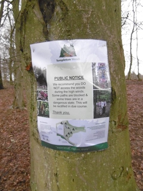
Templeton, Angus

Templeton, Angus is a rural area to the north west of Dundee, Scotland, UK, close to Camperdown House. == See also == List of places in Angus

Backmuir Wood

Backmuir Wood is a 140.58 acres (56.89 ha) woodland in the Scottish county of Angus, about 4 kilometres (2 mi) northwest of Dundee. It is located south...

Nearby Amenities

Located within 500m of 56.496028,-3.054916
Turning Circle
Lat/Long: 56.4983872/-3.0599435
Bus Stop
Birkhill Inn
Local Ref: AT
Naptan AtcoCode: 6490IM1273
Naptan Bearing: SE
Naptan CommonName: Birkhill Inn
Naptan Indicator: at
Naptan Landmark: Birkhill Inn
Naptan NaptanCode: 26423686
Naptan Street: Coupar Angus Road
Naptan Verified: no
Operator: Stagecoach
Route Ref: 57;59
Shelter: no
Source: naptan_import
Towards: Dundee City Centre
Lat/Long: 56.4927537/-3.0514475
Bus Stop
Sidlaw Gardens
Check Date Shelter: 2022-04-17
Naptan AtcoCode: 6490IM1461
Naptan Bearing: NW
Naptan CommonName: Sidlaw Gardens
Naptan Indicator: opp Sidlaw Gardens
Naptan Landmark: Sidlaw Gardens
Naptan NaptanCode: 26425893
Naptan Street: Coupar Angus Road
Naptan Verified: no
Operator: Stagecoach
Route Ref: 57;59
Shelter: no
Source: naptan_import
Towards: Blairgowrie
Lat/Long: 56.4948101/-3.0608374
Bus Stop
Sidlaw Gardens
Check Date Shelter: 2022-04-17
Naptan AtcoCode: 6490IM1462
Naptan Bearing: SE
Naptan CommonName: Sidlaw Gardens
Naptan Indicator: at Sidlaw Gardens
Naptan Landmark: Retirement Complex
Naptan NaptanCode: 26425896
Naptan Street: Coupar Angus Road
Naptan Verified: no
Operator: Stagecoach
Route Ref: 57;59
Shelter: no
Source: naptan_import
Towards: Dundee City Centre
Lat/Long: 56.495047/-3.0609747
Bus Stop
Dronley Road
Naptan AtcoCode: 6490IM599
Naptan Bearing: SE
Naptan CommonName: Dronley Road
Naptan Indicator: at Dronley Road
Naptan Landmark: Dronley Road
Naptan NaptanCode: 26423685
Naptan Street: Coupar Angus Road
Naptan Verified: no
Operator: Stagecoach
Route Ref: 57;59
Shelter: yes
Source: naptan_import
Towards: Dundee City Centre
Lat/Long: 56.4942604/-3.0577733
Bus Stop
Post Box Road
Check Date Shelter: 2022-04-17
Naptan AtcoCode: 6490IM600
Naptan Bearing: SE
Naptan CommonName: Post Box Road
Naptan Indicator: at Post Box Road
Naptan Landmark: Post Box Road
Naptan NaptanCode: 26423689
Naptan Street: Coupar Angus Road
Naptan Verified: no
Operator: Stagecoach
Route Ref: 57;59
Shelter: yes
Source: naptan_import
Towards: Dundee City Centre
Lat/Long: 56.4933935/-3.054286
Bus Stop
Post Box Road
Bench: no
Bin: no
Check Date Shelter: 2023-05-23
Lit: no
Naptan AtcoCode: 6490IM609
Naptan Bearing: NW
Naptan CommonName: Post Box Road
Naptan Indicator: opp Post Box Road
Naptan Landmark: Post Box Road
Naptan NaptanCode: 26423693
Naptan Street: Coupar Angus Road
Naptan Verified: no
Operator: Stagecoach
Route Ref: 57;59
Shelter: no
Source: naptan_import
Towards: Blairgowrie
Lat/Long: 56.4931/-3.053493
Bus Stop
Dronley Road
Naptan AtcoCode: 6490IM610
Naptan Bearing: NW
Naptan CommonName: Dronley Road
Naptan Indicator: opp Dronley Road
Naptan Landmark: Dronley Road
Naptan NaptanCode: 26423692
Naptan Street: Coupar Angus Road
Naptan Verified: no
Operator: Stagecoach
Route Ref: 57;59
Shelter: no
Source: naptan_import
Towards: Blairgowrie
Lat/Long: 56.4942652/-3.05852
Power: tower
Lat/Long: 56.4956891/-3.0630298
Birkhill
Place: village
Population: 2010
Wikidata: Q4916475
Wikipedia: en:Birkhill, Angus
Lat/Long: 56.4962964/-3.056782
Mini Roundabout
Direction: clockwise
Lat/Long: 56.4976814/-3.0586376
Crossing
Lat/Long: 56.4933001/-3.0541391
Power: tower
Lat/Long: 56.4990704/-3.0602131
Power: tower
Lat/Long: 56.4978076/-3.0612651
Barrier: cycle_barrier
Cycle Barrier: double
Lat/Long: 56.4982265/-3.0609533
Barrier: cycle_barrier
Cycle Barrier: double
Lat/Long: 56.4987327/-3.0588711
Power: pole
Lat/Long: 56.499948/-3.0584624
Power: pole
Lat/Long: 56.4994724/-3.058955
Power: pole
Lat/Long: 56.4991737/-3.0592974
Crossing
Crossing: marked
Lat/Long: 56.4991223/-3.0542353
Post Box
Collection Times: Mo-Fr 16:30; Sa 11:30
Operator: Royal Mail
Post Box Design: LB3426
Post Box Mounting: pier
Post Box Type: lamp
Ref: DD2 70
Royal Cypher: scottish_crown
Source: survey
Lat/Long: 56.493709/-3.0545382
Crossing
Crossing: uncontrolled
Crossing Markings: no
Tactile Paving: yes
Lat/Long: 56.4982879/-3.0609005
Barrier: bollard
Fixme: check access
Motor Vehicle: no
Lat/Long: 56.4957659/-3.0519482
Noexit: yes
Lat/Long: 56.4942427/-3.0590192
Power: pole
Lat/Long: 56.4999886/-3.0566408
Power: pole
Lat/Long: 56.4993291/-3.0564523
Power: pole
Lat/Long: 56.4931955/-3.0542892
Power: pole
Lat/Long: 56.4930773/-3.0556154
Power: pole
Lat/Long: 56.4929639/-3.056804
Power: pole
Lat/Long: 56.492854/-3.0580009
Barrier: cycle_barrier
Cycle Barrier: double
Lat/Long: 56.4983476/-3.0608492
The data included in this document is from www.openstreetmap.org. The data is made available under ODbL.

Have you been to Birkhill?

Leave your review of Birkhill below (or comments, questions and feedback).