Pinley Green

Settlement in Warwickshire Warwick

England

Pinley Green

St Michael & All Angels Church, Claverdon
St Michael & All Angels Church, Claverdon Credit: Ian S

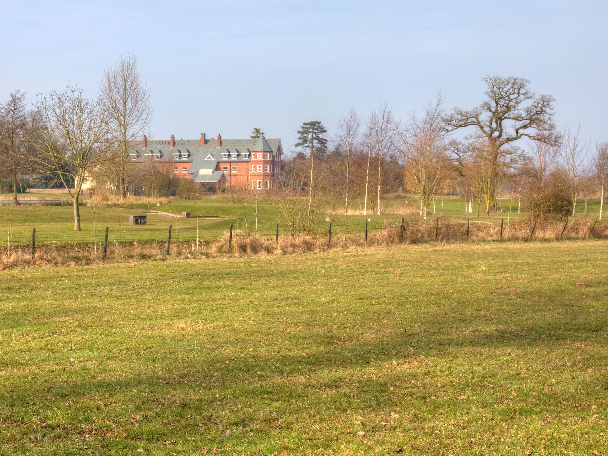
Pinley Green is a small village located in Warwickshire, England. Situated approximately 4 miles east of Coventry, the village is surrounded by picturesque countryside and offers a peaceful and idyllic setting for its residents.

The village is predominantly residential, with a population of around 500 people. The properties in Pinley Green consist of a mix of traditional cottages and more modern houses, giving the village a charming and diverse architectural character. The community is tight-knit and friendly, with a strong sense of community spirit evident in various local initiatives and events.

Despite its rural location, Pinley Green benefits from excellent transport links. The nearby A46 provides easy access to Coventry, as well as connecting to the M6 and M69 motorways, making it convenient for commuters. The village is also served by regular bus services, offering connections to nearby towns and cities.

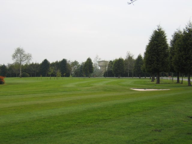
For outdoor enthusiasts, Pinley Green offers ample opportunities for exploring the surrounding countryside. The village is located close to several nature reserves and parks, providing scenic walking and cycling routes. The nearby Warwickshire countryside offers a wealth of outdoor activities, including horse riding, fishing, and golf.

In terms of amenities, Pinley Green has limited facilities within the village itself. However, nearby towns and villages provide a range of shops, supermarkets, and services, ensuring residents have access to all necessary amenities. The village also benefits from being within a short distance of several schools, making it an attractive location for families.

Overall, Pinley Green offers a peaceful and picturesque place to live, with a strong sense of community and easy access to both rural and urban amenities.

If you have any feedback on the listing, please let us know in the comments section below.
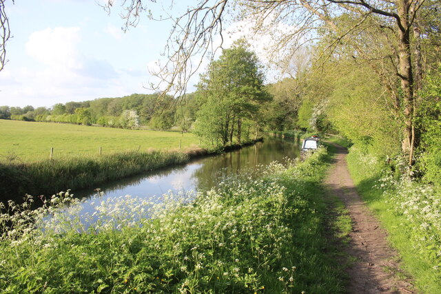
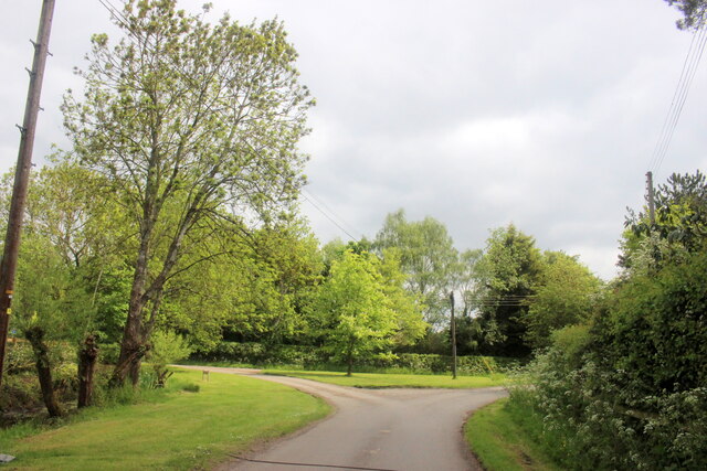
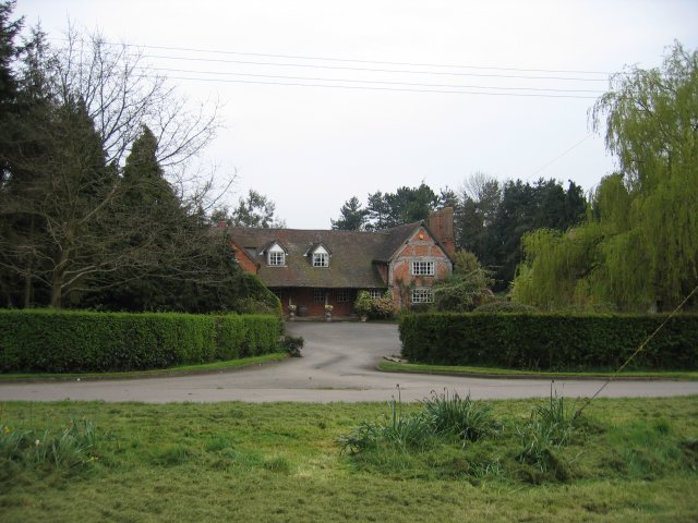
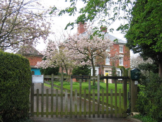
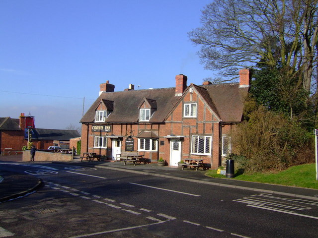
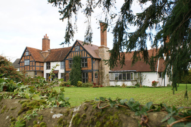
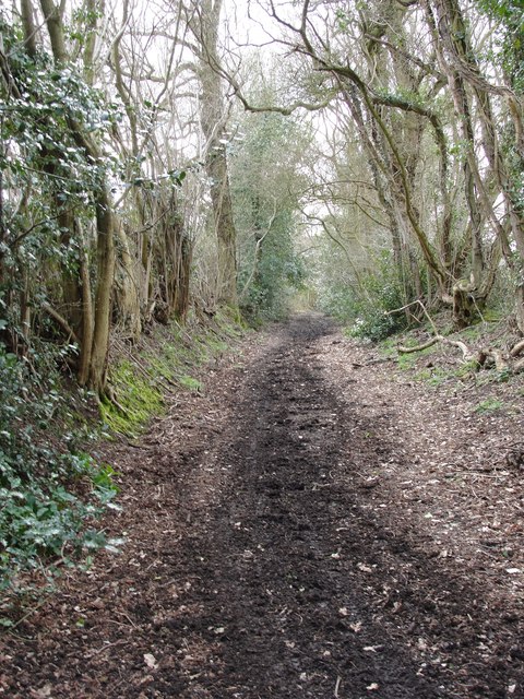
Pinley Green Images

Images are sourced within 2km of 52.29423/-1.698062 or Grid Reference SP2066. Thanks to Geograph Open Source API. All images are credited.

St Michael & All Angels Church, Claverdon
Stratford Upon Avon Canal This is in the middle of the long stretch between lock 33 and lock 32 of the canal.
Stratford Upon Avon Canal
This is in the middle of the long stretch between lock 33 and lock 32 of the canal.
Road Junction in Holywell Holywell is a small village well off the beaten track just north of Claverdon.
Road Junction in Holywell
Holywell is a small village well off the beaten track just north of Claverdon.
Holywell A typical Warwickshire timber framed building seen across the village green.
Holywell
A typical Warwickshire timber framed building seen across the village green.
Lye Green Looking across the golf course in front of the Ardencote Hotel with the water tower at Lye Green in the trees
Lye Green
Looking across the golf course in front of the Ardencote Hotel with the water tower at Lye Green in the trees
Claverdon The Church of St. Michael and All Angels.
Claverdon
The Church of St. Michael and All Angels.
Holywell House A lovely display of blossom, seen from the lane as it enters the small village of Holywell.
Holywell House
A lovely display of blossom, seen from the lane as it enters the small village of Holywell.
Crown  Inn, Claverdon Nice traditional local with Brew XI to bring back memories of Cape Hill and a guest beer.
Crown Inn, Claverdon
Nice traditional local with Brew XI to bring back memories of Cape Hill and a guest beer.
Claverdon Hall This manor house is in lovely condition.
Claverdon Hall
This manor house is in lovely condition.
St. Michael and All Angels' church, Claverdon Looking east across the large churchyard.
St. Michael and All Angels' church, Claverdon
Looking east across the large churchyard.
St. Michael and All Angels' church, Claverdon View from the south.
St. Michael and All Angels' church, Claverdon
View from the south.
St. Michael and All Angels' church, Claverdon - interior Looking along the Victorian nave and chancel.
St. Michael and All Angels' church, Claverdon - interior
Looking along the Victorian nave and chancel.
St. Michael and All Angels' church, Claverdon - interior View from the pulpit towards the west end and ringing chamber at the base of the 15th century tower.
St. Michael and All Angels' church, Claverdon - interior
View from the pulpit towards the west end and ringing chamber at the base of the 15th century tower.
St. Michael and All Angels' church, Claverdon - window A modern window in the south aisle.
This caught my eye for its simple but effective design.
St. Michael and All Angels' church, Claverdon - window
A modern window in the south aisle. This caught my eye for its simple but effective design.
View from Claverdon churchyard The Church Centre (Hall) is over to the right.
Sheltered housing to the left.
View from Claverdon churchyard
The Church Centre (Hall) is over to the right. Sheltered housing to the left.
Country path A country path and bridleway linking Holywell and Yarningdale Common near Claverdon. In medieval times every road was like this - time seems to have stood still here.
Country path
A country path and bridleway linking Holywell and Yarningdale Common near Claverdon. In medieval times every road was like this - time seems to have stood still here.
The Church of St Michael and All Angels, Claverdon
Claverdon, St Michael and All Angels' Church View of the northern side of the church.
Claverdon, St Michael and All Angels' Church
View of the northern side of the church.
Show me another place!

Pinley Green is located at Grid Ref: SP2066 (Lat: 52.29423, Lng: -1.698062)

Administrative County: Warwickshire

District: Warwick

Police Authority: Warwickshire

What 3 Words

///guitar.driving.polar. Near Hatton, Warwickshire

Related Wikis

Pinley Priory

Pinley Priory, also called Pinley Abbey, was a Cistercian nunnery in the parish of Rowington in Warwickshire, England. It was founded in the early 12th...

Ardencote Manor

Ardencote Manor is a hotel and former manor house located 0.5 miles (0.8 km) north of the village of Claverdon, Warwickshire, England. The manor was originally...
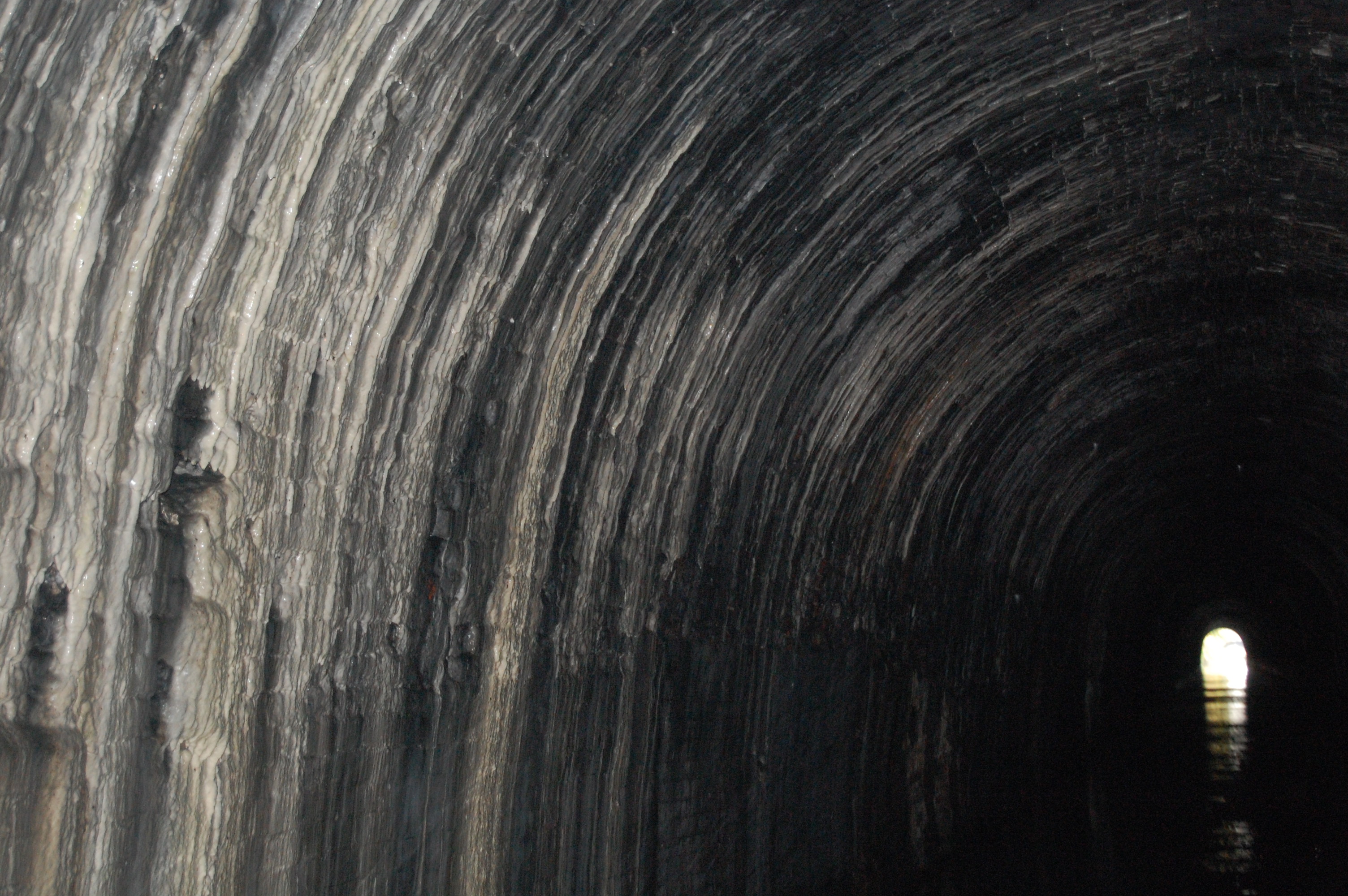
Shrewley Tunnel

Shrewley Tunnel is a canal tunnel near Shrewley, Warwickshire, England, which opened in 1799. It became part of the Grand Union Canal in 1929. == History... ==

Mercia Mudstone Group

The Mercia Mudstone Group is an early Triassic lithostratigraphic group (a sequence of rock strata) which is widespread in Britain, especially in the English...

Shrewley

Shrewley is a village and civil parish in Warwickshire, England, about 5 miles north-west of Warwick. It consists of Little Shrewley, and Shrewley Common...

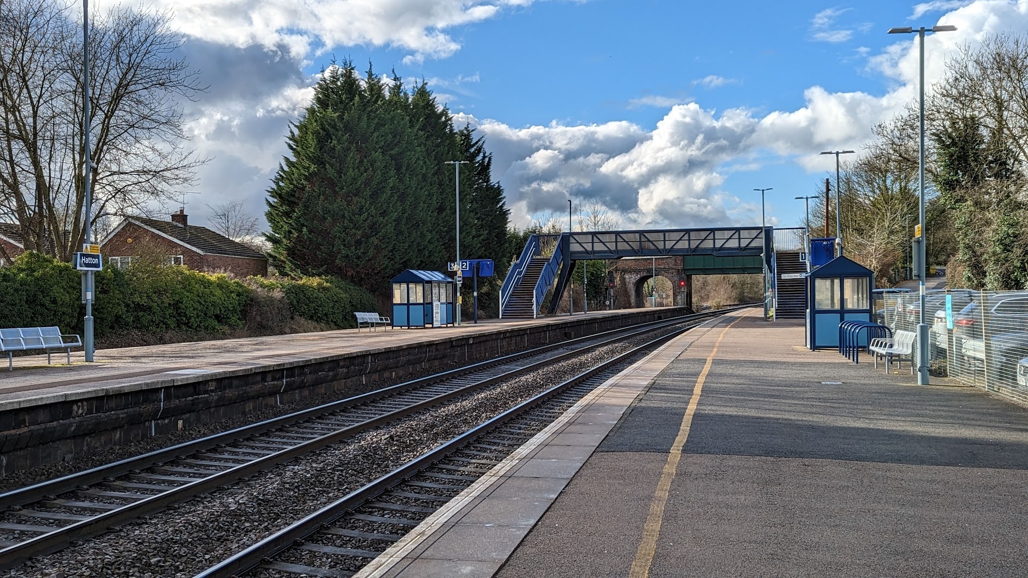
Hatton railway station (England)

Hatton railway station takes the name of the village of Hatton in Warwickshire, England, although it is about 1 mile (1.6 km) from the village. It is situated...

Claverdon

Claverdon is a village and civil parish in the Stratford-on-Avon district of Warwickshire, England, about 5 miles (8.0 km) west of the county town of Warwick...

Claverdon railway station

Claverdon railway station serves the village of Claverdon in Warwickshire, England. It is managed by West Midlands Railway, although most of the services...

Nearby Amenities

Located within 500m of 52.29423,-1.698062
Crossroads
Naptan AtcoCode: 4200F052700
Naptan Bearing: NE
Naptan BusStopType: CUS
Naptan CommonName: Crossroads
Naptan Indicator: Jcn
Naptan NaptanCode: warawatj
Naptan Street: Crossroads
Naptan Verified: no
Source: naptan_import
Lat/Long: 52.2958669/-1.6971716
Crossroads
Naptan AtcoCode: 4200F052701
Naptan Bearing: SW
Naptan BusStopType: CUS
Naptan CommonName: Crossroads
Naptan Indicator: Jcn
Naptan NaptanCode: wardjgma
Naptan Street: Crossroads
Naptan Verified: no
Source: naptan_import
Lat/Long: 52.2957586/-1.6970257
Pinley Green
Place: hamlet
Source: OS_OpenData_StreetView
Lat/Long: 52.2952431/-1.6973438
Board Type: notice
Check Date: 2024-05-16
Information: board
Tourism: information
Lat/Long: 52.2953973/-1.6969173
Post Box
Collection Times: Mo-Fr 16:00; Sa 10:00
Operator: Royal Mail
Operator Wikidata: Q638098
Post Box Type: lamp
Ref: CV35 86
Royal Cypher: EIIR
Royal Cypher Wikidata: Q33102113
Source: survey
Lat/Long: 52.2954186/-1.6968798
Defibrillator
Access: yes
Booth: K6
Covered: booth
Defibrillator Location: inside old red phone box in Pinley Green
Disused Amenity: telephone
Emergency: defibrillator
Indoor: no
Man Made: telephone_box
Source: survey
Lat/Long: 52.2958163/-1.697404
Material: wood
Operator: National Grid Electricity Distribution
Operator Wikidata: Q7988183
Power: pole
Source: bing
Lat/Long: 52.2935618/-1.6944788
Material: wood
Operator: National Grid Electricity Distribution
Operator Wikidata: Q7988183
Power: pole
Source: bing
Lat/Long: 52.2928629/-1.6950247
Material: wood
Operator: National Grid Electricity Distribution
Operator Wikidata: Q7988183
Power: pole
Source: bing
Lat/Long: 52.2921239/-1.6956054
Material: wood
Operator: National Grid Electricity Distribution
Operator Wikidata: Q7988183
Power: pole
Source: bing
Lat/Long: 52.2913286/-1.6954002
Material: wood
Operator: National Grid Electricity Distribution
Operator Wikidata: Q7988183
Power: pole
Source: bing
Lat/Long: 52.2913471/-1.6935548
Material: wood
Operator: National Grid Electricity Distribution
Operator Wikidata: Q7988183
Power: pole
Source: bing
Lat/Long: 52.291361/-1.6950448
Material: wood
Operator: National Grid Electricity Distribution
Operator Wikidata: Q7988183
Power: pole
Source: bing
Lat/Long: 52.2912749/-1.6953613
Material: wood
Operator: National Grid Electricity Distribution
Operator Wikidata: Q7988183
Power: pole
Source: bing
Lat/Long: 52.2908352/-1.6946183
Material: wood
Operator: National Grid Electricity Distribution
Operator Wikidata: Q7988183
Power: pole
Source: bing
Lat/Long: 52.2970944/-1.7027387
Material: wood
Power: pole
Source: bing
Lat/Long: 52.2962734/-1.7030981
Material: wood
Power: pole
Source: bing
Lat/Long: 52.2953786/-1.7040798
Material: wood
Power: pole
Source: bing
Lat/Long: 52.2944706/-1.7050964
Material: wood
Power: pole
Source: bing
Lat/Long: 52.2914275/-1.7011562
Material: wood
Power: pole
Source: bing
Lat/Long: 52.2916768/-1.7022572
Material: wood
Power: pole
Source: bing
Lat/Long: 52.2919434/-1.7034186
Material: wood
Operator: National Grid Electricity Distribution
Operator Wikidata: Q7988183
Power: pole
Source: bing
Lat/Long: 52.2968164/-1.6927408
Material: wood
Operator: National Grid Electricity Distribution
Operator Wikidata: Q7988183
Power: pole
Source: bing
Lat/Long: 52.2965055/-1.6932249
Material: wood
Operator: National Grid Electricity Distribution
Operator Wikidata: Q7988183
Power: pole
Source: bing
Lat/Long: 52.2961758/-1.6937198
Material: wood
Operator: National Grid Electricity Distribution
Operator Wikidata: Q7988183
Power: pole
Source: bing
Lat/Long: 52.2959363/-1.6940899
Material: wood
Operator: National Grid Electricity Distribution
Operator Wikidata: Q7988183
Power: pole
Source: bing
Lat/Long: 52.2956312/-1.6945177
Material: wood
Operator: National Grid Electricity Distribution
Operator Wikidata: Q7988183
Power: pole
Ref: 931704
Source: wpd_opendata
Transformer: distribution
Lat/Long: 52.2948143/-1.6942549
Material: wood
Operator: National Grid Electricity Distribution
Operator Wikidata: Q7988183
Power: pole
Source: bing
Lat/Long: 52.2941409/-1.6940282
Material: wood
Power: pole
Source: bing
Lat/Long: 52.2903537/-1.7017892
Material: wood
Power: pole
Source: bing
Lat/Long: 52.2911789/-1.7020682
The data included in this document is from www.openstreetmap.org. The data is made available under ODbL.

Have you been to Pinley Green?

Leave your review of Pinley Green below (or comments, questions and feedback).