Colley Irons Wood
Wood, Forest in Warwickshire Warwick
England
Colley Irons Wood
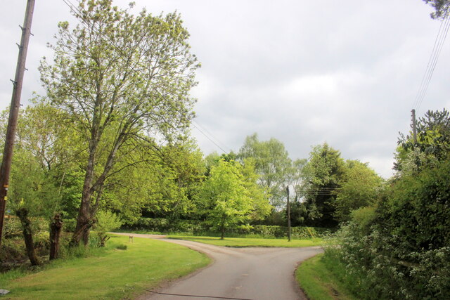
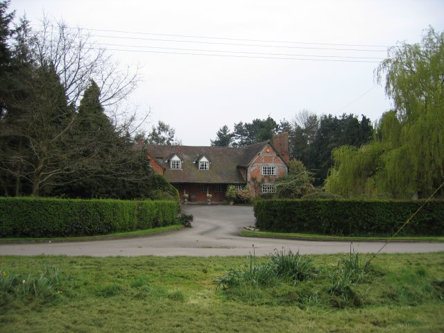
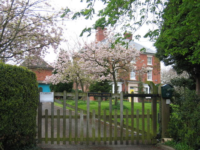
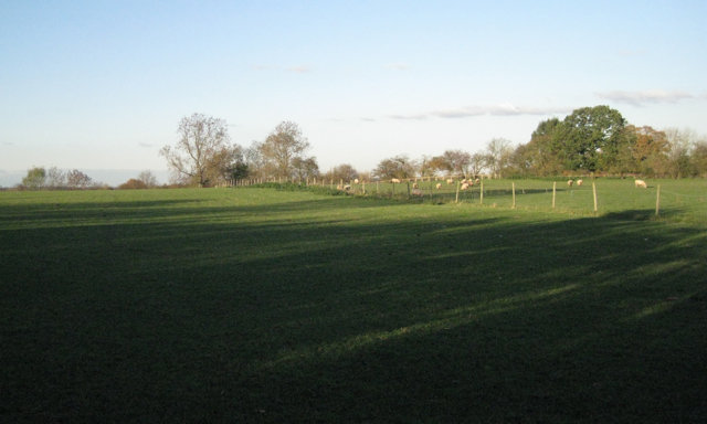
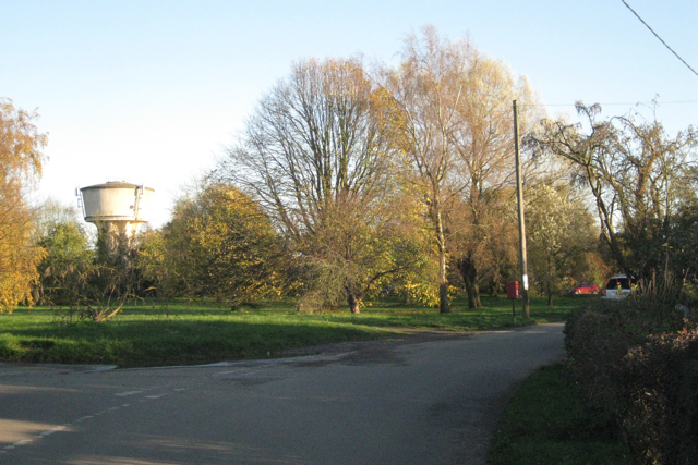
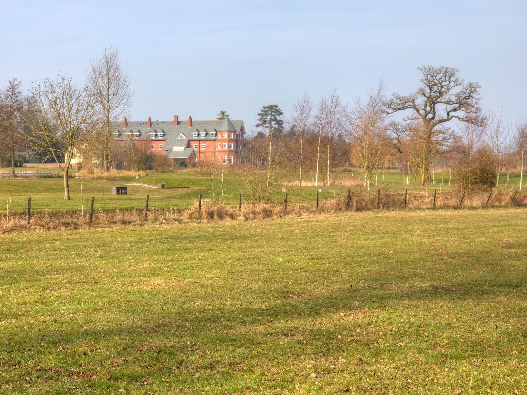
Colley Irons Wood is a picturesque forest located in Warwickshire, England. Spread across an area of approximately 100 acres, it is known for its dense foliage and diverse range of flora and fauna. The wood is situated in close proximity to the town of Wood, making it easily accessible to both locals and tourists.
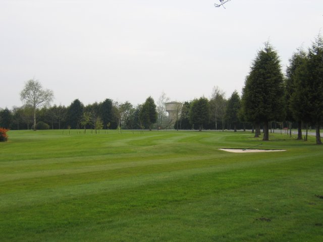
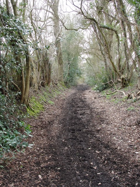
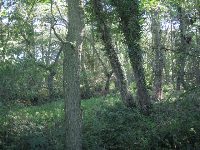
The forest is primarily composed of deciduous trees, including oak, beech, and ash, which create a stunning canopy overhead. This rich variety of trees provides a habitat for numerous species of birds, mammals, and insects, making it a popular spot for wildlife enthusiasts and birdwatchers.
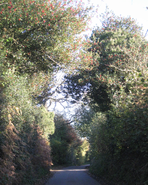
Visitors to Colley Irons Wood can enjoy a network of well-maintained walking trails that meander through the forest, offering a tranquil escape from the hustle and bustle of everyday life. These trails provide opportunities for leisurely strolls, jogging, or even cycling, allowing visitors to immerse themselves in the natural beauty of the surroundings.
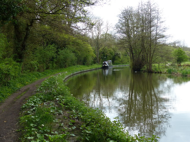
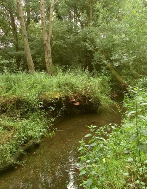
The wood also features a small pond, which adds to its charm and attracts various amphibians and waterfowl. This serene spot provides an ideal setting for relaxation and contemplation.
Colley Irons Wood is managed by the local authorities, who ensure its preservation and maintenance. They also organize educational programs and guided tours for school groups and nature enthusiasts, promoting an understanding and appreciation of the forest's ecological importance.
Overall, Colley Irons Wood offers a delightful blend of scenic beauty, tranquility, and biodiversity, making it a cherished natural gem in the heart of Warwickshire.
If you have any feedback on the listing, please let us know in the comments section below.
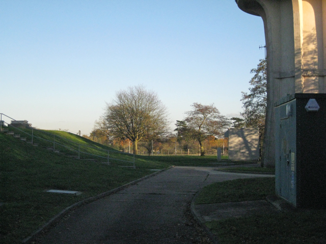
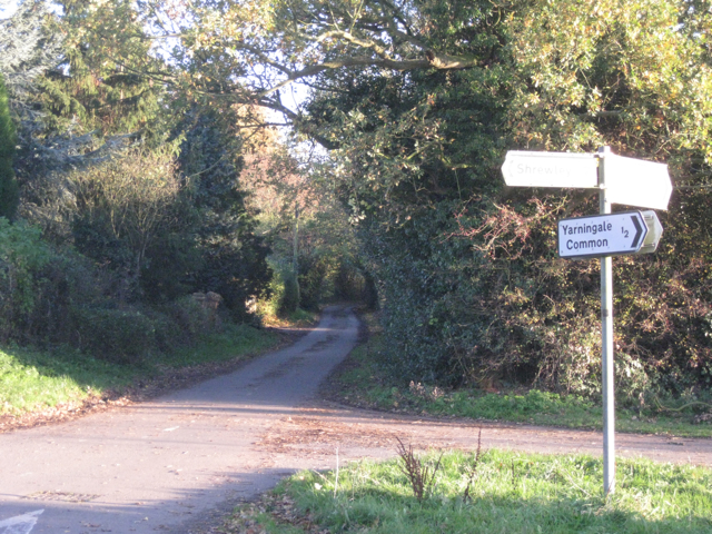
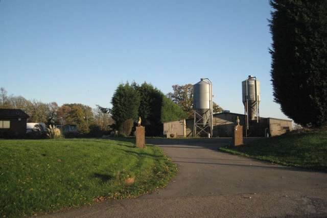
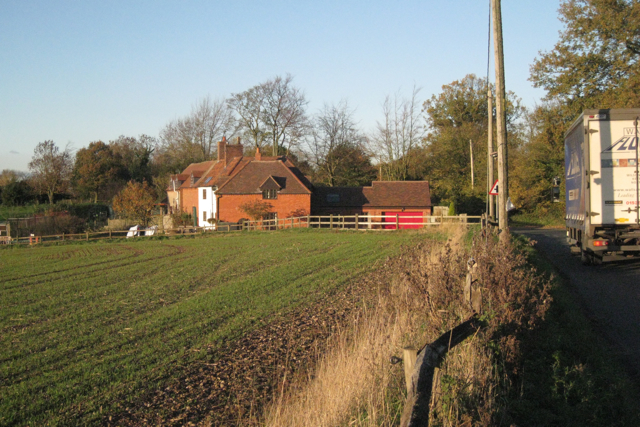
Colley Irons Wood Images
Images are sourced within 2km of 52.299107/-1.6935207 or Grid Reference SP2066. Thanks to Geograph Open Source API. All images are credited.
Colley Irons Wood is located at Grid Ref: SP2066 (Lat: 52.299107, Lng: -1.6935207)
Administrative County: Warwickshire
District: Warwick
Police Authority: Warwickshire
What 3 Words
///valued.soulful.wiring. Near Hatton, Warwickshire
Nearby Locations
Related Wikis
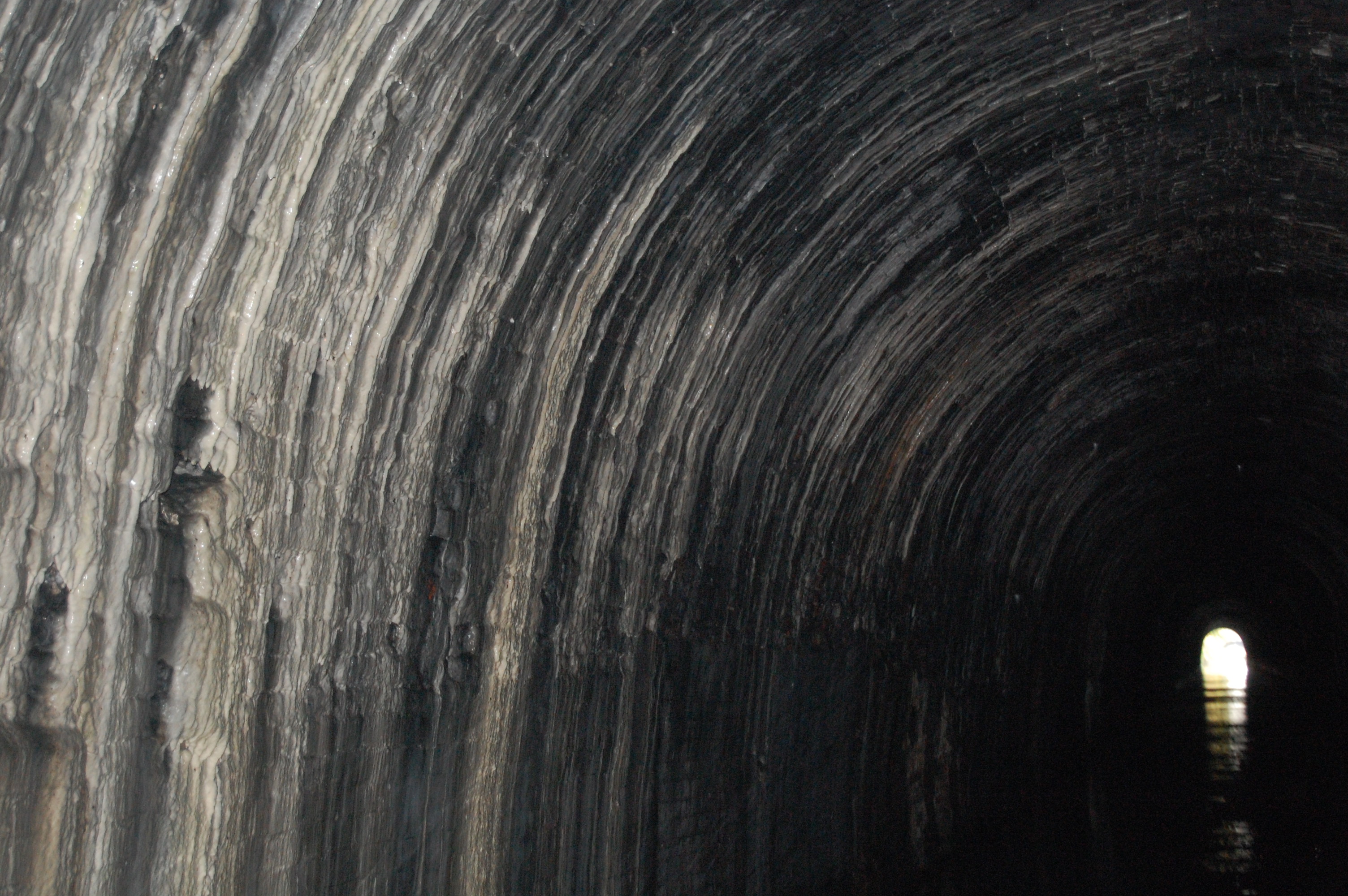
Shrewley Tunnel
Shrewley Tunnel is a canal tunnel near Shrewley, Warwickshire, England, which opened in 1799. It became part of the Grand Union Canal in 1929. == History... ==

Mercia Mudstone Group
The Mercia Mudstone Group is an early Triassic lithostratigraphic group (a sequence of rock strata) which is widespread in Britain, especially in the English...

Shrewley
Shrewley is a village and civil parish in Warwickshire, England, about 5 miles north-west of Warwick. It consists of Little Shrewley, and Shrewley Common...

Pinley Priory
Pinley Priory, also called Pinley Abbey, was a Cistercian nunnery in the parish of Rowington in Warwickshire, England. It was founded in the early 12th...
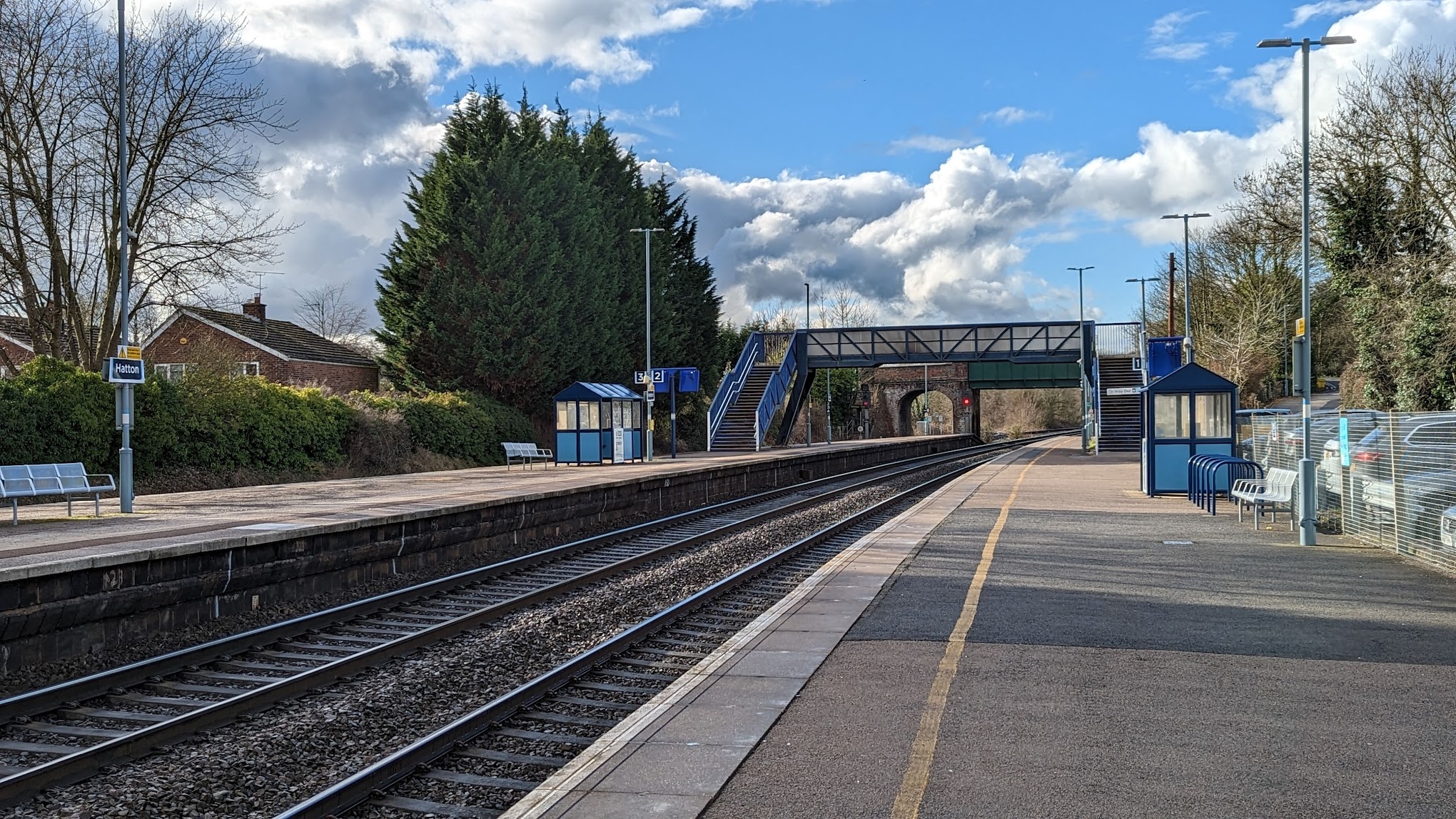
Hatton railway station (England)
Hatton railway station takes the name of the village of Hatton in Warwickshire, England, although it is about 1 mile (1.6 km) from the village. It is situated...
Ardencote Manor
Ardencote Manor is a hotel and former manor house located 0.5 miles (0.8 km) north of the village of Claverdon, Warwickshire, England. The manor was originally...

Rowington
Rowington is a village and civil parish in the English county of Warwickshire. It is five miles north-west of the town of Warwick and five miles south...

Haseley
Haseley is a small village and former civil parish in Warwickshire, England. It is four miles north-west of the county town of Warwick and nine miles...
Nearby Amenities
Located within 500m of 52.299107,-1.6935207Have you been to Colley Irons Wood?
Leave your review of Colley Irons Wood below (or comments, questions and feedback).