Birkby

Settlement in Cumberland Allerdale

England

Birkby

A596 at Netherhall
A596 at Netherhall Credit: Colin Pyle

Birkby is a small village located in the county of Cumberland, in the northwest region of England. Situated within the picturesque Lake District National Park, Birkby is surrounded by rolling hills, lush greenery, and stunning landscapes. The village is part of the larger civil parish of Blindcrake, and it falls within the Allerdale district.

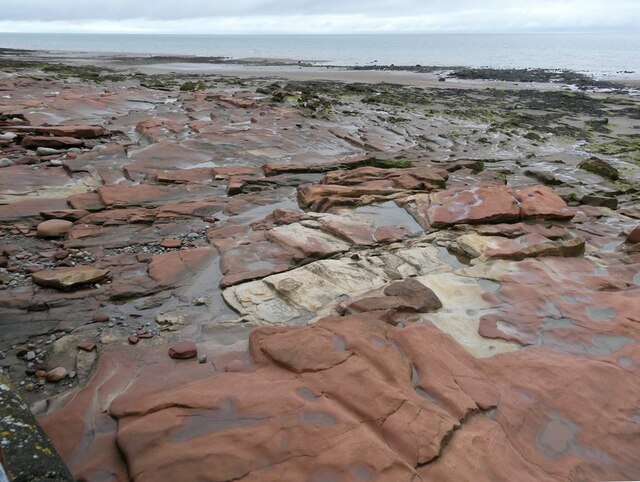
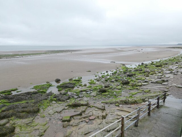
Historically, Birkby has been an agricultural community, with farming playing a significant role in the local economy. The village boasts a charming, rural atmosphere, characterized by its traditional stone cottages and quaint village green. The nearby rivers and streams provide ample opportunities for fishing and other recreational activities.

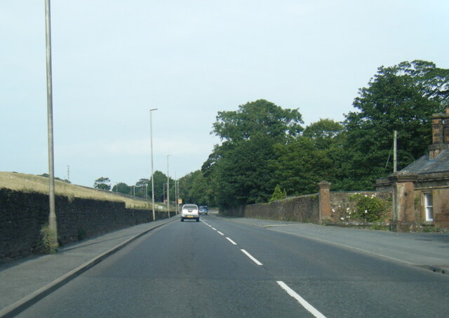
Despite its small size, Birkby is well-connected to other towns and villages in the region. The A595 road passes close by, offering convenient access to nearby towns such as Cockermouth and Keswick. The bustling city of Carlisle is also within a reasonable distance.

The village is home to a close-knit community, with a number of social and recreational amenities available. These include a local pub, a village hall, and a community center. Birkby also has a primary school, ensuring that the educational needs of the village's children are well-catered for.

For those seeking a peaceful and idyllic setting, Birkby provides the perfect escape. Its tranquil surroundings, combined with its scenic beauty and strong sense of community, make it an attractive place to live or visit for nature lovers and those seeking a slower pace of life.

If you have any feedback on the listing, please let us know in the comments section below.
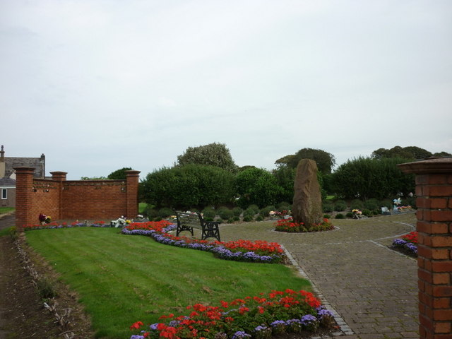
Birkby Images

Images are sourced within 2km of 54.723695/-3.461019 or Grid Reference NY0637. Thanks to Geograph Open Source API. All images are credited.

A596 at Netherhall
A596 at Netherhall
B5300 at Maryport Cemetery
B5300 at Mile Fortlet 21 sign
Maryport Golf Course A two-day heatwave brought out masses of golfers on this seaside course.
Maryport Golf Course
A two-day heatwave brought out masses of golfers on this seaside course.
Ramp down to the beach A substantial exposure of New Red Sandstone. The headland on the horizon is Swarthy Hill <a href="https://www.geograph.org.uk/gridref/NY0539">NY0539</a>.
Ramp down to the beach
A substantial exposure of New Red Sandstone. The headland on the horizon is Swarthy Hill NY0539.
Coastal rocks below the lower Promenade A substantial exposure of New Red Sandstone.
Coastal rocks below the lower Promenade
A substantial exposure of New Red Sandstone.
Beach below the lower Promenade The headland on the horizon is Swarthy Hill <a href="https://www.geograph.org.uk/gridref/NY0539">NY0539</a>.
Beach below the lower Promenade
The headland on the horizon is Swarthy Hill NY0539.
Small stream over the beach at Bank End
Mast at Bank End Farm Two small turbines rotating in the breeze at the foot of the mast. Not sure what it is all about.
Mast at Bank End Farm
Two small turbines rotating in the breeze at the foot of the mast. Not sure what it is all about.
Agricultural graveyard at Bank End Farm
End of the lower Promenade at Bank End
Road to Crosscanonby
Old Milestone by the A596, north east of Maryport Stone post by the A596 (Metal plate missing), in parish of MARYPORT (ALLERDALE District), Netherhall, South of B5300 junction, in wall and tarmac; opposite LPE289, on West side of road. Wigton curved red stone, erected by the Cockermouth & Maryport turnpike trust in the 19th century. 

Inscription once read:-
(WORKINGTON)
(7)
(WIGTON)
(16)
Carved benchmark on top.

Milestone Society National ID: CU_WGWO16
Old Milestone by the A596, north east of Maryport
Stone post by the A596 (Metal plate missing), in parish of MARYPORT (ALLERDALE District), Netherhall, South of B5300 junction, in wall and tarmac; opposite LPE289, on West side of road. Wigton curved red stone, erected by the Cockermouth & Maryport turnpike trust in the 19th century. Inscription once read:- (WORKINGTON) (7) (WIGTON) (16) Carved benchmark on top. Milestone Society National ID: CU_WGWO16
Benchmark on wall of Pigeonwell Lonning Ordnance Survey cut mark benchmark described on the Bench Mark Database at <span class="nowrap"><a title="http://www.bench-marks.org.uk/bm43777" rel="nofollow ugc noopener" href="http://www.bench-marks.org.uk/bm43777">Link</a><img style="margin-left:2px;" alt="External link" title="External link - shift click to open in new window" src="https://s1.geograph.org.uk/img/external.png" width="10" height="10"/></span>
Benchmark on wall of Pigeonwell Lonning
Ordnance Survey cut mark benchmark described on the Bench Mark Database at LinkExternal link
Pigeonwell Lonning There is an OS benchmark <a href="https://www.geograph.org.uk/photo/3028096">NY0437 : Benchmark on wall of Pigeonwell Lonning</a> on the wall near the right hand side of the image
Pigeonwell Lonning
There is an OS benchmark NY0437 : Benchmark on wall of Pigeonwell Lonning on the wall near the right hand side of the image
Maryport Cemetery
Maryport Cemetery
The Allerdale Memorial Garden Maryport Cemetery
The Allerdale Memorial Garden
Maryport Cemetery
The B5300 joins the A596 towards Maryport
Show me another place!

Birkby is located at Grid Ref: NY0637 (Lat: 54.723695, Lng: -3.461019)

Administrative County: Cumbria

District: Allerdale

Police Authority: Cumbria

What 3 Words

///sorry.instance.leaky. Near Dearham, Cumbria

Nearby Locations

Birkby

Related Wikis

Dearham Bridge railway station

Dearham Bridge was a railway station on the Maryport and Carlisle Railway (M&CR) serving the village and rural district of Dearham in Cumberland (now in...

Milefortlet 22

Milefortlet 22 (Brownrigg) was a Milefortlet of the Roman Cumbrian Coast defences. These milefortlets and intervening stone watchtowers extended from the...

Milefortlet 23

Milefortlet 23 (Sea Brows) was a Milefortlet of the Roman Cumbrian Coast defences. These milefortlets and intervening stone watchtowers extended from the...

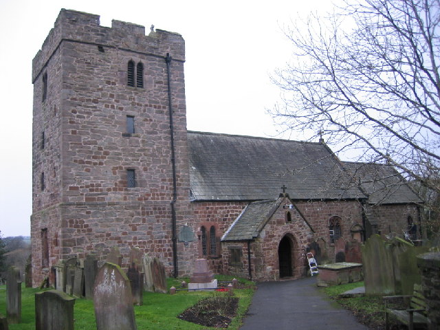
St Mungo's Church, Dearham

St Mungo's Church is in the village of Dearham, Cumbria, England. The church is dedicated to St Mungo, also known as Kentigern, the apostle of Strathclyde...

Nearby Amenities

Located within 500m of 54.723695,-3.461019
Birkby
Place: village
Source: npe
Wikidata: Q3242956
Wikipedia: en:Crosscanonby
Lat/Long: 54.7228984/-3.4619048
Bus Stop
Village Green (E bound)
Local Ref: AT
Naptan AtcoCode: 090002231629
Naptan Bearing: E
Naptan CommonName: Village Green (E bound)
Naptan Indicator: at
Naptan Landmark: village centre on main road
Naptan NaptanCode: cumadpgm
Naptan Street: A596(T)
Naptan Verified: no
Source: naptan_import
Lat/Long: 54.7247185/-3.4611983
Bus Stop
Village Green (W bound)
Local Ref: IN
Naptan AtcoCode: 090002232989
Naptan Bearing: W
Naptan CommonName: Village Green (W bound)
Naptan Indicator: in
Naptan Landmark: Village centre
Naptan NaptanCode: cumadpjp
Naptan Street: A596(T)
Naptan Verified: no
Source: naptan_import
Lat/Long: 54.7243231/-3.4621191
Parking
Lat/Long: 54.725289/-3.4595239
Post Box
Ref: CA15 55
Lat/Long: 54.7239439/-3.4619251
Abandoned: yes
Historic: mine
Man Made: mine
Lat/Long: 54.7243418/-3.4582132
Power: pole
Lat/Long: 54.7202175/-3.465679
Power: pole
Lat/Long: 54.7206305/-3.4646559
Power: pole
Lat/Long: 54.7209469/-3.463794
Power: pole
Lat/Long: 54.7214148/-3.4625621
Power: pole
Lat/Long: 54.7219568/-3.4611504
Power: pole
Lat/Long: 54.7223853/-3.4599806
Power: pole
Lat/Long: 54.722975/-3.4584738
Power: pole
Lat/Long: 54.7234226/-3.457306
Power: pole
Lat/Long: 54.7238703/-3.4561568
Power: pole
Lat/Long: 54.7243227/-3.4549022
The data included in this document is from www.openstreetmap.org. The data is made available under ODbL.

Have you been to Birkby?

Leave your review of Birkby below (or comments, questions and feedback).