Perry Crofts

Settlement in Warwickshire Tamworth

England

Perry Crofts

St Leonard's Church  (1) The above photograph shows the Lychgate, which is the main entrance to the Graveyard and Church.
St Leonard's Church (1) Credit: Chris' Buet

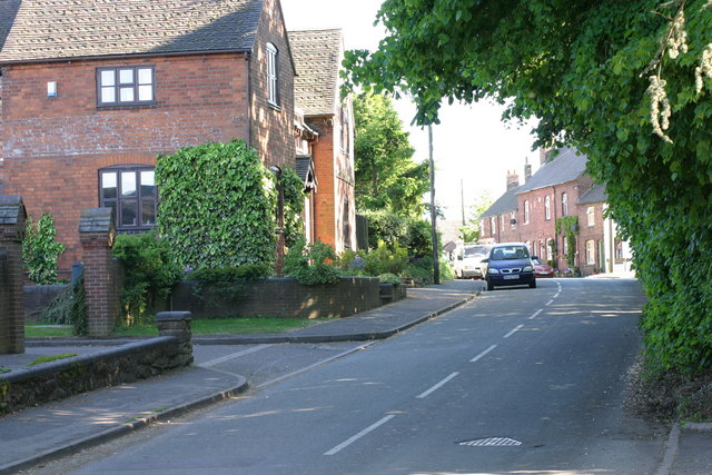
Perry Crofts is a small village located in the county of Warwickshire, England. Situated approximately 2 miles northwest of the town of Tamworth, Perry Crofts is part of the Tamworth local government district and falls within the West Midlands region. The village is nestled amidst picturesque countryside, offering residents and visitors a peaceful and scenic environment.

With a population of around 2,500 people, Perry Crofts is a close-knit community that prides itself on its friendly atmosphere and strong community spirit. The village is primarily residential, with a mix of housing styles ranging from traditional cottages to modern family homes. Amenities in the village include a local convenience store, a primary school, and a village hall that serves as a hub for various community activities and events.

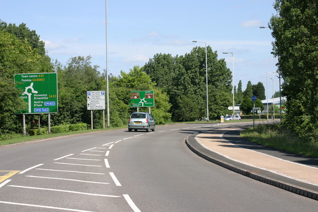
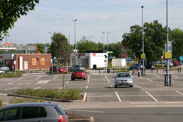
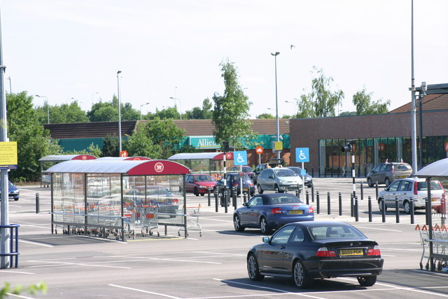
Perry Crofts benefits from its proximity to Tamworth, which provides residents with a wider range of services and facilities, including supermarkets, shops, restaurants, and healthcare centers. The village also enjoys excellent transport links, with easy access to major road networks such as the A5 and the M42 motorway, allowing for convenient travel to nearby towns and cities.

Surrounded by beautiful countryside, Perry Crofts offers numerous opportunities for outdoor activities and leisure pursuits. The nearby countryside trails and parks provide pleasant walking routes, while the River Tame offers opportunities for fishing and boating enthusiasts. Additionally, the village is within a short distance of the popular Drayton Manor Theme Park, a major attraction in the region.

Overall, Perry Crofts is a charming village that combines the tranquility of rural living with the convenience of nearby urban amenities, making it an attractive place to reside or visit in Warwickshire.

If you have any feedback on the listing, please let us know in the comments section below.
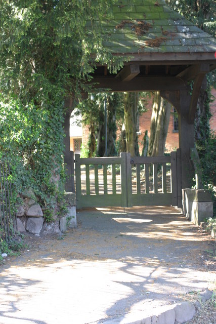
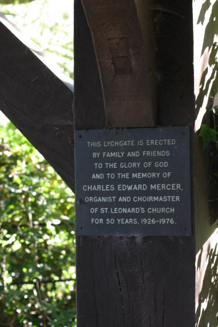
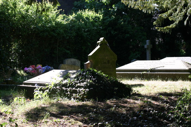
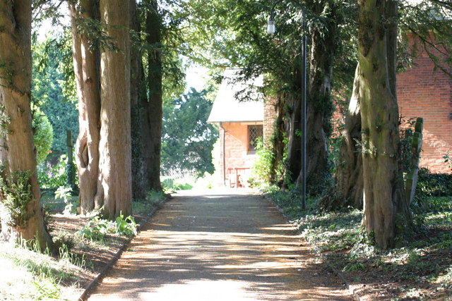
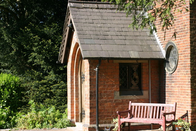
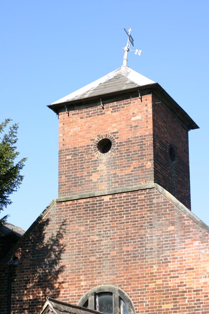
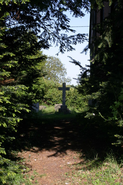
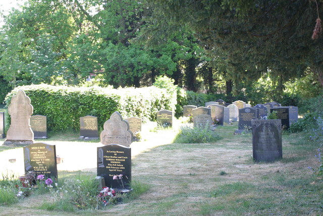
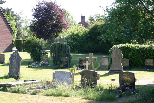
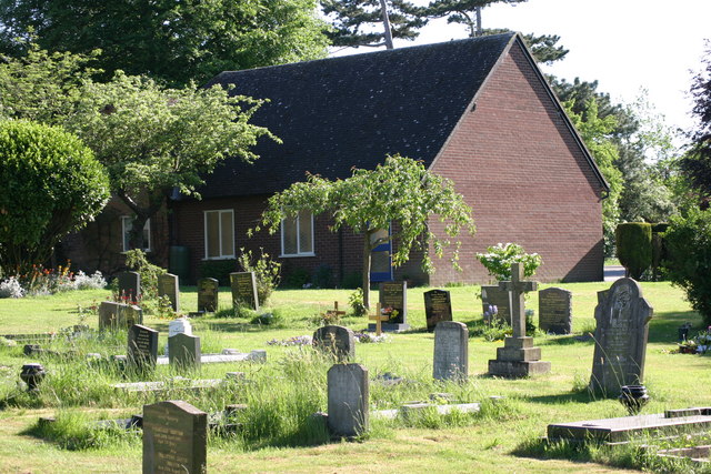
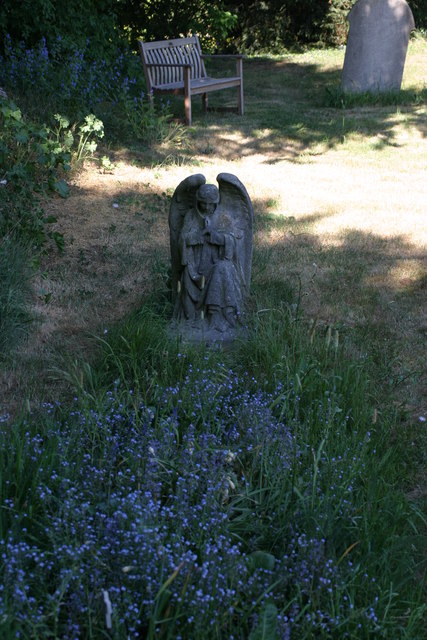
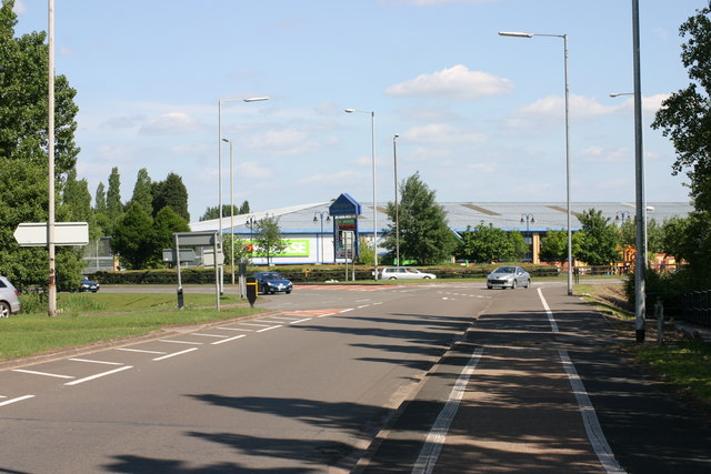
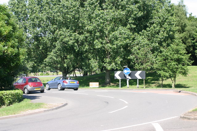
Perry Crofts Images

Images are sourced within 2km of 52.643056/-1.700543 or Grid Reference SK2005. Thanks to Geograph Open Source API. All images are credited.

St Leonard's Church  (1) The above photograph shows the Lychgate, which is the main entrance to the Graveyard and Church.
St Leonard's Church (1)
The above photograph shows the Lychgate, which is the main entrance to the Graveyard and Church.
St Leonard's Church  (2) The plaque in the above photograph is attached to the Lychgate in this photograph <a href="https://www.geograph.org.uk/photo/2393376">SK2006 : St Leonard's Church  (1)</a>
St Leonard's Church (2)
The plaque in the above photograph is attached to the Lychgate in this photograph SK2006 : St Leonard's Church (1)
St Leonard's  Church  (3) This photograph <a href="https://www.geograph.org.uk/photo/2393376">SK2006 : St Leonard's Church  (1)</a> shows the Lychgate, which is the main entrance to the Graveyard shown in the above photograph.
St Leonard's Church (3)
This photograph SK2006 : St Leonard's Church (1) shows the Lychgate, which is the main entrance to the Graveyard shown in the above photograph.
St Leonards  Church  (4) The path in the above photograph leads from the Lychgated entrance up to the Church. This photograph shows <a href="https://www.geograph.org.uk/photo/2393376">SK2006 : St Leonard's Church  (1)</a> a view of that Lychgate.
St Leonards Church (4)
The path in the above photograph leads from the Lychgated entrance up to the Church. This photograph shows SK2006 : St Leonard's Church (1) a view of that Lychgate.
St Leonard's Church  (5) The above photograph shows the church's main entrance. This photograph <a href="https://www.geograph.org.uk/photo/2393417">SK2006 : St Leonard's  Church  (3)</a> shows a view of this church's graveyard.
St Leonard's Church (5)
The above photograph shows the church's main entrance. This photograph SK2006 : St Leonard's Church (3) shows a view of this church's graveyard.
St Leonard's  Church  (6) The above photograph shows a memorial bench located outside the Church entrance, which can be seen in this photograph <a href="https://www.geograph.org.uk/photo/2393473">SK2006 : St Leonard's Church  (5)</a>.
St Leonard's Church (6)
The above photograph shows a memorial bench located outside the Church entrance, which can be seen in this photograph SK2006 : St Leonard's Church (5).
St Leonards Church  (7) The above photograph shows the Church Tower. This photograph <a href="https://www.geograph.org.uk/photo/2393376">SK2006 : St Leonard's Church  (1)</a> shows a view of this Churches Lychgate.
St Leonards Church (7)
The above photograph shows the Church Tower. This photograph SK2006 : St Leonard's Church (1) shows a view of this Churches Lychgate.
St Leonards Church  (8) The above photograph shows a view of this Churches Graveyard. This photograph <a href="https://www.geograph.org.uk/photo/2393473">SK2006 : St Leonard's Church  (5)</a> shows a view of this Church.
St Leonards Church (8)
The above photograph shows a view of this Churches Graveyard. This photograph SK2006 : St Leonard's Church (5) shows a view of this Church.
St Leonards Church  (9) This photograph <a href="https://www.geograph.org.uk/photo/2393417">SK2006 : St Leonard's  Church  (3)</a> shows another view of this Graveyard.
St Leonards Church (9)
This photograph SK2006 : St Leonard's Church (3) shows another view of this Graveyard.
St Leonards Church  (10) This photograph <a href="https://www.geograph.org.uk/photo/2393441">SK2006 : St Leonards  Church  (4)</a> shows a path located within the Graveyard shown in the photograph above.
St Leonards Church (10)
This photograph SK2006 : St Leonards Church (4) shows a path located within the Graveyard shown in the photograph above.
St Leonards Church  (11) This photograph <a href="https://www.geograph.org.uk/photo/2412066">SK2006 : St Leonards Church  (8)</a> shows another view of this Graveyard.
St Leonards Church (11)
This photograph SK2006 : St Leonards Church (8) shows another view of this Graveyard.
St Leonards Church  (12) The above photograph <a href="https://www.geograph.org.uk/photo/2412090">SK2006 : St Leonards Church  (10)</a> shows a Stone Angel, located at a Grave. This photograph shows another view of this Graveyard.
St Leonards Church (12)
The above photograph SK2006 : St Leonards Church (10) shows a Stone Angel, located at a Grave. This photograph shows another view of this Graveyard.
Main Street The above photograph shows a view of Main Street, which is located next to St Leonard's Church, which is located out of view just to the right hand side of the above photograph. This photograph <a href="https://www.geograph.org.uk/photo/2393376">SK2006 : St Leonard's Church  (1)</a> shows a view of the Lychgate which is located next to the above stretch of road.
Main Street
The above photograph shows a view of Main Street, which is located next to St Leonard's Church, which is located out of view just to the right hand side of the above photograph. This photograph SK2006 : St Leonard's Church (1) shows a view of the Lychgate which is located next to the above stretch of road.
Bonehill Road  (7) This photograph <a href="https://www.geograph.org.uk/photo/2434787">SK1903 : Bonehill Road  (6)</a> shows another view of Bonehill Road.
Bonehill Road (7)
This photograph SK1903 : Bonehill Road (6) shows another view of Bonehill Road.
The Jolly Sailor, Retail park  (4) The above photograph shows a view the car park which part of the Jolly Sailor, retail park. This photograph <a href="https://www.geograph.org.uk/photo/2437906">SK1903 : The Jolly Sailor, Retail Park  (2)</a> shows another view of this retail park.
The Jolly Sailor, Retail park (4)
The above photograph shows a view the car park which part of the Jolly Sailor, retail park. This photograph SK1903 : The Jolly Sailor, Retail Park (2) shows another view of this retail park.
The Jolly Sailor, Retail park  (10) This photograph <a href="https://www.geograph.org.uk/photo/2439862">SK1903 : The Jolly Sailor, Retail park  (3)</a> shows another view of this Retail park.
The Jolly Sailor, Retail park (10)
This photograph SK1903 : The Jolly Sailor, Retail park (3) shows another view of this Retail park.
Bonehill Road  (10) The above photograph shows a view of Bonehill Road, exiting a traffic island. The traffic island which is just about visible, located to the left of this photograph, joins on to this stretch of Bonehill Road. This photograph <a href="https://www.geograph.org.uk/photo/2437749">SK2003 : Bonehill Road  (7)</a> shows a view of Bonehill Road approaching the traffic Island mentioned above. Ventura retail park can be seen in the background.
Bonehill Road (10)
The above photograph shows a view of Bonehill Road, exiting a traffic island. The traffic island which is just about visible, located to the left of this photograph, joins on to this stretch of Bonehill Road. This photograph SK2003 : Bonehill Road (7) shows a view of Bonehill Road approaching the traffic Island mentioned above. Ventura retail park can be seen in the background.
Bonehill Road  (11) The above photograph shows a section of Bonehill Road, joining a traffic island along the (A453) This photograph <a href="https://www.geograph.org.uk/photo/2443771">SK1903 : Bonehill Road  (9)</a> shows another view Bonehill Road.
Bonehill Road (11)
The above photograph shows a section of Bonehill Road, joining a traffic island along the (A453) This photograph SK1903 : Bonehill Road (9) shows another view Bonehill Road.
Show me another place!

Perry Crofts is located at Grid Ref: SK2005 (Lat: 52.643056, Lng: -1.700543)

Administrative County: Staffordshire

District: Tamworth

Police Authority: Staffordshire

What 3 Words

///split.rear.trails. Near Tamworth, Staffordshire

Nearby Locations

Perry Crofts Gillway

Related Wikis

Leyfields

Leyfields is a housing estate in Tamworth, Staffordshire, consisting of 3-storey flats, maisonettes, bungalows and houses. It was built in the 1960s as...

Gillway

Gillway is a council estate in Tamworth, United Kingdom built in the 1950s. It is a small suburb consisting of brick and concrete houses and two storey...

Landau Forte Academy QEMS

Landau Forte Academy QEMS (Formerly "Queen Elizabeth's Mercian School", until 1 September 2011) is an 11-16 secondary school with academy status located...

Landau Forte Academy Tamworth Sixth Form

Landau Forte Academy Tamworth Sixth Form is a Sixth form centre and academy situated in Tamworth, Staffordshire, England. == History == The Sixth form...

Perry Crofts

Perry Crofts is a housing estate in Tamworth, Staffordshire, England, built in the 1970s. It is a small suburb consisting of brick and wood houses. The...

Borough Park, Tamworth

Borough Park is a small residential area of Tamworth, Staffordshire, 1 mile north of the town centre, and close to the River Anker. The area is served...

The Rawlett School

The Rawlett School is a secondary school with academy status located on the outskirts of Tamworth, a market town in Staffordshire, England. It was previously...

Moat House, Tamworth

The Moat House is a Grade II* building in Tamworth, Staffordshire, England, in what were once the grounds of Tamworth Castle. The summer house, in the...

Nearby Amenities

Located within 500m of 52.643056,-1.700543
Bus Stop
Wordsworth Avenue
Bus: yes
Naptan AtcoCode: 3800C902900
Naptan Bearing: NW
Naptan CommonName: Wordsworth Avenue
Naptan Indicator: Adj
Naptan Landmark: Wordsworth Avenue
Naptan PlusbusZoneRef: TAMWORTH
Naptan Street: Masefield Dr
Naptan Verified: no
Public Transport: platform
Source: naptan_import
Lat/Long: 52.6399341/-1.7010375
Bus Stop
Wordsworth Avenue
Bus: yes
Naptan AtcoCode: 3800C902901
Naptan Bearing: SE
Naptan CommonName: Wordsworth Avenue
Naptan Indicator: Opp
Naptan Landmark: Wordsworth Avenue
Naptan PlusbusZoneRef: TAMWORTH
Naptan Street: Masefield Dr
Naptan Verified: no
Public Transport: platform
Source: naptan_import
Lat/Long: 52.6399423/-1.7007419
Bus Stop
Byron Road
Bus: yes
Naptan AtcoCode: 3800C905901
Naptan Bearing: N
Naptan CommonName: Byron Road
Naptan Indicator: Adj
Naptan Landmark: Byron Road
Naptan PlusbusZoneRef: TAMWORTH
Naptan Street: Masefield Drive
Naptan Verified: no
Public Transport: platform
Source: naptan_import
Lat/Long: 52.6462052/-1.7031529
Bus Stop
Byron Road
Bus: yes
Naptan AtcoCode: 3800C905902
Naptan Bearing: S
Naptan CommonName: Byron Road
Naptan Indicator: Opp
Naptan Landmark: Byron Road
Naptan PlusbusZoneRef: TAMWORTH
Naptan Street: Masefield Drive
Naptan Verified: no
Public Transport: platform
Source: naptan_import
Lat/Long: 52.646304/-1.7030042
Bus Stop
Thackeray Drive
Bus: yes
Naptan AtcoCode: 3800C906301
Naptan Bearing: N
Naptan CommonName: Thackerey Drive
Naptan Indicator: Opp
Naptan Landmark: Thackerey Drive
Naptan PlusbusZoneRef: TAMWORTH
Naptan Street: Masefield Drive
Naptan Verified: no
Public Transport: platform
Source: naptan_import
Lat/Long: 52.6444861/-1.7022479
Bus Stop
Thackeray Drive
Bus: yes
Naptan AtcoCode: 3800C906302
Naptan Bearing: S
Naptan CommonName: Thackerey Drive
Naptan Indicator: Adj
Naptan Landmark: Thackerey Drive
Naptan PlusbusZoneRef: TAMWORTH
Naptan Street: Masefield Drive
Naptan Verified: no
Public Transport: platform
Source: naptan_import
Lat/Long: 52.6444137/-1.7020859
Bus Stop
Burns Road
Bus: yes
Naptan AtcoCode: 3800C906401
Naptan Bearing: S
Naptan CommonName: Burns Road
Naptan Indicator: Opp
Naptan Landmark: Burns Road
Naptan PlusbusZoneRef: TAMWORTH
Naptan Street: Chesterton Way
Naptan Verified: no
Public Transport: platform
Source: naptan_import
Lat/Long: 52.6424666/-1.6999857
Bus Stop
Burns Road
Bus: yes
Naptan AtcoCode: 3800C906402
Naptan Bearing: N
Naptan CommonName: Burns Road
Naptan Indicator: Adj
Naptan Landmark: Burns Road
Naptan PlusbusZoneRef: TAMWORTH
Naptan Street: Chesterton Way
Naptan Verified: no
Public Transport: platform
Source: naptan_import
Lat/Long: 52.6423861/-1.7001488
Bus Stop
Old School Walk
Bus: yes
Naptan AtcoCode: 3800C917001
Naptan Bearing: E
Naptan CommonName: Old School Walk
Naptan Indicator: Adj
Naptan Landmark: Old School Walk
Naptan PlusbusZoneRef: TAMWORTH
Naptan Street: Salters Lane
Naptan Verified: no
Public Transport: platform
Source: naptan_import
Lat/Long: 52.6399943/-1.6964263
Bus Stop
Old School Walk
Bus: yes
Naptan AtcoCode: 3800C917002
Naptan Bearing: W
Naptan CommonName: Old School Walk
Naptan Indicator: Opp
Naptan Landmark: Old School Walk
Naptan PlusbusZoneRef: TAMWORTH
Naptan Street: Salters Lane
Naptan Verified: no
Public Transport: platform
Source: naptan_import
Lat/Long: 52.6399059/-1.6970032
Bus Stop
Woodcroft Avenue
Bus: yes
Naptan AtcoCode: 3800C917101
Naptan Bearing: SW
Naptan CommonName: Woodcroft Avenue
Naptan Indicator: Adj
Naptan Landmark: Woodcroft Ave
Naptan PlusbusZoneRef: TAMWORTH
Naptan Street: Salters Ln
Naptan Verified: no
Public Transport: platform
Source: naptan_import
Lat/Long: 52.639632/-1.6988967
Bus Stop
Tennyson Avenue
Bus: yes
Naptan AtcoCode: 3800C917102
Naptan Bearing: NE
Naptan CommonName: Tennyson Avenue
Naptan Indicator: Opp
Naptan Landmark: Tennyson Ave
Naptan PlusbusZoneRef: TAMWORTH
Naptan Street: Masefield Dr
Naptan Verified: no
Public Transport: platform
Source: naptan_import
Lat/Long: 52.639865/-1.6986143
Bus Stop
Shakespeare Close
Bus: yes
Naptan AtcoCode: 3800C917301
Naptan Bearing: NE
Naptan CommonName: Shakespeare Close
Naptan Indicator: Adj
Naptan Landmark: Shakespeare Close
Naptan PlusbusZoneRef: TAMWORTH
Naptan Street: Chesteron Way
Naptan Verified: no
Public Transport: platform
Source: naptan_import
Lat/Long: 52.641058/-1.7010889
Bus Stop
Shakespeare Close
Bus: yes
Naptan AtcoCode: 3800C917302
Naptan Bearing: SW
Naptan CommonName: Shakespeare Close
Naptan Indicator: Adj
Naptan Landmark: Shakespeare Close
Naptan PlusbusZoneRef: TAMWORTH
Naptan Street: Chesterton Way
Naptan Verified: no
Public Transport: platform
Source: naptan_import
Lat/Long: 52.6411195/-1.7005269
Bus Stop
Eliot Close
Bus: yes
Naptan AtcoCode: 3800C917401
Naptan Bearing: S
Naptan CommonName: Eliot Close
Naptan Indicator: Adj
Naptan Landmark: Eliot Close
Naptan PlusbusZoneRef: TAMWORTH
Naptan Street: Chesterton Way
Naptan Verified: no
Public Transport: platform
Source: naptan_import
Lat/Long: 52.6434083/-1.6991073
Bus Stop
Eliot Close
Bus: yes
Naptan AtcoCode: 3800C917402
Naptan Bearing: N
Naptan CommonName: Eliot Close
Naptan Indicator: Opp
Naptan Landmark: Eliot Close
Naptan PlusbusZoneRef: TAMWORTH
Naptan Street: Chesterton Way
Naptan Verified: no
Public Transport: platform
Source: naptan_import
Lat/Long: 52.6437232/-1.6992085
Bus Stop
St Andrews Church
Bus: yes
Naptan AtcoCode: 3800C917601
Naptan Bearing: SW
Naptan CommonName: St Andrews Church
Naptan Indicator: Adj
Naptan Landmark: St Andrews Church
Naptan PlusbusZoneRef: TAMWORTH
Naptan Street: Thakeray Dr
Naptan Verified: no
Public Transport: platform
Source: naptan_import
Lat/Long: 52.6446013/-1.6980497
Bus Stop
Masefield Drive
Bus: yes
Naptan AtcoCode: 3800C917701
Naptan Bearing: E
Naptan CommonName: Masefield Drive
Naptan Indicator: Adj
Naptan Landmark: Masefield Drive
Naptan PlusbusZoneRef: TAMWORTH
Naptan Street: Thakery Dr (N)
Naptan Verified: no
Public Transport: platform
Source: naptan_import
Lat/Long: 52.6440693/-1.7011276
Bus Stop
Masefield Drive
Bus: yes
Naptan AtcoCode: 3800C917702
Naptan Bearing: W
Naptan CommonName: Masefield Drive
Naptan Indicator: Adj
Naptan Landmark: Masefield Dr
Naptan PlusbusZoneRef: TAMWORTH
Naptan Street: Thackeray Dr (S)
Naptan Verified: no
Public Transport: platform
Source: naptan_import
Lat/Long: 52.6439624/-1.7013352
Bus Stop
Shelley Road
Bus: yes
Naptan AtcoCode: 3800C917901
Naptan Bearing: N
Naptan CommonName: Shelley Road
Naptan Indicator: Adj
Naptan Landmark: Shelley Rd
Naptan PlusbusZoneRef: TAMWORTH
Naptan Street: Masefield Dr
Naptan Verified: no
Public Transport: platform
Source: naptan_import
Lat/Long: 52.6453869/-1.7029808
Bus Stop
Shelley Road
Bus: yes
Naptan AtcoCode: 3800C917902
Naptan Bearing: SE
Naptan CommonName: Shelley Road
Naptan Indicator: Opp
Naptan Landmark: Shelley Road
Naptan PlusbusZoneRef: TAMWORTH
Naptan Street: Masefield Dr
Naptan Verified: no
Public Transport: platform
Source: naptan_import
Lat/Long: 52.6451521/-1.7025538
Bus Stop
Hillcroft Close
Bus: yes
Naptan AtcoCode: 3800C922901
Naptan Bearing: N
Naptan CommonName: Hillcroft Close
Naptan Indicator: Adj
Naptan Landmark: Hillcroft Cl
Naptan PlusbusZoneRef: TAMWORTH
Naptan Street: Comberford Rd
Naptan Verified: no
Public Transport: platform
Source: naptan_import
Lat/Long: 52.6423822/-1.6950796
Bus Stop
The Riftswood Inn
Bus: yes
Naptan AtcoCode: 3800C923001
Naptan Bearing: S
Naptan CommonName: The Riftswood Inn
Naptan Indicator: Opp
Naptan Landmark: The Riftswood Inn
Naptan PlusbusZoneRef: TAMWORTH
Naptan Street: Comberford Rd
Naptan Verified: no
Public Transport: platform
Source: naptan_import
Lat/Long: 52.6440485/-1.6963243
Bus Stop
The Riftswood Inn
Bus: yes
Naptan AtcoCode: 3800C923002
Naptan Bearing: NW
Naptan CommonName: The Riftswood Inn
Naptan Indicator: Adj
Naptan Landmark: The Riftswood
Naptan PlusbusZoneRef: TAMWORTH
Naptan Street: Comberford Road
Naptan Verified: no
Public Transport: platform
Source: naptan_import
Lat/Long: 52.6439498/-1.6963989
Bus Stop
Clifton Avenue
Bus: yes
Naptan AtcoCode: 3800C923101
Naptan Bearing: SE
Naptan CommonName: Clifton Avenue
Naptan Indicator: Opp
Naptan Landmark: Clifton Ave
Naptan PlusbusZoneRef: TAMWORTH
Naptan Street: Comberford Rd
Naptan Verified: no
Public Transport: platform
Source: naptan_import
Lat/Long: 52.6469195/-1.7011081
Bus Stop
Chestnut Avenue
Bus: yes
Naptan AtcoCode: 3800C923201
Naptan Bearing: NW
Naptan CommonName: Chestnut Avenue
Naptan Indicator: Opp
Naptan Landmark: Chestnut Ave
Naptan PlusbusZoneRef: TAMWORTH
Naptan Street: Comberford Rd
Naptan Verified: no
Public Transport: platform
Source: naptan_import
Lat/Long: 52.6456284/-1.6989442
Bus Stop
Chestnut Avenue
Bus: yes
Naptan AtcoCode: 3800C924101
Naptan Bearing: NW
Naptan CommonName: Chestnut Avenue
Naptan Indicator: Adj
Naptan Landmark: Chestnut Ave
Naptan PlusbusZoneRef: TAMWORTH
Naptan Street: Queensway
Naptan Verified: no
Public Transport: platform
Source: naptan_import
Lat/Long: 52.6458307/-1.6971544
Bus Stop
Labernham Avenue
Bus: yes
Naptan AtcoCode: 3800C924201
Naptan Bearing: NW
Naptan CommonName: Labernham Avenue
Naptan Indicator: Adj
Naptan Landmark: Labernham Ave
Naptan PlusbusZoneRef: TAMWORTH
Naptan Street: Queensway
Naptan Verified: no
Public Transport: platform
Source: naptan_import
Lat/Long: 52.6465441/-1.6984206
Bus Stop
Tennis Courts
Bus: yes
Naptan AtcoCode: 3800C924301
Naptan Bearing: N
Naptan CommonName: Tennis Courts
Naptan Indicator: Adj
Naptan Landmark: Tennis Courts
Naptan PlusbusZoneRef: TAMWORTH
Naptan Street: Wigginton Road
Naptan Verified: no
Public Transport: platform
Source: naptan_import
Lat/Long: 52.6425763/-1.6936742
Tennis Courts
Naptan AtcoCode: 3800C924302
Naptan Bearing: S
Naptan BusStopType: CUS
Naptan CommonName: Tennis Courts
Naptan Indicator: Opp
Naptan Landmark: Tennis Courts
Naptan PlusbusZoneRef: TAMWORTH
Naptan Street: Wigginton Road
Naptan Verified: no
Source: naptan_import
Lat/Long: 52.6426205/-1.6933931
Barrier: bollard
Source: survey
Lat/Long: 52.6392039/-1.7042816
Fast Food
Leyfields Fish Bar
Lat/Long: 52.6432817/-1.701736
Pharmacy
David Siswick Pharmacy
Healthcare: pharmacy
Source: survey
Lat/Long: 52.6433394/-1.7017444
Crossing
Crossing: traffic_signals
Source: survey
Lat/Long: 52.6473128/-1.7018702
G & B Arnold
Shop: butcher
Source: survey
Lat/Long: 52.6433919/-1.7017466
Fast Food
Dragon Express
Cuisine: chinese
Source: survey
Lat/Long: 52.6436074/-1.7017381
Leyfields
Place: village
Source: visual survey;OS_OpenData_StreetView
Lat/Long: 52.6435926/-1.7006105
Crossing
Crossing: zebra
Source: survey
Lat/Long: 52.6437149/-1.7020889
Post Box
Postal Code: B79
Ref: B79 1371
Source: GPS Survey
Lat/Long: 52.6471788/-1.7017915
Man Made: surveillance
Source: survey
Lat/Long: 52.6431234/-1.7018231
Select & Save
Shop: supermarket
Source: survey
Lat/Long: 52.6435035/-1.7017339
Barrier: cycle_barrier
Source: survey
Lat/Long: 52.6394324/-1.7041322
Man Made: surveillance
Source: survey
Lat/Long: 52.6439495/-1.7021601
Traffic Signals
Source: bing
Lat/Long: 52.6414641/-1.6938442
Post Box
Post Box Type: pillar
Royal Cypher: EVIIR
Royal Cypher Wikidata: Q33102324
Lat/Long: 52.6426281/-1.6936663
Kensington Drive
Power: substation
Ref: 420 0526
Lat/Long: 52.6440122/-1.6938842
Barrier: bollard
Lat/Long: 52.6468138/-1.7021725
Barrier: bollard
Lat/Long: 52.6469627/-1.7019432
Pub
The Riftswood
Lat/Long: 52.6445442/-1.6974656
Crossing: traffic_signals
Lat/Long: 52.645184/-1.698069
Speed Camera
Lat/Long: 52.6463054/-1.7001215
Speed Camera
Lat/Long: 52.6441807/-1.6966149
Traffic Signals
Source: bing
Lat/Long: 52.6412487/-1.6937748
Post Office
Masefield Drive Post Office
Addr City: Tamworth
Addr Housenumber: 150
Addr Postcode: B79 8JA
Addr Street: Masefield Drive
Brand: Post Office
Brand Wikidata: Q1783168
Fixme: verify by survey
Opening Hours: Mo-Sa 06:00-21:00; Su 07:00-21:00
Ref Pol Id: 15504
Source: pol_branch_list_2018-02
Website: https://www.postoffice.co.uk/branch-finder/4902017/masefield-drive
Lat/Long: 52.64349/-1.70169
Generator Method: photovoltaic
Generator Output Electricity: yes
Generator Source: solar
Generator Type: solar_photovoltaic_panel
Location: roof
Power: generator
Lat/Long: 52.644398/-1.6948476
Generator Method: photovoltaic
Generator Output Electricity: yes
Generator Source: solar
Generator Type: solar_photovoltaic_panel
Location: roof
Power: generator
Lat/Long: 52.6432636/-1.6973233
Generator Method: photovoltaic
Generator Output Electricity: yes
Generator Source: solar
Generator Type: solar_photovoltaic_panel
Location: roof
Power: generator
Lat/Long: 52.6418851/-1.6968298
Generator Method: photovoltaic
Generator Output Electricity: yes
Generator Source: solar
Generator Type: solar_photovoltaic_panel
Location: roof
Power: generator
Lat/Long: 52.6428893/-1.6970953
Generator Method: photovoltaic
Generator Output Electricity: yes
Generator Source: solar
Generator Type: solar_photovoltaic_panel
Location: roof
Power: generator
Lat/Long: 52.6416719/-1.7014217
Generator Method: photovoltaic
Generator Output Electricity: yes
Generator Source: solar
Generator Type: solar_photovoltaic_panel
Location: roof
Power: generator
Lat/Long: 52.6425557/-1.6995791
Generator Method: photovoltaic
Generator Output Electricity: yes
Generator Source: solar
Generator Type: solar_photovoltaic_panel
Location: roof
Power: generator
Lat/Long: 52.6426077/-1.7035434
Generator Method: photovoltaic
Generator Output Electricity: yes
Generator Source: solar
Generator Type: solar_photovoltaic_panel
Location: roof
Power: generator
Lat/Long: 52.6416963/-1.703715
Generator Method: photovoltaic
Generator Output Electricity: yes
Generator Source: solar
Generator Type: solar_photovoltaic_panel
Location: roof
Power: generator
Lat/Long: 52.6403894/-1.7023042
Generator Method: photovoltaic
Generator Output Electricity: yes
Generator Source: solar
Generator Type: solar_photovoltaic_panel
Location: roof
Power: generator
Lat/Long: 52.6401436/-1.7021111
Generator Method: photovoltaic
Generator Output Electricity: yes
Generator Source: solar
Generator Type: solar_photovoltaic_panel
Location: roof
Power: generator
Lat/Long: 52.6401273/-1.7021915
Generator Method: photovoltaic
Generator Output Electricity: yes
Generator Source: solar
Generator Type: solar_photovoltaic_panel
Location: roof
Power: generator
Lat/Long: 52.6402364/-1.7028996
Generator Method: photovoltaic
Generator Output Electricity: yes
Generator Source: solar
Generator Type: solar_photovoltaic_panel
Location: roof
Power: generator
Lat/Long: 52.6391507/-1.7002443
Generator Method: photovoltaic
Generator Output Electricity: yes
Generator Source: solar
Generator Type: solar_photovoltaic_panel
Location: roof
Power: generator
Lat/Long: 52.6388203/-1.6985571
Generator Method: photovoltaic
Generator Output Electricity: yes
Generator Source: solar
Generator Type: solar_photovoltaic_panel
Location: roof
Power: generator
Lat/Long: 52.6390075/-1.6982245
Bench
Lat/Long: 52.6440847/-1.7073269
Waste Basket
Lat/Long: 52.6441127/-1.7073346
Bench
Lat/Long: 52.6436262/-1.7068063
Waste Basket
Lat/Long: 52.6436188/-1.7067676
Waste Basket
Lat/Long: 52.6432607/-1.7038467
Waste Basket
Lat/Long: 52.6431976/-1.7041177
Waste Basket
Lat/Long: 52.6429582/-1.703082
Waste Basket
Lat/Long: 52.6429855/-1.7038575
Leisure: picnic_table
Lat/Long: 52.6430037/-1.7037923
Waste Basket
Waste: dog_excrement
Lat/Long: 52.6433356/-1.7033408
Leisure: picnic_table
Lat/Long: 52.6431324/-1.7041918
Waste Basket
Lat/Long: 52.6427222/-1.7044778
Waste Basket
Lat/Long: 52.6409729/-1.7047969
Waste Basket
Lat/Long: 52.6404031/-1.7046302
Bench
Lat/Long: 52.6417799/-1.7073614
Bench
Lat/Long: 52.64248/-1.7069374
Waste Basket
Lat/Long: 52.6424314/-1.7069636
Social Facility
St Andrew's Church, Tamworth Foodbank
Addr City: Tamworth
Addr Postcode: B79 8HY
Addr Street: Thackeray Drive
Addr Suburb: Leyfields
Email: info@tamworth.foodbank.org.uk
Foodbank: Tamworth
Foodbank Url: https://www.givefood.org.uk/needs/at/tamworth/
Network: Trussell Trust
Parliamentary Constituency: Tamworth
Phone: 01827302430
Social Facility: food_bank
Social Facility For: underprivileged
Source: give_food
Url: https://www.givefood.org.uk/needs/at/tamworth/st-andrews-church/
Lat/Long: 52.6446405/-1.6990399
Post Box
Post Box Type: pillar
Lat/Long: 52.6435033/-1.7018574
The data included in this document is from www.openstreetmap.org. The data is made available under ODbL.

Have you been to Perry Crofts?

Leave your review of Perry Crofts below (or comments, questions and feedback).