Gillway
Settlement in Staffordshire Tamworth
England
Gillway
Gillway is a small village located in the county of Staffordshire, England. Situated on the outskirts of the town of Cannock, Gillway offers residents a peaceful and rural setting while still being within close proximity to amenities and transport links.
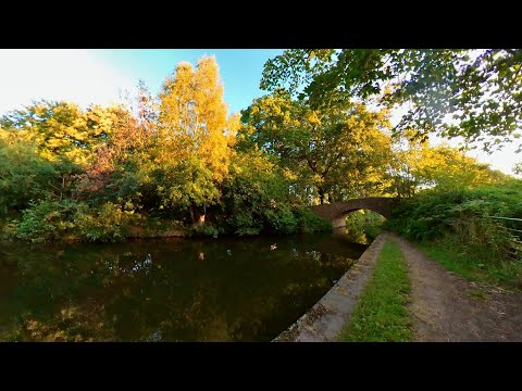
The village is characterized by its picturesque countryside, with rolling hills, lush green fields, and a scattering of charming cottages. The area is popular with nature enthusiasts, as it is surrounded by beautiful woodlands and offers plenty of opportunities for walking, hiking, and wildlife spotting.
Despite its small size, Gillway has a strong sense of community. The village is home to a community center, which hosts various events and activities throughout the year, fostering a friendly and welcoming atmosphere. A local pub provides a gathering place for residents to socialize and enjoy a drink or a meal together.
In terms of amenities, Gillway benefits from its proximity to the town of Cannock, which offers a range of shops, supermarkets, and services. The village is well-connected to surrounding areas by road, with easy access to major motorways including the M6 and M6 Toll.
Overall, Gillway offers a tranquil and idyllic living environment for those seeking a rural lifestyle with convenient access to nearby urban centers. Its natural beauty, strong community spirit, and convenient location make it an attractive place to reside in Staffordshire.
If you have any feedback on the listing, please let us know in the comments section below.
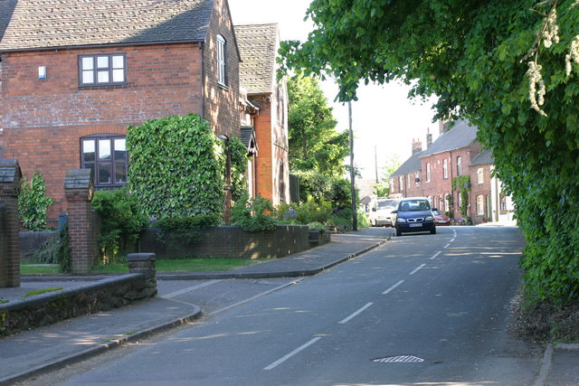
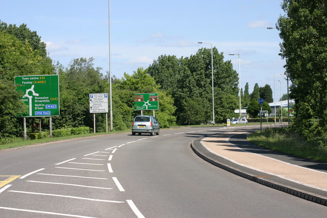
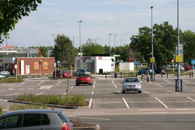
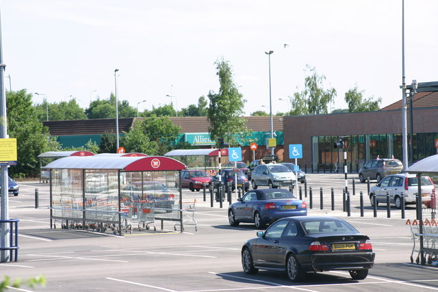
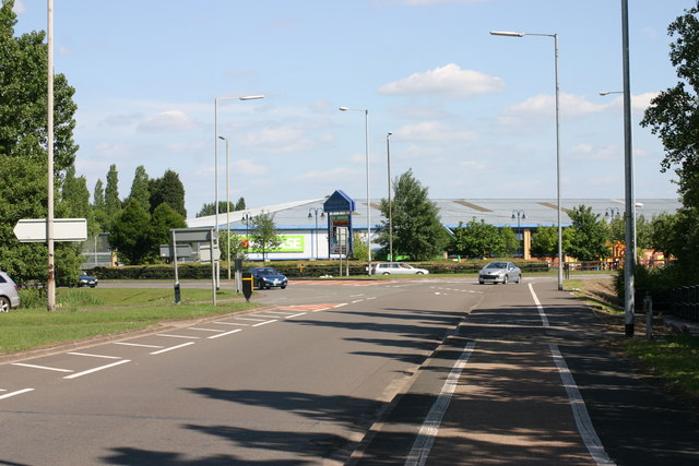
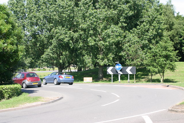
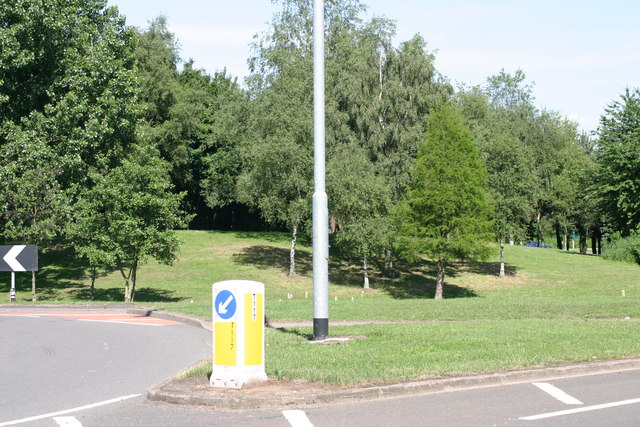
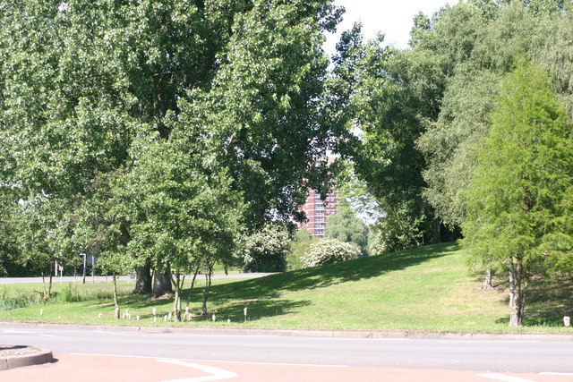
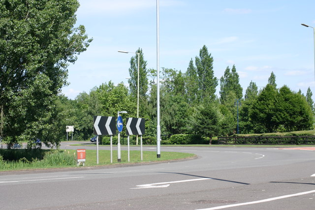
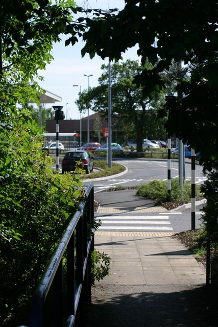
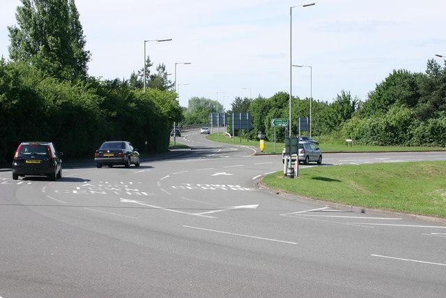
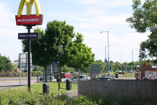
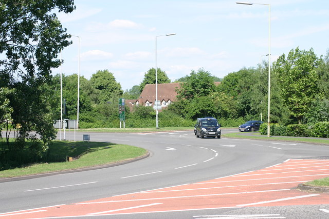
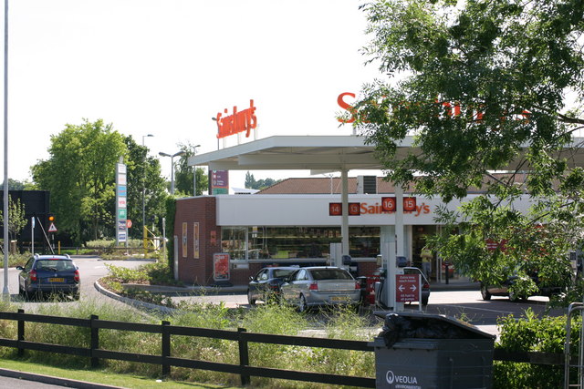
Gillway Images
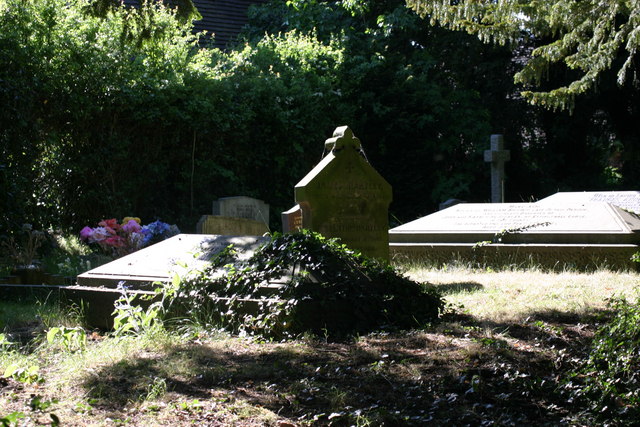
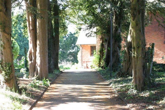
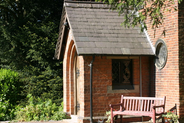
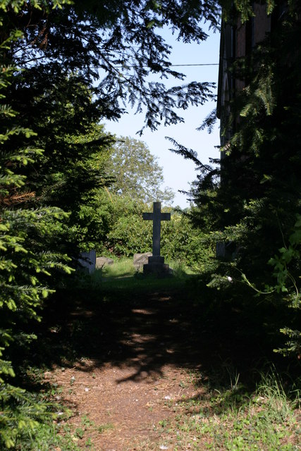
Images are sourced within 2km of 52.642377/-1.7058632 or Grid Reference SK2005. Thanks to Geograph Open Source API. All images are credited.
Gillway is located at Grid Ref: SK2005 (Lat: 52.642377, Lng: -1.7058632)
Administrative County: Staffordshire
District: Tamworth
Police Authority: Staffordshire
What 3 Words
///casino.calm.author. Near Tamworth, Staffordshire
Nearby Locations
Related Wikis

Leyfields
Leyfields is a housing estate in Tamworth, Staffordshire, consisting of 3-storey flats, maisonettes, bungalows and houses. It was built in the 1960s as...

Gillway
Gillway is a council estate in Tamworth, United Kingdom built in the 1950s. It is a small suburb consisting of brick and concrete houses and two storey...
Landau Forte Academy QEMS
Landau Forte Academy QEMS (Formerly "Queen Elizabeth's Mercian School", until 1 September 2011) is an 11-16 secondary school with academy status located...

Moat House, Tamworth
The Moat House is a Grade II* building in Tamworth, Staffordshire, England, in what were once the grounds of Tamworth Castle. The summer house, in the...
Landau Forte Academy Tamworth Sixth Form
Landau Forte Academy Tamworth Sixth Form is a Sixth form centre and academy situated in Tamworth, Staffordshire, England. == History == The Sixth form...
The Rawlett School
The Rawlett School is a secondary school with academy status located on the outskirts of Tamworth, a market town in Staffordshire, England. It was previously...
Wigginton and Hopwas
Wigginton and Hopwas is a civil parish in Lichfield District, Staffordshire, England. The villages of Wigginton and Hopwas, that make up the parish, lie...
Perry Crofts
Perry Crofts is a housing estate in Tamworth, Staffordshire, England, built in the 1970s. It is a small suburb consisting of brick and wood houses. The...
Related Videos
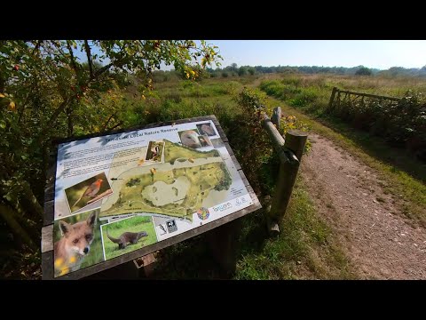
Peaceful Walk through Tameside Nature Reserve, UK Walking Tour, English Countryside in 4K.
Peaceful Walk through Tameside Nature Reserve, UK Walking Tour, English Countryside in 4K. A quiet and peaceful walk ...

Walking Tamworth in Staffordshire
Time to head up the A5 Watling Street and have a look at Tamworth Sam one of our subscribers invited me up to have a walk ...
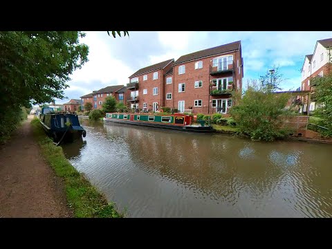
Peaceful Canal Walk to Fazeley Junction. English Countryside 4K. UK Walking Tour.
Peaceful Canal Walk to Fazeley Junction. English Countryside 4K. UK Walking Tour. Walk along the Birmingham & Fazeley Canal ...
Hopwas Forest Canal Early Morning Walk, English Countryside 4K. Walking Tour
Join me on an early morning walk along the Birmingham & Fazeley Canal alongside the Hopwas Forest, enjoying the beautiful ...
Nearby Amenities
Located within 500m of 52.642377,-1.7058632Have you been to Gillway?
Leave your review of Gillway below (or comments, questions and feedback).