Penysarn

Settlement in Anglesey

Wales

Penysarn

Trig point Parys Mountain The flush bracket revealing OS BM S7305. <a href="https://www.geograph.org.uk/photo/4637442">SH4490 : OS Flush bracket on Parys Mountain</a>
Trig point Parys Mountain Credit: Richard Hoare

The requested URL returned error: 429 Too Many Requests

If you have any feedback on the listing, please let us know in the comments section below.
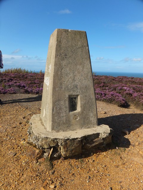
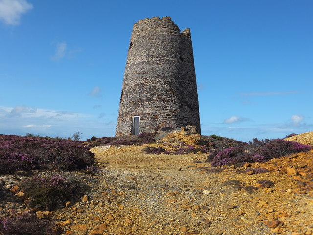
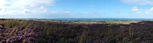
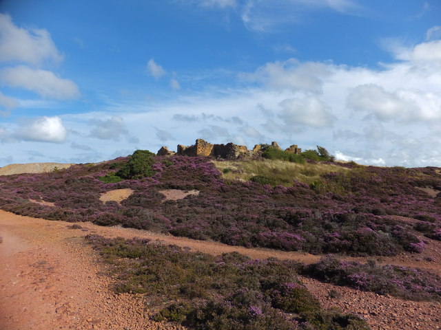
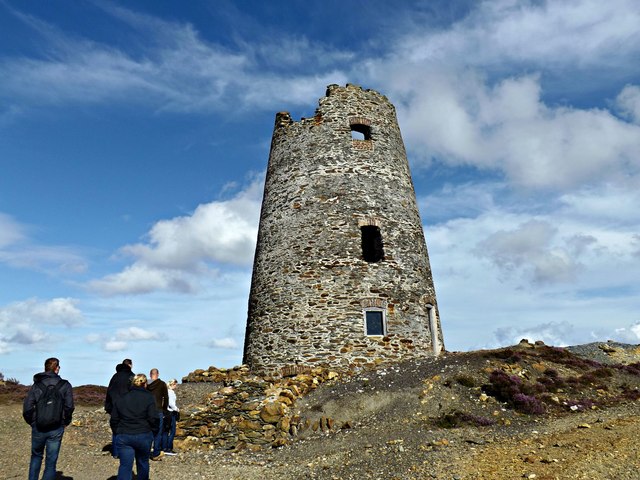
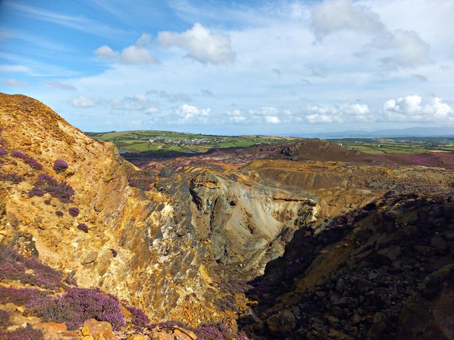
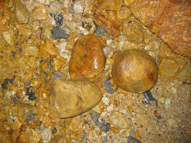
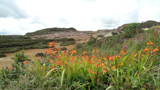
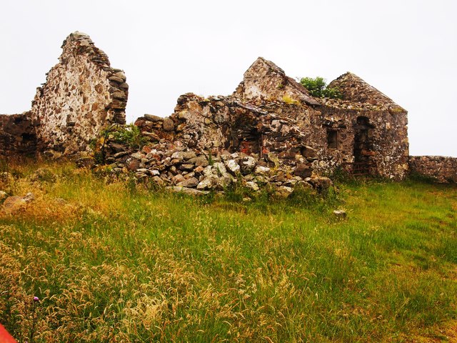
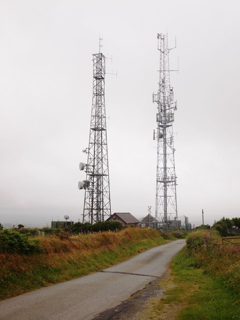
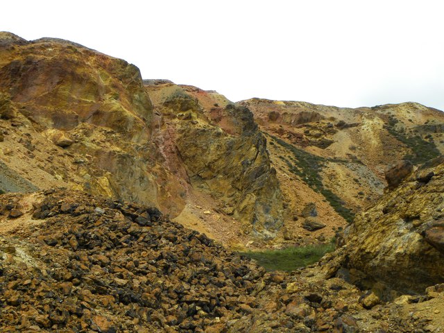
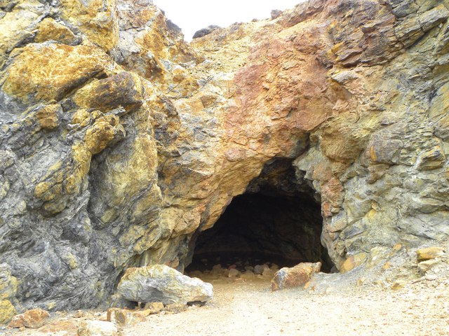
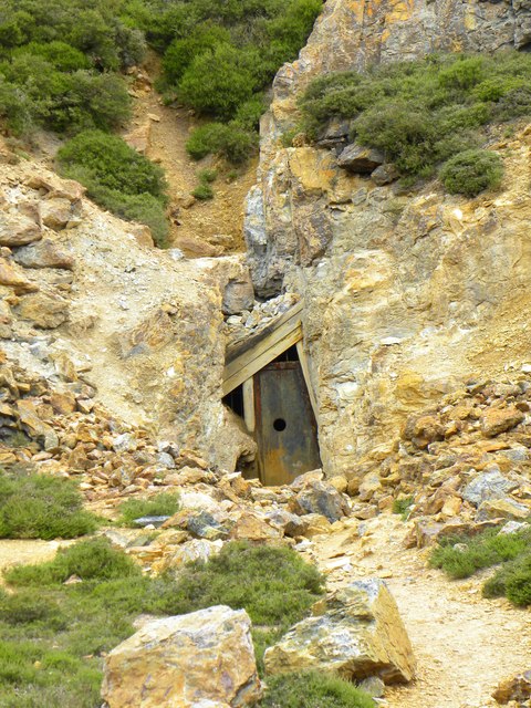
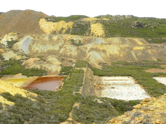
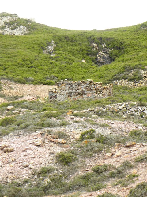
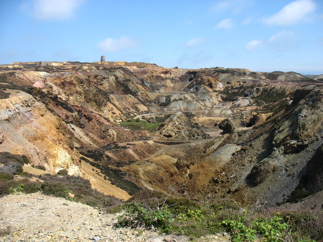
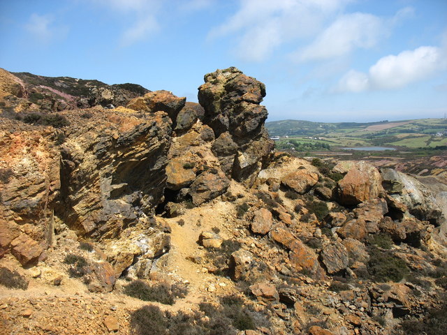
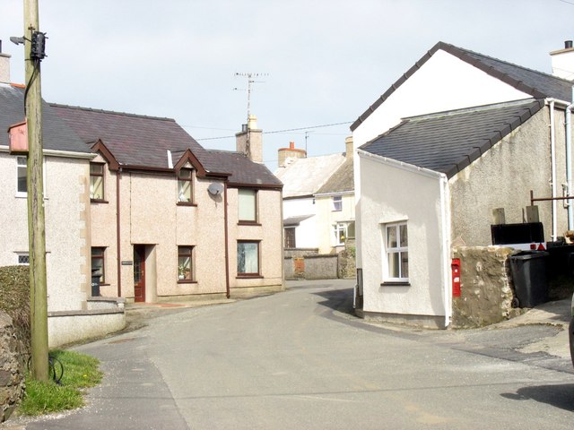
Penysarn Images

Images are sourced within 2km of 53.390626/-4.318989 or Grid Reference SH4590. Thanks to Geograph Open Source API. All images are credited.

Trig point Parys Mountain The flush bracket revealing OS BM S7305. <a href="https://www.geograph.org.uk/photo/4637442">SH4490 : OS Flush bracket on Parys Mountain</a>
Trig point Parys Mountain
The flush bracket revealing OS BM S7305. SH4490 : OS Flush bracket on Parys Mountain
Five sailed windmill Parys Mountain Built 1878 to help pump water from the mine.
Five sailed windmill Parys Mountain
Built 1878 to help pump water from the mine.
Panorama of Amlwch From the windmill on Parys Mountain.
Panorama of Amlwch
From the windmill on Parys Mountain.
OS Flush bracket on Parys Mountain On the trig point revealing OS BM S7305.<a href="https://www.geograph.org.uk/photo/4636587">SH4490 : Trig point Parys Mountain</a>
OS Flush bracket on Parys Mountain
On the trig point revealing OS BM S7305.SH4490 : Trig point Parys Mountain
Ruins of Mona Mine Yard Originally the offices, smithy, mortuary and stores were the focus of the mine's surface activities.
Ruins of Mona Mine Yard
Originally the offices, smithy, mortuary and stores were the focus of the mine's surface activities.
Five Sailed Windmill Located at Parys Mountain The windmill itself was built in the year 1878 upon the summit of Parys Mountain. The unique and unusual design of the windmill meant that it had 5 sails. Currently the building is used as a sheltered information site.
Five Sailed Windmill Located at Parys Mountain
The windmill itself was built in the year 1878 upon the summit of Parys Mountain. The unique and unusual design of the windmill meant that it had 5 sails. Currently the building is used as a sheltered information site.
Hillside Opencast Disused opencast mine.
Hillside Opencast
Disused opencast mine.
Hammer Stones These are located underground in old bell pits that date from the Bronze Age.  Peat/vegetation remains associated with these are carbon dated to approximately 3500 years ago. They were used to pound against the rock to break it up. The stones are geologically different to the rocks of the mine and are thought to  originate from Porth Wen nearby.
Hammer Stones
These are located underground in old bell pits that date from the Bronze Age. Peat/vegetation remains associated with these are carbon dated to approximately 3500 years ago. They were used to pound against the rock to break it up. The stones are geologically different to the rocks of the mine and are thought to originate from Porth Wen nearby.
Wild flowers & spoil heaps, Parys Mountain, Anglesey
Ruin, Near Tyddyn-mawr
Communication Masts, Nebo
Down in the big opencast The lunar landscape as seen from down in the bottom of the big opencast of Parys copper mine. The multicoloured rocks are reminiscent of Arizona or Utah, but here they are mostly due to staining by the mineral content.
Down in the big opencast
The lunar landscape as seen from down in the bottom of the big opencast of Parys copper mine. The multicoloured rocks are reminiscent of Arizona or Utah, but here they are mostly due to staining by the mineral content.
An interesting looking hole From the rim of the big opencast of Parys mine, this looked like an interesting hole down in the bottom of the pit. On examination it proved less exciting as it appeared to be no more than a cave, presumably excavated by pick and shovel in search of copper ore. Enough water inside to deter exploration.
An interesting looking hole
From the rim of the big opencast of Parys mine, this looked like an interesting hole down in the bottom of the pit. On examination it proved less exciting as it appeared to be no more than a cave, presumably excavated by pick and shovel in search of copper ore. Enough water inside to deter exploration.
Old mine entrance, Parys Mountain This looks like the entrance to a level within the confines of the big opencast at Parys Mine. It's also rather like those images from old 'western' films where gold mining might be featured.
Old mine entrance, Parys Mountain
This looks like the entrance to a level within the confines of the big opencast at Parys Mine. It's also rather like those images from old 'western' films where gold mining might be featured.
Precipitation ponds Much copper could be won from the use of these precipitation ponds, as copper rich liquid draining from the mines could be contained here. Scrap iron, often brought in from far and wide, would be thrown into the ponds where the liquid reacted with the iron, dissolving it and leaving a copper rich sludge which could then be dried and smelted in nearby kilns.
Precipitation ponds
Much copper could be won from the use of these precipitation ponds, as copper rich liquid draining from the mines could be contained here. Scrap iron, often brought in from far and wide, would be thrown into the ponds where the liquid reacted with the iron, dissolving it and leaving a copper rich sludge which could then be dried and smelted in nearby kilns.
Remains of old kilns at Mona Mine These kilns are on the hillside above the precipitation ponds of Mona Mine, and it was here that the copper rich sludge retrieved from the ponds was dried and then roasted. There's still plenty of slag around the area which even now has a distinctly sulphurous smell.
Remains of old kilns at Mona Mine
These kilns are on the hillside above the precipitation ponds of Mona Mine, and it was here that the copper rich sludge retrieved from the ponds was dried and then roasted. There's still plenty of slag around the area which even now has a distinctly sulphurous smell.
The old copper mine on Parys Mountain ...
The old copper mine on Parys Mountain
...
Near the summit of Parys Mountain In the old copper mine.
Near the summit of Parys Mountain
In the old copper mine.
Show me another place!

Penysarn is located at Grid Ref: SH4590 (Lat: 53.390626, Lng: -4.318989)

Unitary Authority: Isle of Anglesey

Police Authority: North Wales

Also known as: Pen-y-sarn

What 3 Words

///devours.nickname.hindered. Near Amlwch, Isle of Anglesey

Related Wikis

Penysarn

Penysarn (; Welsh pronunciation: [pɛnˈsarn]) is a small village located within Llaneilian Community, in the north-eastern corner of Anglesey, Wales, and...

Gadfa

Gadfa is a hamlet in the community of Llaneilian, Anglesey, Wales, which is 140 miles (225.3 km) from Cardiff and 218.8 miles (352.1 km) from London. The...

Cerrig Mân

Cerrig Mân is a village in Anglesey, in north-west Wales, in the community of Llaneilian and the electoral ward of Twrcelyn. It is located a mile north...

Nebo, Anglesey

Nebo is a hamlet in the community of Llaneilian, Anglesey, in north-west Wales. It is 140.1 miles (225.4 km) from Cardiff and 218.6 miles (351.8 km) from...

Nearby Amenities

Located within 500m of 53.390626,-4.318989
Penysarn
Is In: Anglesey
Place: village
Wikidata: Q7165424
Lat/Long: 53.3879006/-4.3160078
Post Office
Penysarn Post Office
Addr Postcode: LL69 9YD
Brand: Post Office
Brand Wikidata: Q1783168
Name Cy: Swyddfa'r Post Penysarn
Ref Pol Id: 144874
Lat/Long: 53.389692/-4.3172459
Penysarn Stores
Addr Housename: Arosfa
Addr Postcode: LL69 9YD
Addr Street: Stryd y Capel
Fhrs Id: 145844
Shop: convenience
Source Addr: FHRS Open Data
Lat/Long: 53.3893017/-4.3171078
Source: OS VectorMap District
Lat/Long: 53.3941097/-4.3143236
Source: OS VectorMap District
Lat/Long: 53.3941104/-4.3144149
Source: OS VectorMap District
Lat/Long: 53.3941474/-4.314521
Source: OS VectorMap District
Lat/Long: 53.394321/-4.3147907
Source: OS VectorMap District
Lat/Long: 53.3944224/-4.3149406
Source: OS VectorMap District
Lat/Long: 53.3945669/-4.3153527
Source: OS VectorMap District
Lat/Long: 53.3945829/-4.3155779
Power: pole
Source: Bing
Lat/Long: 53.3897228/-4.3205682
Power: pole
Source: Bing
Lat/Long: 53.3909673/-4.3201444
Power: pole
Lat/Long: 53.3878108/-4.321264
Power: pole
Source: Bing
Lat/Long: 53.3937483/-4.3203306
Power: pole
Source: Bing
Lat/Long: 53.3903787/-4.3203536
Power: pole
Lat/Long: 53.3868094/-4.3216073
Power: pole
Source: Bing
Lat/Long: 53.3919537/-4.319778
Power: pole
Source: Bing
Lat/Long: 53.3928654/-4.3200784
Power: pole
Lat/Long: 53.3887226/-4.3209367
Power: pole
Lat/Long: 53.3893806/-4.3124377
Power: pole
Lat/Long: 53.3903157/-4.3126472
Power: pole
Lat/Long: 53.3909647/-4.3123701
Power: pole
Lat/Long: 53.3916378/-4.3120727
Power: pole
Lat/Long: 53.3922806/-4.3120119
Power: pole
Source: Bing
Lat/Long: 53.3895608/-4.3126336
Power: pole
Lat/Long: 53.3948179/-4.3206322
Direction: 215
Generator Method: photovoltaic
Generator Output Electricity: yes
Generator Solar Modules: 14
Generator Source: solar
Generator Type: solar_photovoltaic_panel
Location: roof
Power: generator
Lat/Long: 53.3899527/-4.3161571
Direction: SSW
Generator Method: photovoltaic
Generator Output Electricity: yes
Generator Solar Modules: 14
Generator Source: solar
Generator Type: solar_photovoltaic_panel
Location: roof
Power: generator
Lat/Long: 53.3884483/-4.3163476
Direction: W
Generator Method: photovoltaic
Generator Output Electricity: yes
Generator Solar Modules: 4
Generator Source: solar
Generator Type: solar_photovoltaic_panel
Location: roof
Power: generator
Lat/Long: 53.3876853/-4.3176706
Direction: E
Generator Method: photovoltaic
Generator Output Electricity: yes
Generator Solar Modules: 8
Generator Source: solar
Generator Type: solar_photovoltaic_panel
Location: roof
Power: generator
Lat/Long: 53.3876853/-4.3176219
Direction: SE
Generator Method: photovoltaic
Generator Output Electricity: yes
Generator Solar Modules: 8
Generator Source: solar
Generator Type: solar_photovoltaic_panel
Location: roof
Power: generator
Lat/Long: 53.3869868/-4.3146577
Direction: SE
Generator Method: photovoltaic
Generator Output Electricity: yes
Generator Solar Modules: 8
Generator Source: solar
Generator Type: solar_photovoltaic_panel
Location: roof
Power: generator
Lat/Long: 53.3870038/-4.3146775
Direction: 275
Generator Method: photovoltaic
Generator Output Electricity: yes
Generator Solar Modules: 3
Generator Source: solar
Generator Type: solar_photovoltaic_panel
Location: roof
Power: generator
Lat/Long: 53.3885497/-4.3169871
Direction: 185
Generator Method: photovoltaic
Generator Output Electricity: yes
Generator Solar Modules: 3
Generator Source: solar
Generator Type: solar_photovoltaic_panel
Location: roof
Power: generator
Lat/Long: 53.3885125/-4.3170381
The data included in this document is from www.openstreetmap.org. The data is made available under ODbL.

Have you been to Penysarn?

Leave your review of Penysarn below (or comments, questions and feedback).