Pentrefelin

Settlement in Denbighshire

Wales

Pentrefelin

Llangollen Canal - the end Between the Bridge Hotel and the Horseshoe Falls, the canal terminates at this point.
Llangollen Canal - the end Credit: Trevor Harris

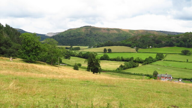
Pentrefelin is a small village located in Denbighshire, Wales. Situated in the picturesque Vale of Clwyd, this rural community is surrounded by rolling green hills and offers stunning views of the Clwydian Range Area of Outstanding Natural Beauty.

The village itself consists of a handful of houses, farms, and a small chapel. It is nestled in a tranquil setting, offering a peaceful escape from the hustle and bustle of city life. Pentrefelin is known for its tight-knit community and friendly atmosphere, with residents often organizing local events and gatherings.

Although small in size, the village benefits from its proximity to the nearby town of Ruthin, which provides essential services and amenities such as shops, schools, and healthcare facilities. This allows residents to enjoy the tranquility of Pentrefelin while still having convenient access to everyday necessities.

Pentrefelin is also a gateway to the natural wonders of Denbighshire, with numerous walking and hiking trails nearby. Outdoor enthusiasts can explore the stunning landscapes of the Clwydian Range, which offer breathtaking views and the opportunity to observe a variety of wildlife. The village is also within easy reach of the North Wales coastline, providing residents with the chance to enjoy sandy beaches and coastal activities.

Overall, Pentrefelin offers a charming and peaceful rural lifestyle, with its idyllic setting and close-knit community making it an attractive place to reside for those seeking a slower pace of life amidst the beauty of the Welsh countryside.

If you have any feedback on the listing, please let us know in the comments section below.
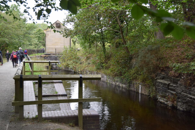
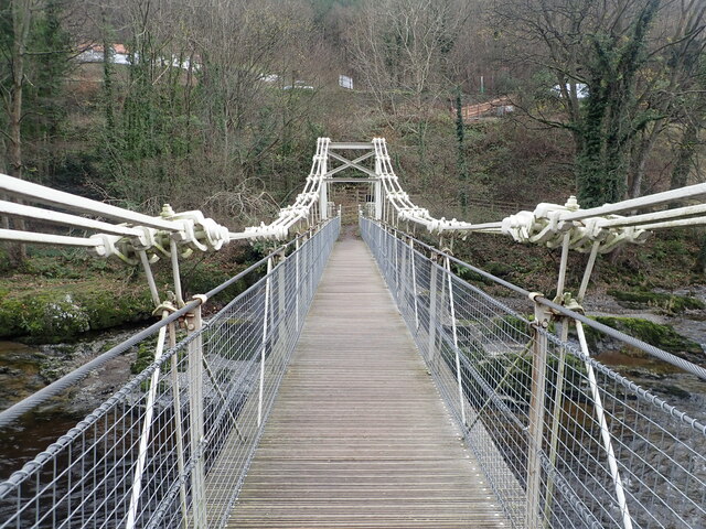
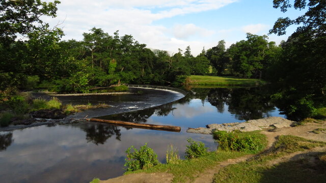
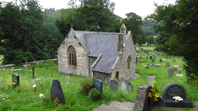
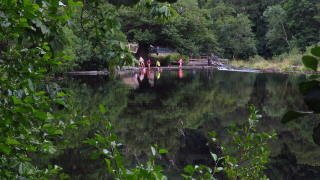
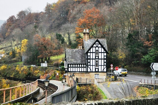
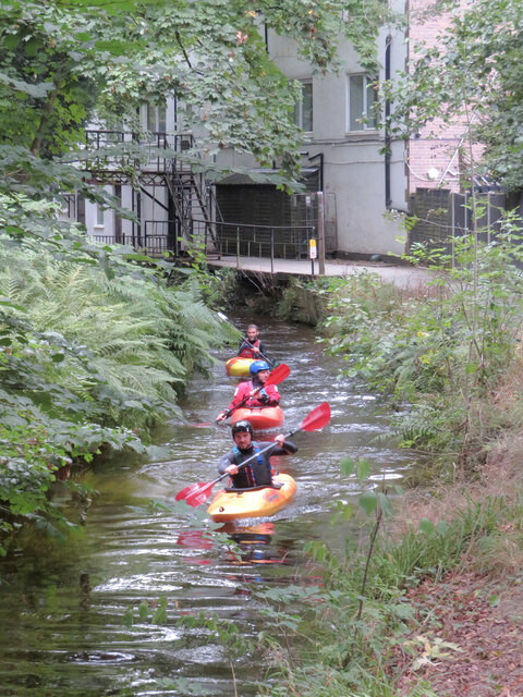
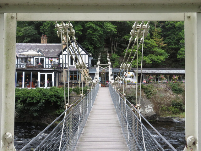
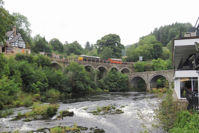
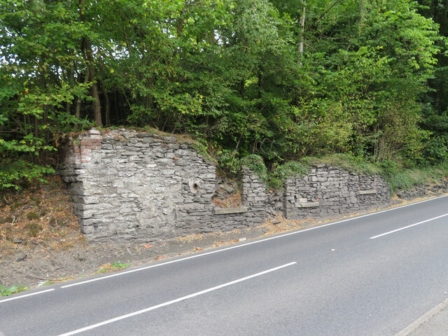
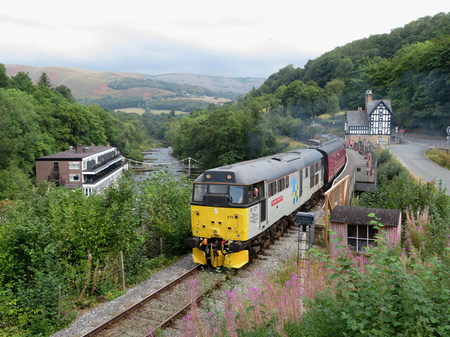
Pentrefelin Images

Images are sourced within 2km of 52.984627/-3.184175 or Grid Reference SJ2043. Thanks to Geograph Open Source API. All images are credited.

Llangollen Canal - the end Between the Bridge Hotel and the Horseshoe Falls, the canal terminates at this point.
Llangollen Canal - the end
Between the Bridge Hotel and the Horseshoe Falls, the canal terminates at this point.
The Chain Bridge There has been a crossing point over the River Dee at Berwyn as far back as Roman times, later serving the Cistercian monks of the nearby Valle Crucis Abbey. At the beginning of the 19th century plans were made to build the first bridge in this most beautiful of locations. Exuperius Pickering was a local entrepreneur dealing in limestone and slate. He had been involved in the building of the Pontcysyllte Aqueduct and had got to know Thomas Telford well.
Telford had been given the work of building the now A5 from London to Holyhead following the latter being chosen as the main port between Britain and Ireland. The existing road was already a major coaching route but its condition was no better than a dirt track in many places. Pickering was quick to see the trading opportunity as the route of the new road would travel close to his works in Berwyn. In conjunction with Telford, the first Llangollen Chain Bridge was duly completed in 1814, the year before work started on the new road. This was made of wood, with chains slung underneath. It survived until 1870 before needing a complete refurbishment by another famous engineer Sir Henry Robinson, owner of the Brymbo Iron Works. <span class="nowrap"><a title="http://web.archive.org/web/20081028133232/http://www.llangollen.org/en/10_Wonders_of_Llangollen_/The_Chain_Bridge" rel="nofollow ugc noopener" href="http://web.archive.org/web/20081028133232/http://www.llangollen.org/en/10_Wonders_of_Llangollen_/The_Chain_Bridge">Archive Link</a><img style="margin-left:2px;" alt="External link" title="External link - shift click to open in new window" src="https://s1.geograph.org.uk/img/external.png" width="10" height="10"/></span> The bridge fell into disrepair <a href="https://www.geograph.org.uk/photo/2365661">SJ1943 : The Chain Bridge</a> but thankfully, the adjacent Chain Bridge hotel has had new owners in recent years and they have now repaired the bridge as seen here.
The Chain Bridge
There has been a crossing point over the River Dee at Berwyn as far back as Roman times, later serving the Cistercian monks of the nearby Valle Crucis Abbey. At the beginning of the 19th century plans were made to build the first bridge in this most beautiful of locations. Exuperius Pickering was a local entrepreneur dealing in limestone and slate. He had been involved in the building of the Pontcysyllte Aqueduct and had got to know Thomas Telford well. Telford had been given the work of building the now A5 from London to Holyhead following the latter being chosen as the main port between Britain and Ireland. The existing road was already a major coaching route but its condition was no better than a dirt track in many places. Pickering was quick to see the trading opportunity as the route of the new road would travel close to his works in Berwyn. In conjunction with Telford, the first Llangollen Chain Bridge was duly completed in 1814, the year before work started on the new road. This was made of wood, with chains slung underneath. It survived until 1870 before needing a complete refurbishment by another famous engineer Sir Henry Robinson, owner of the Brymbo Iron Works. Archive LinkExternal link The bridge fell into disrepair SJ1943 : The Chain Bridge but thankfully, the adjacent Chain Bridge hotel has had new owners in recent years and they have now repaired the bridge as seen here.
Two bridges from a third bridge The lower bridge (King's Bridge) carries the B5103 over the River Dee to join the A5 near Berwyn Railway Station. The higher bridge is a viaduct crossing a tributary which joins the River Dee and carrying the steam railway between Llangollen and Carrog. The photo was taken from the Chain Bridge <a href="https://www.geograph.org.uk/photo/6979038">SJ1943 : The Chain Bridge</a>, a footbridge crossing the river from the Chain Bridge Hotel to Berwyn Station.
Two bridges from a third bridge
The lower bridge (King's Bridge) carries the B5103 over the River Dee to join the A5 near Berwyn Railway Station. The higher bridge is a viaduct crossing a tributary which joins the River Dee and carrying the steam railway between Llangollen and Carrog. The photo was taken from the Chain Bridge SJ1943 : The Chain Bridge, a footbridge crossing the river from the Chain Bridge Hotel to Berwyn Station.
Horseshoe Falls, Berwyn near Llangollen
Farmland at Maesyrychen uchaf as seen from Dee Valley Way, west of Llangollen
Llantysilio - St Tysilio's Church
Bathers at Horseshoe Falls, Berwyn near Llangollen
Berwyn Station on the Llangollen Railway Berwyn Station from the A5 going towards Llangollen.
Berwyn Station on the Llangollen Railway
Berwyn Station from the A5 going towards Llangollen.
The A5 at Berwyn
The A5 at Berwyn
Parkland above the Horsehoe Falls in Berwyn
Horseshoe Falls at Berwyn
Canoeing on the Llangollen Canal in Berwyn
Footbridge over the Llangollen Canal in Berwyn
View along the chainbridge at Berwyn
Llangollen Railway at River Dee at Berwyn Class 26 No. 5310 approaches Berwyn station during the Llangollen Railway's diesel gala. It is working a ballast train, but with a carriage included to provide passenger-accommodation.
Llangollen Railway at River Dee at Berwyn
Class 26 No. 5310 approaches Berwyn station during the Llangollen Railway's diesel gala. It is working a ballast train, but with a carriage included to provide passenger-accommodation.
Derelict building beside the A5 in Berwyn It is not clear what this building once was. Old maps of the area show a Methodist chapel near this site, but this building doesn't look like a typical chapel.
Derelict building beside the A5 in Berwyn
It is not clear what this building once was. Old maps of the area show a Methodist chapel near this site, but this building doesn't look like a typical chapel.
Llangollen Railway at Berwyn station Class 31 No. 31271 arrives at Berwyn with a service for Carrog during the Llangollen Railway's diesel gala.
Llangollen Railway at Berwyn station
Class 31 No. 31271 arrives at Berwyn with a service for Carrog during the Llangollen Railway's diesel gala.
Llangollen Railway at Berwyn Class 31 No. 31271 departs Berwyn with a service for Carrog during the Llangollen Railway's diesel gala.
Llangollen Railway at Berwyn
Class 31 No. 31271 departs Berwyn with a service for Carrog during the Llangollen Railway's diesel gala.
Show me another place!

Pentrefelin is located at Grid Ref: SJ2043 (Lat: 52.984627, Lng: -3.184175)

Unitary Authority: Denbighshire

Police Authority: North Wales

What 3 Words

///unafraid.install.cosmic. Near Llangollen, Denbighshire

Related Wikis

Valle Crucis Abbey

Valle Crucis Abbey (Valley of the Cross) is a Cistercian abbey located in Llantysilio in Denbighshire, Wales. More formally the Abbey Church of the Blessed...

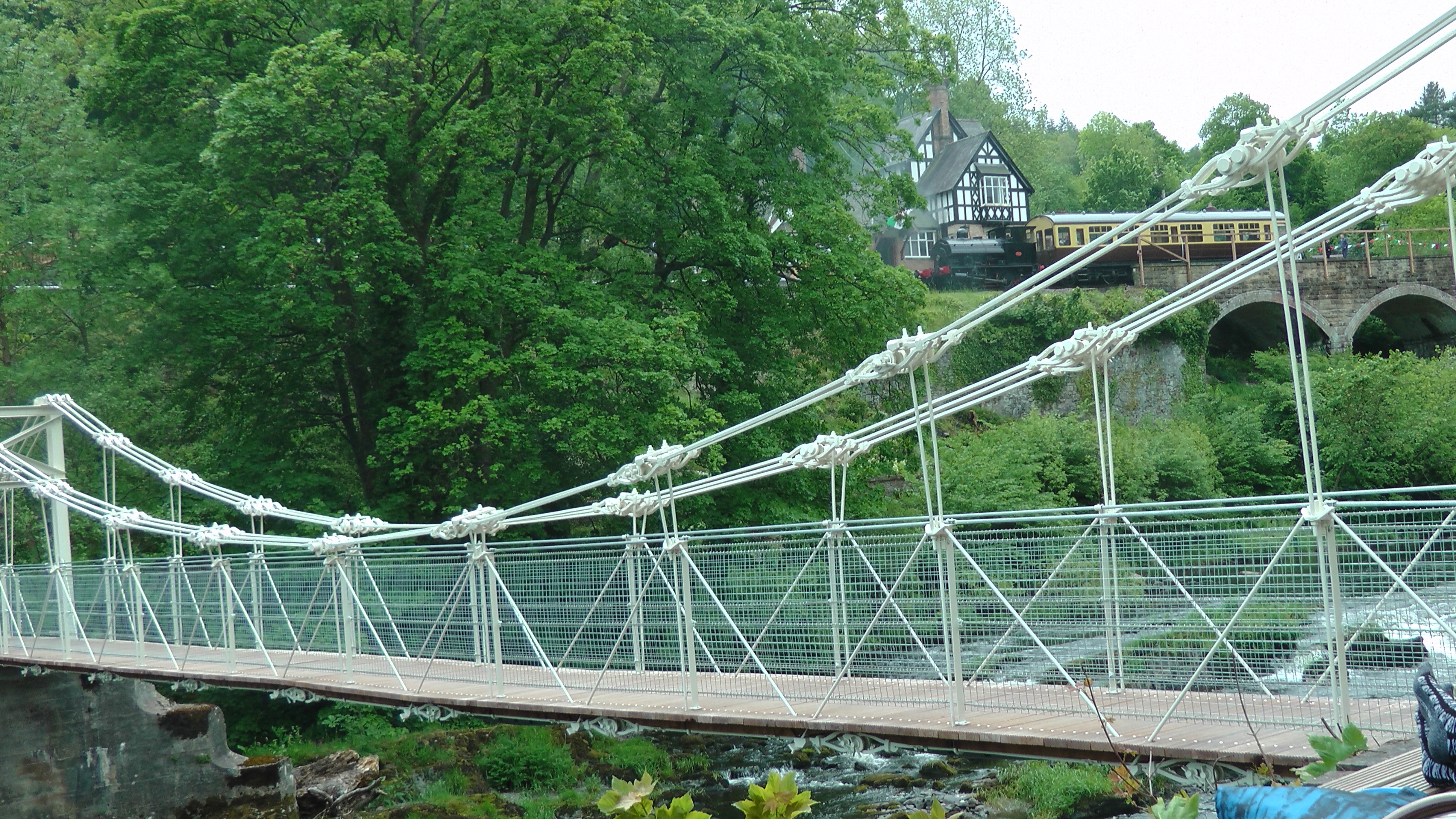
Chain Bridge (Berwyn)

The Chain Bridge is a footbridge over the River Dee at Berwyn, Llangollen, Denbighshire, north Wales. Is owned by Llangollen Town Council and a pathway...
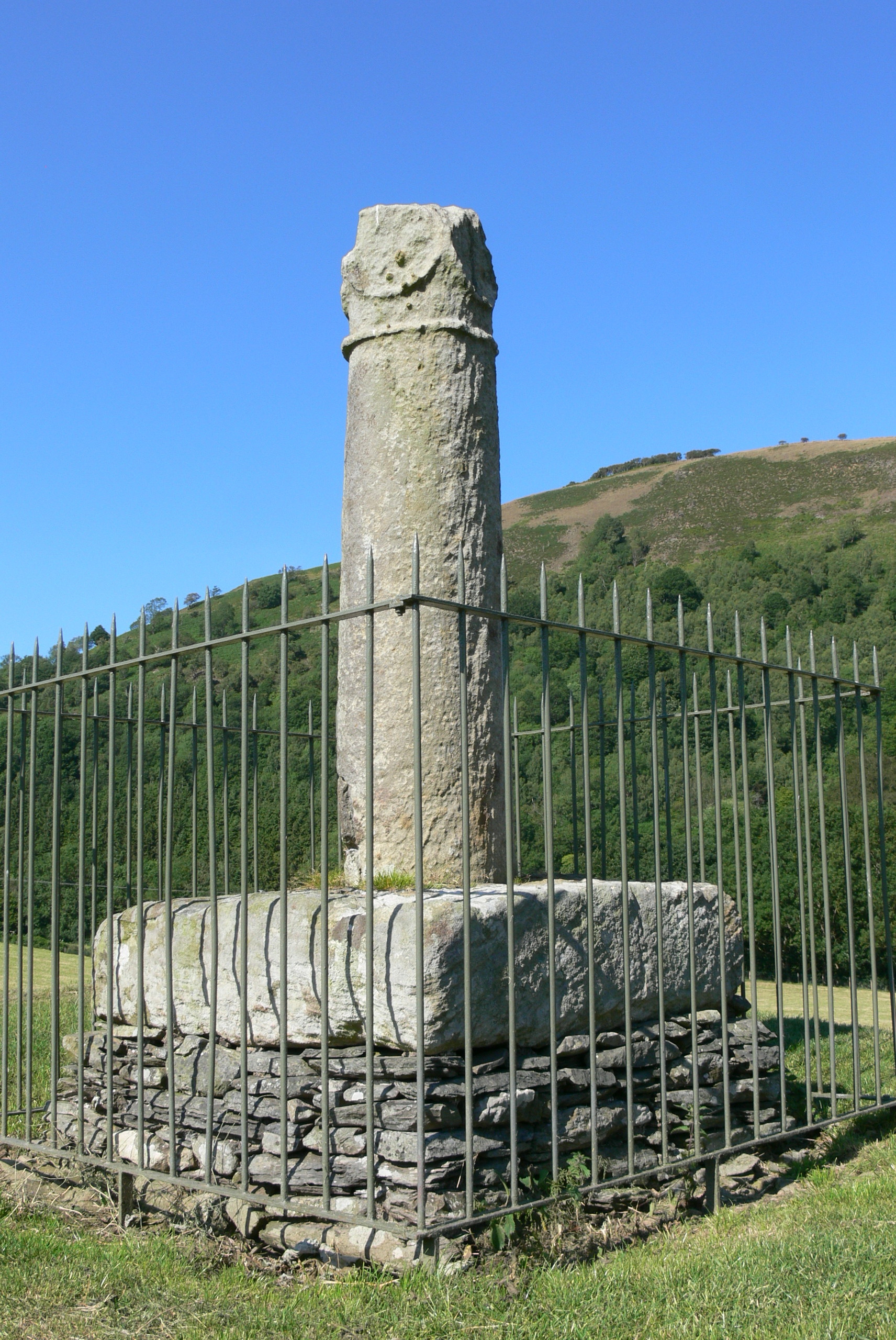
Pillar of Eliseg

The Pillar of Eliseg – also known as Elise's Pillar or Croes Elisedd in Welsh – stands near Valle Crucis Abbey, Denbighshire, Wales [Grid reference SJ...

Bryntysilio Hall

Bryntysilio Hall is a country house in Llantysilio, Denbighshire, north Wales, two miles west of Llangollen. It was the summer residence of Sir Theodore...

Nearby Amenities

Located within 500m of 52.984627,-3.184175
Created By: POI Editor
Source: npe
Lat/Long: 52.9831099/-3.1875211
Source: npe
Lat/Long: 52.9831768/-3.1826528
Give Way
Lat/Long: 52.9847814/-3.1866025
Railway: buffer_stop
Lat/Long: 52.9826834/-3.1810041
Llangollen Motor Museum
Addr City: Llangollen
Addr Postcode: LL20 8EE
Addr Street: Pentre Felin
Alt Name: Llangollen Motor and Motorcycle Museum
Fee: yes
Tourism: museum
Website: https://www.llangollenmotormuseum.co.uk/
Wikidata: Q6661487
Lat/Long: 52.9837348/-3.1832645
Barrier: stile
Foot: yes
Lat/Long: 52.9861191/-3.1881779
Barrier: stile
Lat/Long: 52.986755/-3.1787053
Railway: switch
Lat/Long: 52.9812067/-3.1802048
Place: farm
Lat/Long: 52.9863515/-3.1838619
Abbey Dingle
Fixme: not sure of exact name...
Historic: ruins
Lat/Long: 52.9884507/-3.1861608
Parking
Lat/Long: 52.9838679/-3.1839624
Noexit: yes
Lat/Long: 52.9835968/-3.1817087
Power: pole
Lat/Long: 52.9876688/-3.1839564
Power: pole
Lat/Long: 52.9870326/-3.1834093
Power: pole
Lat/Long: 52.9864772/-3.1831625
Power: pole
Lat/Long: 52.9857005/-3.1815773
Power: pole
Lat/Long: 52.9852451/-3.1798527
Power: pole
Lat/Long: 52.9850724/-3.1790453
Power: pole
Lat/Long: 52.9848657/-3.177959
Power: pole
Lat/Long: 52.9846848/-3.1770739
Railway: buffer_stop
Lat/Long: 52.9825374/-3.1812455
Railway: switch
Lat/Long: 52.9813537/-3.1803442
Railway: buffer_stop
Lat/Long: 52.9827457/-3.1814493
Railway: switch
Lat/Long: 52.9816686/-3.1807144
Railway: buffer_stop
Lat/Long: 52.9827392/-3.1815056
Railway: buffer_stop
Lat/Long: 52.9827147/-3.181273
Railway: switch
Lat/Long: 52.9810087/-3.1800173
Railway: buffer_stop
Lat/Long: 52.9827269/-3.1812157
Railway: buffer_stop
Lat/Long: 52.9827414/-3.1811603
Direction: SSE
Generator Method: photovoltaic
Generator Output Electricity: yes
Generator Solar Modules: 2
Generator Source: solar
Generator Type: solar_photovoltaic_panel
Location: roof
Power: generator
Lat/Long: 52.9817563/-3.1869089
Direction: SSE
Generator Method: photovoltaic
Generator Output Electricity: yes
Generator Solar Modules: 2
Generator Source: solar
Generator Type: solar_photovoltaic_panel
Location: roof
Power: generator
Lat/Long: 52.9817838/-3.1868935
Direction: ESE
Generator Method: photovoltaic
Generator Output Electricity: yes
Generator Solar Modules: 4
Generator Source: solar
Generator Type: solar_photovoltaic_panel
Location: roof
Power: generator
Lat/Long: 52.9817549/-3.1868616
Direction: SSW
Generator Method: photovoltaic
Generator Output Electricity: yes
Generator Solar Modules: 4
Generator Source: solar
Generator Type: solar_photovoltaic_panel
Location: roof
Power: generator
Lat/Long: 52.9817434/-3.1869257
Direction: SSW
Generator Method: photovoltaic
Generator Output Electricity: yes
Generator Solar Modules: 14
Generator Source: solar
Generator Type: solar_photovoltaic_panel
Location: roof
Power: generator
Lat/Long: 52.9818944/-3.1870893
Bench
Backrest: yes
Material: wood
Lat/Long: 52.9830841/-3.1891963
Bench
Backrest: yes
Material: wood
Lat/Long: 52.9839022/-3.1863057
The data included in this document is from www.openstreetmap.org. The data is made available under ODbL.

Have you been to Pentrefelin?

Leave your review of Pentrefelin below (or comments, questions and feedback).