Birchhall Corner

Settlement in Essex Tendring

England

Birchhall Corner

Aggregate Works, Martells Pit
Aggregate Works, Martells Pit Credit: N Chadwick

Birchhall Corner is a small village located in the county of Essex, in the eastern part of England. It is situated approximately 20 miles northeast of the city of Chelmsford and 10 miles northwest of the town of Colchester. The village is part of the civil parish of Birch and Winstree.

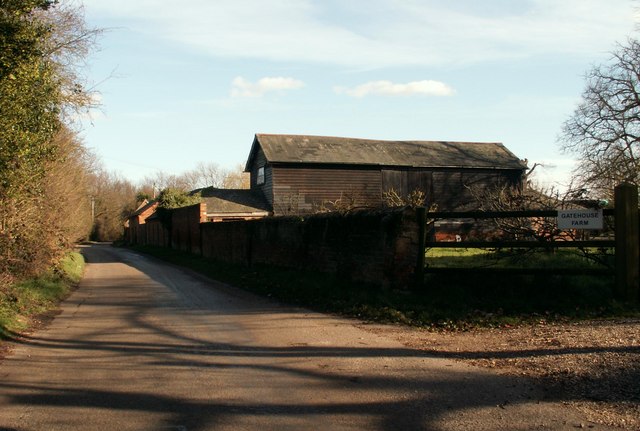
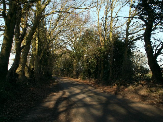
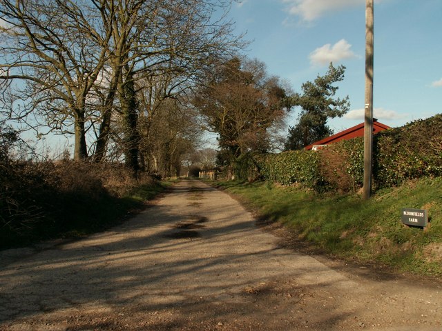
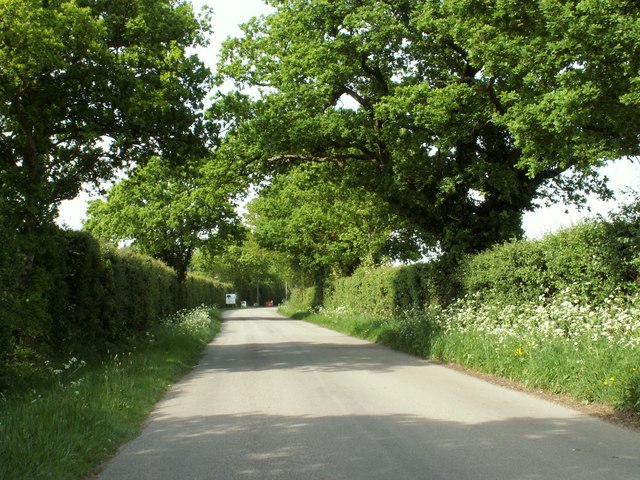
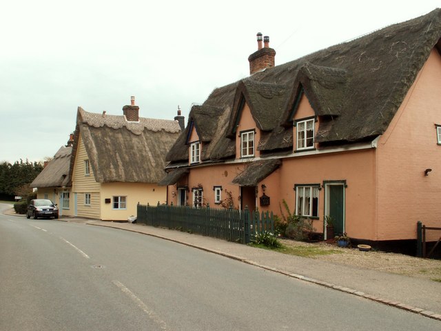
The area surrounding Birchhall Corner is characterized by its picturesque countryside and rolling hills. It is predominantly a rural community, with a scattering of residential properties and farmland. The village is known for its peaceful and idyllic atmosphere, offering residents a tranquil retreat from the hustle and bustle of nearby urban areas.

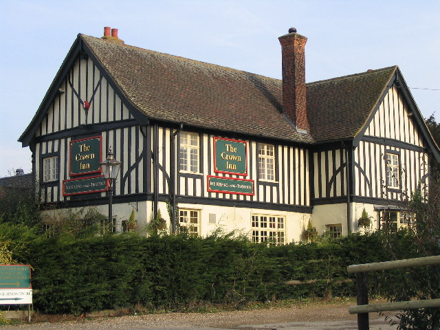
In terms of amenities, Birchhall Corner is relatively small and lacks major facilities. However, there are a few local businesses, including a small convenience store and a pub, providing essential services and a gathering spot for locals. The village also benefits from a strong sense of community, with regular events and gatherings organized by residents.

Nature lovers will appreciate the abundance of natural beauty in Birchhall Corner. The surrounding countryside offers numerous walking and cycling opportunities, with scenic trails and paths. The village is also close to several nature reserves and parks, such as the nearby Colne Valley Regional Park, providing additional recreational options for outdoor enthusiasts.

Overall, Birchhall Corner is a charming and peaceful village, offering a close-knit community and an escape from the fast-paced urban lifestyle.

If you have any feedback on the listing, please let us know in the comments section below.

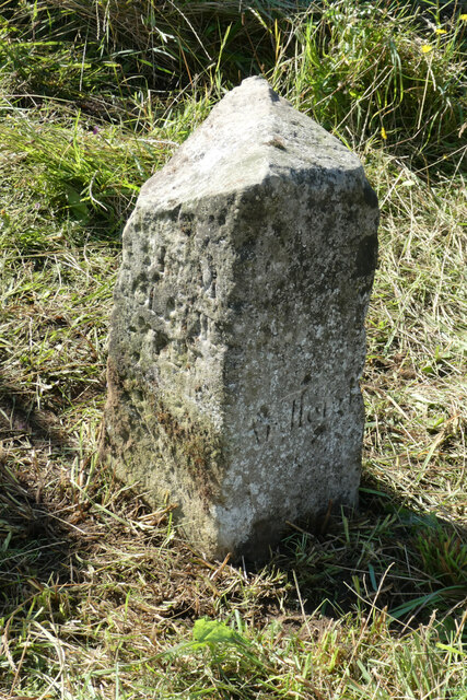
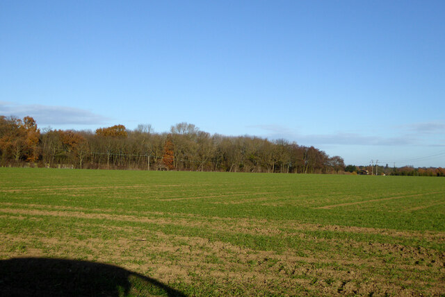
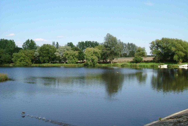
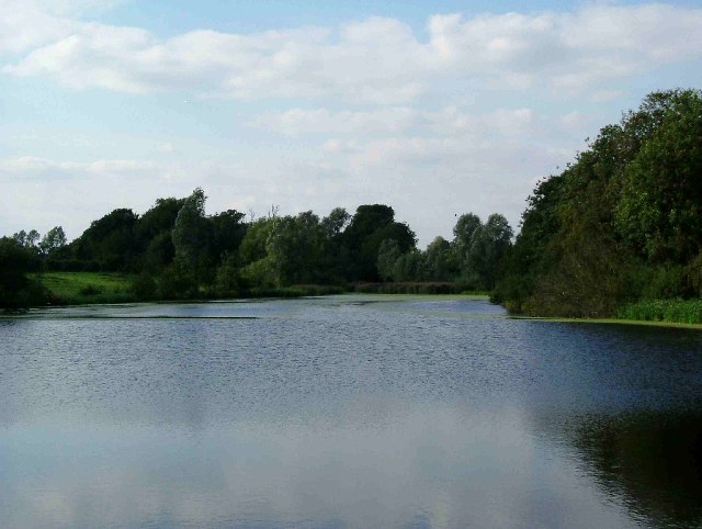
Birchhall Corner Images

Images are sourced within 2km of 51.931112/0.96584055 or Grid Reference TM0430. Thanks to Geograph Open Source API. All images are credited.

Aggregate Works, Martells Pit
Old Milestone, Old Ipswich Road (Was A12), 240m South of Harts Lane Junction The milestone is located in front of  the PRM Commercials garage on the east side of road. Parish of Ardleigh (Tendring District). Carved stone post, erected by the Chelmsford (Division of Essex First District) turnpike trust in the 19th century. 

Inscription is now largely eroded but the following is discernible on the front face:- Ardleigh

Listed grade II, list entry number:1147792  <span class="nowrap"><a title="https://historicengland.org.uk/listing/the-list/list-entry/1147792" rel="nofollow ugc noopener" href="https://historicengland.org.uk/listing/the-list/list-entry/1147792">Link</a><img style="margin-left:2px;" alt="External link" title="External link - shift click to open in new window" src="https://s1.geograph.org.uk/img/external.png" width="10" height="10"/></span>
Essex HER listed. SMR Number: 15743 <span class="nowrap"><a title="https://www.heritagegateway.org.uk/Gateway/Results_Single.aspx?uid=MEX1009948&resourceID=1001" rel="nofollow ugc noopener" href="https://www.heritagegateway.org.uk/Gateway/Results_Single.aspx?uid=MEX1009948&resourceID=1001">Link</a><img style="margin-left:2px;" alt="External link" title="External link - shift click to open in new window" src="https://s1.geograph.org.uk/img/external.png" width="10" height="10"/></span>

The milestone was found by a Milestone Society member fallen, probably following local flooding, and was re-erected by a working party from the Society for the Protection of Ancient Buildings in August 2021.

Milestone Society National ID: EX_COIP55
Old Milestone, Old Ipswich Road (Was A12), 240m South of Harts Lane Junction
The milestone is located in front of the PRM Commercials garage on the east side of road. Parish of Ardleigh (Tendring District). Carved stone post, erected by the Chelmsford (Division of Essex First District) turnpike trust in the 19th century. Inscription is now largely eroded but the following is discernible on the front face:- Ardleigh Listed grade II, list entry number:1147792 LinkExternal link Essex HER listed. SMR Number: 15743 LinkExternal link The milestone was found by a Milestone Society member fallen, probably following local flooding, and was re-erected by a working party from the Society for the Protection of Ancient Buildings in August 2021. Milestone Society National ID: EX_COIP55
Field north of Birchwood Road
Ardleigh Reservoir from Wick Lane This is a shot of Ardleigh Reservoir north of Colchester taken from near Fountain Farm. The Reservoir was created in the 1970’s when Colchester’s traditional water source at Lexden Springs became inadequate for the expanding town. The picture was taken from a causeway on Wick Lane looking north east(ish).
Ardleigh Reservoir from Wick Lane
This is a shot of Ardleigh Reservoir north of Colchester taken from near Fountain Farm. The Reservoir was created in the 1970’s when Colchester’s traditional water source at Lexden Springs became inadequate for the expanding town. The picture was taken from a causeway on Wick Lane looking north east(ish).
Ardleigh Reservoir near Hillhouse Farm This is a shot of Ardleigh Reservoir north of Colchester taken from near Hillhouse Farm on Lodge Lane this picture is looking north west. See also <a href="https://www.geograph.org.uk/gridref/TM0429">TM0429</a>
Ardleigh Reservoir near Hillhouse Farm
This is a shot of Ardleigh Reservoir north of Colchester taken from near Hillhouse Farm on Lodge Lane this picture is looking north west. See also TM0429
Ardleigh Reservoir This is a shot of Ardleigh Reservoir north of Colchester taken from the end of Lodge Lane. The picture looks west across the water. See also <a href="https://www.geograph.org.uk/gridref/TM0429">TM0429</a> & <a href="https://www.geograph.org.uk/gridref/TM0329">TM0329</a>
Ardleigh Reservoir
This is a shot of Ardleigh Reservoir north of Colchester taken from the end of Lodge Lane. The picture looks west across the water. See also TM0429 & TM0329
The Crown Inn On Old Ipswich Road near Ardleigh
The Crown Inn
On Old Ipswich Road near Ardleigh
The Ancient House Brasserie, Ardleigh, Essex This beautiful 16th century timber-framed building stands on the south side of the Colchester Road, not far from the crossroads in Ardleigh.
The Ancient House Brasserie, Ardleigh, Essex
This beautiful 16th century timber-framed building stands on the south side of the Colchester Road, not far from the crossroads in Ardleigh.
Milepost Milepost outside Lodge Farm near Ardleigh
Milepost
Milepost outside Lodge Farm near Ardleigh
The Morning After This is the A137 Colchester Rd Ardleigh at the Wooden Fender on New Years Morning looking towards the village.
The Morning After
This is the A137 Colchester Rd Ardleigh at the Wooden Fender on New Years Morning looking towards the village.
Part of Gatehouse Farm The road is called Crown Lane North.
Part of Gatehouse Farm
The road is called Crown Lane North.
Lodge Lane, close to Hillhouse Farm
The road to Bloomfield's Farm
Part of Ardleigh village The road is known as The Street. The parish church of St. Mary can be seen and its beautiful tower is dated c.1500
Part of Ardleigh village
The road is known as The Street. The parish church of St. Mary can be seen and its beautiful tower is dated c.1500
Looking north along Dead Lane
Lodge Lane, Ardleigh View at the A137 entrance to Lodge Lane, heading West towards the reservoir.
Lodge Lane, Ardleigh
View at the A137 entrance to Lodge Lane, heading West towards the reservoir.
A137, Colchester Road, Ardleigh Looking towards Colchester from Lodge Lane on the A137.
A137, Colchester Road, Ardleigh
Looking towards Colchester from Lodge Lane on the A137.
Milepost by the A137, Colchester Road, Ardleigh The A137 looking north towards the village.
Milepost by the A137, Colchester Road, Ardleigh
The A137 looking north towards the village.
Show me another place!

Birchhall Corner is located at Grid Ref: TM0430 (Lat: 51.931112, Lng: 0.96584055)

Administrative County: Essex

District: Tendring

Police Authority: Essex

What 3 Words

///points.grumbling.elbow. Near Dedham, Essex

Related Wikis

Ardleigh Heath

Ardleigh Heath is a hamlet on the B1029 road, in the Tendring District of the county of Essex, England. It is located between Lamb Corner and Dedham (to...

Ardleigh

Ardleigh is a village and civil parish in Essex, England. It is situated approximately 4 miles (6 km) northeast from the centre of Colchester and 26 miles...

Ardleigh railway station

Ardleigh railway station served the village of Ardleigh in Essex, England. The station was situated on the Great Eastern Main Line. == History == Opened...

Lamb Corner

Lamb Corner is a hamlet on the B1029 road, in the civil parish of Dedham in the Colchester district, in the county of Essex, England. Lamb Corner formerly...

Langham, Essex

Langham is a small village in the City of Colchester district of Essex, England. == History == There is little evidence of pre-Roman occupation of what...

Ardleigh Reservoir

Ardleigh Reservoir is a 49-hectare (120-acre) lake near Colchester in Essex, England constructed in the valley of the Salary Brook. It supplies water both...

Ardleigh Gravel Pit

Ardleigh Gravel Pit is a 1.2-hectare (3.0-acre) geological Site of Special Scientific Interest south of Ardleigh in Essex. It is a Geological Conservation...

RAF Boxted

Royal Air Force Boxted or more simply RAF Boxted is a former Royal Air Force station located 4 miles (6.4 km) north-northeast of Colchester, Essex England...

Have you been to Birchhall Corner?

Leave your review of Birchhall Corner below (or comments, questions and feedback).