Penparc

Settlement in Pembrokeshire

Wales

Penparc

Fields near Trefin Looking westward across Aber Draw from the footpath joining Trefin with the coast path.
Fields near Trefin Credit: E Gammie

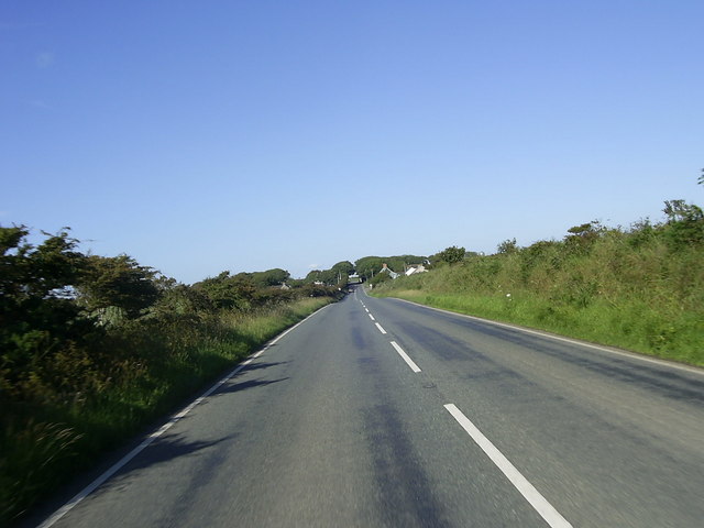
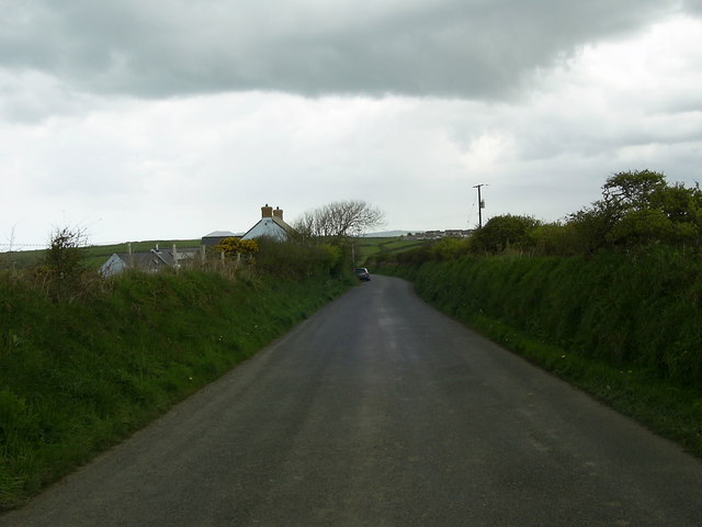
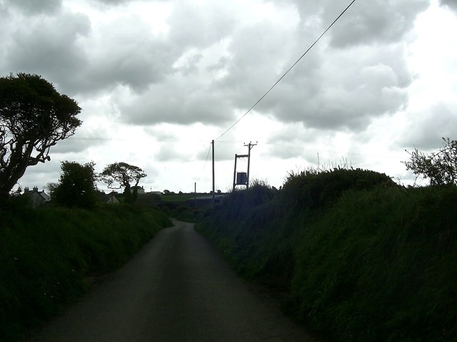
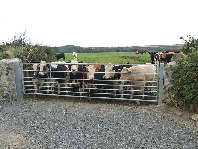
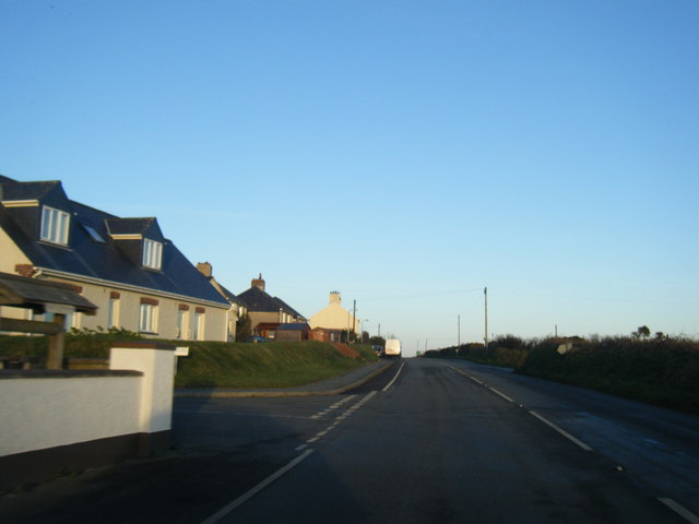
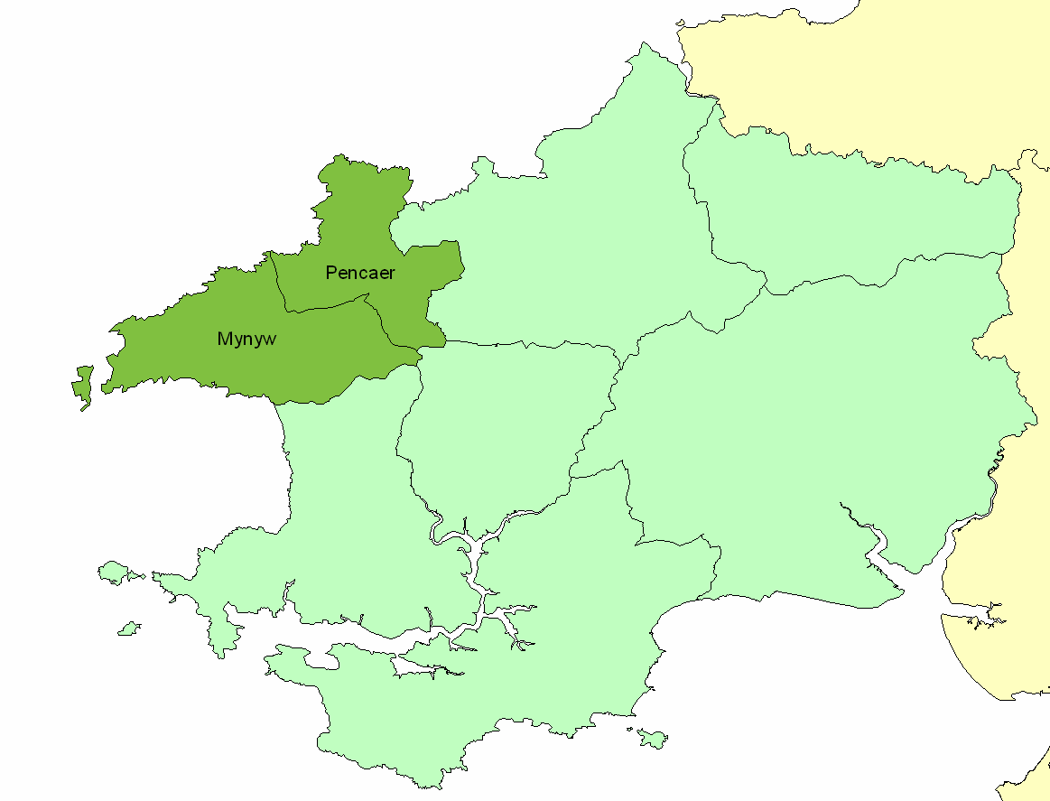
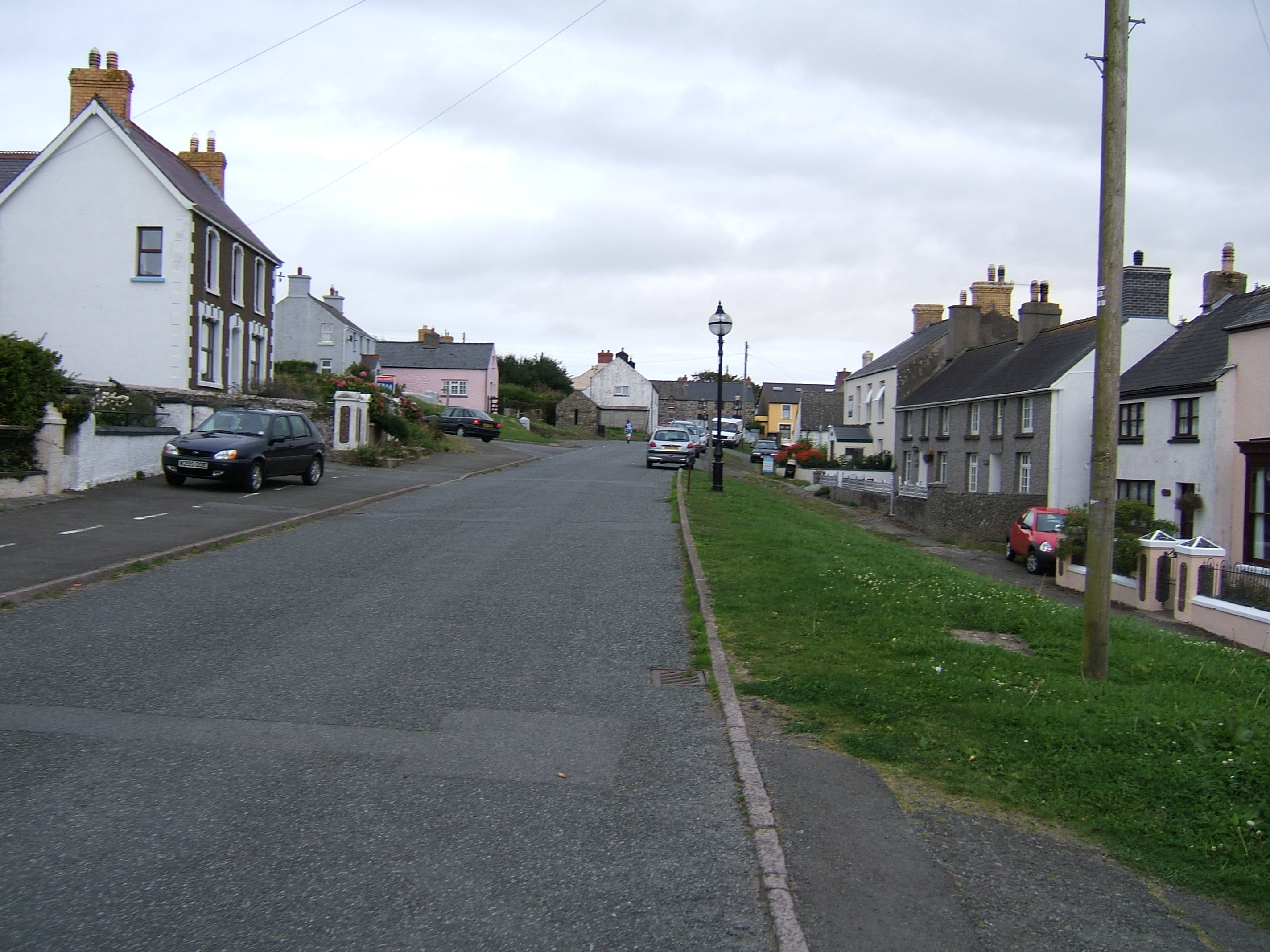
Penparc is a small village located in the county of Pembrokeshire, Wales. Situated near the western coast of the country, it lies approximately 4 miles northeast of the town of Cardigan. The village is nestled within a rural landscape, surrounded by picturesque countryside and rolling hills.

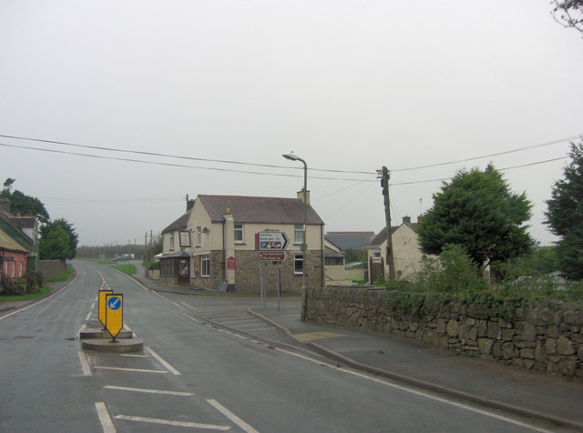
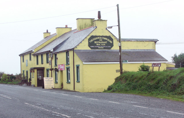
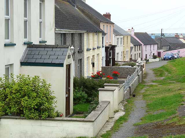
The community of Penparc is home to a modest population, primarily consisting of local residents who enjoy the tranquility and natural beauty of the area. The village is characterized by its charming traditional Welsh architecture, with a scattering of stone-built houses and cottages lining its streets.

Although small in size, Penparc offers a range of amenities to cater to the needs of its residents. These include a local convenience store, a primary school, and a village hall that serves as a hub for community gatherings and events.

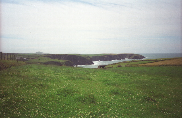
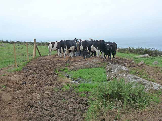
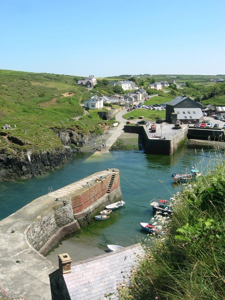
The village benefits from its proximity to the stunning Pembrokeshire coastline, which is renowned for its rugged cliffs, sandy beaches, and clear blue waters. Outdoor enthusiasts and nature lovers are drawn to Penparc for its access to the nearby Pembrokeshire Coast National Park, offering opportunities for hiking, cycling, and wildlife spotting.

Overall, Penparc provides a peaceful and idyllic setting for those seeking a rural lifestyle, allowing residents to enjoy the beauty of the Welsh countryside while still being within reach of nearby towns and amenities.

If you have any feedback on the listing, please let us know in the comments section below.
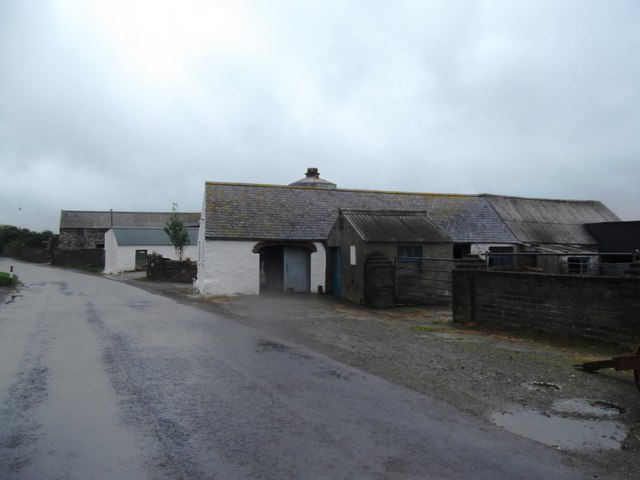
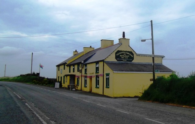
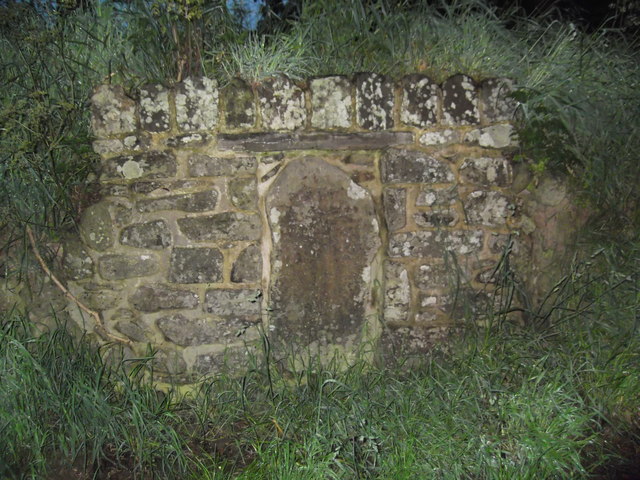
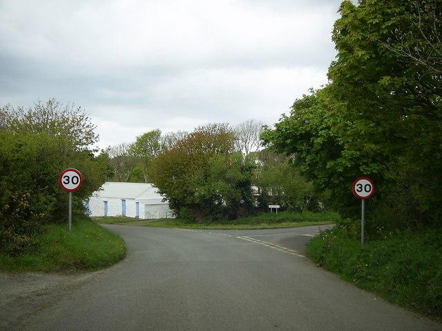
Penparc Images

Images are sourced within 2km of 51.935477/-5.1435477 or Grid Reference SM8431. Thanks to Geograph Open Source API. All images are credited.

Fields near Trefin Looking westward across Aber Draw from the footpath joining Trefin with the coast path.
Fields near Trefin
Looking westward across Aber Draw from the footpath joining Trefin with the coast path.
Trig point equipped with child and something electrical Croes-goch triangulation pillar with Strumble Head in the background
Trig point equipped with child and something electrical
Croes-goch triangulation pillar with Strumble Head in the background
A487 near Croes-Goch Looking towards Mesur-y-dorth.
A487 near Croes-Goch
Looking towards Mesur-y-dorth.
Artramont Arms, Croes-goch This public house took its name from the Le Hunte family's estate in Artramont, County Wexford, Ireland. It dates from the late 19th C and has served the community in various guises over the years.
Artramont Arms, Croes-goch
This public house took its name from the Le Hunte family's estate in Artramont, County Wexford, Ireland. It dates from the late 19th C and has served the community in various guises over the years.
The Square and Compass
The Square & Compass Inn
Mesur y Dorth / Measure of the Loaf Stone Cross An early Christian marker stone inscribed with a cross inside a circle. Tradition has it that St David decreed that in times of poverty the maximum size of a loaf of bread should not exceed the circumference of the circle. Another legend has this as the final refreshment stop for pilgrims heading to the cathedral 6 miles further on.
Mesur y Dorth / Measure of the Loaf Stone Cross
An early Christian marker stone inscribed with a cross inside a circle. Tradition has it that St David decreed that in times of poverty the maximum size of a loaf of bread should not exceed the circumference of the circle. Another legend has this as the final refreshment stop for pilgrims heading to the cathedral 6 miles further on.
A487 Entering Croes-goch
Minor road junction near Trefin The road to the right goes to Abercastle. The road straight ahead leads to Trefin.
Minor road junction near Trefin
The road to the right goes to Abercastle. The road straight ahead leads to Trefin.
Minor road to Trefin This short stretch of road near Awel-For heading for Trefin, is just within the relevant grid square.
Minor road to Trefin
This short stretch of road near Awel-For heading for Trefin, is just within the relevant grid square.
Bend in the road  near Llanon A view of a bend in the country road heading for Llanon Farm from Llanrhian, taken under a gloomy overcast sky.
Bend in the road near Llanon
A view of a bend in the country road heading for Llanon Farm from Llanrhian, taken under a gloomy overcast sky.
Cattle feeding Almost on the cliff edge near Trefin, a contrast with the many coastal views.
Cattle feeding
Almost on the cliff edge near Trefin, a contrast with the many coastal views.
Stone circle above Aber Draw A stone circle of unknown provenance overlooking the sea.
Stone circle above Aber Draw
A stone circle of unknown provenance overlooking the sea.
Cottages in Trefin
Cottages in Trefin
Bullocks at Llanwg Near Trefin.
Bullocks at Llanwg
Near Trefin.
A487 at Croes Goch village boundary
A487 at Penygroes Villas
Show me another place!

Penparc is located at Grid Ref: SM8431 (Lat: 51.935477, Lng: -5.1435477)

Unitary Authority: Pembrokeshire

Police Authority: Dyfed Powys

What 3 Words

///scanning.atom.steepest. Near Llanrhian, Pembrokeshire

Related Wikis

Penparc, Pembrokeshire

Penparc is a village in the community of Llanrhian, Pembrokeshire, Wales. Located near Trefin and Croesgoch, the village also includes the settlement of...

Dewisland

The Hundred of Dewisland (often written "Dewsland") was a hundred in northwest Pembrokeshire, Wales. Formerly the pre-Norman cantref of Pebidiog, it included...

Trefin

Trefin (Welsh standardised:Tre-fin), formerly anglicised as Trevine, is a village in North Pembrokeshire, south-west Wales. The village lies within the...

Llanrhian

Llanrhian is a small village, community and parish in Pembrokeshire in west Wales, near the coast, south of Porthgain village. The community of Llanrhian...

Treffynnon, Pembrokeshire

Treffynnon (Welsh: tref - town + ffynnon - spring, well) is a hamlet of about twenty houses located between St Davids and Fishguard, about a mile inland...

Croes-goch

Croes-goch (also spelled Croesgoch) is a village in North Pembrokeshire, West Wales. It is situated on the A487 between Fishguard and St David's. It lies...
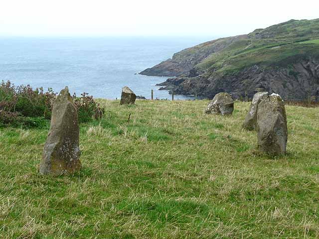
Carreg Samson

Carreg Samson (also known as Carreg Sampson, Samson's Stone, or the Longhouse) is a 5000-year-old Neolithic dolmen located half a mile west of Abercastle...

Porthgain Railway

The Porthgain Railway was a 3 ft (914 mm) narrow gauge industrial railway connecting the Pen Clegyr and St. Bride's quarries with Porthgain harbour. It...

Nearby Amenities

Located within 500m of 51.935477,-5.1435477
Mesur-y-dorth
Place: hamlet
Wikidata: Q20599671
Lat/Long: 51.9326295/-5.1458107
Direction: SSE
Generator Method: photovoltaic
Generator Output Electricity: yes
Generator Solar Modules: 4
Generator Source: solar
Generator Type: solar_photovoltaic_panel
Location: roof
Power: generator
Lat/Long: 51.9326202/-5.144619
Direction: SSE
Generator Method: photovoltaic
Generator Output Electricity: yes
Generator Solar Modules: 11
Generator Source: solar
Generator Type: solar_photovoltaic_panel
Location: roof
Power: generator
Lat/Long: 51.9325751/-5.1445808
Power: pole
Transformer: distribution
Lat/Long: 51.9382709/-5.1392895
Location Transition: yes
Power: pole
Lat/Long: 51.9377401/-5.1377472
Power: pole
Lat/Long: 51.9376756/-5.1391339
Power: pole
Lat/Long: 51.9385091/-5.1475856
Power: pole
Lat/Long: 51.9379055/-5.1475453
Power: pole
Lat/Long: 51.9374408/-5.1465154
Power: pole
Lat/Long: 51.9370043/-5.1455176
Power: pole
Lat/Long: 51.936867/-5.1429963
Power: pole
Lat/Long: 51.9371581/-5.141446
Power: pole
Lat/Long: 51.9373714/-5.1403785
Power: pole
Lat/Long: 51.9317867/-5.1401612
Power: pole
Lat/Long: 51.9320959/-5.1413602
Power: pole
Lat/Long: 51.9324697/-5.1427951
Power: pole
Lat/Long: 51.9330833/-5.1430473
Power: pole
Lat/Long: 51.9347817/-5.1436776
Power: pole
Lat/Long: 51.9355838/-5.1439995
Power: pole
Lat/Long: 51.9365462/-5.1443481
Power: pole
Transformer: distribution
Lat/Long: 51.9345221/-5.140923
Power: pole
Lat/Long: 51.9343269/-5.1422372
Power: pole
Lat/Long: 51.9339432/-5.1433504
Power: pole
Lat/Long: 51.933596/-5.1443991
Power: pole
Lat/Long: 51.9332189/-5.1454398
Power: pole
Lat/Long: 51.9330882/-5.1467085
Power: pole
Lat/Long: 51.9329642/-5.1479557
Power: pole
Lat/Long: 51.9328683/-5.1489723
The data included in this document is from www.openstreetmap.org. The data is made available under ODbL.

Have you been to Penparc?

Leave your review of Penparc below (or comments, questions and feedback).