Y Sgwâr

Settlement in Pembrokeshire

Wales

Y Sgwâr

Fields near Trefin Looking westward across Aber Draw from the footpath joining Trefin with the coast path.
Fields near Trefin Credit: E Gammie

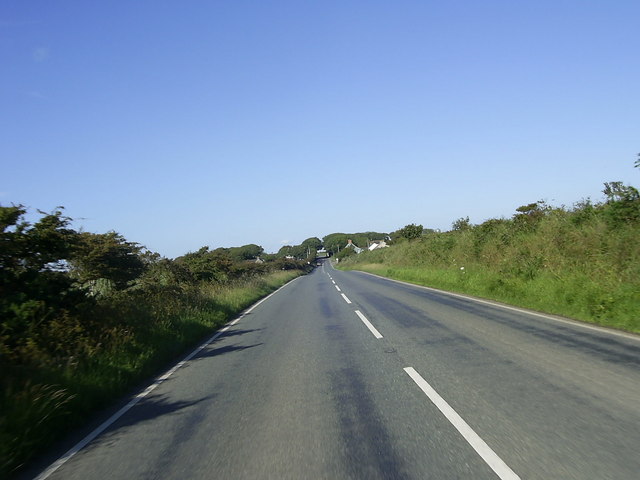
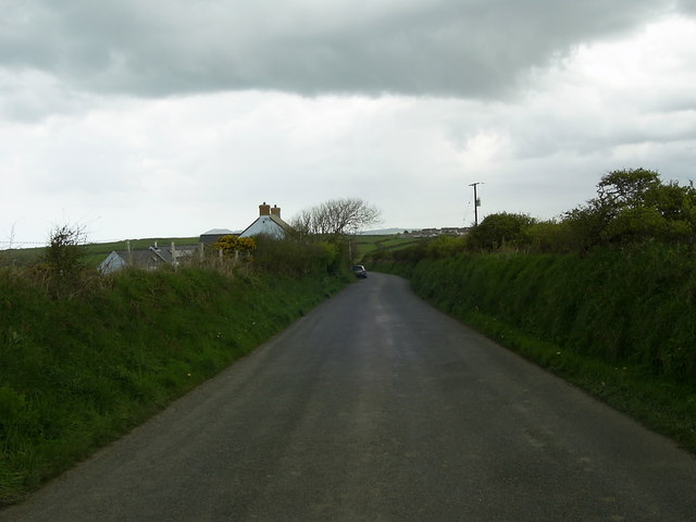
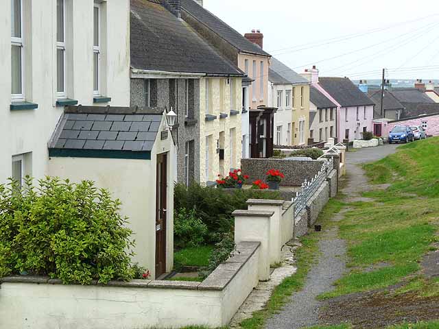
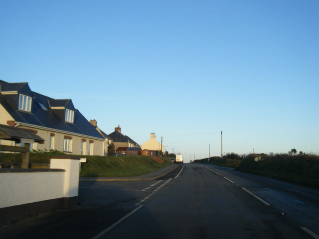
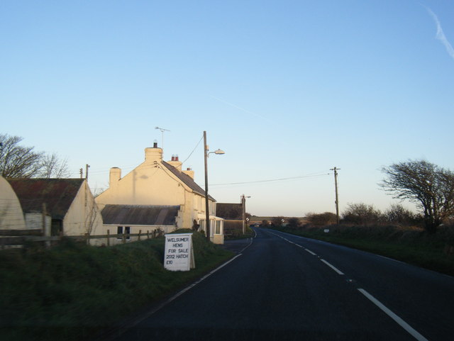
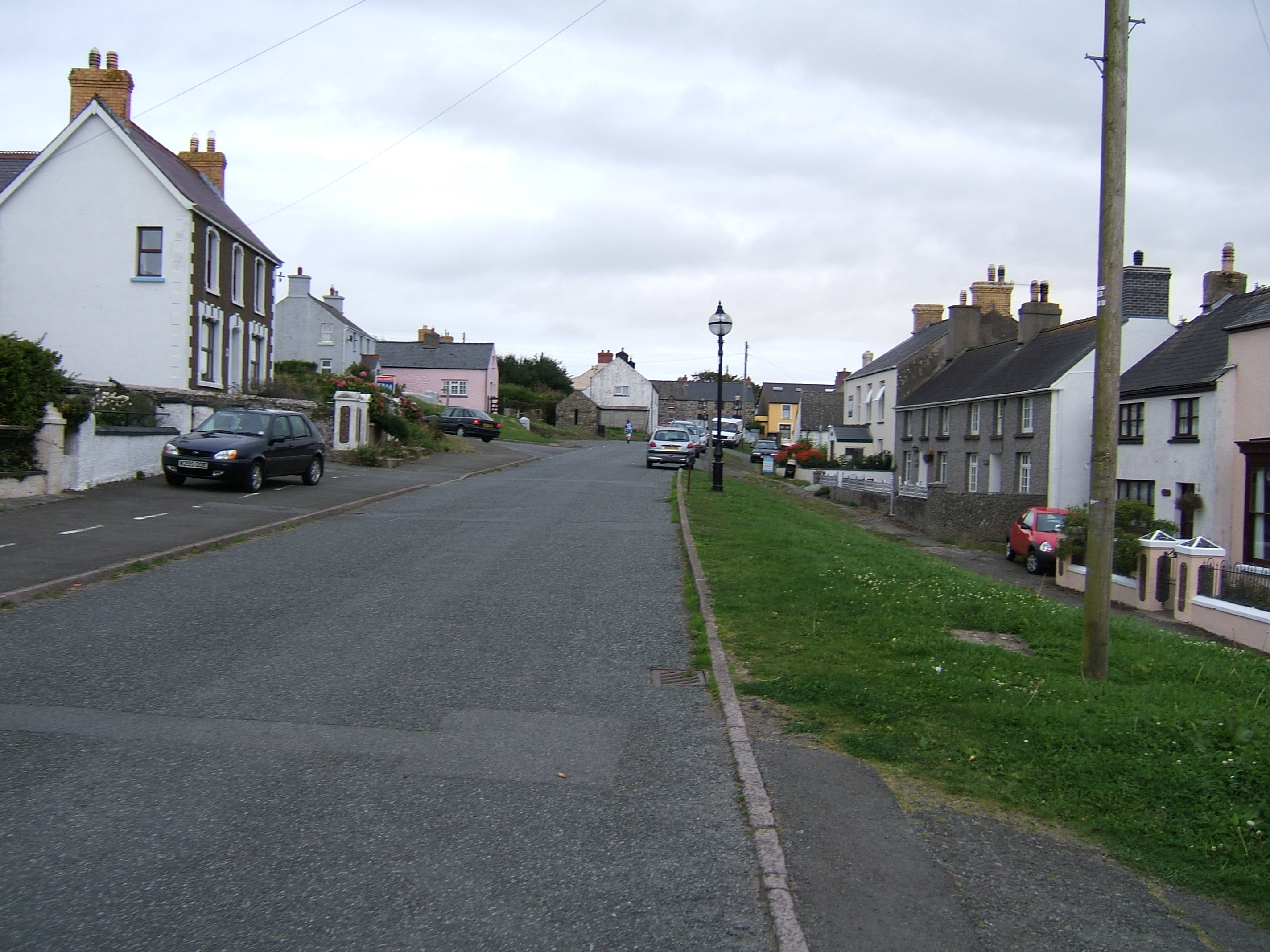
Y Sgwâr is a charming village located in the county of Pembrokeshire, Wales. Situated in the southwestern part of the country, this picturesque village is known for its beautiful coastal scenery and rich history. Y Sgwâr, which translates to "The Square" in English, gets its name from the village's central square, which serves as a focal point for the community.

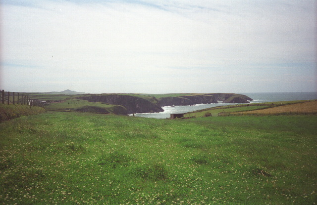
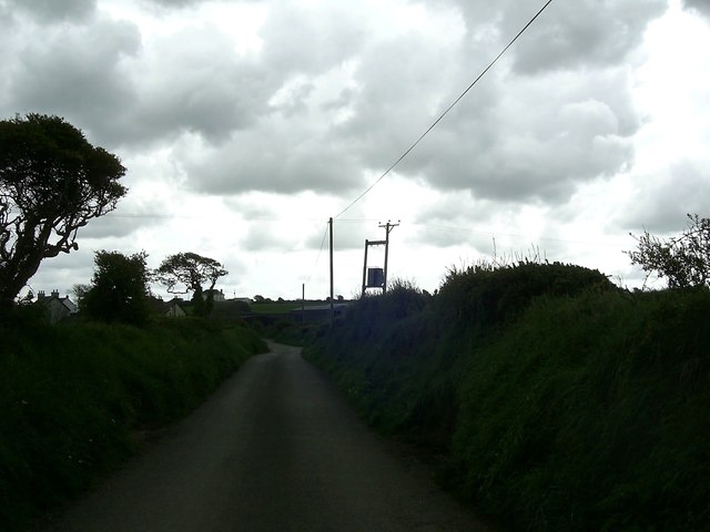
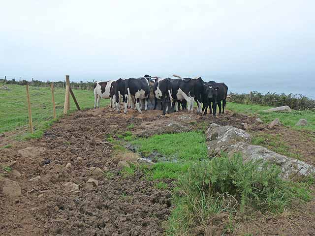
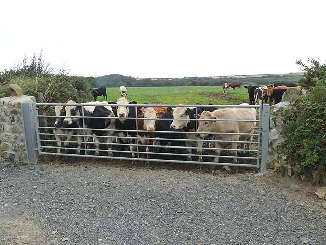
The village is surrounded by stunning natural landscapes, including rolling hills, rugged cliffs, and sandy beaches. The Pembrokeshire Coast National Park, a designated Area of Outstanding Natural Beauty, is just a short distance away, offering residents and visitors ample opportunities for outdoor activities such as hiking, birdwatching, and exploring the coastline.

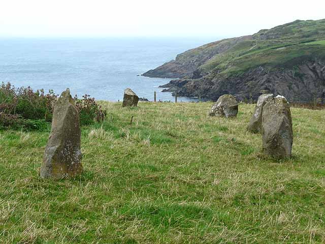
Y Sgwâr is also steeped in history, with numerous historical landmarks dotted throughout the village. The 12th-century St. David's Cathedral, located nearby, is a popular attraction for its stunning architecture and religious significance. Additionally, the ruins of ancient castles, such as Pembroke Castle and Carew Castle, provide a glimpse into the area's medieval past.

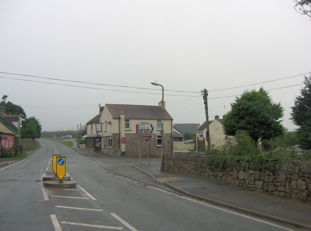
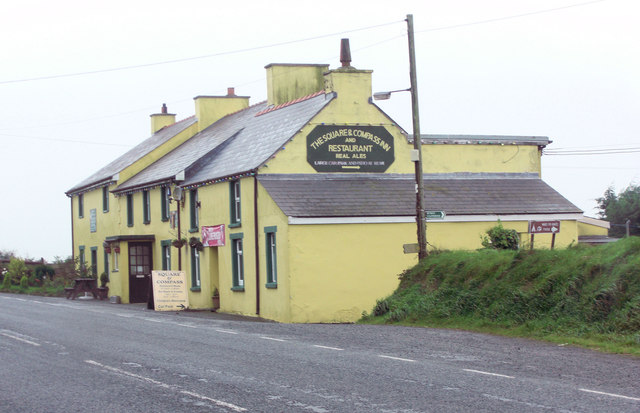
Despite its small size, Y Sgwâr boasts a vibrant community spirit and a range of amenities. The village is home to a handful of shops, cafes, and traditional pubs, where locals and visitors can enjoy a warm welcome and a taste of Welsh hospitality. The annual village fete, held in the square, is a highlight of the social calendar, bringing together residents and tourists for a day of festivities and entertainment.

In summary, Y Sgwâr is a quaint and idyllic village in Pembrokeshire, offering a harmonious blend of natural beauty, historical significance, and community spirit. It is a destination that appeals to those seeking a peaceful retreat amidst Wales' stunning coastal landscapes.

If you have any feedback on the listing, please let us know in the comments section below.
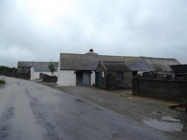
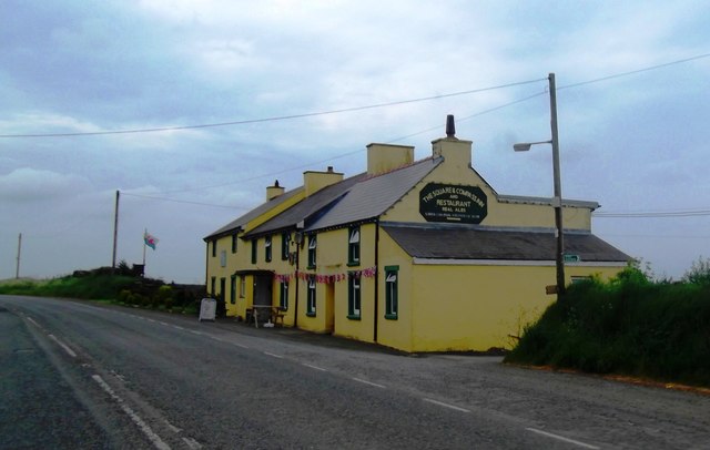
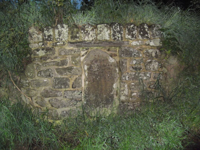
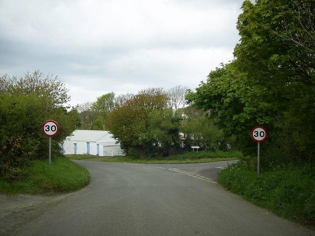
Y Sgwâr Images

Images are sourced within 2km of 51.938232/-5.1360282 or Grid Reference SM8431. Thanks to Geograph Open Source API. All images are credited.

Fields near Trefin Looking westward across Aber Draw from the footpath joining Trefin with the coast path.
Fields near Trefin
Looking westward across Aber Draw from the footpath joining Trefin with the coast path.
A487 near Croes-Goch Looking towards Mesur-y-dorth.
A487 near Croes-Goch
Looking towards Mesur-y-dorth.
Artramont Arms, Croes-goch This public house took its name from the Le Hunte family's estate in Artramont, County Wexford, Ireland. It dates from the late 19th C and has served the community in various guises over the years.
Artramont Arms, Croes-goch
This public house took its name from the Le Hunte family's estate in Artramont, County Wexford, Ireland. It dates from the late 19th C and has served the community in various guises over the years.
The Square and Compass
The Square & Compass Inn
Mesur y Dorth / Measure of the Loaf Stone Cross An early Christian marker stone inscribed with a cross inside a circle. Tradition has it that St David decreed that in times of poverty the maximum size of a loaf of bread should not exceed the circumference of the circle. Another legend has this as the final refreshment stop for pilgrims heading to the cathedral 6 miles further on.
Mesur y Dorth / Measure of the Loaf Stone Cross
An early Christian marker stone inscribed with a cross inside a circle. Tradition has it that St David decreed that in times of poverty the maximum size of a loaf of bread should not exceed the circumference of the circle. Another legend has this as the final refreshment stop for pilgrims heading to the cathedral 6 miles further on.
Minor road junction near Trefin The road to the right goes to Abercastle. The road straight ahead leads to Trefin.
Minor road junction near Trefin
The road to the right goes to Abercastle. The road straight ahead leads to Trefin.
Minor road to Trefin This short stretch of road near Awel-For heading for Trefin, is just within the relevant grid square.
Minor road to Trefin
This short stretch of road near Awel-For heading for Trefin, is just within the relevant grid square.
Bend in the road  near Llanon A view of a bend in the country road heading for Llanon Farm from Llanrhian, taken under a gloomy overcast sky.
Bend in the road near Llanon
A view of a bend in the country road heading for Llanon Farm from Llanrhian, taken under a gloomy overcast sky.
Cattle feeding Almost on the cliff edge near Trefin, a contrast with the many coastal views.
Cattle feeding
Almost on the cliff edge near Trefin, a contrast with the many coastal views.
Stone circle above Aber Draw A stone circle of unknown provenance overlooking the sea.
Stone circle above Aber Draw
A stone circle of unknown provenance overlooking the sea.
Cottages in Trefin
Cottages in Trefin
Bullocks at Llanwg Near Trefin.
Bullocks at Llanwg
Near Trefin.
A487 at Penygroes Villas
A487 at Square and Compass village boundary
A487 at Llwynduris
A487 at Llwynduris
Ordnance Survey Trig Pillar S6391 This can be found in fields between Torbant Farm and Square and Compass.
Ordnance Survey Trig Pillar S6391
This can be found in fields between Torbant Farm and Square and Compass.
Show me another place!

Y Sgwâr is located at Grid Ref: SM8431 (Lat: 51.938232, Lng: -5.1360282)

Unitary Authority: Pembrokeshire

Police Authority: Dyfed Powys

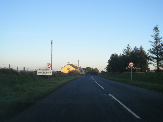
Also known as: Square and Compass

What 3 Words

///tribes.cornfield.aviation. Near Llanrhian, Pembrokeshire

Related Wikis

Penparc, Pembrokeshire

Penparc is a village in the community of Llanrhian, Pembrokeshire, Wales. Located near Trefin and Croesgoch, the village also includes the settlement of...

Dewisland

The Hundred of Dewisland (often written "Dewsland") was a hundred in northwest Pembrokeshire, Wales. Formerly the pre-Norman cantref of Pebidiog, it included...

Trefin

Trefin (Welsh standardised:Tre-fin), formerly anglicised as Trevine, is a village in North Pembrokeshire, south-west Wales. The village lies within the...

Carreg Samson

Carreg Samson (also known as Carreg Sampson, Samson's Stone, or the Longhouse) is a 5000-year-old Neolithic dolmen located half a mile west of Abercastle...

Abercastle

Abercastle (Welsh: Abercastell) is a village in Pembrokeshire, Wales. Abercastle has a working harbour which is managed by Abercastle Boat Owners Association...

Treffynnon, Pembrokeshire

Treffynnon (Welsh: tref - town + ffynnon - spring, well) is a hamlet of about twenty houses located between St Davids and Fishguard, about a mile inland...

Llanrhian

Llanrhian is a small village, community and parish in Pembrokeshire in west Wales, near the coast, south of Porthgain village. The community of Llanrhian...

Croes-goch

Croes-goch (also spelled Croesgoch) is a village in North Pembrokeshire, West Wales. It is situated on the A487 between Fishguard and St David's. It lies...

Nearby Amenities

Located within 500m of 51.938232,-5.1360282
Fuel
Shop: kiosk
Lat/Long: 51.9376015/-5.1305653
Bus Stop
Bus Routes: 413
Operator: Richards Bros.
Lat/Long: 51.9385026/-5.1360326
Penparc
Name Cy: Penparc
Place: hamlet
Lat/Long: 51.9382039/-5.1362468
Direction: W
Generator Method: photovoltaic
Generator Output Electricity: yes
Generator Solar Modules: 10
Generator Source: solar
Generator Type: solar_photovoltaic_panel
Location: roof
Power: generator
Lat/Long: 51.9385851/-5.1355773
Direction: S
Generator Method: photovoltaic
Generator Output Electricity: yes
Generator Solar Modules: 11
Generator Source: solar
Generator Type: solar_photovoltaic_panel
Location: roof
Power: generator
Lat/Long: 51.9378509/-5.1370069
Direction: S
Generator Method: photovoltaic
Generator Output Electricity: yes
Generator Solar Modules: 3
Generator Source: solar
Generator Type: solar_photovoltaic_panel
Location: roof
Power: generator
Lat/Long: 51.9378515/-5.137079
Direction: 145
Generator Method: photovoltaic
Generator Output Electricity: yes
Generator Solar Modules: 16
Generator Source: solar
Generator Type: solar_photovoltaic_panel
Location: roof
Power: generator
Lat/Long: 51.9381693/-5.137193
Power: pole
Lat/Long: 51.9383371/-5.1301512
Power: pole
Lat/Long: 51.9380477/-5.1318571
Power: pole
Lat/Long: 51.9420658/-5.1356149
Power: pole
Lat/Long: 51.9412688/-5.1349926
Power: pole
Lat/Long: 51.9408323/-5.1346305
Power: pole
Lat/Long: 51.9401907/-5.134322
Power: pole
Lat/Long: 51.939488/-5.13396
Power: pole
Lat/Long: 51.9378559/-5.1331325
Power: pole
Lat/Long: 51.9375541/-5.1330091
Power: pole
Lat/Long: 51.9385078/-5.1333927
Power: pole
Transformer: distribution
Lat/Long: 51.9382709/-5.1392895
Location Transition: yes
Power: pole
Lat/Long: 51.9377401/-5.1377472
Power: pole
Lat/Long: 51.9376756/-5.1391339
Power: pole
Lat/Long: 51.9371581/-5.141446
Power: pole
Lat/Long: 51.9373714/-5.1403785
Communication Mobile Phone: yes
Man Made: mast
Tower Type: communication
Lat/Long: 51.9360854/-5.1314292
The data included in this document is from www.openstreetmap.org. The data is made available under ODbL.

Have you been to Y Sgwâr?

Leave your review of Y Sgwâr below (or comments, questions and feedback).