Birchall

Settlement in Herefordshire

England

Birchall

St Andrew's Church, Pixley Much of the church building is thought to date from the thirteenth century. It is built of local red sandstone on a mound which until fairly recently was surrounded by a moat. The church was extensively restored in 1865. Additional repairs were carried out in the 1980s and again in 2005 when the roof and Victorian turret were renovated.
St Andrew's Church, Pixley Credit: Eirian Evans

Birchall is a small rural village located in the county of Herefordshire, England. Situated in the picturesque Wye Valley, it is surrounded by rolling hills and lush green countryside. The village is part of the larger civil parish of St. Devereux and is approximately 10 miles southwest of the city of Hereford.

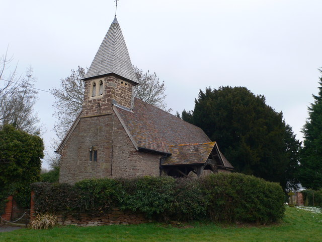
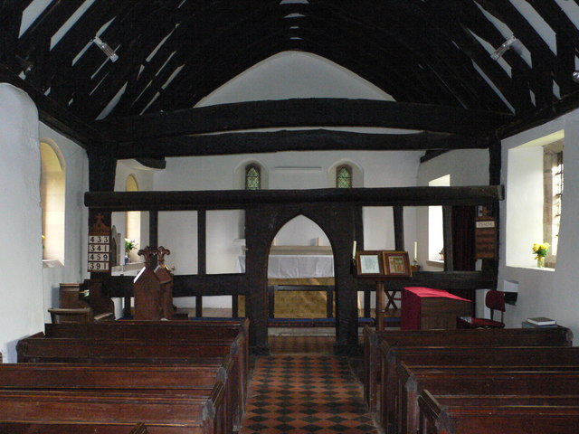
Birchall is known for its tranquil and idyllic setting, offering residents and visitors a peaceful retreat from the hustle and bustle of city life. The village is characterized by its charming traditional cottages, many of which date back several centuries, and the beautiful St. Devereux Church, which stands as a prominent landmark.

The community in Birchall is tight-knit and friendly, with a population of around 200 residents. The village has a strong sense of community spirit, evident through various local events and activities throughout the year. The residents take pride in maintaining the village's natural beauty and heritage.

While Birchall itself may be small, it benefits from its proximity to nearby amenities. The city of Hereford offers a range of services, including shopping centers, restaurants, and healthcare facilities. The surrounding area is also rich in natural attractions, with numerous walking trails, nature reserves, and the stunning River Wye, which is popular for fishing and water sports.

Overall, Birchall offers a peaceful and picturesque setting, making it an ideal place for those seeking a rural lifestyle with easy access to nearby amenities.

If you have any feedback on the listing, please let us know in the comments section below.
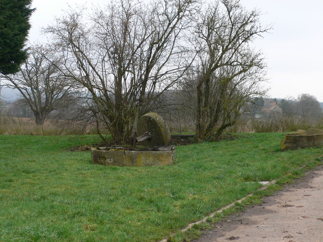
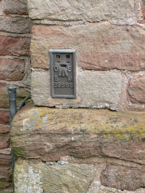
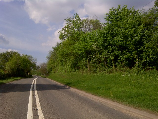
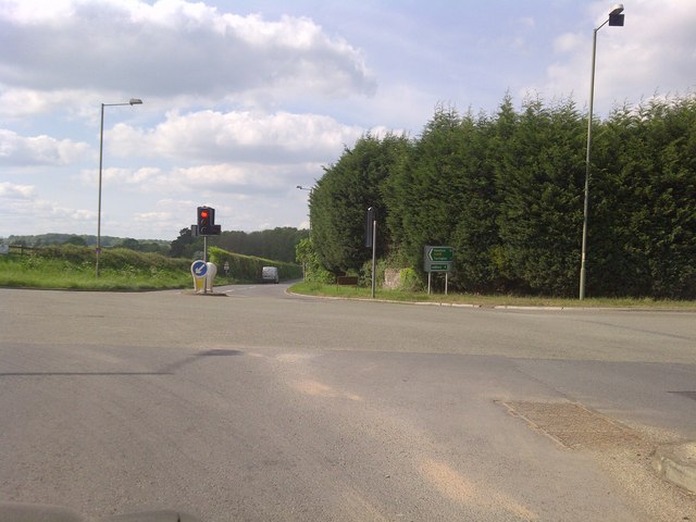
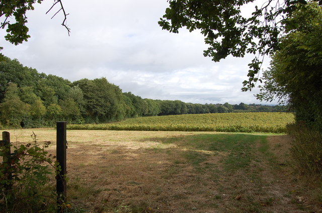
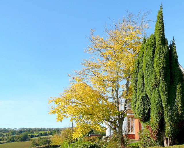
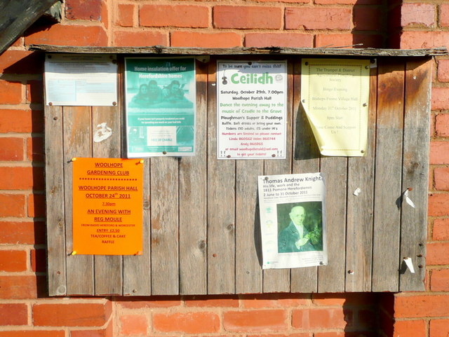
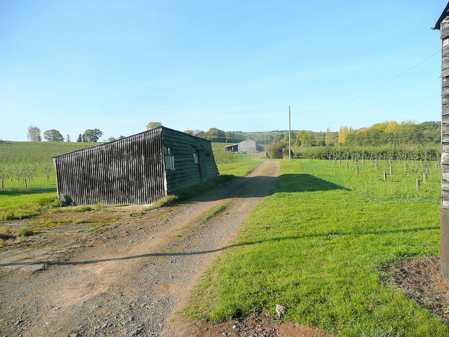
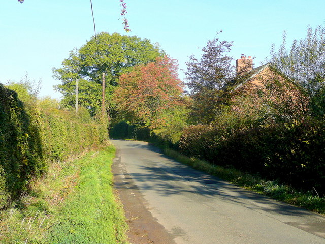
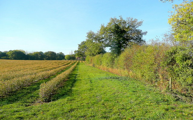
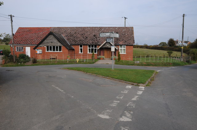
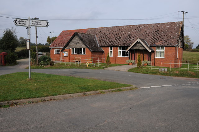
Birchall Images

Images are sourced within 2km of 52.042431/-2.5084292 or Grid Reference SO6538. Thanks to Geograph Open Source API. All images are credited.

St Andrew's Church, Pixley Much of the church building is thought to date from the thirteenth century. It is built of local red sandstone on a mound which until fairly recently was surrounded by a moat. The church was extensively restored in 1865. Additional repairs were carried out in the 1980s and again in 2005 when the roof and Victorian turret were renovated.
St Andrew's Church, Pixley
Much of the church building is thought to date from the thirteenth century. It is built of local red sandstone on a mound which until fairly recently was surrounded by a moat. The church was extensively restored in 1865. Additional repairs were carried out in the 1980s and again in 2005 when the roof and Victorian turret were renovated.
Relics of a cider mill An old millstone from the cider mill which used to be at Pixley Court Farm.
Relics of a cider mill
An old millstone from the cider mill which used to be at Pixley Court Farm.
Benchmark on Pixley Church Flush bracket S9688 on the western face of St Andrew's Church.
Benchmark on Pixley Church
Flush bracket S9688 on the western face of St Andrew's Church.
Inside St Andrew's Church, Pixley The little white-washed nave is divided from the white-washed chancel by a screen, its entrance arch (only six feet high) made of naturally curved timbers from some great tree. The screen has three bays and the cross-beam has a patch of neat carving; So have the roof beams which match these venerable timbers. There are no iron nails in the screen, which is fastened together with pegs.
Inside St Andrew's Church, Pixley
The little white-washed nave is divided from the white-washed chancel by a screen, its entrance arch (only six feet high) made of naturally curved timbers from some great tree. The screen has three bays and the cross-beam has a patch of neat carving; So have the roof beams which match these venerable timbers. There are no iron nails in the screen, which is fastened together with pegs.
A4172 at Pixley
A4172 at Pixley
Trumpet Crossroads
Trumpet Crossroads
Land near Birchall
Land near Birchall
Oast cowl at the White House A typical Herefordshire pointed cowl
Oast cowl at the White House
A typical Herefordshire pointed cowl
Cottage at Putley Common Compare with <a href="https://www.geograph.org.uk/photo/55999">SO6338 : Cottage at Putley Common</a>
Cottage at Putley Common
Autumn colour A laburnum and conifer by The Fosbury against a clear October sky.
Autumn colour
A laburnum and conifer by The Fosbury against a clear October sky.
That should read Pool End Someone has had fun scraping the 'L' off this country sign.
That should read Pool End
Someone has had fun scraping the 'L' off this country sign.
Village notice board On the wall of Putley Green village hall.
Village notice board
On the wall of Putley Green village hall.
Fruit growing at Birchall The predominant crop here is cider apples.
Fruit growing at Birchall
The predominant crop here is cider apples.
Lane at Birchall Looking north towards Poolend.
Lane at Birchall
Looking north towards Poolend.
Fruit crop by Birchall Lane The rows are of blackcurrants, probably for processing.
Fruit crop by Birchall Lane
The rows are of blackcurrants, probably for processing.
Putley Village Hall Putley Village Hall at Putley Green, when I last passed through here this was also a Post Office though it now appears to have closed.
Putley Village Hall
Putley Village Hall at Putley Green, when I last passed through here this was also a Post Office though it now appears to have closed.
Restored barn at Aylton This barn at Aylton Court has undergone a major restoration since I last visited in 2005. <a href="https://www.geograph.org.uk/photo/71425">SO6537 : Old barn at Court Farm, Aylton</a>
Restored barn at Aylton
This barn at Aylton Court has undergone a major restoration since I last visited in 2005. SO6537 : Old barn at Court Farm, Aylton
Show me another place!

Birchall is located at Grid Ref: SO6538 (Lat: 52.042431, Lng: -2.5084292)

Unitary Authority: County of Herefordshire

Police Authority: West Mercia

What 3 Words

///framework.winning.toast. Near Ledbury, Herefordshire

Nearby Locations

Birchall

Related Wikis

Pixley, Herefordshire

Pixley is a village and civil parish in Herefordshire, England. The population of the civil parish at the 2011 census was 258. The village consists of...

Aylton

Aylton is a village in eastern Herefordshire, England. It is 5.5 km (3.4 mi) west of Ledbury. The population of this parish at the 2011 Census was 144...

Trumpet, Herefordshire

Trumpet or The Trumpet is a village in Herefordshire, England. The village is named after the timber-framed Trumpet Inn. The inn is located at a major...

Putley

Putley is a village and civil parish 8 miles (13 km) east of Hereford, in the county of Herefordshire, England. In 2011 the parish had a population of...

Nearby Amenities

Located within 500m of 52.042431,-2.5084292
Birchall
Place: hamlet
Source: OS_OpenData_StreetView
Lat/Long: 52.0427646/-2.50808
Generator Method: photovoltaic
Generator Output Electricity: yes
Generator Source: solar
Generator Type: solar_photovoltaic_panel
Location: roof
Power: generator
Lat/Long: 52.0401955/-2.5089531
Generator Method: photovoltaic
Generator Output Electricity: yes
Generator Source: solar
Generator Type: solar_photovoltaic_panel
Location: roof
Power: generator
Lat/Long: 52.0420139/-2.5138119
Generator Method: photovoltaic
Generator Output Electricity: yes
Generator Source: solar
Generator Type: solar_photovoltaic_panel
Location: roof
Power: generator
Lat/Long: 52.0437594/-2.5118297
Generator Method: photovoltaic
Generator Output Electricity: yes
Generator Source: solar
Generator Type: solar_photovoltaic_panel
Location: roof
Power: generator
Lat/Long: 52.0440052/-2.5084233
Generator Method: photovoltaic
Generator Output Electricity: yes
Generator Source: solar
Generator Type: solar_photovoltaic_panel
Location: roof
Power: generator
Lat/Long: 52.0440811/-2.5084475
Generator Method: photovoltaic
Generator Output Electricity: yes
Generator Source: solar
Generator Type: solar_photovoltaic_panel
Location: roof
Power: generator
Lat/Long: 52.0442064/-2.5085092
Generator Method: photovoltaic
Generator Output Electricity: yes
Generator Source: solar
Generator Type: solar_photovoltaic_panel
Location: roof
Power: generator
Lat/Long: 52.0442922/-2.5085735
Generator Method: photovoltaic
Generator Output Electricity: yes
Generator Source: solar
Generator Type: solar_photovoltaic_panel
Location: roof
Power: generator
Lat/Long: 52.0443962/-2.5086325
Generator Method: photovoltaic
Generator Output Electricity: yes
Generator Source: solar
Generator Type: solar_photovoltaic_panel
Location: roof
Power: generator
Lat/Long: 52.0444671/-2.5086835
Generator Method: photovoltaic
Generator Output Electricity: yes
Generator Source: solar
Generator Type: solar_photovoltaic_panel
Location: roof
Power: generator
Lat/Long: 52.0445661/-2.5088337
Power: pole
Lat/Long: 52.0388784/-2.505599
Power: pole
Lat/Long: 52.0389073/-2.5081377
Power: pole
Lat/Long: 52.0386924/-2.5117204
Power: pole
Lat/Long: 52.0389452/-2.5104953
Hill Field
Power: pole
Transformer: distribution
Voltage Primary: 11000
Lat/Long: 52.038923/-2.509224
Power: pole
Lat/Long: 52.0388949/-2.5070407
Power: pole
Lat/Long: 52.038866/-2.5043584
Power: pole
Lat/Long: 52.0431349/-2.5155365
The Brainge
Power: pole
Transformer: distribution
Voltage Primary: 11000
Lat/Long: 52.0420445/-2.5148056
Power: pole
Lat/Long: 52.0425984/-2.5148231
Power: pole
Lat/Long: 52.0431382/-2.5148338
Power: pole
Lat/Long: 52.0431514/-2.513714
Power: pole
Lat/Long: 52.0460565/-2.5116782
Copes Pool
Power: pole
Transformer: distribution
Voltage Primary: 11000
Lat/Long: 52.0454833/-2.5111498
Power: pole
Lat/Long: 52.0455563/-2.5115508
Power: pole
Lat/Long: 52.0459617/-2.5117647
Power: pole
Lat/Long: 52.0451369/-2.5125754
Power: pole
Lat/Long: 52.0444687/-2.5125606
The Sladd Fruit Farm
Power: pole
Transformer: distribution
Voltage Primary: 11000
Lat/Long: 52.0437998/-2.5125848
Old Castle
Power: pole
Transformer: distribution
Voltage Primary: 11000
Lat/Long: 52.0434067/-2.508192
Power: pole
Lat/Long: 52.0432925/-2.5085373
Power: pole
Lat/Long: 52.0432801/-2.5093366
Power: pole
Lat/Long: 52.0432628/-2.5101279
The Sladd
Power: pole
Transformer: distribution
Voltage Primary: 11000
Lat/Long: 52.0422754/-2.510899
Power: pole
Lat/Long: 52.0427357/-2.5109044
Power: pole
Lat/Long: 52.0432422/-2.5109211
Power: pole
Lat/Long: 52.043203/-2.5116936
Power: pole
Lat/Long: 52.0431861/-2.5125821
Power: pole
Lat/Long: 52.0424049/-2.5125486
Power: pole
Lat/Long: 52.0417042/-2.5125124
Power: pole
Lat/Long: 52.0409677/-2.5122545
Power: pole
Lat/Long: 52.0401593/-2.5119716
Power: pole
Lat/Long: 52.03971/-2.5118143
Power: pole
Lat/Long: 52.0390814/-2.5123246
The data included in this document is from www.openstreetmap.org. The data is made available under ODbL.

Have you been to Birchall?

Leave your review of Birchall below (or comments, questions and feedback).