Penbol
Settlement in Anglesey
Wales
Penbol

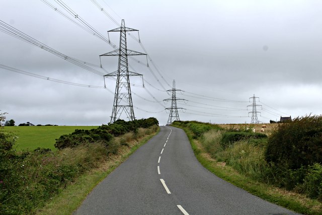
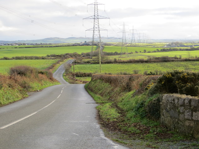
Penbol is a small coastal village located on the island of Anglesey, off the northwest coast of Wales. Situated approximately 4 miles south of Holyhead, Penbol is known for its picturesque beauty and tranquil surroundings.
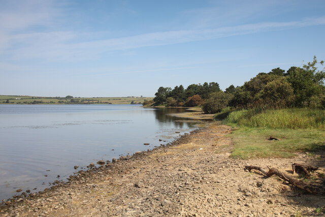
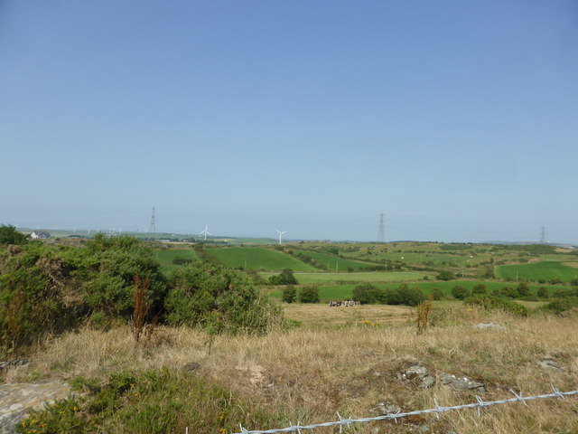
The village is nestled between rolling green hills and offers breathtaking views of the Irish Sea. Its unspoiled sandy beaches and rocky coves are a haven for nature enthusiasts and beachgoers alike. The area is abundant in wildlife, with various bird species, seals, and even dolphins often spotted along the coastline.
Penbol is a popular destination for outdoor activities such as hiking, cycling, and fishing. The nearby Anglesey Coastal Path provides stunning walking trails that showcase the area's natural beauty. The village also boasts a small harbor, which serves as a base for fishing boats and pleasure craft.
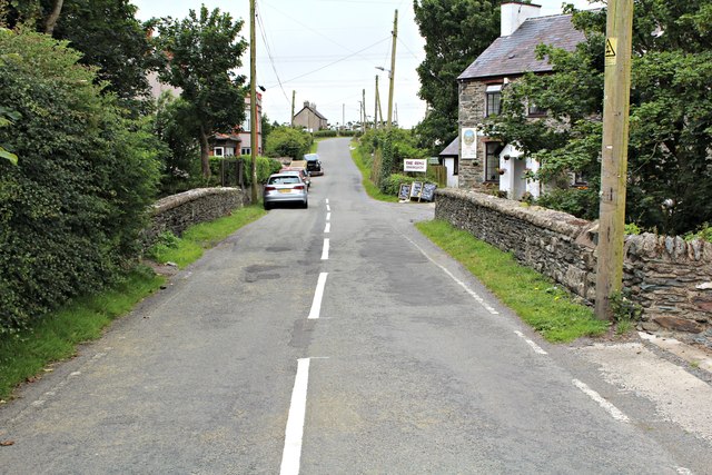
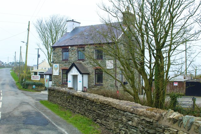
Despite its small size, Penbol offers essential amenities to both residents and visitors. There are a few local shops and a traditional pub where visitors can sample local cuisine and beverages. The village also has a community center that hosts various events and activities throughout the year.
For those seeking cultural experiences, Penbol is within easy reach of several historical sites, including the ancient burial chamber at Barclodiad y Gawres and the imposing South Stack Lighthouse. Additionally, the bustling town of Holyhead is just a short drive away, offering a wider range of amenities, shops, and restaurants.
Overall, Penbol is a charming and idyllic village that offers a peaceful retreat and a gateway to explore the natural wonders of Anglesey.
If you have any feedback on the listing, please let us know in the comments section below.
Penbol Images
Images are sourced within 2km of 53.365305/-4.396658 or Grid Reference SH4088. Thanks to Geograph Open Source API. All images are credited.


Penbol is located at Grid Ref: SH4088 (Lat: 53.365305, Lng: -4.396658)
Unitary Authority: Isle of Anglesey
Police Authority: North Wales
What 3 Words
///crunches.nurtures.emperor. Near Llanerchymedd, Isle of Anglesey
Nearby Locations
Related Wikis

Penbol
Penbol is a hamlet in the community of Rhosybol, Anglesey, Wales, which is 140.1 miles (225.5 km) from Cardiff and 221.1 miles (355.7 km) from London...
Rhosgoch
Rhosgoch (; meaning: Red Moor) is a small village in the north of the island of Anglesey, Wales, about 3.5 miles (5.6 km) to the south-west of Amlwch....
Carmel Head Thrust
The Carmel Head Thrust is a geological fault on Carmel Head in north Anglesey, Wales, where rocks of the Precambrian Mona Complex are thrust over Lower...

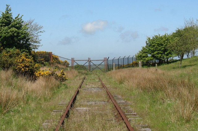
Rhosgoch railway station
Rhosgoch railway station was situated on the Anglesey Central Railway line from Gaerwen to Amlwch. It had a small platform on the Down (west) side of the...
Have you been to Penbol?
Leave your review of Penbol below (or comments, questions and feedback).