Parr Bridge
Settlement in Lancashire
England
Parr Bridge

Parr Bridge is a small area located in the borough of Lancashire, England. Situated in the northwest region of the country, Parr Bridge is part of the wider urban area of St Helens, which lies approximately 11 miles east of Liverpool. It can be found near the junction of the A570 and A58 roads, providing convenient access to the surrounding areas.
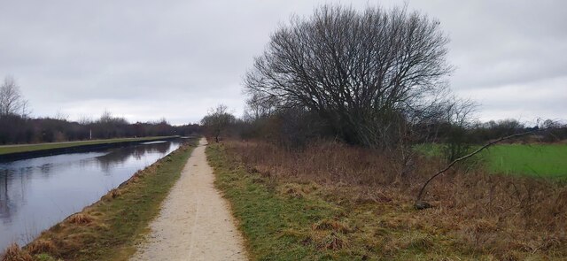
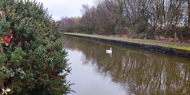
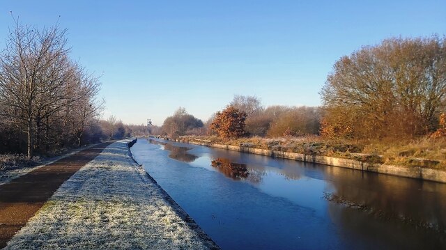
The most prominent feature of Parr Bridge is the bridge itself, which spans across the Sankey Canal. This iconic structure serves as a key transportation link, connecting the communities on either side of the canal. Parr Bridge has historical significance, as it was constructed in the late 18th century during the Industrial Revolution, when canals were a vital part of the transportation network.
In addition to the bridge, Parr Bridge is primarily a residential area, featuring a mix of housing developments, including terraced houses and modern apartment buildings. The community is home to a diverse population, with a range of amenities and services available to residents. Local shops, schools, and parks are within walking distance, providing convenience and recreational opportunities.
The nearby town of St Helens offers further amenities, including shopping centers, restaurants, and entertainment venues. The area benefits from good transport links, with regular bus services and nearby railway stations providing access to other towns and cities in the region.
Overall, Parr Bridge is a small but vibrant area in Lancashire, providing a peaceful residential environment with convenient access to amenities and transportation links.
If you have any feedback on the listing, please let us know in the comments section below.
Parr Bridge Images
Images are sourced within 2km of 53.5103/-2.430476 or Grid Reference SD7101. Thanks to Geograph Open Source API. All images are credited.


Parr Bridge is located at Grid Ref: SD7101 (Lat: 53.5103, Lng: -2.430476)
Unitary Authority: Wigan
Police Authority: Greater Manchester
What 3 Words
///rainy.merit.create. Near Walkden, Manchester
Nearby Locations
Related Wikis
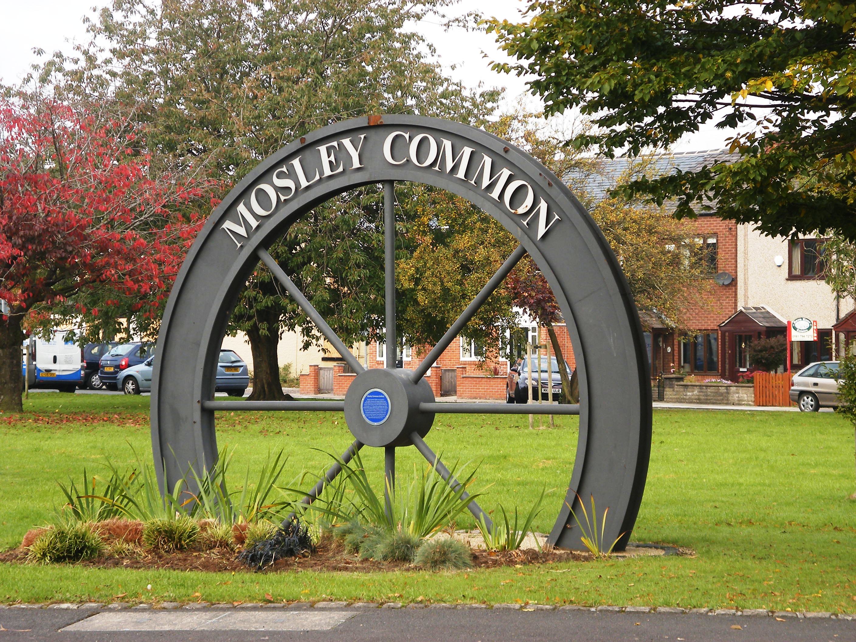
Mosley Common
Mosley Common is a suburb of Tyldesley at the far-eastern edge of the Metropolitan Borough of Wigan, in Greater Manchester, England. Historically part...
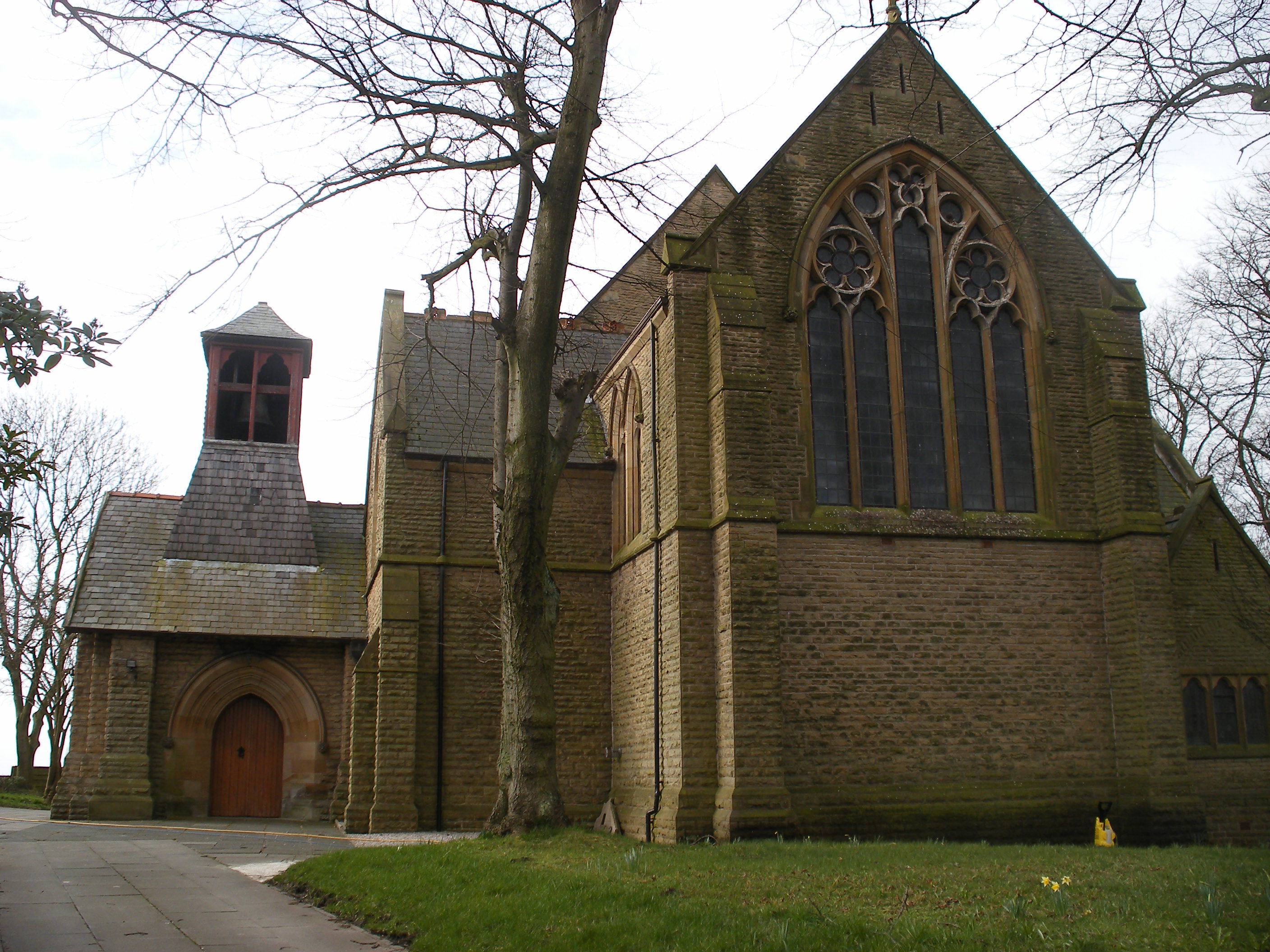
St John's Church, Mosley Common
St John's Church is an Anglican church on Mosley Common Road, Mosley Common, Greater Manchester, England. It is an active church built in 1886 and part...

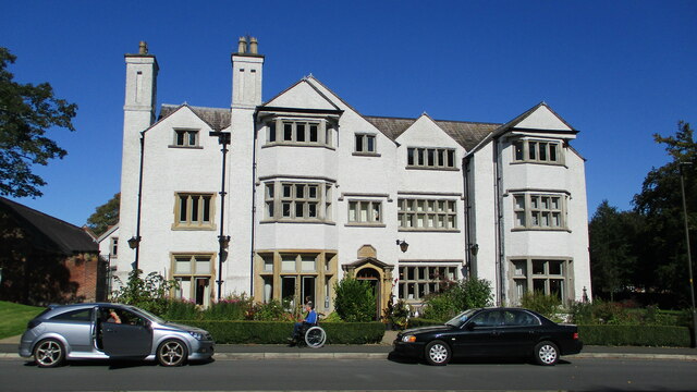
Chaddock Hall
Chaddock Hall was an ancient hall on Chaddock Lane in Tyldesley, Greater Manchester, England. It was designated a Grade II listed building in 1966. It...

Garrett Hall
Garrett Hall or The Garrett is a former manor house and now a grade II listed farmhouse in Tyldesley, Greater Manchester, England. The hall was designated...
Nearby Amenities
Located within 500m of 53.5103,-2.430476Have you been to Parr Bridge?
Leave your review of Parr Bridge below (or comments, questions and feedback).