Parr
Settlement in Lancashire
England
Parr
Parr is a small town located in the borough of St Helens, within the county of Lancashire, England. Situated approximately 7 miles east of the city of Liverpool, Parr is nestled in the heart of the traditional industrial heartland of north-west England.
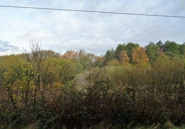
With a population of around 15,000, Parr has a rich history dating back to the Middle Ages. Originally a farming community, the town experienced significant growth during the Industrial Revolution, with the establishment of coal mining and manufacturing industries. Today, remnants of this industrial past can still be seen in the form of old factories and miners' cottages.
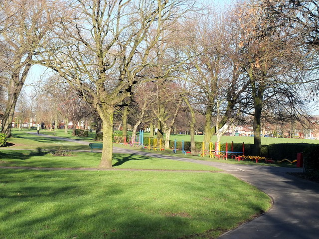
Despite its industrial heritage, Parr has undergone considerable transformation in recent decades. The town now boasts a mix of residential areas, commercial developments, and green spaces. The opening of the St Helens Linkway in the 1980s improved transport links to neighboring towns and cities, contributing to Parr's accessibility.
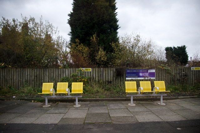
Parr is home to several schools, healthcare facilities, and a range of local amenities including shops, pubs, and community centers. The town also hosts various cultural and sporting events throughout the year, attracting locals and visitors alike. Parr also benefits from its proximity to larger urban centers, with opportunities for employment, education, and leisure pursuits within easy reach.
Overall, Parr is a vibrant and evolving community that combines its historical roots with modern amenities, making it an attractive place to live, work, and visit in the Lancashire region.
If you have any feedback on the listing, please let us know in the comments section below.
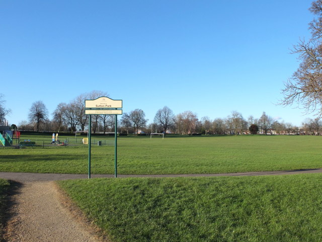
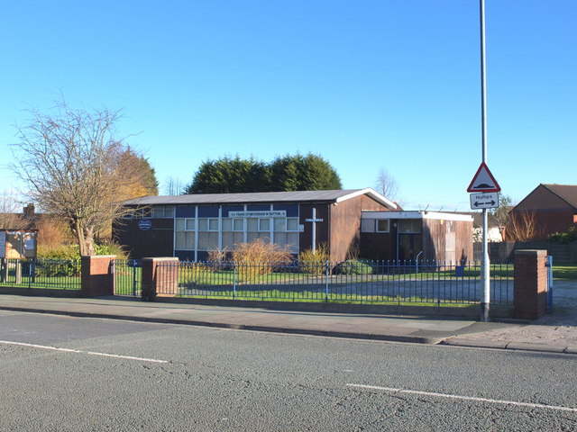
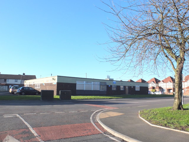
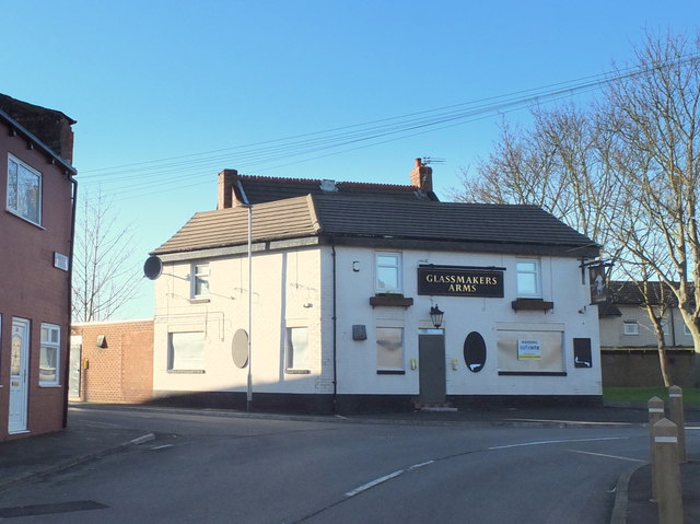
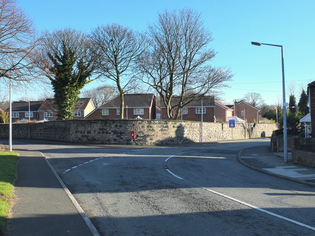
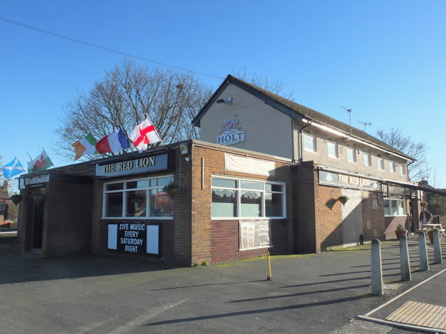
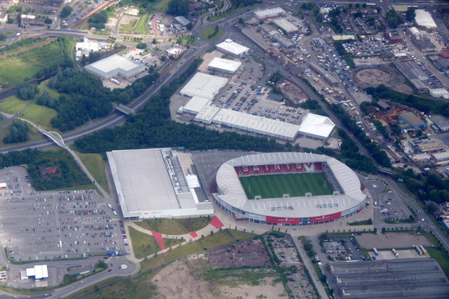
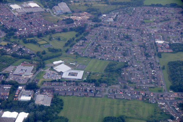
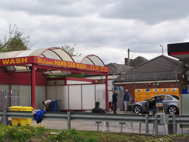
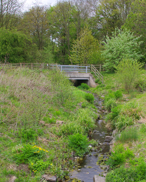
Parr Images
Images are sourced within 2km of 53.446544/-2.701605 or Grid Reference SJ5394. Thanks to Geograph Open Source API. All images are credited.
Parr is located at Grid Ref: SJ5394 (Lat: 53.446544, Lng: -2.701605)
Unitary Authority: St. Helens
Police Authority: Merseyside
What 3 Words
///sponsors.speak.paddocks. Near St Helens, Merseyside
Related Wikis

St Cuthbert's Catholic High School
St Cuthbert's Catholic High School is a Roman Catholic mixed secondary school situated in St Helens, Merseyside, England. == History == Built-in 1957,...
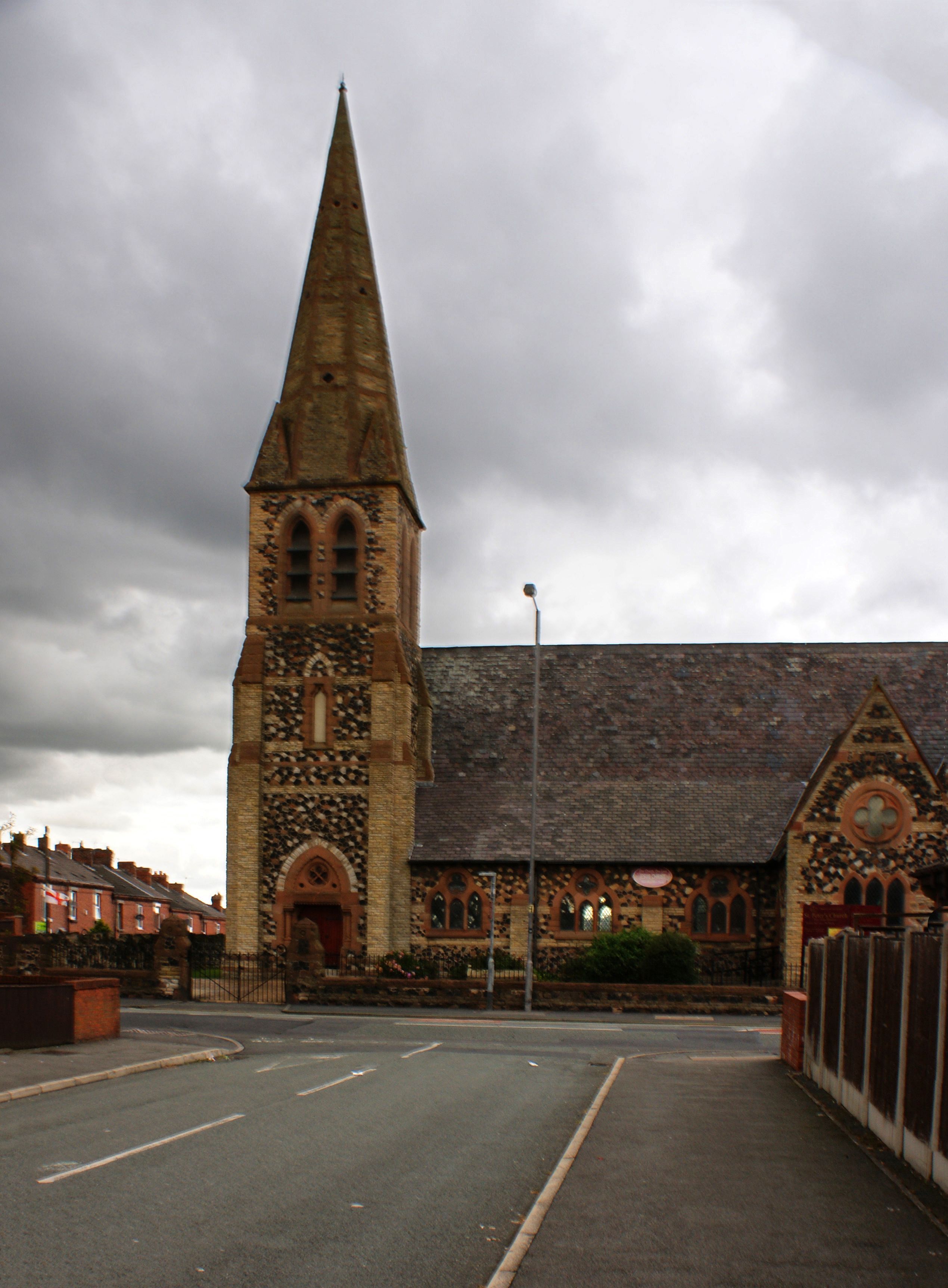
St Peter's Church, Parr
St Peter's Church, Parr, is in Broad Oak Road, Parr, St Helens, Merseyside, England. It is an active Anglican parish church in the deanery of St Helens...
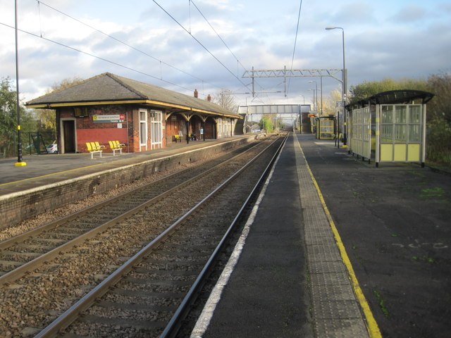
Sutton Oak railway station
Sutton Oak railway station served the southern area of St Helens, England. The station was on the central section of the St Helens and Runcorn Gap Railway...
Parr, St Helens
Parr is a ward and historic township, located towards the eastern side of the town of St. Helens, England. The population of the ward at the 2011 census...
Nearby Amenities
Located within 500m of 53.446544,-2.701605Have you been to Parr?
Leave your review of Parr below (or comments, questions and feedback).