Binchester
Settlement in Durham
England
Binchester

Binchester, also known as Vinovia, is an ancient Roman fort and settlement located in County Durham, England. Situated near the village of Bishop Auckland, Binchester is an important archaeological site that offers valuable insights into Roman life and occupation in the region.
The fort was built around AD 80 and served as a strategic military outpost on the Roman Empire's northern frontier, known as the Hadrian's Wall. Covering an area of approximately 4.5 acres, Binchester was constructed in a typical Roman rectangular shape and housed a garrison of around 800 soldiers. The fort's defensive walls, which are still visible today, were made of stone and surrounded by a deep ditch.
Excavations at Binchester have revealed various structures within the fort, including barracks, granaries, a headquarters building (principia), and a commandant's house. The remains of a substantial bathhouse complex, considered one of the most impressive in the Roman Empire, have also been discovered. This complex featured hot and cold rooms, a hypocaust heating system, and intricate mosaics.
In addition to the fort, Binchester had an associated civilian settlement or vicus. The vicus provided services and amenities to the soldiers and their families, such as shops, inns, and brothels. Evidence of this civilian settlement can be seen in the form of building foundations, pottery fragments, and personal artifacts.
Today, Binchester is managed by Durham County Council and is open to the public. Visitors can explore the excavated remains, walk along the fort's defensive walls, and learn about the site's history through informative displays. Binchester offers a unique opportunity to step back in time and discover the fascinating Roman presence in Durham.
If you have any feedback on the listing, please let us know in the comments section below.
Binchester Images
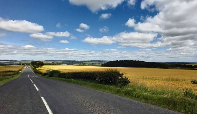
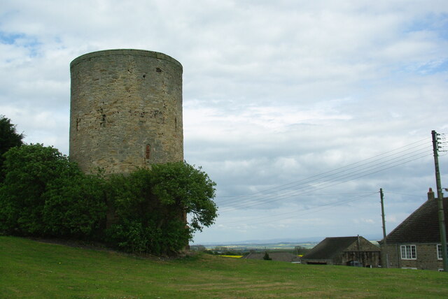
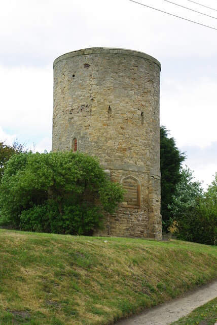
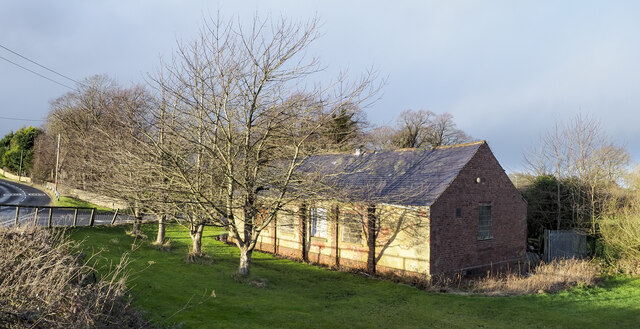
Images are sourced within 2km of 54.68439/-1.6462765 or Grid Reference NZ2232. Thanks to Geograph Open Source API. All images are credited.


Binchester is located at Grid Ref: NZ2232 (Lat: 54.68439, Lng: -1.6462765)
Unitary Authority: County Durham
Police Authority: Durham
What 3 Words
///napkins.cheaply.inhabited. Near Coundon, Co. Durham
Nearby Locations
Related Wikis

Binchester
Binchester is a small village in County Durham, England. It has a population of 271. It is situated between Bishop Auckland, which is to the south, and...
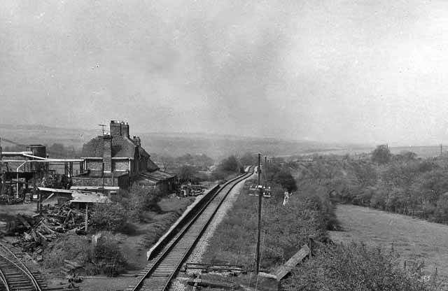
Byers Green railway station
Byers Green railway station was one of three railway stations that served in the village of Byers Green in County Durham, Northeast England. == History... ==

Middlestone Moor
Middlestone Moor is a village in County Durham, England. It is situated to the south west of Spennymoor - within the town council's limits. On 12 February...
Westerton, County Durham
Westerton is a village and former civil parish in the County Durham district, in the ceremonial county of Durham, England. In the 2001 census Westerton...
Nearby Amenities
Located within 500m of 54.68439,-1.6462765Have you been to Binchester?
Leave your review of Binchester below (or comments, questions and feedback).