Binbrook

Settlement in Lincolnshire East Lindsey

England

Binbrook

Footpath past Binbrook Top
Footpath past Binbrook Top Credit: David Brown

Binbrook is a charming village nestled in the Lincolnshire Wolds, an Area of Outstanding Natural Beauty in eastern England. Located approximately 9 miles east of the historic city of Lincoln, the village offers a picturesque countryside setting with a population of around 1,000 residents.

With its origins dating back to Roman times, Binbrook has a rich history that is evident in its architecture and landmarks. The centerpiece of the village is the beautiful St. Mary and St. Gabriel Church, a Grade I listed building dating back to the 13th century. The church is renowned for its stunning stained glass windows and intricate woodwork.

Binbrook provides a range of amenities for its residents and visitors. The village has a primary school, a post office, and a convenience store, ensuring that essential needs are met. The local pub, The Plough, offers a cozy atmosphere and is a popular spot for locals to gather and socialize.

Nature lovers are drawn to Binbrook for its idyllic surroundings. The Lincolnshire Wolds, with their rolling hills and scenic walks, provide ample opportunities for outdoor activities such as hiking, cycling, and birdwatching. The nearby Snipe Dales Country Park is a haven for wildlife enthusiasts, offering serene nature trails and a tranquil lake.

Overall, Binbrook offers a peaceful and close-knit community with a rich historical heritage and stunning natural landscapes. It is a place that provides a welcome retreat from the hustle and bustle of urban life, while still offering convenient access to the nearby city of Lincoln.

If you have any feedback on the listing, please let us know in the comments section below.
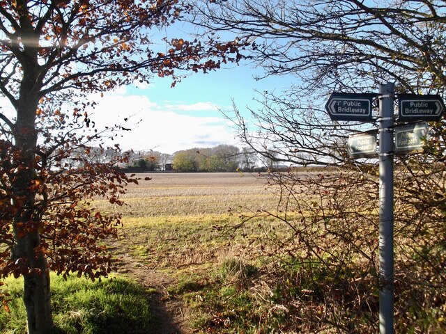
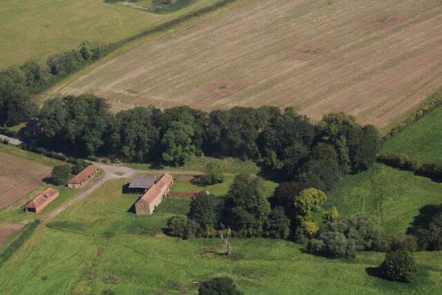
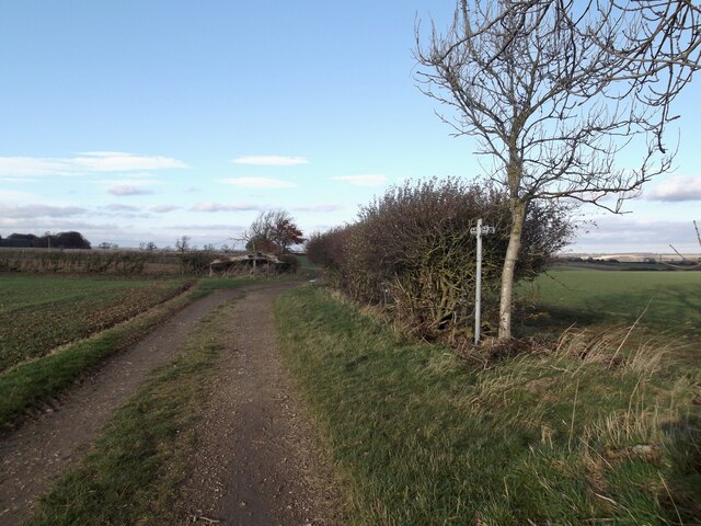
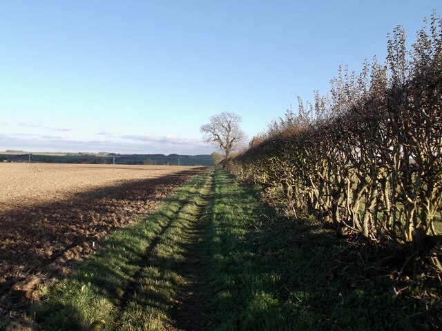
Binbrook Images

Images are sourced within 2km of 53.428301/-0.179951 or Grid Reference TF2193. Thanks to Geograph Open Source API. All images are credited.

Footpath past Binbrook Top
Part of site of Orford Priory and DMV: aerial 2022 See: <span class="nowrap"><a title="https://www.heritagegateway.org.uk/Gateway/Results_Single.aspx?uid=MLI50709&resourceID=1006" rel="nofollow ugc noopener" href="https://www.heritagegateway.org.uk/Gateway/Results_Single.aspx?uid=MLI50709&resourceID=1006">Link</a><img style="margin-left:2px;" alt="External link" title="External link - shift click to open in new window" src="https://s1.geograph.org.uk/img/external.png" width="10" height="10"/></span> (Premonstratensian Nunnery) and 
<span class="nowrap"><a title="https://www.heritagegateway.org.uk/Gateway/Results_Single.aspx?uid=MLI50708&resourceID=1006" rel="nofollow ugc noopener" href="https://www.heritagegateway.org.uk/Gateway/Results_Single.aspx?uid=MLI50708&resourceID=1006">Link</a><img style="margin-left:2px;" alt="External link" title="External link - shift click to open in new window" src="https://s1.geograph.org.uk/img/external.png" width="10" height="10"/></span> (DMV).
Part of site of Orford Priory and DMV: aerial 2022
See: LinkExternal link (Premonstratensian Nunnery) and LinkExternal link (DMV).
Priory Farm and site of Orford Priory: aerial 2022 See: <a href="https://www.geograph.org.uk/photo/7281818">TF1994 : Part of site of Orford Priory and DMV: aerial 2022</a>.
Priory Farm and site of Orford Priory: aerial 2022
Across Orford to Binbrook disused aerodrome: aerial 2022 Aerodrome in <a href="https://www.geograph.org.uk/gridref/TF1996">TF1996</a>, is now restored to agricultural use.

Site of Orford Priory left, in <a href="https://www.geograph.org.uk/gridref/TF1994">TF1994</a>. See <span class="nowrap"><a title="https://www.british-history.ac.uk/vch/lincs/vol2/p209" rel="nofollow ugc noopener" href="https://www.british-history.ac.uk/vch/lincs/vol2/p209">Link</a><img style="margin-left:2px;" alt="External link" title="External link - shift click to open in new window" src="https://s1.geograph.org.uk/img/external.png" width="10" height="10"/></span>
Across Orford to Binbrook disused aerodrome: aerial 2022
Aerodrome in TF1996, is now restored to agricultural use. Site of Orford Priory left, in TF1994. See LinkExternal link
Orford Priory Farm and earthworks: aerial 2023 Farm built on part of the site of Irford or Orford Priory, a house of Premonstratensian nuns founded in the mid 12th century and dissolved 1539.

See <span class="nowrap"><a title="https://www.heritagegateway.org.uk/Gateway/Results_Single.aspx?uid=MLI50709&resourceID=1006" rel="nofollow ugc noopener" href="https://www.heritagegateway.org.uk/Gateway/Results_Single.aspx?uid=MLI50709&resourceID=1006">Link</a><img style="margin-left:2px;" alt="External link" title="External link - shift click to open in new window" src="https://s1.geograph.org.uk/img/external.png" width="10" height="10"/></span>
Orford Priory Farm and earthworks: aerial 2023
Farm built on part of the site of Irford or Orford Priory, a house of Premonstratensian nuns founded in the mid 12th century and dissolved 1539. See LinkExternal link
Footpath through Binbrook
Track to Sycamore Farm
Bridleway and path looking north
Path to Binbrook
Path to Binbrook
Direction Sign – Signpost beside the B1203 in Binbrook Located on the southeast side of the junction of the B1203 Swinhope Hill and Newton Lane in Binbrook parish. 3 arms but no finial. See also <a title="https://www.geograph.org.uk/photo/3496528" href="https://www.geograph.org.uk/photo/3496528">Link</a>.

Milestone Society National ID: LI_TF2194
Direction Sign – Signpost beside the B1203 in Binbrook
Located on the southeast side of the junction of the B1203 Swinhope Hill and Newton Lane in Binbrook parish. 3 arms but no finial. See also Link. Milestone Society National ID: LI_TF2194
Binbrook, Chestnuts Farm: aerial 2022
Field SE of Brookenby, and across former R.A.F. Binbrook: aerial 2022 (1) Disused airfield estate (now Brookenby) in <a href="https://www.geograph.org.uk/gridref/TF1995">TF1995</a>.
Field SE of Brookenby, and across former R.A.F. Binbrook: aerial 2022 (1)
Disused airfield estate (now Brookenby) in TF1995.
Field SE of Brookenby, and across former R.A.F. Binbrook: aerial 2022 (2)
Fields east of Brookenby: aerial 2023
Soilmarks alongside the road to Binbrook: aerial 2023 (1)
Soilmarks alongside the road to Binbrook: aerial 2023 (2) Left line of trees marks the road, right line of trees marks the (parallel) bridleway.
Soilmarks alongside the road to Binbrook: aerial 2023 (2)
Left line of trees marks the road, right line of trees marks the (parallel) bridleway.
Excavation of a Roman villa at Brookenby: aerial 2023 (1)
Show me another place!

Binbrook is located at Grid Ref: TF2193 (Lat: 53.428301, Lng: -0.179951)

Division: Parts of Lindsey

Administrative County: Lincolnshire

District: East Lindsey

Police Authority: Lincolnshire

What 3 Words

///smiled.steepest.crafts. Near Wold Newton, Lincolnshire

Nearby Locations

Binbrook

Related Wikis

Binbrook

Binbrook is a village and civil parish in the East Lindsey district of Lincolnshire, England. It is situated on the B1203 road, and 8 miles (13 km) north...

Brookenby Church

Brookenby Church is located in Brookenby, Lincolnshire, England. A member of the Church of England, it forms part of the Walesby group of churches, which...

Brookenby

Brookenby is a village and civil parish in the West Lindsey district of Lincolnshire, England. The village is situated 7 miles (11 km) north-east from...

Swinhope

Swinhope is a village and civil parish about 6 miles west south west of North Thoresby railway station, in the West Lindsey district, in the county of...

Nearby Amenities

Located within 500m of 53.428301,-0.179951
Binbrook
Is In: Lincolnshire, England, UK
Place: village
Source: NPE
Lat/Long: 53.4290439/-0.179191
Orford Road
Naptan AtcoCode: 270002700232
Naptan Bearing: NW
Naptan BusStopType: CUS
Naptan CommonName: Orford Road
Naptan Indicator: opp
Naptan Landmark: Binbrook C of E Primary School
Naptan NaptanCode: linadmjd
Naptan Street: Orford Road
Naptan Verified: no
Source: naptan_import
Lat/Long: 53.4301316/-0.1836854
Bus Stop
Bus Shelter
Naptan AtcoCode: 2700LBMP1694
Naptan Bearing: SE
Naptan CommonName: Bus Shelter
Naptan Indicator: adj
Naptan Landmark: Bus Shelter
Naptan NaptanCode: linamjaj
Naptan Street: Market Place
Naptan Verified: no
Shelter: yes
Source: naptan_import
Lat/Long: 53.4285019/-0.1799767
Orford Road
Naptan AtcoCode: 2700LBS04124
Naptan Bearing: SE
Naptan BusStopType: CUS
Naptan CommonName: Orford Road
Naptan Indicator: adj
Naptan Landmark: Binbrook C of E Primary School
Naptan NaptanCode: lindjdaw
Naptan Street: Orford Road
Naptan Verified: no
Source: naptan_import
Lat/Long: 53.4301839/-0.1835778
Turning Circle
Lat/Long: 53.4291746/-0.1784157
Turning Circle
Lat/Long: 53.4253027/-0.1781169
Power: pole
Lat/Long: 53.4326257/-0.181906
Chestnut Farm
Place: farm
Source: Bing
Lat/Long: 53.424712/-0.1798163
English Electric Lightning
Historic: aircraft
Lat/Long: 53.424774/-0.1793744
Power: pole
Lat/Long: 53.4290476/-0.1859924
Power: pole
Lat/Long: 53.4296917/-0.1866227
Power: pole
Lat/Long: 53.431857/-0.1755399
Generator Method: photovoltaic
Generator Output Electricity: yes
Generator Source: solar
Generator Type: solar_photovoltaic_panel
Location: roof
Power: generator
Lat/Long: 53.4286193/-0.1821523
Generator Method: photovoltaic
Generator Output Electricity: yes
Generator Source: solar
Generator Type: solar_photovoltaic_panel
Location: roof
Power: generator
Lat/Long: 53.4301069/-0.1765927
Generator Method: photovoltaic
Generator Output Electricity: yes
Generator Source: solar
Generator Type: solar_photovoltaic_panel
Location: roof
Power: generator
Lat/Long: 53.4281949/-0.1787322
Generator Method: photovoltaic
Generator Output Electricity: yes
Generator Source: solar
Generator Type: solar_photovoltaic_panel
Location: roof
Power: generator
Lat/Long: 53.4283305/-0.1821781
Generator Method: photovoltaic
Generator Output Electricity: yes
Generator Source: solar
Generator Type: solar_photovoltaic_panel
Location: roof
Power: generator
Lat/Long: 53.4268498/-0.1783501
Generator Method: photovoltaic
Generator Output Electricity: yes
Generator Source: solar
Generator Type: solar_photovoltaic_panel
Location: roof
Power: generator
Lat/Long: 53.426137/-0.1766109
Generator Method: photovoltaic
Generator Output Electricity: yes
Generator Source: solar
Generator Type: solar_photovoltaic_panel
Location: roof
Power: generator
Lat/Long: 53.4290092/-0.1812319
Generator Method: photovoltaic
Generator Output Electricity: yes
Generator Source: solar
Generator Type: solar_photovoltaic_panel
Location: roof
Power: generator
Lat/Long: 53.428613/-0.1821995
Generator Method: photovoltaic
Generator Output Electricity: yes
Generator Source: solar
Generator Type: solar_photovoltaic_panel
Location: roof
Power: generator
Lat/Long: 53.4298435/-0.1847724
Generator Method: photovoltaic
Generator Output Electricity: yes
Generator Source: solar
Generator Type: solar_photovoltaic_panel
Location: roof
Power: generator
Lat/Long: 53.4298877/-0.1810151
Generator Method: photovoltaic
Generator Output Electricity: yes
Generator Source: solar
Generator Type: solar_photovoltaic_panel
Location: roof
Power: generator
Lat/Long: 53.4315763/-0.1761809
Generator Method: photovoltaic
Generator Output Electricity: yes
Generator Source: solar
Generator Type: solar_photovoltaic_panel
Location: roof
Power: generator
Lat/Long: 53.4268588/-0.1782976
Generator Method: photovoltaic
Generator Output Electricity: yes
Generator Source: solar
Generator Type: solar_photovoltaic_panel
Location: roof
Power: generator
Lat/Long: 53.4288751/-0.1810066
Generator Method: photovoltaic
Generator Output Electricity: yes
Generator Source: solar
Generator Type: solar_photovoltaic_panel
Location: roof
Power: generator
Lat/Long: 53.4300923/-0.1821952
Generator Method: photovoltaic
Generator Output Electricity: yes
Generator Source: solar
Generator Type: solar_photovoltaic_panel
Location: roof
Power: generator
Lat/Long: 53.429839/-0.1811159
Generator Method: photovoltaic
Generator Output Electricity: yes
Generator Source: solar
Generator Type: solar_photovoltaic_panel
Location: roof
Power: generator
Lat/Long: 53.4294337/-0.1815216
Generator Method: photovoltaic
Generator Output Electricity: yes
Generator Source: solar
Generator Type: solar_photovoltaic_panel
Location: roof
Power: generator
Lat/Long: 53.429706/-0.1760542
Cafe
B17 Cafe
Addr City: Market Rasen
Addr Country: GB
Addr Postcode: LN8 6DE
Addr Street: Market Place
Addr Suburb: Binbrook
Fhrs Authority: East Lindsey
Fhrs Id: 1136700
Fhrs Local Authority Id: EHFDI/01339/19
Lat/Long: 53.428012/-0.1798636
Pub
The Plough Inn
Addr City: Market Rasen
Addr Country: GB
Addr Postcode: LN8 6DE
Addr Street: Market Place
Addr Suburb: Binbrook
Fhrs Authority: East Lindsey
Fhrs Id: 433248
Fhrs Local Authority Id: EHFDI/01810/08
Lat/Long: 53.4279017/-0.1796999
Fast Food
Sing Pao
Addr City: Market Rasen
Addr Country: GB
Addr Postcode: LN8 6DE
Addr Street: Market Place
Addr Suburb: Binbrook
Fhrs Authority: East Lindsey
Fhrs Id: 155775
Fhrs Local Authority Id: EHFDI/00826/08
Lat/Long: 53.4287168/-0.1801398
Manor View Stores
Addr City: Market Rasen
Addr Country: GB
Addr Postcode: LN8 6DE
Addr Street: Market Place
Addr Suburb: Binbrook
Fhrs Authority: East Lindsey
Fhrs Id: 156129
Fhrs Local Authority Id: EHFDI/02021/08
Shop: convenience
Lat/Long: 53.4285442/-0.1805207
Information: board
Tourism: information
Lat/Long: 53.4282911/-0.179852
Post Box
Post Box Type: pillar
Royal Cypher: GR
Royal Cypher Wikidata: Q33102273
Lat/Long: 53.4280914/-0.1798573
Historic: water_pump
Lat/Long: 53.4283758/-0.1802033
Information: guidepost
Tourism: information
Lat/Long: 53.4283487/-0.1802355
Telephone
Booth: K6
Covered: booth
Listed Status: Grade II
Lat/Long: 53.4286683/-0.1805252
Man Made: tower
Lat/Long: 53.4278333/-0.176541
Defibrillator
Access: yes
Defibrillator Location: outside Binbrook Community Fire Station
Emergency: defibrillator
Indoor: no
Lat/Long: 53.4277717/-0.1768027
The data included in this document is from www.openstreetmap.org. The data is made available under ODbL.

Have you been to Binbrook?

Leave your review of Binbrook below (or comments, questions and feedback).