Park Street
Settlement in Hertfordshire St. Albans
England
Park Street
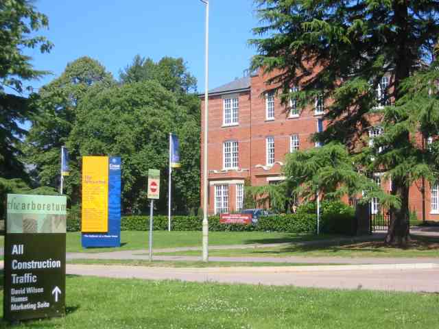
Park Street is a small village located in the county of Hertfordshire, England. Situated approximately 3 miles south of St Albans, it falls under the local government district of St Albans City and District. The village is part of the larger parish of St Stephen.
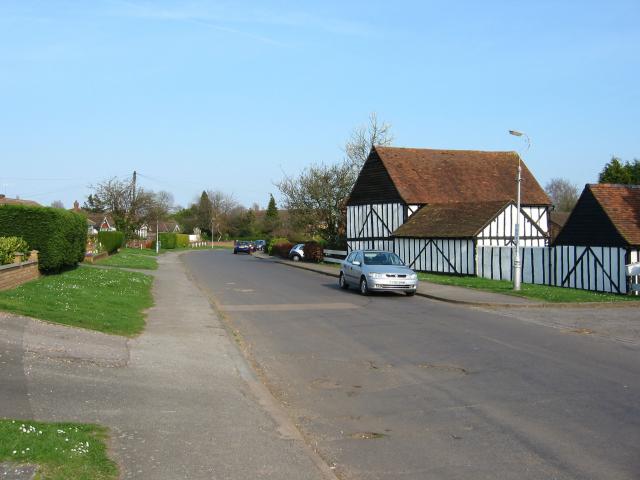
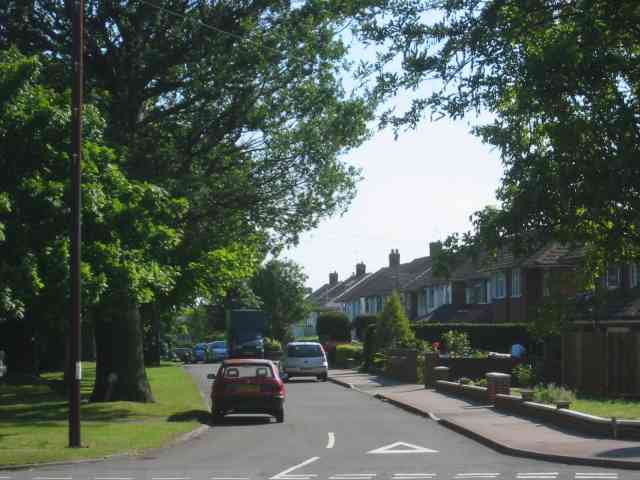
Park Street is primarily a residential area, characterized by a mix of housing styles ranging from modern developments to traditional cottages. The village boasts a close-knit community and offers a peaceful and family-friendly environment. It benefits from its proximity to the city of St Albans, which provides residents with a range of amenities and services.
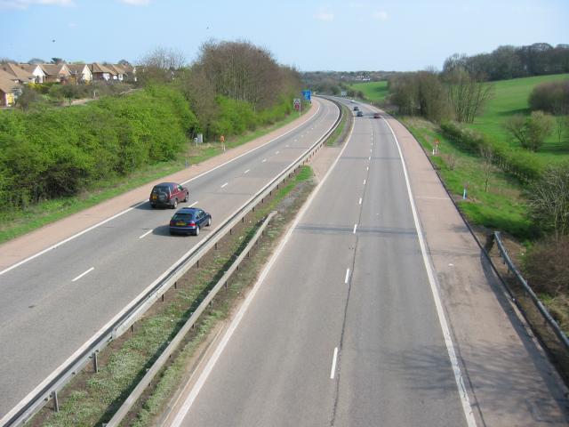
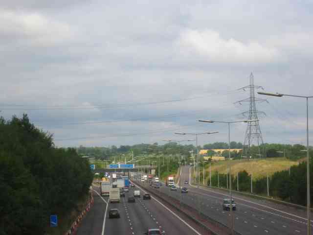
The village is well-served by transport links, with the M25 motorway just a short drive away, offering easy access to London and other major cities. The nearby St Albans City railway station also provides regular train services to London and other destinations.
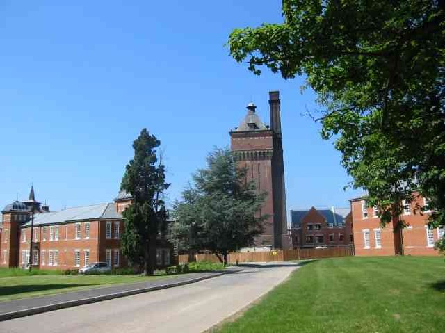
Park Street is surrounded by picturesque countryside, making it an attractive location for nature enthusiasts and those seeking outdoor activities. The nearby Verulamium Park, with its lakes, wildlife, and Roman ruins, provides an ideal spot for leisurely walks or picnics. The village is also close to the Hertfordshire countryside, offering opportunities for hiking, cycling, and exploring the surrounding areas.
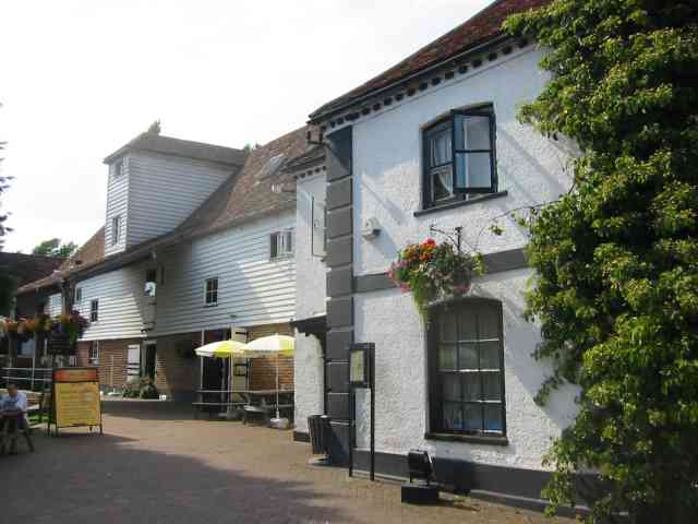
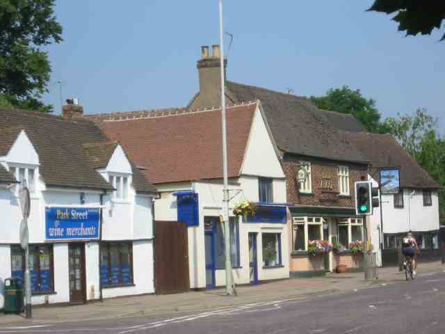
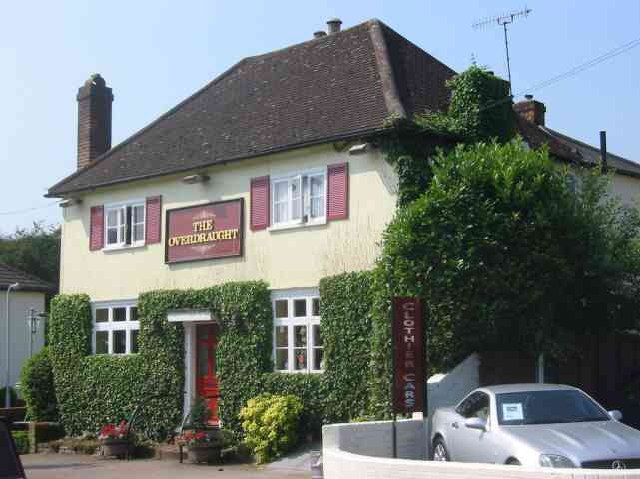
In terms of amenities, Park Street features a local convenience store, several pubs, and a primary school. For additional shopping facilities, residents can easily access the nearby city of St Albans, which offers a wide range of shops, restaurants, and entertainment options.
Overall, Park Street offers a tranquil and picturesque setting, with easy access to both urban and rural amenities, making it an appealing place to reside.
If you have any feedback on the listing, please let us know in the comments section below.
Park Street Images
Images are sourced within 2km of 51.722486/-0.3388072 or Grid Reference TL1403. Thanks to Geograph Open Source API. All images are credited.


Park Street is located at Grid Ref: TL1403 (Lat: 51.722486, Lng: -0.3388072)
Administrative County: Hertfordshire
District: St. Albans
Police Authority: Hertfordshire
What 3 Words
///sorters.swung.locate. Near St Albans, Hertfordshire
Nearby Locations
Related Wikis

Park Street, Hertfordshire
Park Street is a small Hertfordshire village on the southern outskirts of, and around 2 miles (3.2 km) south of the city centre of, St Albans in England...
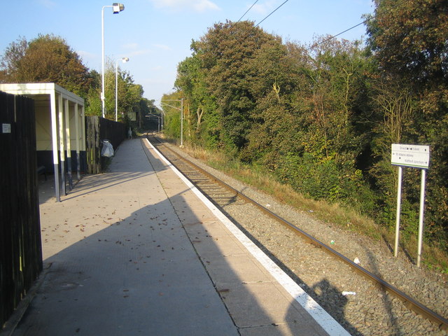
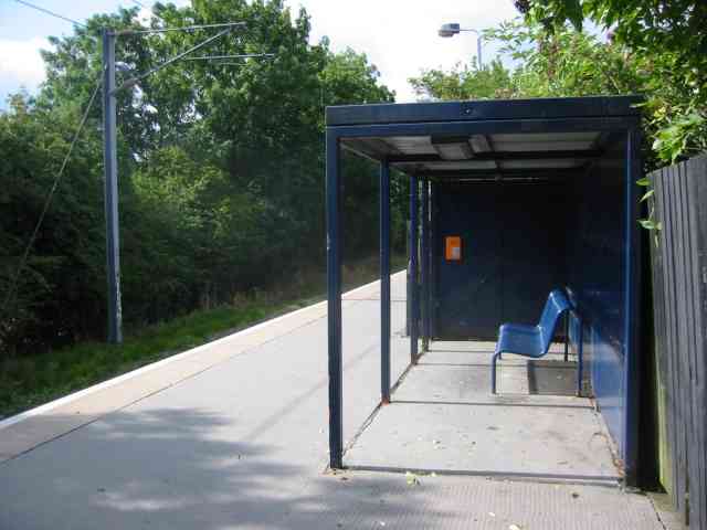
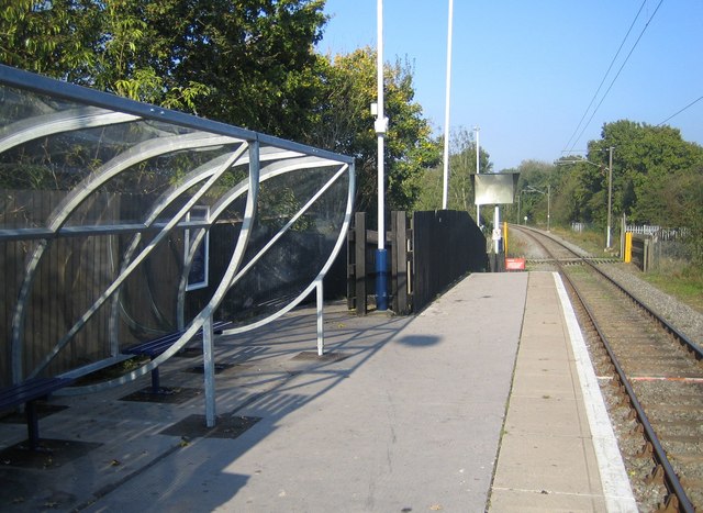
Park Street railway station (England)
Park Street railway station serves the village of Park Street, Hertfordshire, England. It is the penultimate station on the Abbey Line. The station and...
How Wood railway station
How Wood railway station is in the village of How Wood, Hertfordshire, England. It is the fourth station on the Abbey Line, 4+1⁄2 miles (7.2 km) from Watford...

How Wood
How Wood is a residential village, south of Park Street village between the centres of Watford and St Albans in St Stephen civil parish, Hertfordshire...
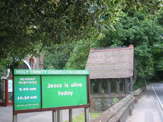
Frogmore, Hertfordshire
Frogmore is a village 3 miles (4.8 km) north of Radlett in Hertfordshire, and 2 miles (3.2 km) south of St Albans city centre (though in said city's contiguous...

Napsbury railway station
Napsbury railway station was built by the Midland Railway in 1905 on its line to St Pancras station. It was never more than an island platform between...

Spielplatz
Spielplatz (German for playground) is the longest-operating naturist resort in United Kingdom, and consists of 12 acres (4.9 ha) located in the village...

Moor Mill Quarry, West
Moor Mill Quarry, West is a 0.16-hectare (0.40-acre) geological Site of Special Scientific Interest in How Wood in Hertfordshire. The local planning authority...
Nearby Amenities
Located within 500m of 51.722486,-0.3388072Have you been to Park Street?
Leave your review of Park Street below (or comments, questions and feedback).