Parbrook

Settlement in Sussex Horsham

England

Parbrook

Newbridge Newbridge, on the A272 — a new bridge, because it was built to join the Shipley and Alfold Bar to Newbridge turnpikes. The bridge crosses the River Avon, with the former bridge (now causeway) over the Wey & Arun Canal shortly to the left.
Newbridge Credit: Hugh Craddock

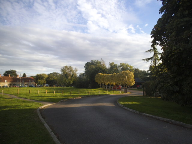
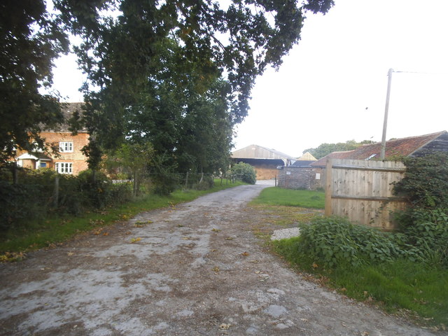
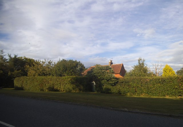
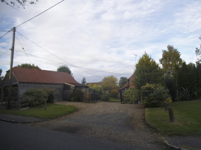
Parbrook is a small village located in the county of Sussex, England. Situated within the Horsham district, it is nestled in the heart of the beautiful Sussex countryside. With a population of around 500 residents, Parbrook exudes a charming rural character and offers a peaceful and idyllic setting.

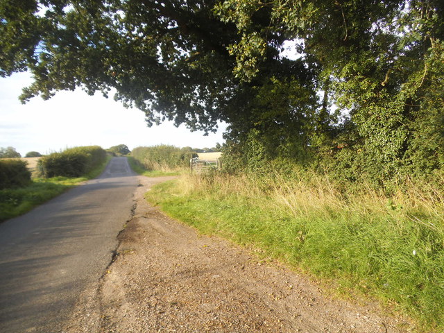
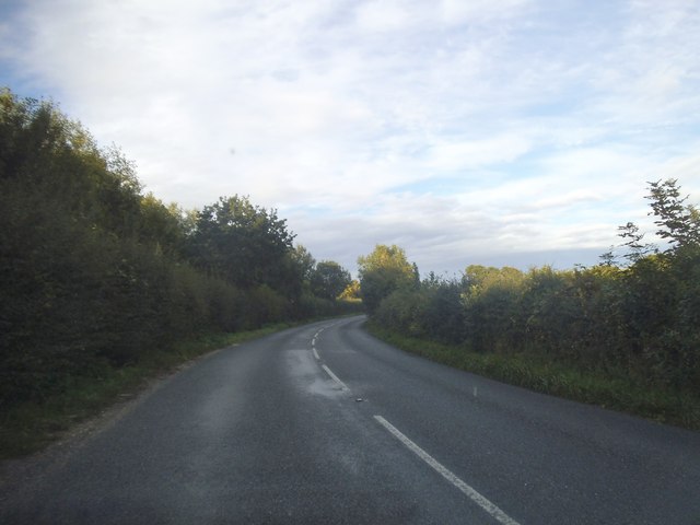
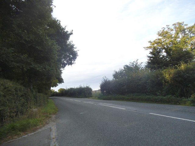
The village is surrounded by picturesque farmland, rolling hills, and lush green meadows, providing stunning views and ample opportunities for outdoor activities such as hiking and cycling. Parbrook benefits from its proximity to the nearby market town of Horsham, which is just a short drive away, offering a range of amenities and services.

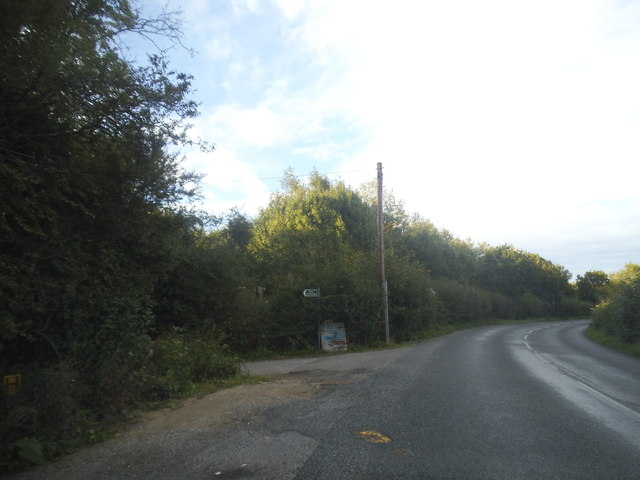
Parbrook is well-connected to the rest of Sussex and beyond via road links, with the A24 and A281 providing easy access to nearby towns and cities. The village also benefits from good public transportation, with regular bus services connecting it to the surrounding areas.

In terms of amenities, Parbrook boasts a local pub, The Parbrook Inn, which is a popular spot for both locals and visitors to enjoy a drink or a meal. The village also has a community center, where various events and activities are organized throughout the year, fostering a strong sense of community spirit.

Overall, Parbrook is a charming and peaceful village, offering a tranquil and scenic setting for its residents and visitors to enjoy. Its rural location, coupled with its close proximity to nearby towns and amenities, makes it an attractive place to live or visit.

If you have any feedback on the listing, please let us know in the comments section below.
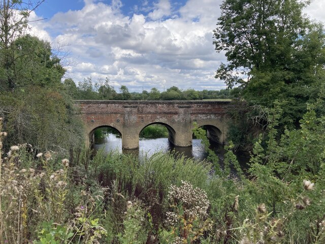
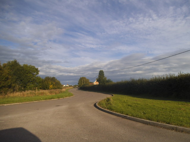
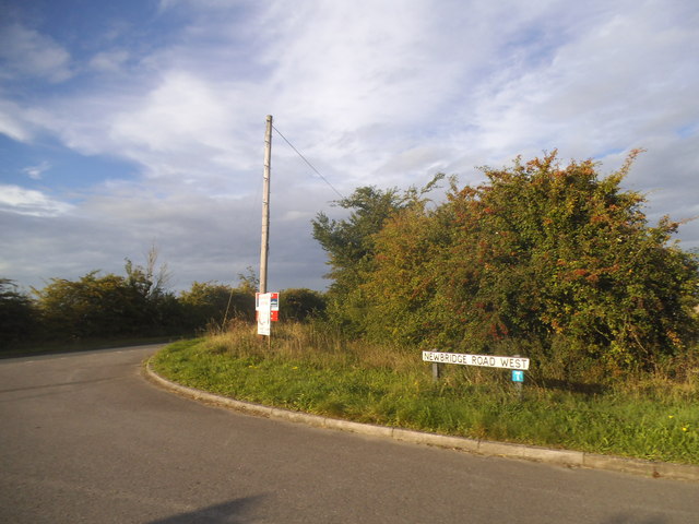
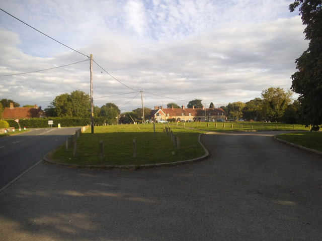
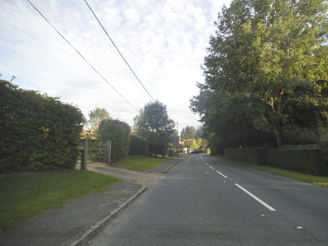
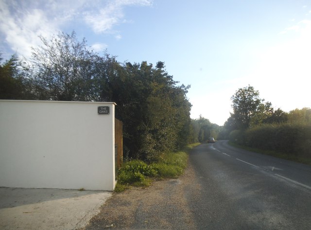
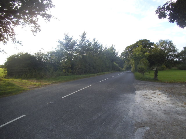
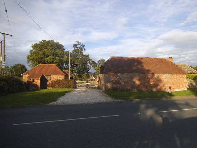
Parbrook Images

Images are sourced within 2km of 51.014417/-0.458913 or Grid Reference TQ0825. Thanks to Geograph Open Source API. All images are credited.

Newbridge Newbridge, on the A272 — a new bridge, because it was built to join the Shipley and Alfold Bar to Newbridge turnpikes. The bridge crosses the River Avon, with the former bridge (now causeway) over the Wey & Arun Canal shortly to the left.
Newbridge
Newbridge, on the A272 — a new bridge, because it was built to join the Shipley and Alfold Bar to Newbridge turnpikes. The bridge crosses the River Avon, with the former bridge (now causeway) over the Wey & Arun Canal shortly to the left.
Newbridge Road, Billingshurst
Newbridge Road West at the junction of the A272 Newbridge Road was cut in half by the Billingshurst bypass.
Newbridge Road West at the junction of the A272
Newbridge Road was cut in half by the Billingshurst bypass.
Green on Lordings Road, Adversane
The green, Adversane
Roundabout on the Billingshurst Bypass, Parbrook
Lordings Farm, Adversane
Lordings Road, Adversane
Rowner Road, Billingshurst
Lordings Road, Billingshurst
Lordings Road, Adversane The wall and fence has recently replaced a hedge
Lordings Road, Adversane
The wall and fence has recently replaced a hedge
Lordings Road, Adversane By the entrance to Lordings Farm
Lordings Road, Adversane
By the entrance to Lordings Farm
Southlands Farm, Adversane
Lordings Road, Adversane
Barn on Lordings Road, Billingshurst
Show me another place!

Parbrook is located at Grid Ref: TQ0825 (Lat: 51.014417, Lng: -0.458913)

Administrative County: West Sussex

District: Horsham

Police Authority: Sussex

What 3 Words

///mourner.jots.pitchers. Near Billingshurst, West Sussex

Related Wikis

The Weald School

The Weald School is a coeducational secondary school and sixth form. It caters for around 1,700 pupils in years 7 to 13, including over 300 in its sixth...

Billingshurst railway station

Billingshurst Railway Station serves the market town of Billingshurst, in West Sussex, England. It is on the Arun Valley Line 44 miles 71 chains (72.2...

A29 road

The A29 is a main road in England in Surrey and chiefly in West Sussex that runs for 34.4 miles (55.4 km). == Route == The road starts at the Beare Green...

Billingshurst Unitarian Chapel

Billingshurst Unitarian Chapel is a place of worship in Billingshurst in the English county of West Sussex. The cottage-like building was erected in 1754...

Nearby Amenities

Located within 500m of 51.014417,-0.458913
Source: Landsat photo
Lat/Long: 51.0120326/-0.4578466
Source: Landsat photo
Lat/Long: 51.0145953/-0.4528258
Mini Roundabout
Direction: clockwise
Lat/Long: 51.0148063/-0.4570994
Barrier: stile
Lat/Long: 51.0164693/-0.4633143
Barrier: stile
Lat/Long: 51.0178038/-0.4631127
Barrier: stile
Lat/Long: 51.012769/-0.4619997
Barrier: stile
Lat/Long: 51.0138035/-0.4629326
Barrier: stile
Lat/Long: 51.0137944/-0.4634961
Weald School
Naptan AtcoCode: 4400HR0060
Naptan Bearing: SW
Naptan BusStopType: CUS
Naptan CommonName: Weald School
Naptan Indicator: o/s school
Naptan Landmark: School
Naptan NaptanCode: wsxatgtp
Naptan Street: Stane Street
Naptan Verified: no
Source: naptan_import
Lat/Long: 51.0174077/-0.4553108
Weald School
Naptan AtcoCode: 4400HR0061
Naptan Bearing: SW
Naptan BusStopType: CUS
Naptan CommonName: Weald School
Naptan Indicator: o/s school
Naptan Landmark: School
Naptan NaptanCode: wsxatgtw
Naptan Street: Stane Street
Naptan Verified: no
Source: naptan_import
Lat/Long: 51.0171411/-0.4555629
Bus Stop
The Gables Restaurant
Bus: yes
Naptan AtcoCode: 4400HR0062
Naptan Bearing: NE
Naptan CommonName: The Gables Restaurant
Naptan Indicator: opp The Gables
Naptan Landmark: Natts Lane
Naptan NaptanCode: wsxatgwa
Naptan Street: Stane Street
Naptan Verified: no
Public Transport: platform
Source: naptan_import
Lat/Long: 51.0144277/-0.4575066
Bus Stop
The Gables Restaurant
Bus: yes
Naptan AtcoCode: 4400HR0063
Naptan Bearing: SW
Naptan CommonName: The Gables Restaurant
Naptan Indicator: adj The Gables
Naptan Landmark: Natts Lane
Naptan NaptanCode: wsxatgwd
Naptan Street: Stane Street
Naptan Verified: no
Public Transport: platform
Source: naptan_import
Lat/Long: 51.0144248/-0.4572928
Bus Stop
Parbrook
Bus: yes
Naptan AtcoCode: 4400HR0064
Naptan Bearing: SW
Naptan CommonName: Parbrook
Naptan Indicator: adj Cranham Avenue
Naptan Landmark: Cranham Avenue
Naptan NaptanCode: wsxatgwg
Naptan Street: Stane Street
Naptan Verified: no
Public Transport: platform
Source: naptan_import
Lat/Long: 51.0129696/-0.458781
Bus Stop
Parbrook
Bus: yes
Naptan AtcoCode: 4400HR0065
Naptan Bearing: NE
Naptan BusStopType: CUS
Naptan CommonName: Parbrook
Naptan Indicator: opp. Cranham Avenue
Naptan Landmark: Cranham Avenue
Naptan NaptanCode: wsxatgwj
Naptan Street: Stane Street
Naptan Verified: no
Public Transport: platform
Source: naptan_import
Lat/Long: 51.0130531/-0.4589778
Bus Stop
Groomsland Drive
Bus: yes
Naptan AtcoCode: 4400HR0137
Naptan Bearing: NW
Naptan CommonName: Groomsland Drive
Naptan Indicator: adj Groomland Drive
Naptan Landmark: Groomsland Drive
Naptan NaptanCode: wsxatmgt
Naptan Street: Natts Lane
Naptan Verified: no
Public Transport: platform
Source: naptan_import
Lat/Long: 51.0133319/-0.4542069
Bus Stop
Belinus Drive
Bus: yes
Naptan AtcoCode: 4400HR0146
Naptan Bearing: W
Naptan CommonName: Belinus Drive
Naptan Indicator: opp Belinus Drive
Naptan Landmark: Belinus Drive
Naptan NaptanCode: wsxatmpa
Naptan Street: Forge Way
Naptan Verified: no
Public Transport: platform
Source: naptan_import
Lat/Long: 51.0184568/-0.4561609
Bus Stop
Groomlands Drive
Bench: yes
Bin: no
Bus: yes
Lit: yes
Naptan AtcoCode: 4400HR1115
Naptan Bearing: E
Naptan CommonName: Groomlands Drive
Naptan Indicator: Play Centre
Naptan Landmark: Lower Station Lane
Naptan NaptanCode: wsxdtatm
Naptan Street: Natts Lane
Naptan Verified: no
Public Transport: platform
Shelter: yes
Source: naptan_import
Tactile Paving: no
Lat/Long: 51.0128764/-0.4524116
Shop: car_repair
Lat/Long: 51.0150441/-0.4519554
Leisure: sports_centre
Lat/Long: 51.0170976/-0.4541248
Booth: K6
Removed Amenity: telephone
Lat/Long: 51.0145396/-0.4566859
Post Box
Collection Plate: CP7
Collection Times: Mo-Fr 17:00; Sa 09:30
Operator: Royal Mail
Operator Wikidata: Q638098
Post Box Mounting: telegraph_pole
Post Box Type: lamp
Ref: RH14 94
Royal Cypher: EIIR
Royal Cypher Wikidata: Q33102113
Lat/Long: 51.0143394/-0.4575604
Access: private
Leisure: swimming_pool
Sport: swimming
Lat/Long: 51.0165191/-0.4527065
Post Box
Collection Plate: CP1
Collection Times: Mo-Fr 17:00; Sa 09:30
Operator: Royal Mail
Operator Wikidata: Q638098
Post Box Type: pillar
Ref: RH14 232
Royal Cypher: EIIR
Royal Cypher Wikidata: Q33102113
Lat/Long: 51.0156859/-0.4621284
Washout Hydrant
Fire Hydrant
Emergency: fire_hydrant
Fire Hydrant Type: underground
Survey Date: 2018-11-11
Water Source: main
Lat/Long: 51.018708/-0.4590251
Crossing
Lat/Long: 51.0176988/-0.4613956
The data included in this document is from www.openstreetmap.org. The data is made available under ODbL.

Have you been to Parbrook?

Leave your review of Parbrook below (or comments, questions and feedback).